WA
Sheringham
By Watsons
£ 850
Watsons says ..
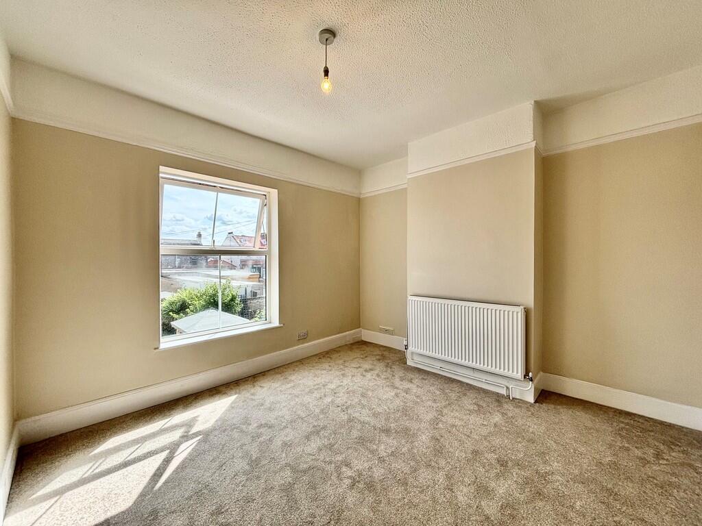
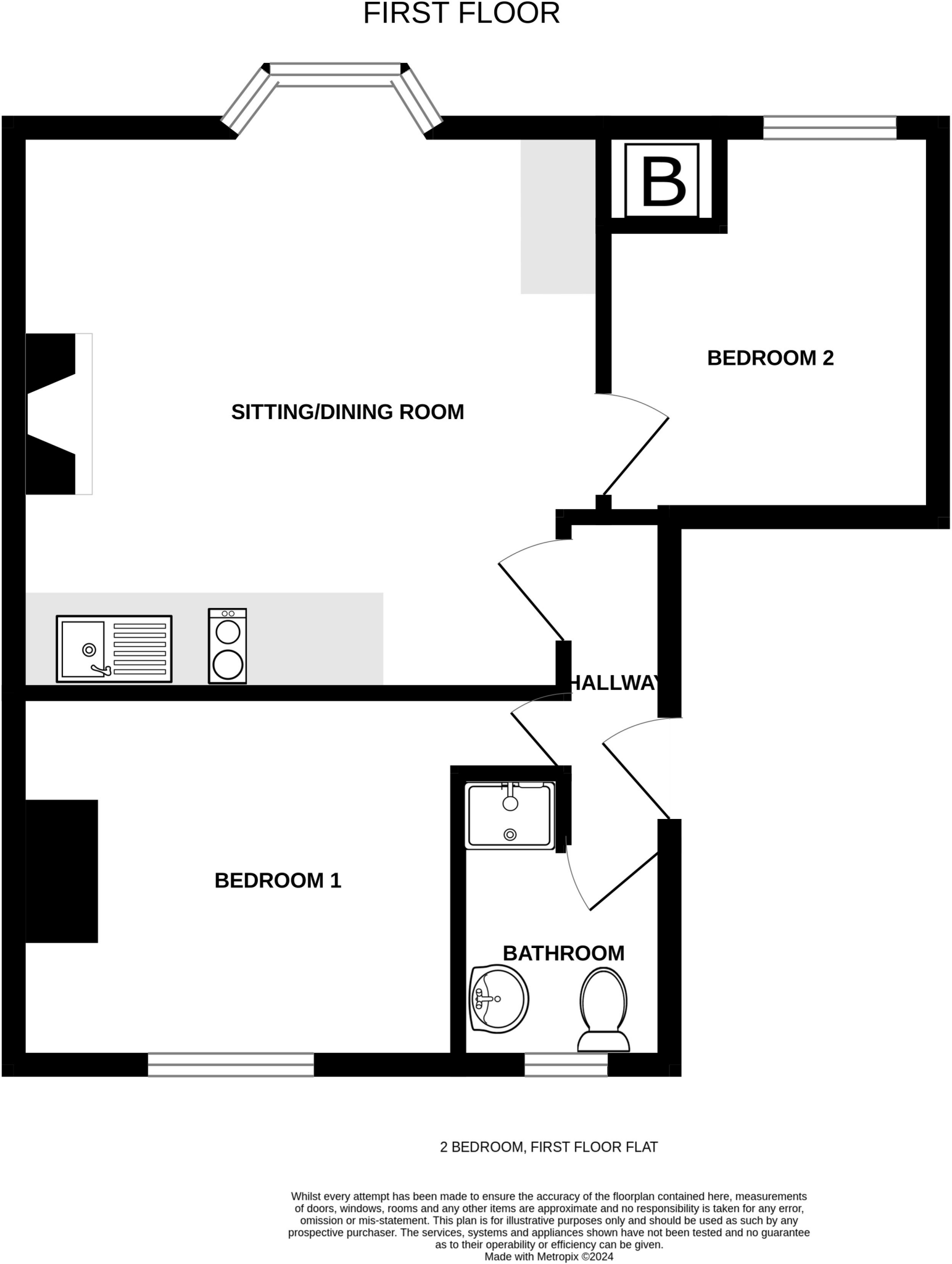
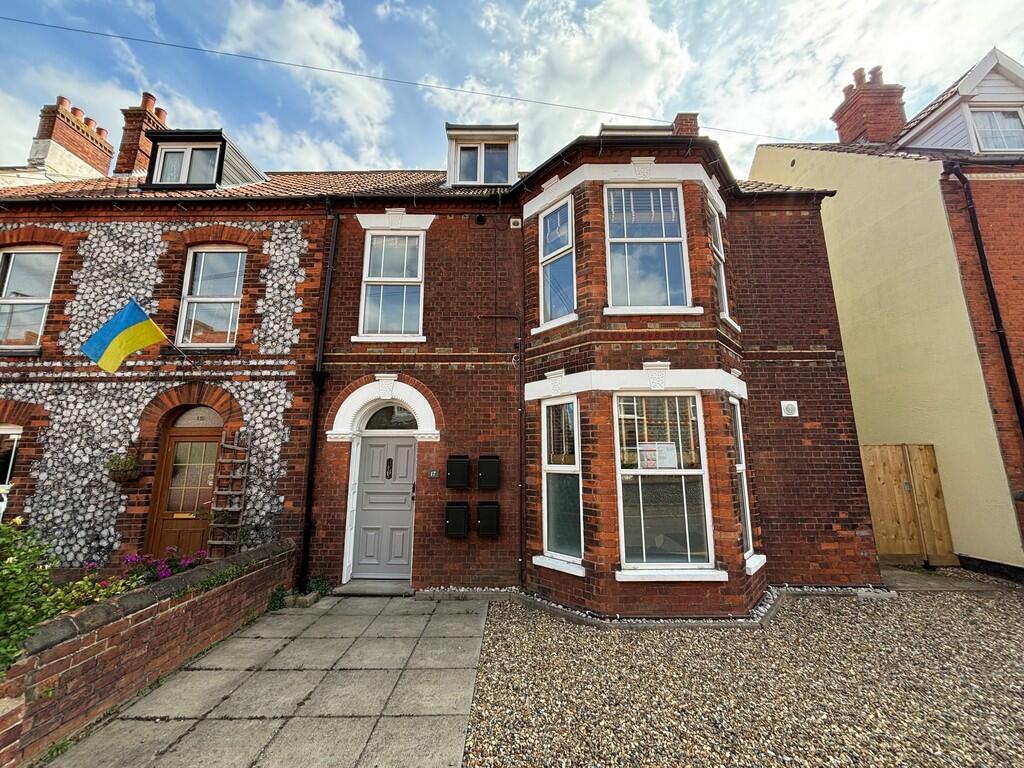
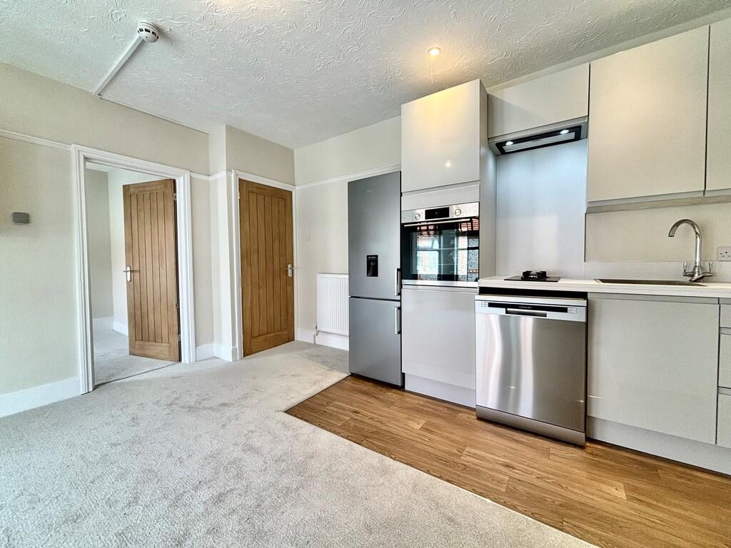
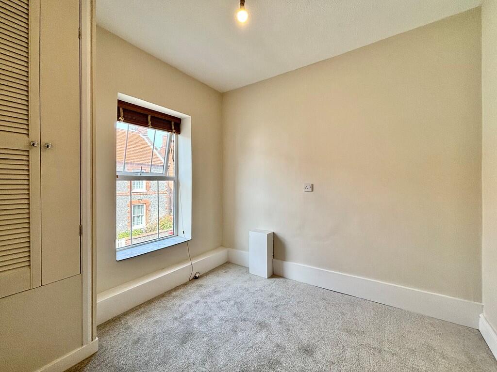
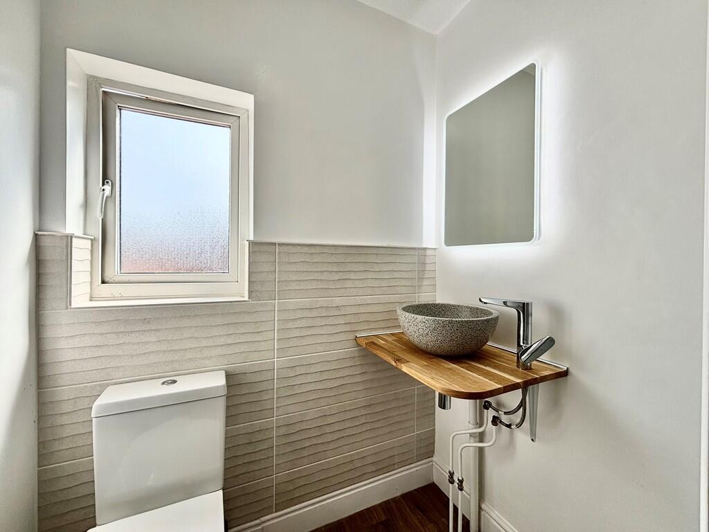
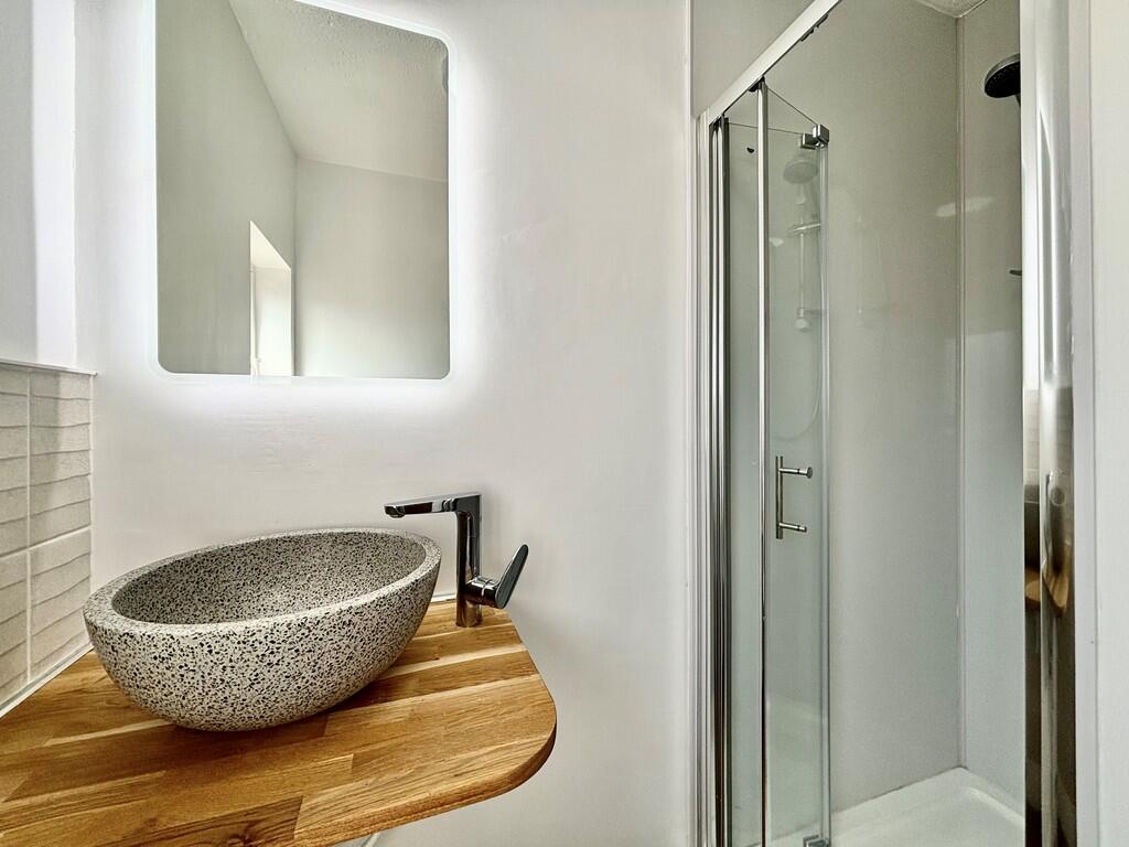
A modern, impressive two-bedroom first floor flat walking distance to the sea front and town centre.
- Bedrooms
- 2
- Bathrooms
- 1
The heatmap indicates the level of crime in the area. The color of the heatmap indicates the crime severity and recency.
Metrics Year-on-Year
- Average area value
- 348,333.00 £Increased by 12.03 %
- Average area rental value
- 1,250.00 £/moIncreased by 19.39 %
- Est rental Yield
- 4.31 %Increased by 6.68 %
- Crime Rate
- 39.00 %Unchanged by 0.00 %
from 310,939.00 £
from 1,047.00 £/mo
from 4.04 %
from 39.00 %
Agent Activity
Watsons created the listing.
Nearby Schools
| Name | Type | Ofsted | Distance |
|---|---|---|---|
| Sheringham Community Primary School | Community School | Good | 1.21 KM |
| Sheringham High School | Academy Converter | Good | 1.43 KM |
| Sheringham Woodfields School | Foundation Special School | Outstanding | 1.46 KM |
| Beeston Hall School | Other Independent School | 2.76 KM | |
| St Andrew'S School | Other Independent Special School | Good | 3.08 KM |
Images

Nearby Streets
| Name | Average Price | Average Sqft | Distance |
|---|---|---|---|
| Garden Road | £ 0 | 0 | 0.00 KM |
| Promenade | £ 390,000 | 0 | 0.00 KM |
| Heath Road | £ 0 | 0 | 0.00 KM |
| Abbey Road | £ 170,000 | 0 | 0.00 KM |
| Knowle Road | £ 180,000 | 0 | 0.00 KM |
Nearby Transport
| Name | NLC | TLC | Distance |
|---|---|---|---|
| Sheringham | 7319 | SHM | 0.14 KM |
| West Runton | 7329 | WRN | 4.05 KM |
| Cromer | 7295 | CMR | 9.31 KM |
Nearby Listings
| Address | Price | Type | Score | Distance |
|---|---|---|---|---|
| Sheringham | £ 850 | RENT | Unknown | 0.00 KM |
| Church Street, Sheringham, NR26 | £ 835 | RENT | Unknown | 0.07 KM |
| Sheringham, Norfolk | £ 825 | RENT | Unknown | 0.08 KM |
| Station Road, 91 Station Road, NR26 | £ 1,100 | RENT | Unknown | 0.10 KM |
| Church Street, Sheringham | £ 750 | RENT | Unknown | 0.12 KM |
Nearby Properties
| Address | Price | Distance |
|---|---|---|
| 7 Waterbank Road | £ 435,000 | 0.00 KM |
| 4 Waterbank Road | £ 415,000 | 0.00 KM |
| 6 Waterbank Road | £ 220,000 | 0.00 KM |
| 19 Waterbank Road | £ 365,000 | 0.00 KM |
| 16 Waterbank Road | £ 202,500 | 0.00 KM |