NE
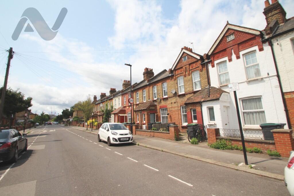
Farrant Avenue, London, N22 6PG
By Network Agencies
£ 2,200
Network Agencies says ..
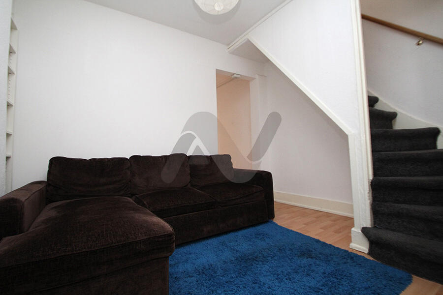
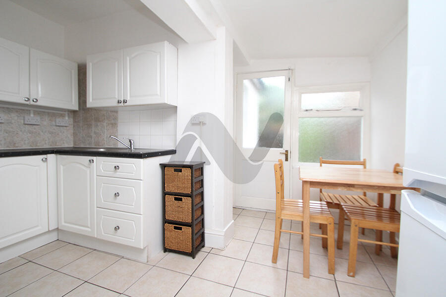
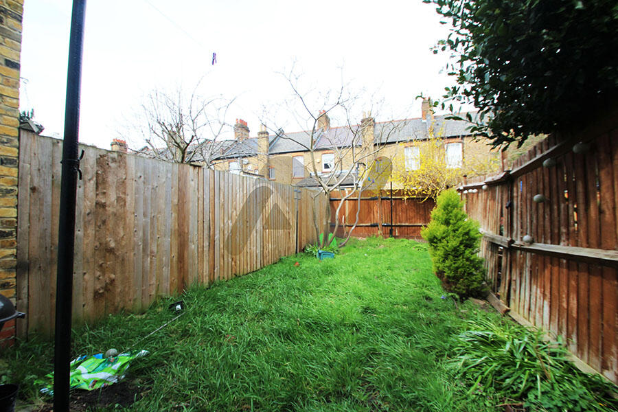
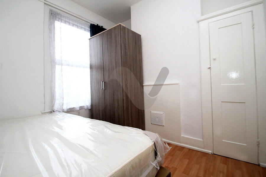
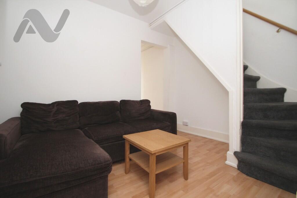
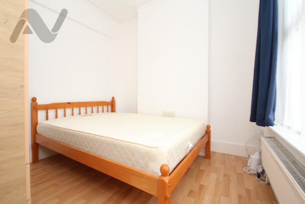
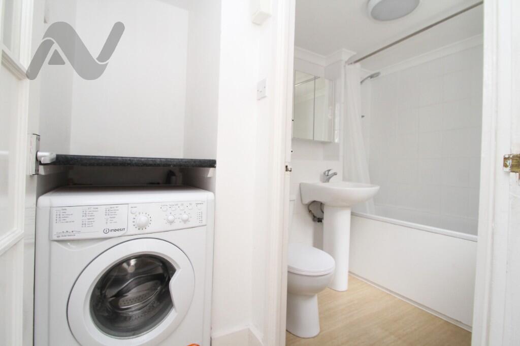
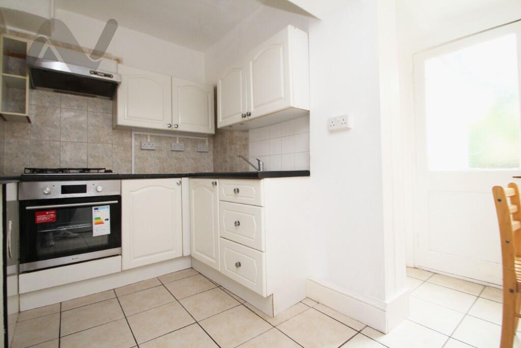
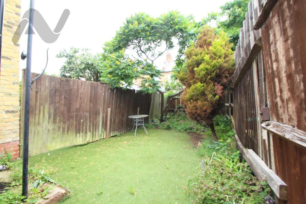
Cosy 3 bedroom terraced house to rent, featuring a private rear garden and excellent access to both Wood Green tube & the Shopping Centre. Available early / mid June 2025, exclusively with Network Agencies.
- Bedrooms
- 3
- Bathrooms
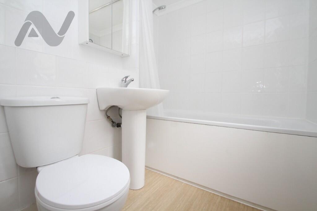
- 1
The heatmap indicates the level of crime in the area. The color of the heatmap indicates the crime severity and recency.
Metrics Year-on-Year
- Average area value
- 514,286.00 £Decreased by 0.49 %
- Average area rental value
- 1,644.00 £/moDecreased by 18.33 %
- Est rental Yield
- 3.84 %Decreased by 17.77 %
- Crime Rate
- 3.00 %Unchanged by 0.00 %
from 516,812.00 £
from 2,013.00 £/mo
from 4.67 %
from 3.00 %
Agent Activity
Network Agencies created the listing.
Nearby Schools
| Name | Type | Ofsted | Distance |
|---|---|---|---|
| Noel Park Children'S Centre | Children's Centre | 0.06 KM | |
| Lordship Lane Primary School | Community School | Good | 0.36 KM |
| Noel Park Primary School | Academy Sponsor Led | Outstanding | 0.62 KM |
| Woodside High School | Academy Converter | Outstanding | 0.67 KM |
| Belmont Infant School | Community School | Good | 0.81 KM |
Images


Nearby Streets
| Name | Average Price | Average Sqft | Distance |
|---|---|---|---|
| Erin Mews | £ 650,000 | 0 | 0.00 KM |
| Elm Road | £ 525,000 | 0 | 0.00 KM |
| Liberty Mews | £ 0 | 0 | 0.00 KM |
| Coldham Court | £ 300,000 | 0 | 0.00 KM |
| Acacia Road | £ 0 | 0 | 0.00 KM |
Nearby Transport
| Name | NLC | TLC | Distance |
|---|---|---|---|
| Hornsey | 6015 | HRN | 1.98 KM |
| Harringay Green Lanes | 7401 | HRY | 2.32 KM |
| Harringay | 6012 | HGY | 2.42 KM |
| Alexandra Palace | 6025 | AAP | 2.42 KM |
| Palmers Green | 6021 | PAL | 2.62 KM |
Nearby Listings
| Address | Price | Type | Score | Distance |
|---|---|---|---|---|
| Farrant Avenue, London, N22 | £ 2,000 | RENT | Unknown | 0.05 KM |
| Gladstone Avenue, London | £ 899 | RENT | Unknown | 0.05 KM |
| Darwin Road, London, N22 | £ 2,000 | RENT | Unknown | 0.17 KM |
| Hewitt Avenue, Wood Green, London | £ 2,150 | RENT | Unknown | 0.18 KM |
| Farrant Avenue, London | £ 1,850 | RENT | Unknown | 0.27 KM |
Nearby Properties
| Address | Price | Distance |
|---|---|---|
| 209 Farrant Avenue | £ 370,000 | 0.00 KM |
| 205 Farrant Avenue | £ 494,000 | 0.00 KM |
| 165 Farrant Avenue | £ 456,500 | 0.00 KM |
| 204 Farrant Avenue | £ 250,000 | 0.00 KM |
| 175 Farrant Avenue | £ 65,000 | 0.00 KM |