
SO
Hunstanton
By Sowerbys
£ 1,200
Sowerbys says ..
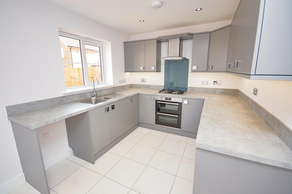
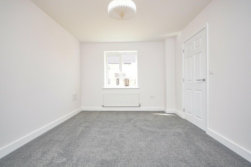
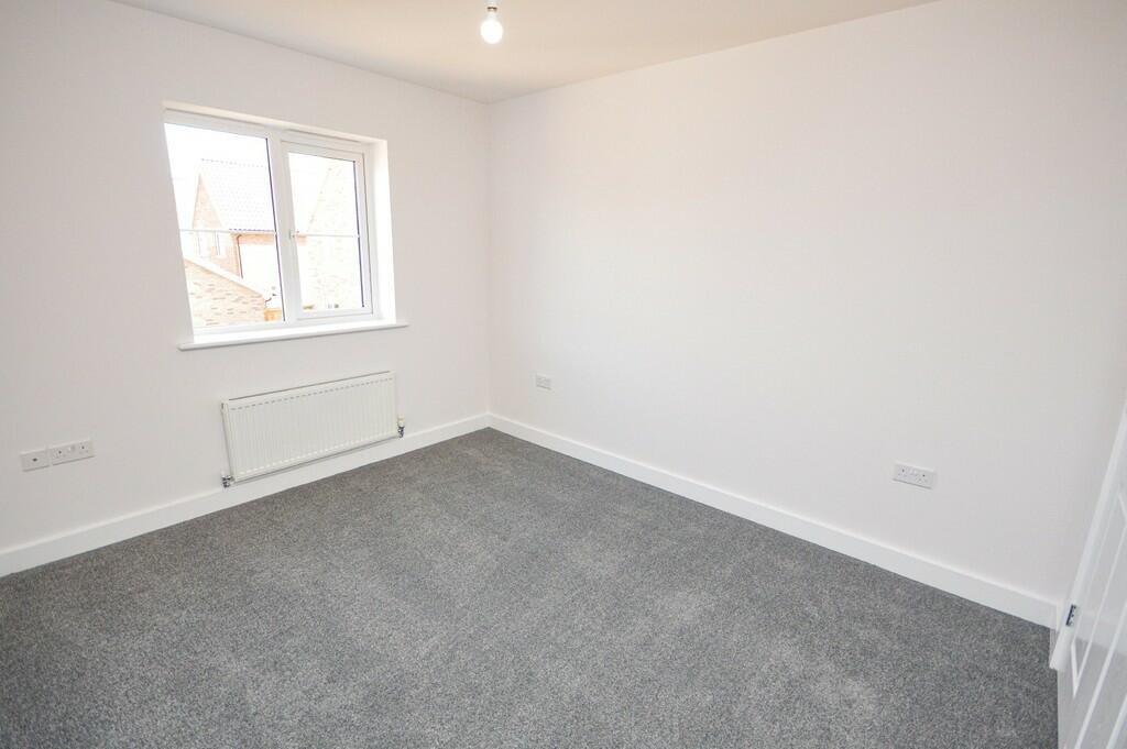
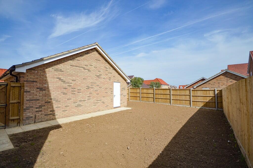
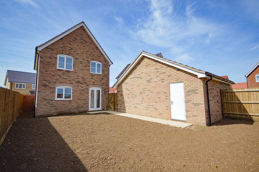
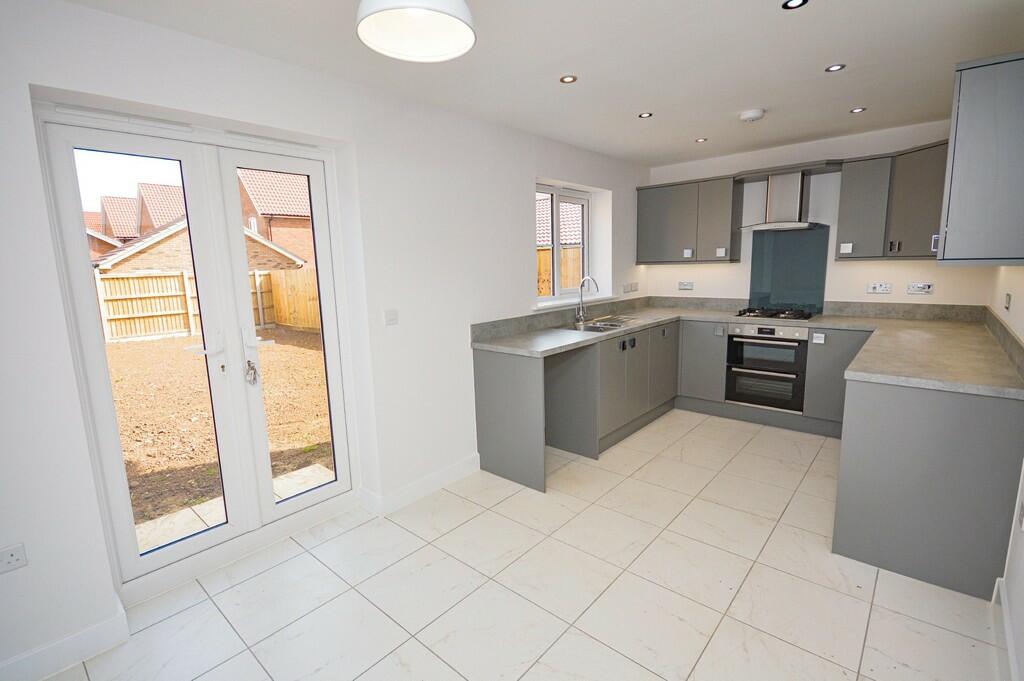
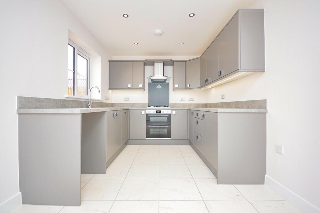
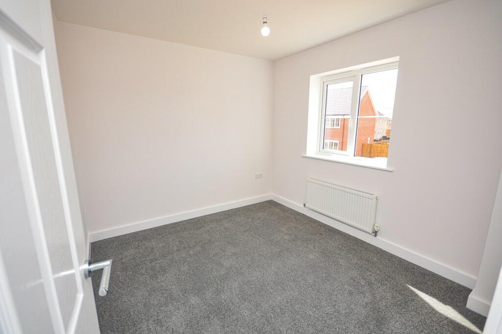
Situated on the much sought after St Edmunds Park development, this executive three bedroom detached home is within striking distance of the thriving Hunstanton town centre. Available Saturday 13th July 2024.
- Bedrooms
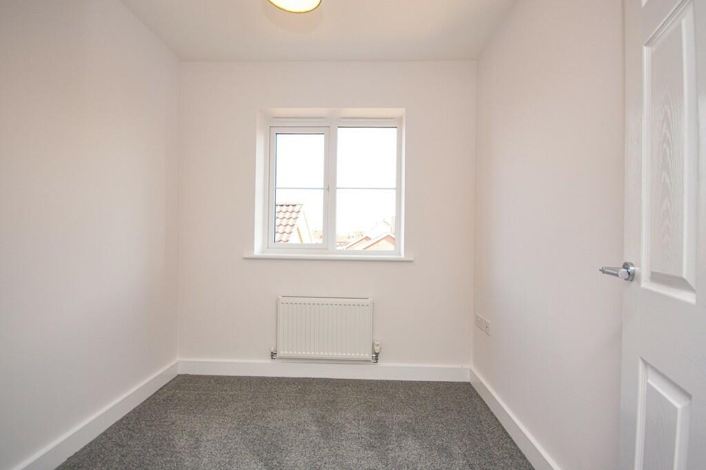
- 3
- Bathrooms
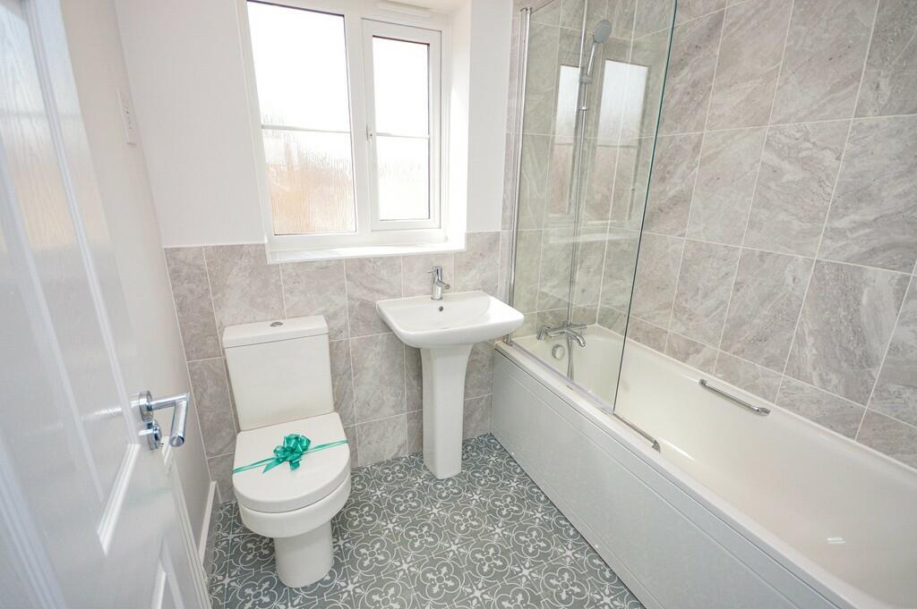
- 1
The heatmap indicates the level of crime in the area. The color of the heatmap indicates the crime severity and recency.
Metrics Year-on-Year
- Average area value
- 245,074.00 £Decreased by 15.93 %
- Average area rental value
- 1,254.00 £/moDecreased by 5.43 %
- Est rental Yield
- 6.14 %Increased by 12.45 %
- Crime Rate
- 26.00 %Unchanged by 0.00 %
from 291,529.00 £
from 1,326.00 £/mo
from 5.46 %
from 26.00 %
Agent Activity
Sowerbys created the listing.
Nearby Schools
| Name | Type | Ofsted | Distance |
|---|---|---|---|
| Glebe House School | Other Independent School | 0.63 KM | |
| Smithdon High School | Academy Sponsor Led | Requires improvement | 1.15 KM |
| Hunstanton Children'S Centre | Children's Centre | 1.58 KM | |
| Hunstanton Primary School | Foundation School | Good | 1.60 KM |
| Heacham Infant And Nursery School | Academy Converter | Good | 4.50 KM |
Images

Nearby Streets
| Name | Average Price | Average Sqft | Distance |
|---|---|---|---|
| Saxifrage Court | £ 0 | 0 | 0.00 KM |
| Poppy Crecent | £ 0 | 0 | 0.00 KM |
| Snowdrop Way | £ 0 | 0 | 0.00 KM |
| Kieth May Lane | £ 0 | 0 | 0.00 KM |
| Queens Gardens | £ 500,000 | 0 | 0.00 KM |
Nearby Listings
| Address | Price | Type | Score | Distance |
|---|---|---|---|---|
| Yarrow Drive, Hunstanton. | £ 1,600 | RENT | Unknown | 0.00 KM |
| Yarrow Drive, HUNSTANTON | £ 1,400 | RENT | Unknown | 0.00 KM |
| Poppy Crescent, HUNSTANTON | £ 1,700 | RENT | Unknown | 0.13 KM |
| Lighthouse Lane, Hunstanton, Norfolk, PE36 | £ 1,350 | RENT | Unknown | 0.40 KM |
| Hunstanton | £ 1,350 | RENT | Unknown | 0.75 KM |
Nearby Properties
| Address | Price | Distance |
|---|---|---|
| 19 Old Town Way | £ 320,000 | 0.21 KM |
| 24 Old Town Way | £ 340,000 | 0.21 KM |
| 22 Old Town Way | £ 350,000 | 0.21 KM |
| 14 Old Town Way | £ 350,000 | 0.23 KM |
| 23 Old Town Way | £ 295,000 | 0.23 KM |