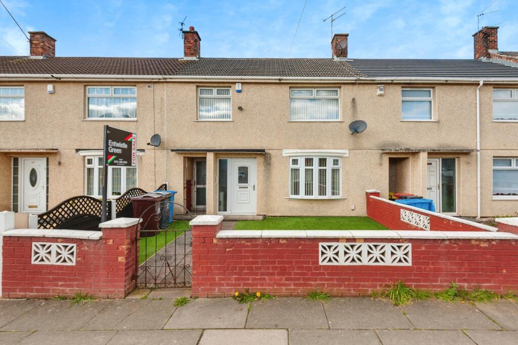
Whitefield Drive, Liverpool, Merseyside, L32
By Entwistle Green
£ 140,000
Reviews
3 out of 5 stars
Entwistle Green says ..
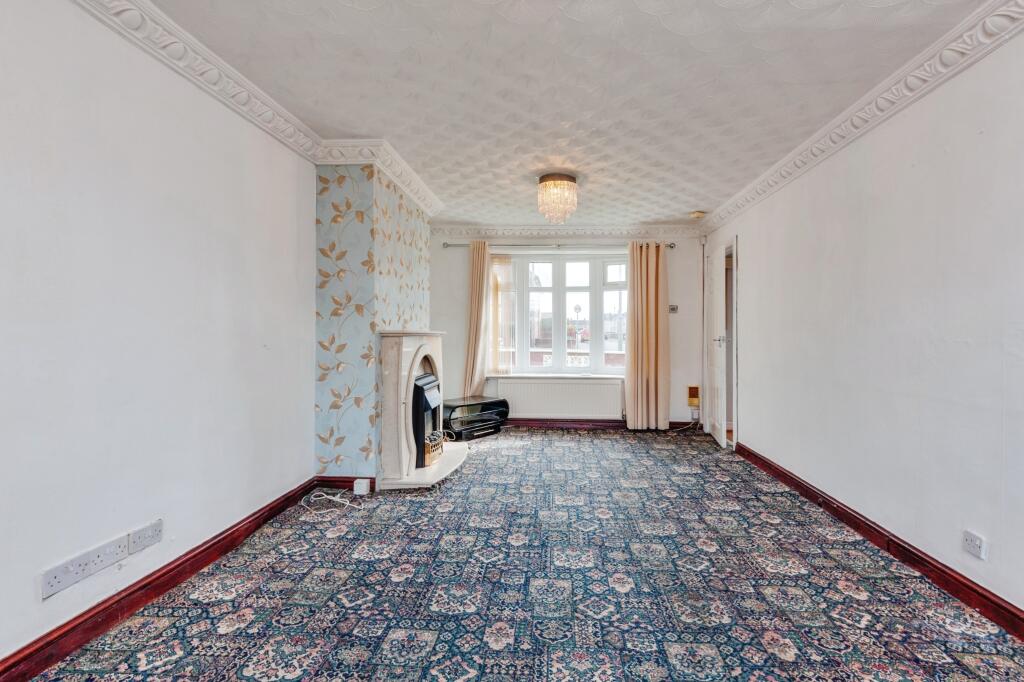
Entwistle Green are delighted to introduce for sale this delightful, three bedroom mid terrace family home. Situated in the popular area of Kirkby, close to local shops, schools, transport links including a Kirkby train station and amenities. The property briefly comprises of entrance hall, loung...
Property Oracle says ..
The property is a 3-bedroom terraced house located on Whitefield Drive in Liverpool, Merseyside.
It has a list price of £140,000, and a plot size of 917.09 sqft. The property is within easy reach of several primary schools, with Westvale Primary School being the closest at just 0.22km away. Transport links are also good, with Kirkby (Merseyside) train station only 0.33km from the property.
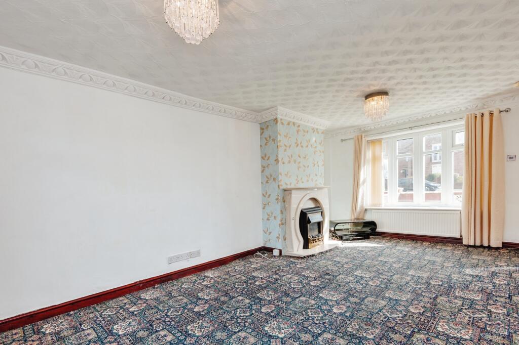
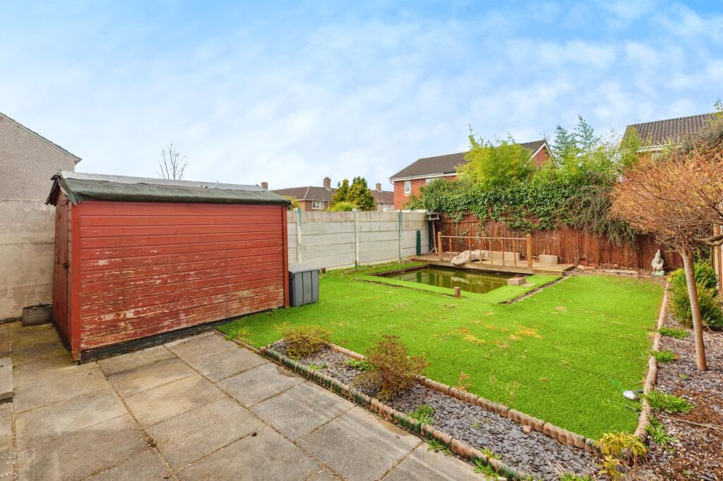
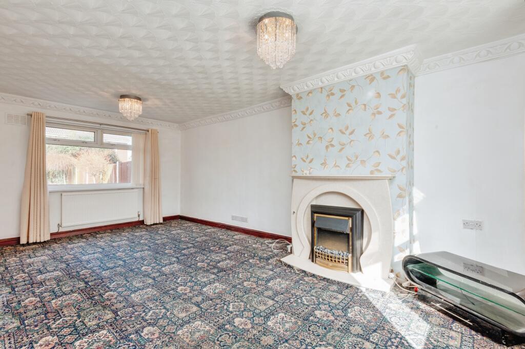
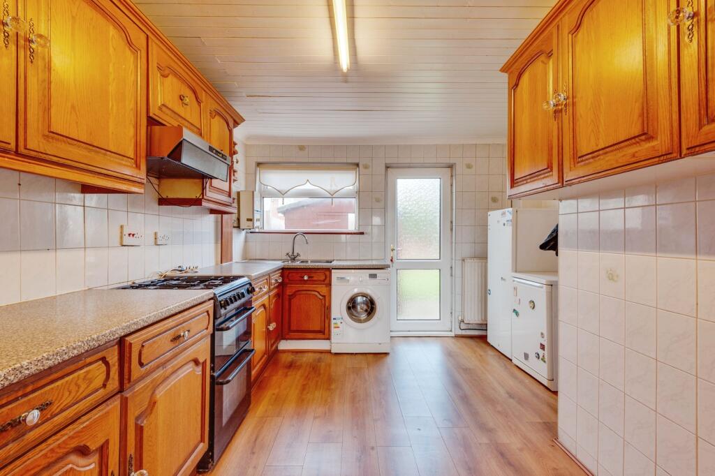
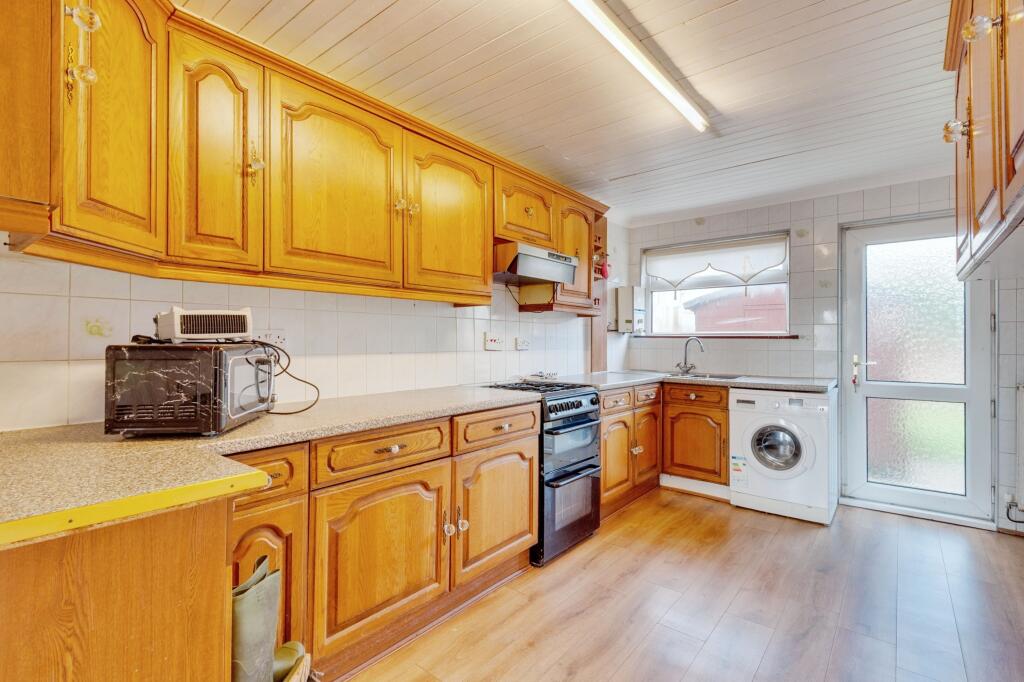
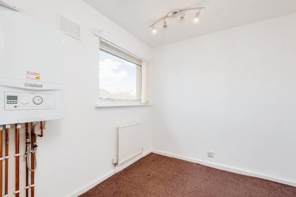
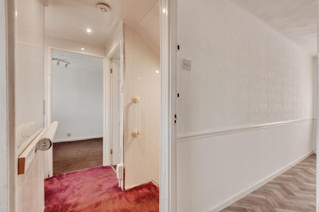
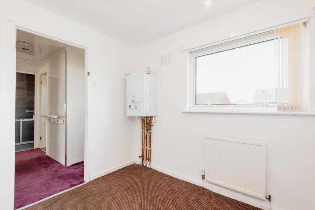
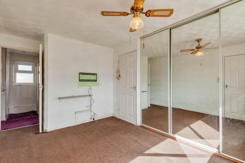
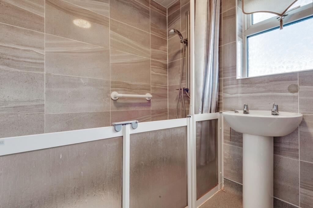
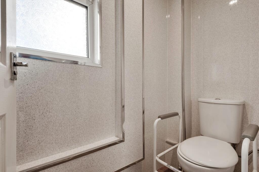
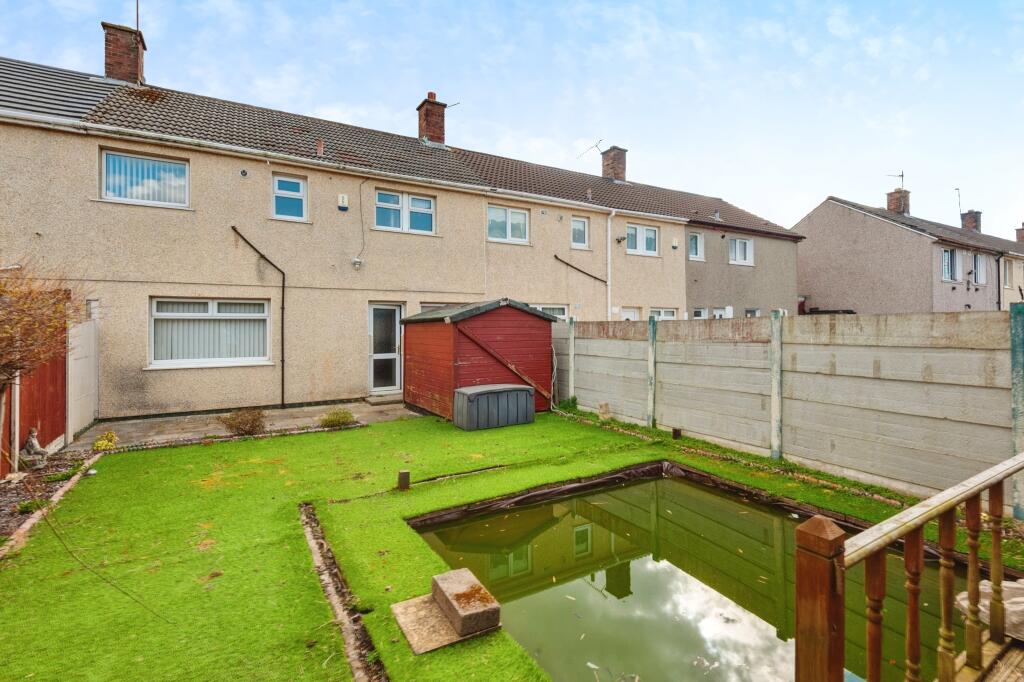
The property appears to be in generally good condition, although some updating may be desirable to enhance its appeal. The interior decor is dated, particularly the carpets and wallpaper, suggesting a potential need for some cosmetic improvements. The kitchen and bathroom are functional but could benefit from modernisation. The presence of a garden is a positive feature, though its size is relatively modest.
Considering the average house price in the area is £153,393 and the average price per sqft is £252, the list price of £140,000 for this 985.65 sqft property seems reasonable, potentially even slightly below average. However, the condition of the property and the need for potential modernisation should be factored into any valuation. Nearby comparable properties on Whitefield Drive have sold for between £80,000 and £139,950, providing further context to the property’s pricing.
Therefore, we give this property 6 / 10. *Disclaimer: This is our option and does constitute a recommendation or financial advice. Do your own research. *
- Price
- 7
- Condition
- 7
- Location
- 7
- Land
- 6
- Bedrooms
- 3
- Bathrooms
- 1
- Sqft (est)
- 985.65
- Lot (est)
- 917.09
The heatmap indicates the level of crime in the area. The color of the heatmap indicates the crime severity and recency.
Metrics Year-on-Year
- Average area value
- 163,913.00 £Decreased by 5.84 %
- Est sale value
- 162,632.25 £Unchanged by 0.00 %
- Average area rental value
- 899.00 £/moIncreased by 13.37 %
- Est letting value
- 0.00 £/mo
- Est rental Yield
- 6.58 %Increased by 20.29 %
- Crime Rate
- 25.00 %Unchanged by 0.00 %
Agent Activity
Entwistle Green created the listing.
Nearby Schools
| Name | Type | Ofsted | Distance |
|---|---|---|---|
| Eden Sscc | Children's Centre | 0.22 KM | |
| Westvale Primary School | Community School | Good | 0.22 KM |
| St Michael And All Angels Catholic Primary School | Voluntary Aided School | Outstanding | 0.59 KM |
| Melling Primary School | Community School | Good | 0.77 KM |
| Millbrook Community Primary School | Community School | Good | 1.07 KM |
Images


Nearby Streets
| Name | Average Price | Average Sqft | Distance |
|---|---|---|---|
| Lognor Road | £ 140,000 | 0 | 0.00 KM |
| Beech Close | £ 215,000 | 0 | 0.00 KM |
| Mount Road | £ 144,995 | 0 | 0.00 KM |
| Hazel Avenue | £ 0 | 0 | 0.00 KM |
| Poplar Drive | £ 205,000 | 0 | 0.00 KM |
Nearby Transport
| Name | NLC | TLC | Distance |
|---|---|---|---|
| Kirkby (Merseyside) | 2124 | KIR | 0.33 KM |
| Maghull | 2155 | MAG | 3.80 KM |
| Fazakerley | 2126 | FAZ | 3.89 KM |
| Maghull North | 6576 | MNS | 4.06 KM |
| Old Roan | 2258 | ORN | 5.12 KM |
Nearby Listings
| Address | Price | Type | Score | Distance |
|---|---|---|---|---|
| Whitefield Drive, Liverpool, Merseyside, L32 | £ 140,000 | BUY | 6 / 10 | 0.00 KM |
| Acton Road, Kirkby | £ 135,000 | BUY | 6 / 10 | 0.17 KM |
| Lingtree Road, Liverpool, Merseyside, L32 | £ 55,000 | BUY | 5 / 10 | 0.20 KM |
| Lingtree Road, Liverpool | £ 120,000 | BUY | 5 / 10 | 0.20 KM |
| Mollington Road, Westvale | £ 125,000 | BUY | 6 / 10 | 0.24 KM |
Nearby Properties
| Address | Price | Distance |
|---|---|---|
| 225 Whitefield Drive | £ 110,000 | 0.00 KM |
| 215 Whitefield Drive | £ 100,000 | 0.00 KM |
| 195 Whitefield Drive | £ 139,950 | 0.00 KM |
| 197 Whitefield Drive | £ 80,000 | 0.00 KM |
| 223 Whitefield Drive | £ 92,000 | 0.00 KM |