SB
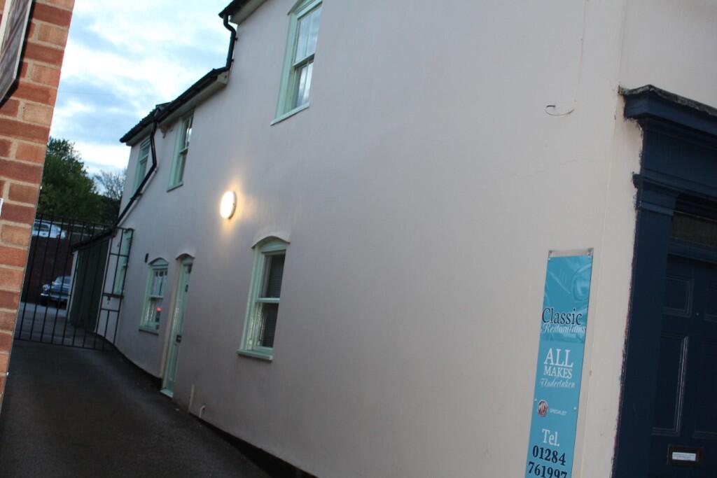
Out Westgate, Bury St. Edmunds, Suffolk, IP33
By SB Surveyors
£ 825
SB Surveyors says ..
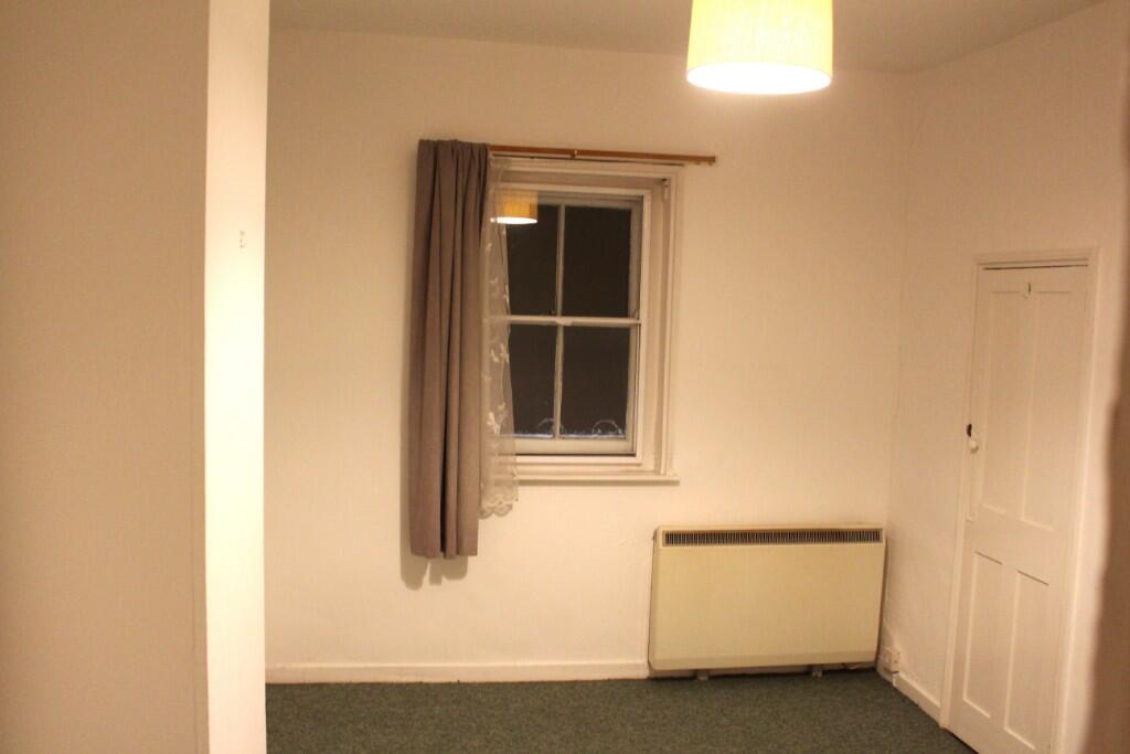
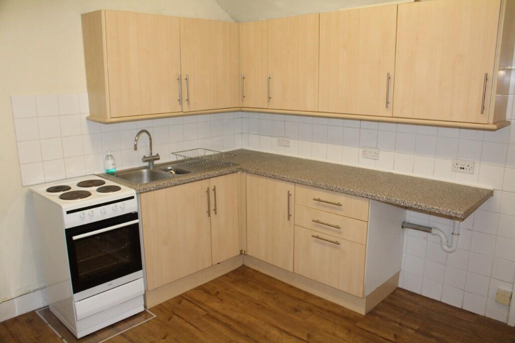
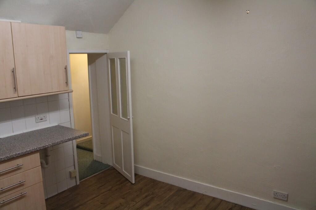
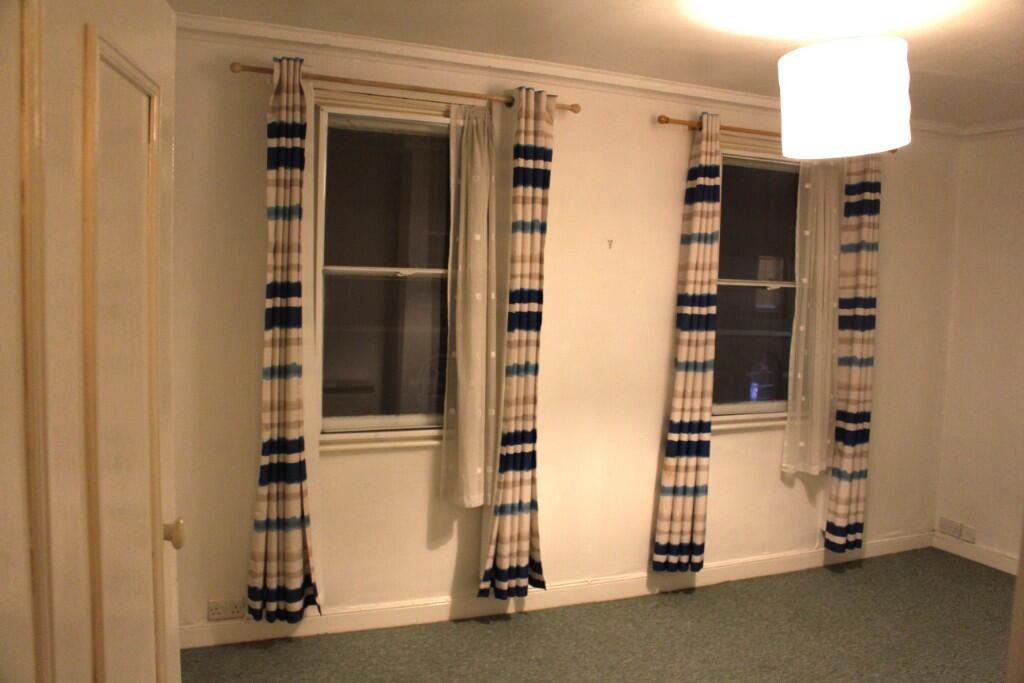
Light and bright first floor flat with large kitchen and separate toilet and bathroom close to the town centre. Character and spacious accommodation.
- Bedrooms
- 1
- Bathrooms
- 0
The heatmap indicates the level of crime in the area. The color of the heatmap indicates the crime severity and recency.
Metrics Year-on-Year
- Average area value
- 222,854.00 £Decreased by 15.77 %
- Average area rental value
- 1,201.00 £/moIncreased by 7.91 %
- Est rental Yield
- 6.47 %Increased by 28.12 %
- Crime Rate
- 7.00 %Unchanged by 0.00 %
from 264,570.00 £
from 1,113.00 £/mo
from 5.05 %
from 7.00 %
Agent Activity
SB Surveyors created the listing.
Nearby Schools
| Name | Type | Ofsted | Distance |
|---|---|---|---|
| St Edmund'S Catholic Primary School | Voluntary Aided School | Good | 0.29 KM |
| Guildhall Feoffment Community Primary School | Community School | Good | 0.63 KM |
| Bury Library Children'S Centre | Children's Centre | 0.80 KM | |
| Westgate Community Primary School And Nursery | Community School | Good | 0.85 KM |
| Learning Support, Western Area Education Office | Miscellaneous | 1.25 KM |
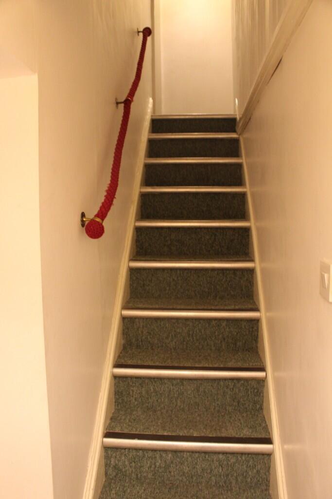
Images

Nearby Streets
| Name | Average Price | Average Sqft | Distance |
|---|---|---|---|
| Plumptons Court | £ 0 | 0 | 0.00 KM |
| Cullum Road | £ 0 | 0 | 0.00 KM |
| Buttermarket | £ 0 | 0 | 0.00 KM |
| Maid Marion Court | £ 0 | 0 | 0.00 KM |
| Market Square | £ 0 | 0 | 0.00 KM |
Nearby Transport
| Name | NLC | TLC | Distance |
|---|---|---|---|
| Bury St Edmunds | 7008 | BSE | 1.52 KM |
Nearby Listings
| Address | Price | Type | Score | Distance |
|---|---|---|---|---|
| Out Westgate, Bury St Edmunds | £ 650 | RENT | Unknown | 0.00 KM |
| Corsbie Close, Bury St Edmunds | £ 1,400 | RENT | Unknown | 0.14 KM |
| Eyre Close, Bury St Edmunds | £ 1,200 | RENT | Unknown | 0.15 KM |
| St. Edmundsbury Mews, Bury St. Edmunds, Suffolk, IP33 | £ 1,550 | RENT | Unknown | 0.19 KM |
| St. Edmundsbury Mews, Bury St. Edmunds, Suffolk, IP33 | £ 1,550 | RENT | Unknown | 0.19 KM |
Nearby Properties
| Address | Price | Distance |
|---|---|---|
| 7 Out Westgate | £ 115,500 | 0.00 KM |
| 8 Out Westgate | £ 120,000 | 0.00 KM |
| 23 Out Westgate | £ 325,000 | 0.00 KM |
| 25 Out Westgate | £ 176,500 | 0.00 KM |
| 11 Out Westgate | £ 56,000 | 0.00 KM |