FI
Pershore Avenue
By Fishers
£ 950
Fishers says ..
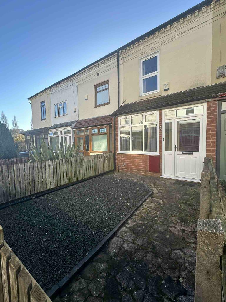
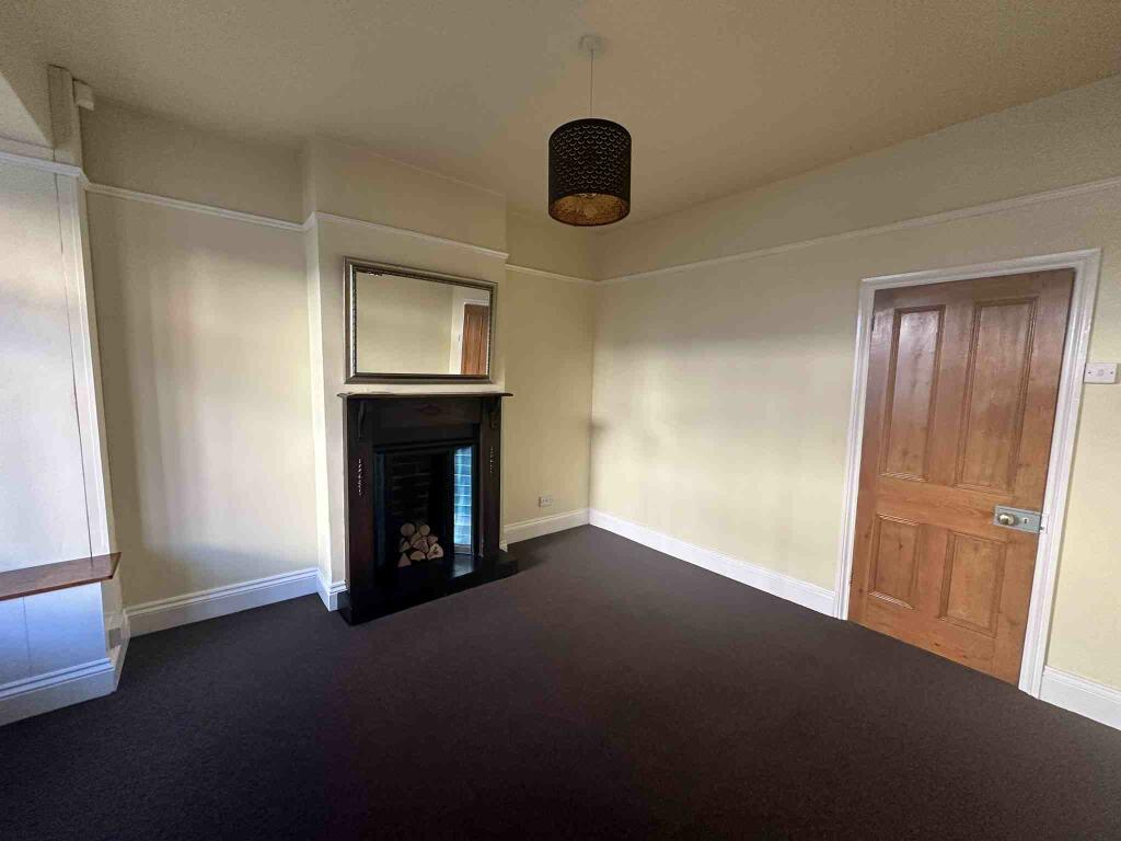
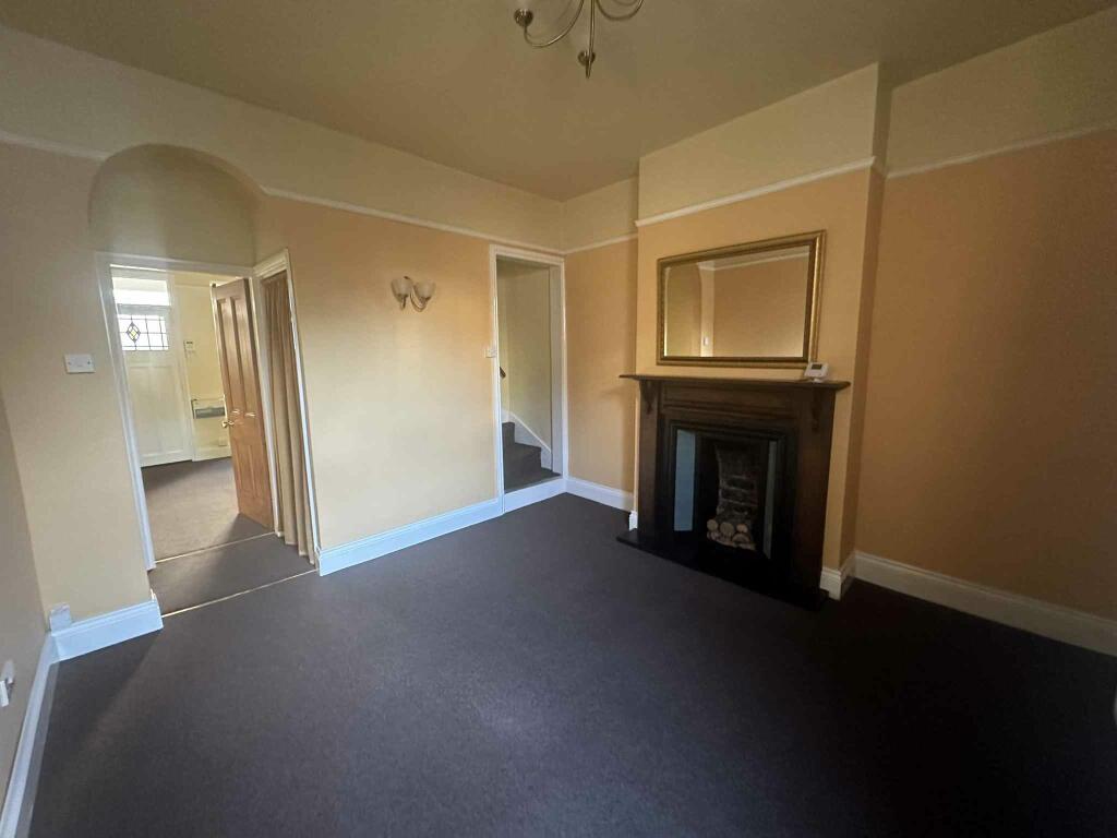
Well presented two bedroom unfurnished house situated in popular Selly Park.
- Bedrooms
- 2
- Bathrooms
- 0
The heatmap indicates the level of crime in the area. The color of the heatmap indicates the crime severity and recency.
Metrics Year-on-Year
- Average area value
- 234,983.00 £Decreased by 47.41 %
- Average area rental value
- 1,345.00 £/moDecreased by 7.62 %
- Est rental Yield
- 6.87 %Increased by 75.70 %
- Crime Rate
- 16.00 %Unchanged by 0.00 %
from 446,796.00 £
from 1,456.00 £/mo
from 3.91 %
from 16.00 %
Agent Activity
Fishers created the listing.
Nearby Schools
| Name | Type | Ofsted | Distance |
|---|---|---|---|
| St Edward'S Catholic Primary School | Voluntary Aided School | Good | 0.73 KM |
| Moor Green Primary Academy | Academy Sponsor Led | Outstanding | 0.83 KM |
| Selly Park Girls' School | Community School | Outstanding | 0.99 KM |
| Elmhurst Ballet School | Other Independent School | 1.19 KM | |
| King Edward'S School | Other Independent School | 1.28 KM |
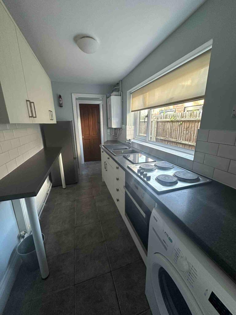
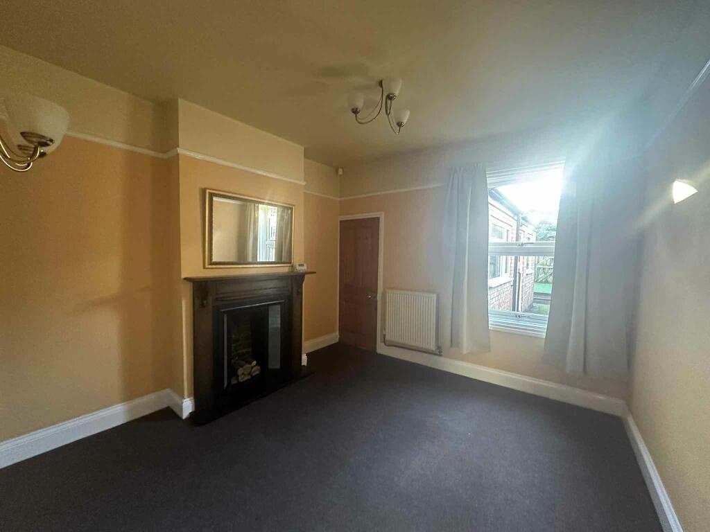
Images


Nearby Streets
| Name | Average Price | Average Sqft | Distance |
|---|---|---|---|
| Priory Avenue | £ 200,000 | 0 | 0.00 KM |
| West Drive | £ 244,975 | 0 | 0.00 KM |
| South Drive | £ 302,500 | 0 | 0.00 KM |
| Pit Leasow Close | £ 0 | 0 | 0.00 KM |
| Dad's Lane | £ 425,000 | 0 | 0.00 KM |
Nearby Transport
| Name | NLC | TLC | Distance |
|---|---|---|---|
| Bournville | 1112 | BRV | 2.36 KM |
| Selly Oak | 1105 | SLY | 2.44 KM |
| University (Birmingham) | 4504 | UNI | 2.64 KM |
| Five Ways | 4503 | FWY | 3.00 KM |
| Kings Norton | 1109 | KNN | 3.90 KM |
Nearby Listings
| Address | Price | Type | Score | Distance |
|---|---|---|---|---|
| Pershore Road, Selly Park, Birmingham | £ 850 | RENT | Unknown | 0.01 KM |
| Brookvale Mews, Selly Oak, Birmingham, B29 7HP | £ 1,996 | RENT | Unknown | 0.04 KM |
| Pershore Road, Selly Park, Birmingham, B29 | £ 430 | RENT | Unknown | 0.10 KM |
| 664 Pershore Road, Edgbaston, Birmingham | £ 770 | RENT | Unknown | 0.11 KM |
| Pershore Road (S), Selly Park, Birmingham, West Midlands, B29 | £ 425 | RENT | Unknown | 0.11 KM |
Nearby Properties
| Address | Price | Distance |
|---|---|---|
| 12 Pershore Avenue | £ 160,000 | 0.00 KM |
| 22 Pershore Avenue | £ 105,000 | 0.00 KM |
| 11 Pershore Avenue | £ 100,000 | 0.00 KM |
| 16 Pershore Avenue | £ 51,000 | 0.00 KM |
| 14 Pershore Avenue | £ 125,000 | 0.00 KM |