10
Stanfield Road, Southend-on-Sea
By 100 Key Properties
£ 1,650
100 Key Properties says ..
3 Bedroom House
- Bedrooms
- 3
- Bathrooms
- 1
The heatmap indicates the level of crime in the area. The color of the heatmap indicates the crime severity and recency.
Metrics Year-on-Year
- Average area value
- 273,072.00 £Decreased by 1.50 %
- Average area rental value
- 1,340.00 £/moIncreased by 9.39 %
- Est rental Yield
- 5.89 %Increased by 11.13 %
- Crime Rate
- 4.00 %Unchanged by 0.00 %
from 277,242.00 £
from 1,225.00 £/mo
from 5.30 %
from 4.00 %
Agent Activity
100 Key Properties created the listing.
Nearby Schools
| Name | Type | Ofsted | Distance |
|---|---|---|---|
| Southend Ymca Community School | Free Schools Alternative Provision | Good | 0.74 KM |
| Bournemouth Park Academy | Academy Converter | Good | 0.78 KM |
| South Essex College Of Further And Higher Education | Further Education | 0.82 KM | |
| Victory Park Academy | Academy Alternative Provision Sponsor Led | 0.99 KM | |
| Porters Grange Primary School And Nursery | Academy Sponsor Led | Good | 1.02 KM |
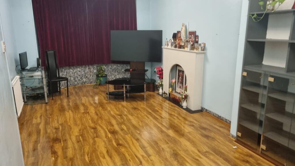
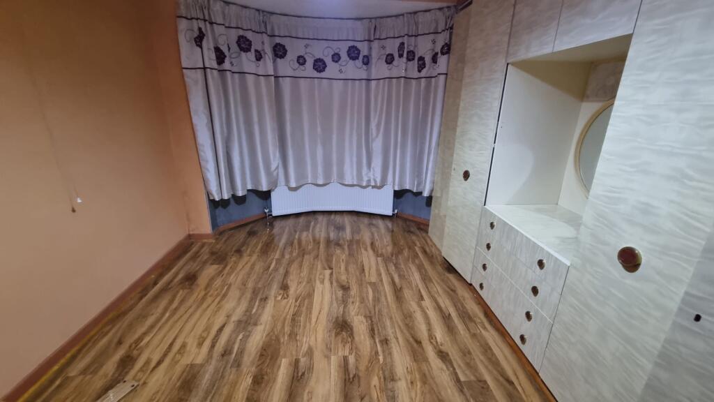
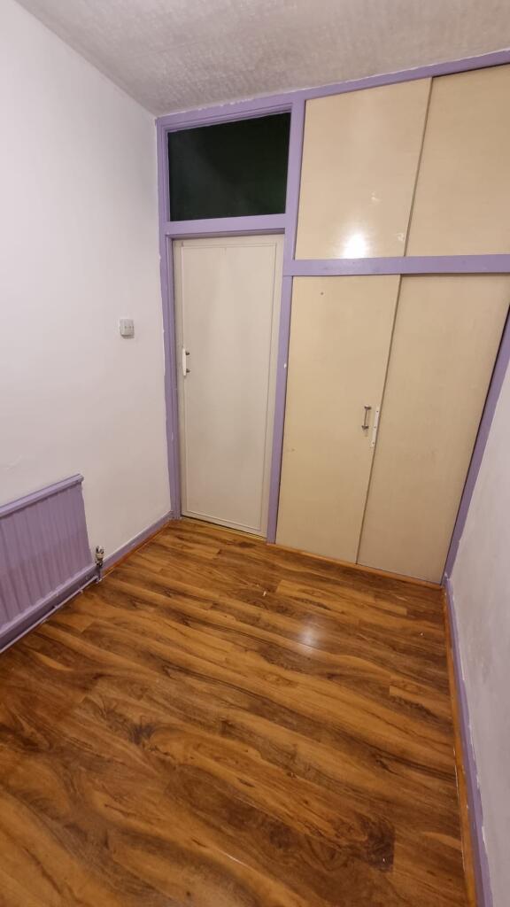
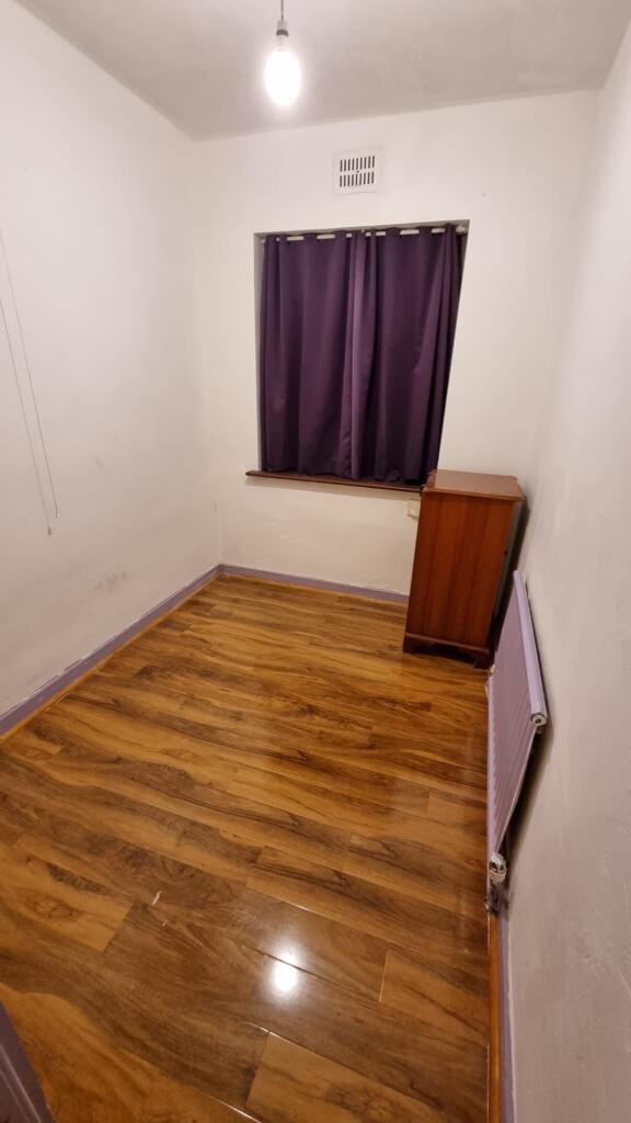
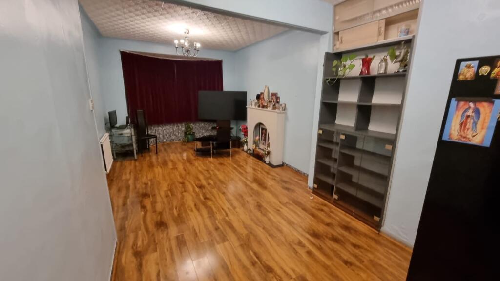
Images
Nearby Streets
| Name | Average Price | Average Sqft | Distance |
|---|---|---|---|
| Grainger Close | £ 0 | 0 | 0.00 KM |
| Greyhound Way | £ 190,000 | 0 | 0.00 KM |
| Kipling Mews | £ 0 | 0 | 0.00 KM |
| Sycamore Grove | £ 0 | 0 | 0.00 KM |
| Stuart Close | £ 0 | 0 | 0.00 KM |
Nearby Transport
| Name | NLC | TLC | Distance |
|---|---|---|---|
| Southend Victoria | 7420 | SOV | 0.57 KM |
| Prittlewell | 7419 | PRL | 0.68 KM |
| Southend Central | 7456 | SOC | 1.01 KM |
| Southend East | 7457 | SOE | 2.08 KM |
| Westcliff | 7476 | WCF | 2.70 KM |
Nearby Listings
| Address | Price | Type | Score | Distance |
|---|---|---|---|---|
| Stanfield Road, Southend-on-Sea | £ 1,650 | RENT | Unknown | 0.00 KM |
| Stanfield Road, Southend-On-Sea, SS2 | £ 1,550 | RENT | Unknown | 0.06 KM |
| Milton Street, Southend-On-Sea | £ 1,500 | RENT | Unknown | 0.24 KM |
| Maldon Road, Southend-on-Sea, SS2 | £ 1,650 | RENT | Unknown | 0.25 KM |
| Maldon Road Southend on Sea | £ 1,150 | RENT | Unknown | 0.25 KM |
Nearby Properties
| Address | Price | Distance |
|---|---|---|
| 24 Stanfield Road | £ 140,000 | 0.01 KM |
| 12a Stanfield Road | £ 202,000 | 0.01 KM |
| 16 Stanfield Road | £ 173,000 | 0.01 KM |
| 27 Stanfield Road | £ 183,000 | 0.01 KM |
| 9 Stanfield Road | £ 207,000 | 0.01 KM |