Mark Ewin says ..
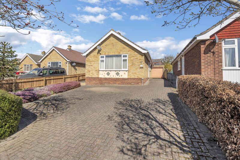
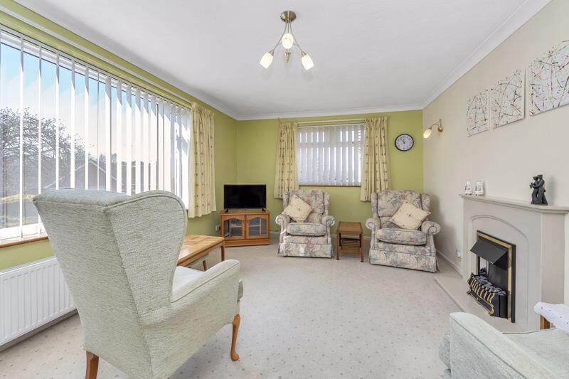
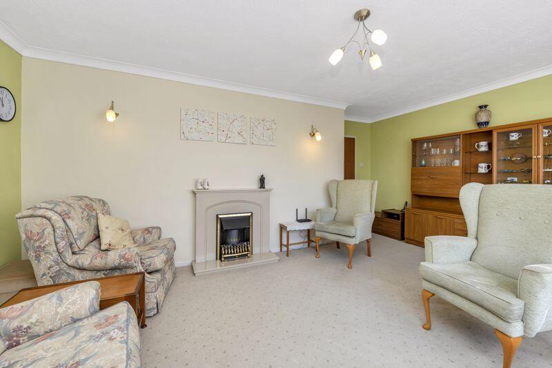
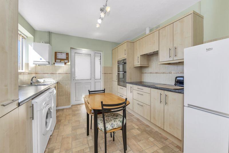
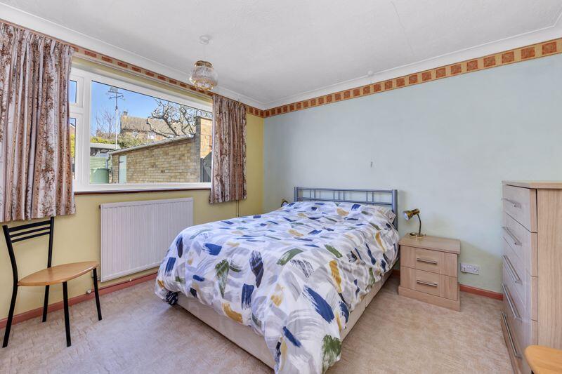
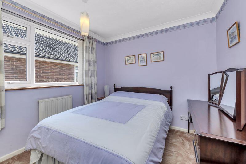
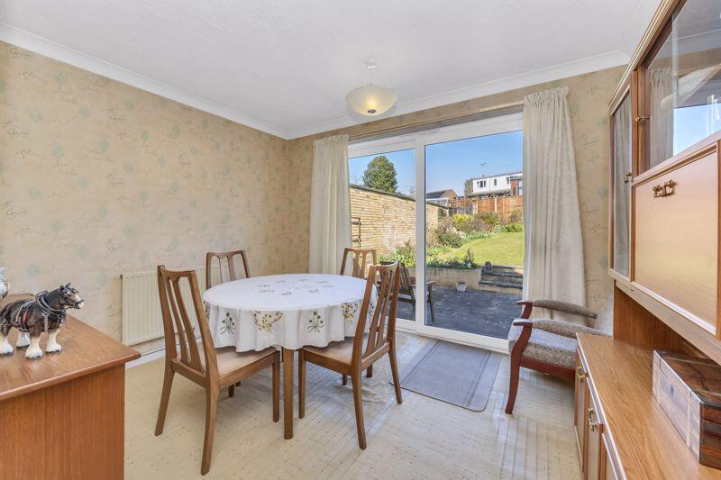
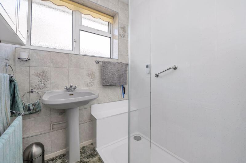
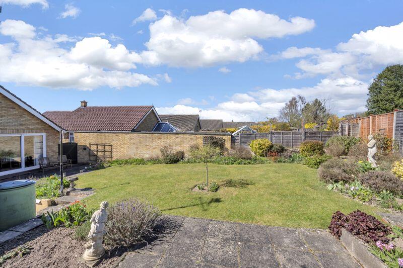
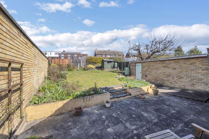
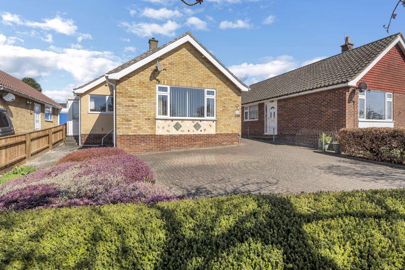
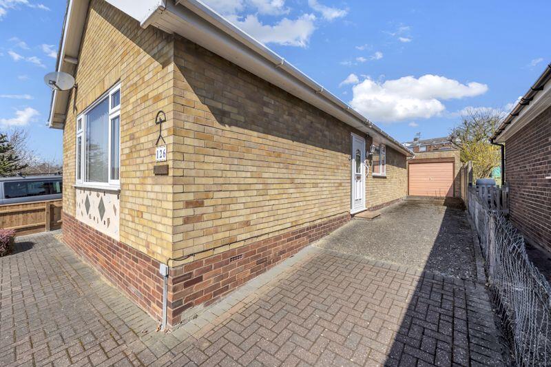
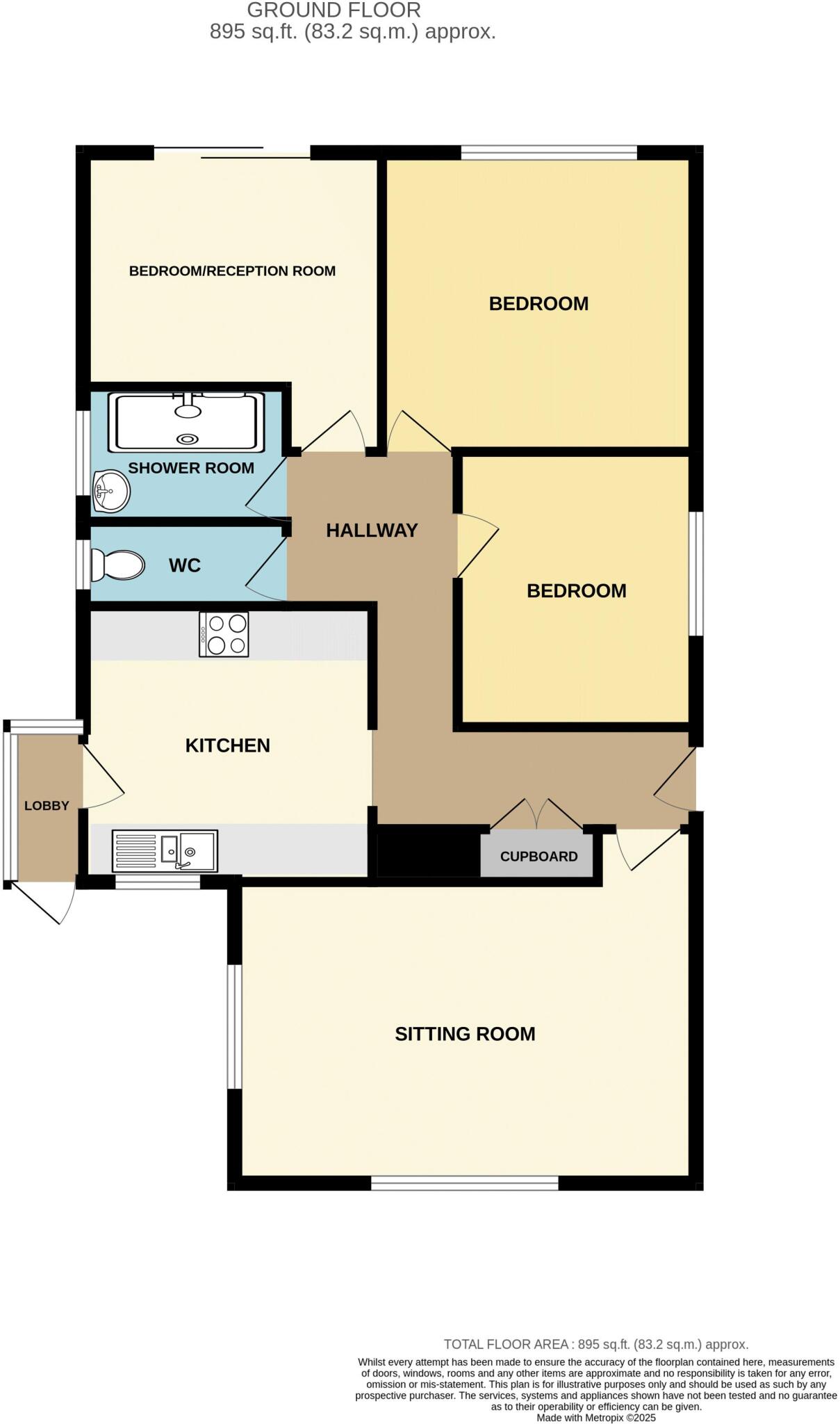
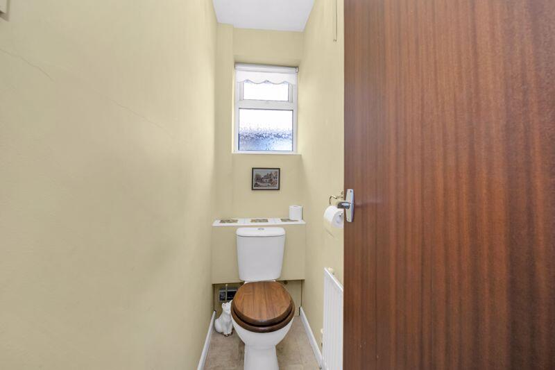
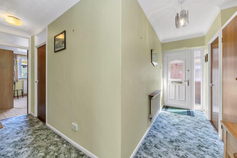
A three-bedroom, detached bungalow, located within the sought-after west side of Bury St Edmunds. The property offers an entrance hall, sitting room, fitted kitchen, three bedrooms, one of which is currently being used as a dining room and a shower room and separate WC complete the accommodation ...
Property Oracle says ..
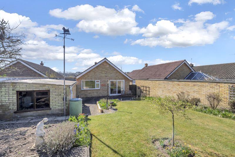
The property is a detached bungalow located on Abbot Road in Bury St Edmunds, West Suffolk. It has three bedrooms, one bathroom, and covers 1,050 square feet on an 895 square foot plot. The list price is £350,000. The property is situated in a convenient location, with several schools within a reasonable distance. Horringer Court Middle School, Westley Middle School, and Sexton’s Manor Community Primary School are all rated ‘Good’ by Ofsted and are less than a kilometer away. Bury St Edmunds train station is approximately 3.21 km away, providing access to other areas. Based on the images, the property appears to be in generally good condition, though some updating may be desired to modernize the interior decor and kitchen. The property benefits from a garden, offering some outdoor space. Considering the average house price in the area is £258,798, and the average price per square foot is £296, the list price of £350,000 for this 1,050 sqft property seems slightly above average. However, the inclusion of a garden and its location near well-regarded schools could justify the higher price point compared to similar properties in the area. Nearby comparable properties support this assessment, with prices ranging from £174,000 to £485,000, reflecting the variability in property size, condition, and features.
Therefore, we give this property 7 / 10. *Disclaimer: This is our option and does constitute a recommendation or financial advice. Do your own research. *
- Price
- 7
- Condition
- 7
- Location
- 8
- Land
- 6
- Bedrooms
- 3
- Bathrooms
- 1
- Sqft (est)
- 1,050.00
- Lot (est)
- 895.00
The heatmap indicates the level of crime in the area. The color of the heatmap indicates the crime severity and recency.
Metrics Year-on-Year
- Average area value
- 222,854.00 £Decreased by 15.77 %
- Est sale value
- 302,400.00 £Decreased by 6.19 %
- Average area rental value
- 1,201.00 £/moIncreased by 7.91 %
- Est letting value
- 1,050.00 £/moUnchanged by 0.00 %
- Est rental Yield
- 6.47 %Increased by 28.12 %
- Crime Rate
- 6.00 %Unchanged by 0.00 %
Agent Activity
Mark Ewin created the listing.
Nearby Schools
| Name | Type | Ofsted | Distance |
|---|---|---|---|
| Horringer Court Middle School | Academy Converter | Good | 0.64 KM |
| Westley Middle School | Academy Converter | Good | 0.92 KM |
| Sexton'S Manor Community Primary School | Community School | Good | 1.01 KM |
| Abbeygate Sixth Form College | Free Schools 16 To 19 | 1.57 KM | |
| West Suffolk College | Further Education | Good | 1.69 KM |
Images
Nearby Streets
| Name | Average Price | Average Sqft | Distance |
|---|---|---|---|
| Langton Road | £ 325,000 | 0 | 0.00 KM |
| Gainsborough Road | £ 0 | 0 | 0.00 KM |
| Briarwood Avenue | £ 0 | 0 | 0.00 KM |
| Whitby Road | £ 245,000 | 0 | 0.00 KM |
| Paddock Close | £ 0 | 0 | 0.00 KM |
Nearby Transport
| Name | NLC | TLC | Distance |
|---|---|---|---|
| Bury St Edmunds | 7008 | BSE | 3.21 KM |
Nearby Listings
| Address | Price | Type | Score | Distance |
|---|---|---|---|---|
| Abbot Road, Bury St. Edmunds | £ 325,000 | BUY | 6 / 10 | 0.00 KM |
| Abbot Road, Bury St. Edmunds | £ 350,000 | BUY | 7 / 10 | 0.00 KM |
| Abbot Road, Bury St. Edmunds | £ 350,000 | BUY | 7 / 10 | 0.00 KM |
| Abbot Road, Bury St. Edmunds | £ 325,000 | BUY | 6 / 10 | 0.01 KM |
| Abbot Road, Bury St Edmunds | £ 280,000 | BUY | 7 / 10 | 0.08 KM |
Nearby Properties
| Address | Price | Distance |
|---|---|---|
| 118 Abbot Road | £ 248,000 | 0.01 KM |
| 112 Abbot Road | £ 188,000 | 0.01 KM |
| 115 Abbot Road | £ 174,000 | 0.01 KM |
| 139 Abbot Road | £ 183,000 | 0.01 KM |
| 123 Abbot Road | £ 217,500 | 0.01 KM |