
LI
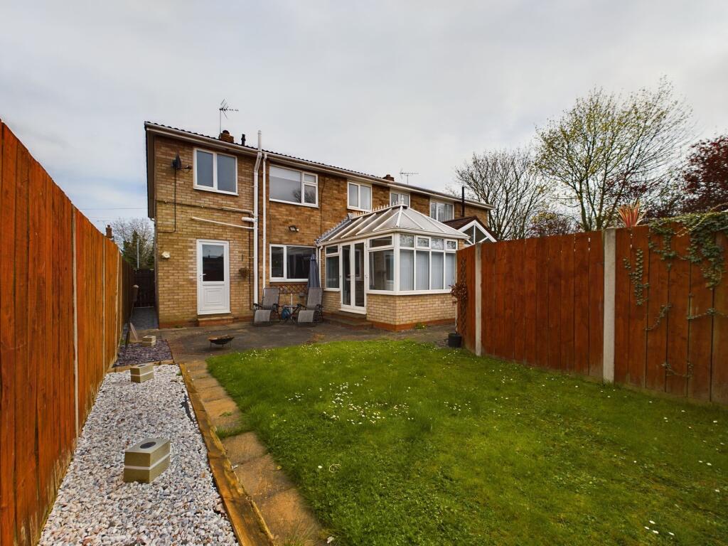
Highfield Road, Beverley, HU17
By Lime HU17 Ltd
£ 1,100
Lime HU17 Ltd says ..
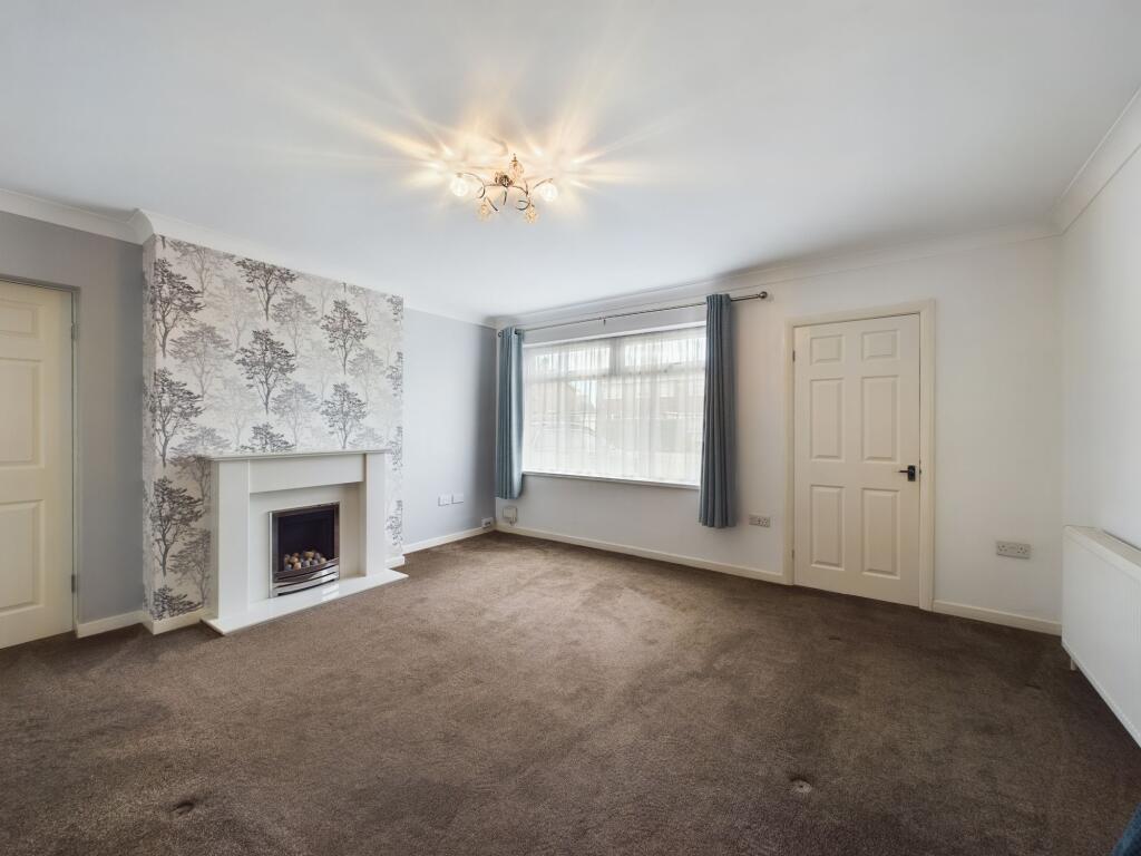
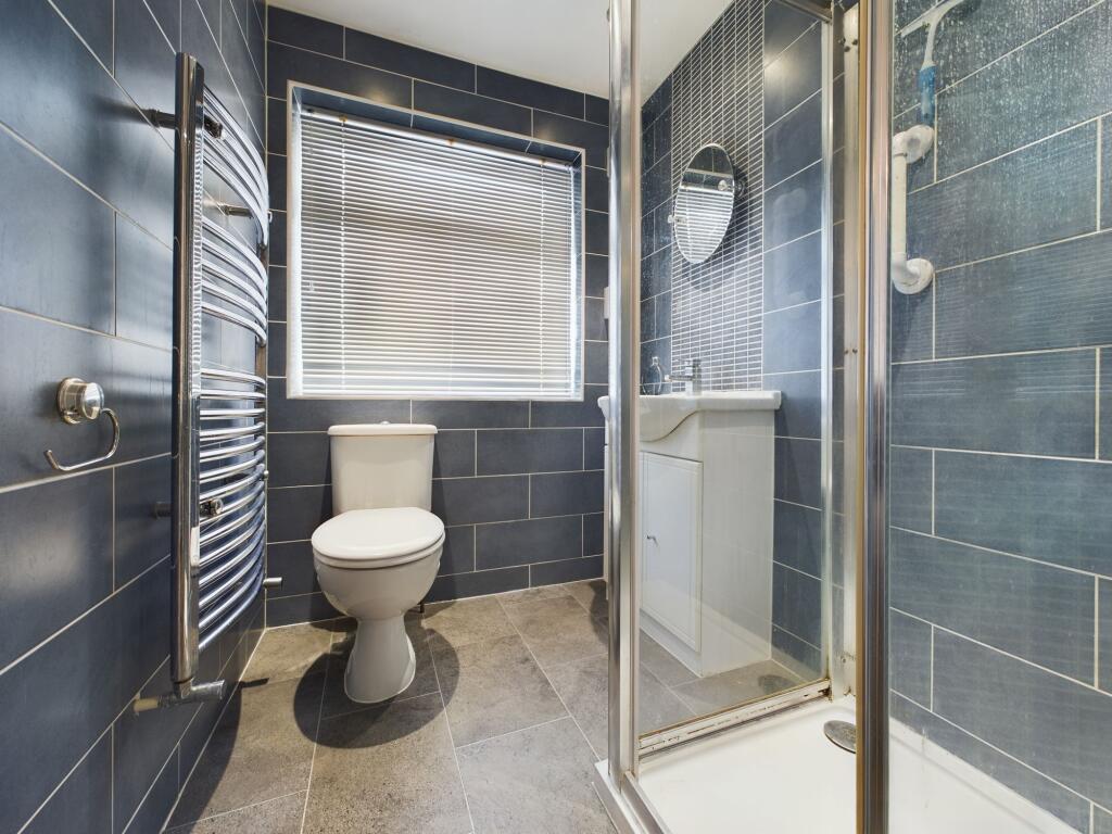
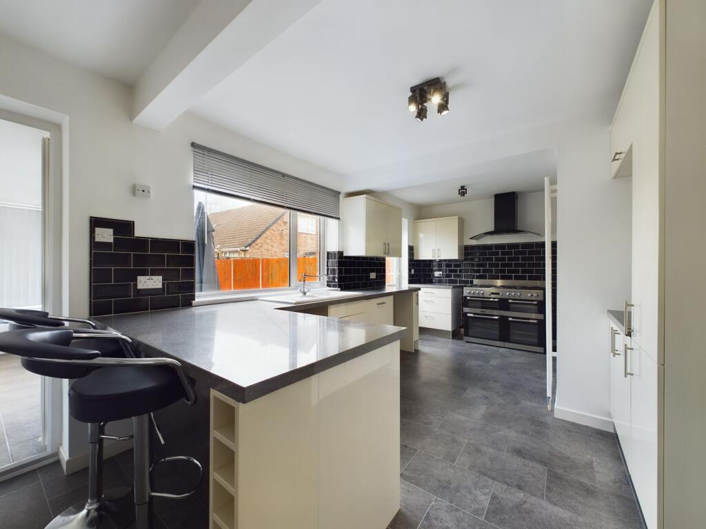
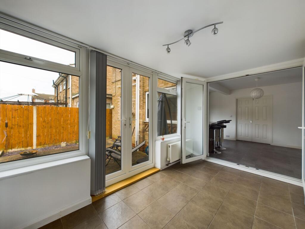
Impressive family home in sort after location
- Bedrooms
- 4
- Bathrooms
- 2
The heatmap indicates the level of crime in the area. The color of the heatmap indicates the crime severity and recency.
Metrics Year-on-Year
- Average area value
- 524,714.00 £Increased by 15.54 %
- Average area rental value
- 1,989.00 £/moIncreased by 4.74 %
- Est rental Yield
- 4.55 %Decreased by 9.36 %
- Crime Rate
- 1.00 %Unchanged by 0.00 %
from 454,148.00 £
from 1,899.00 £/mo
from 5.02 %
from 1.00 %
Agent Activity
Lime HU17 Ltd created the listing.
Nearby Schools
| Name | Type | Ofsted | Distance |
|---|---|---|---|
| Swinemoor Primary School | Community School | Outstanding | 0.31 KM |
| Sure Start Children'S Centre Beverley Rural | Children's Centre | 0.33 KM | |
| Sure Start Children'S Centre Beverley One (Swinemoor) | Children's Centre | 0.33 KM | |
| St John Of Beverley Catholic Primary School - A Catholic Voluntary Academy | Academy Converter | 0.82 KM | |
| Beverley High School | Community School | Good | 1.11 KM |
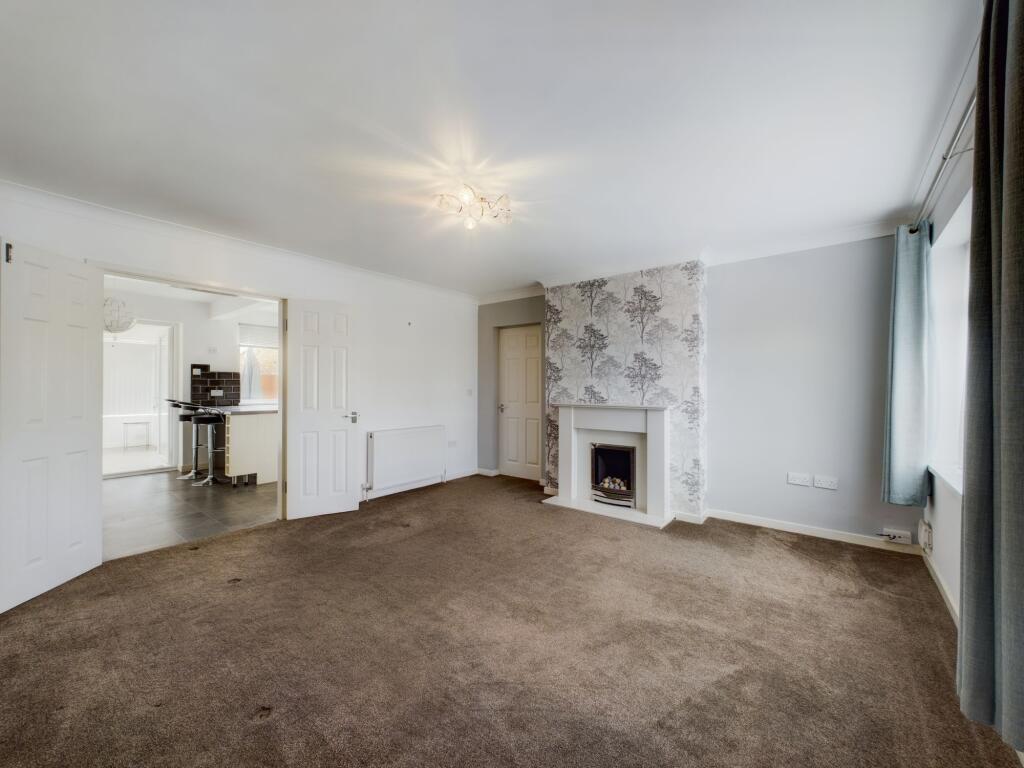
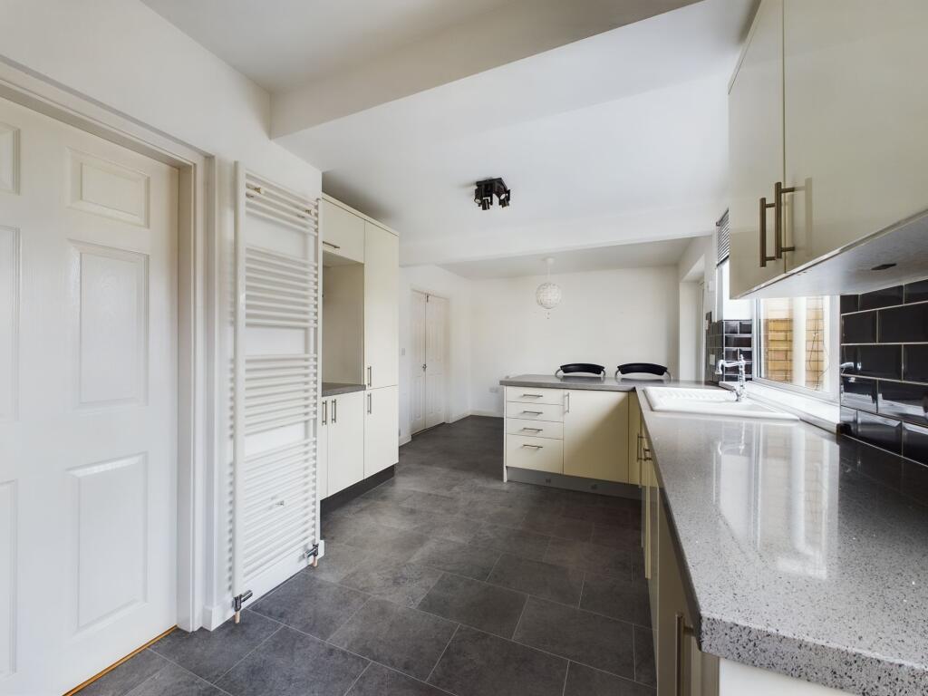
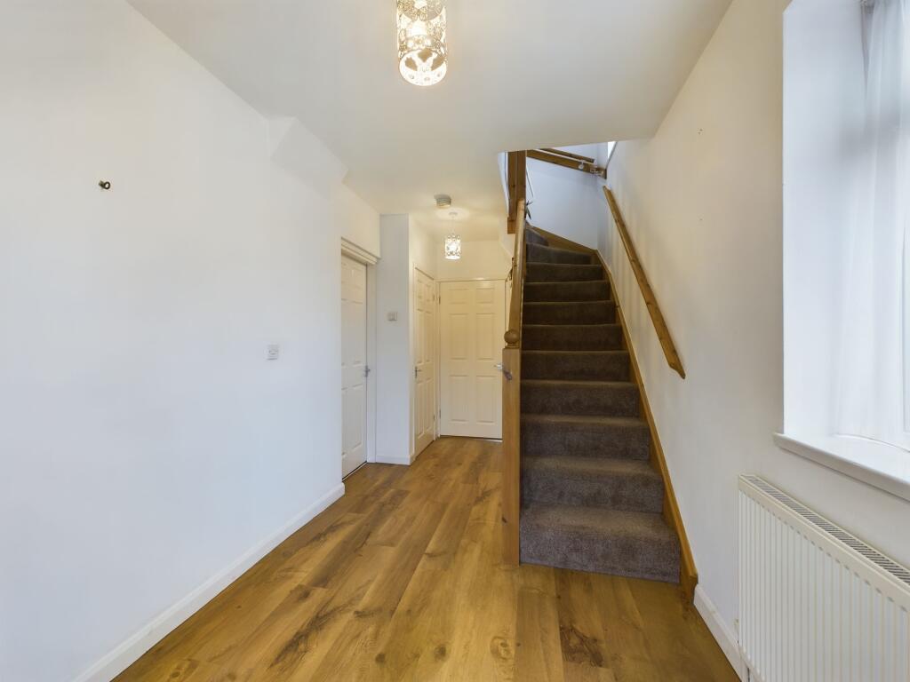
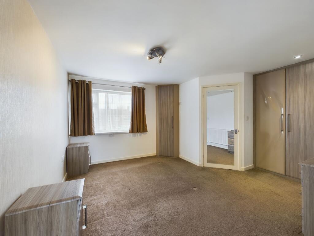
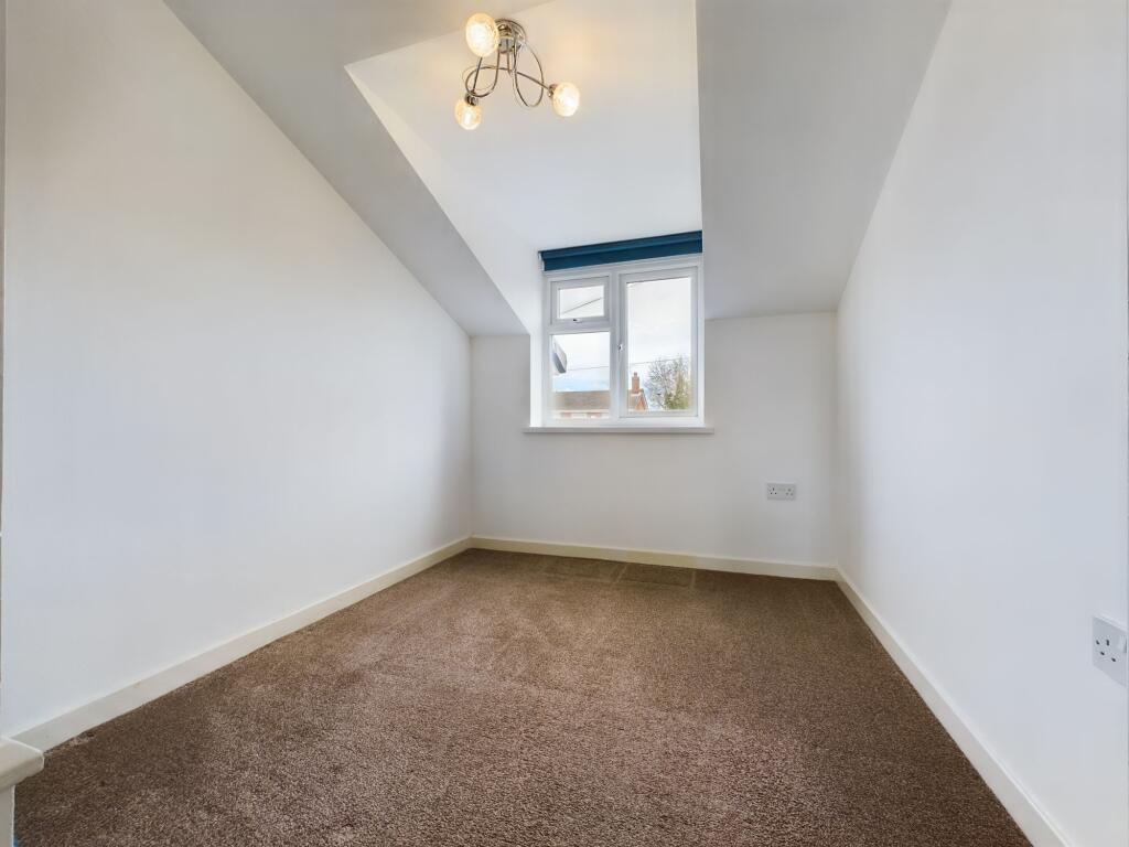
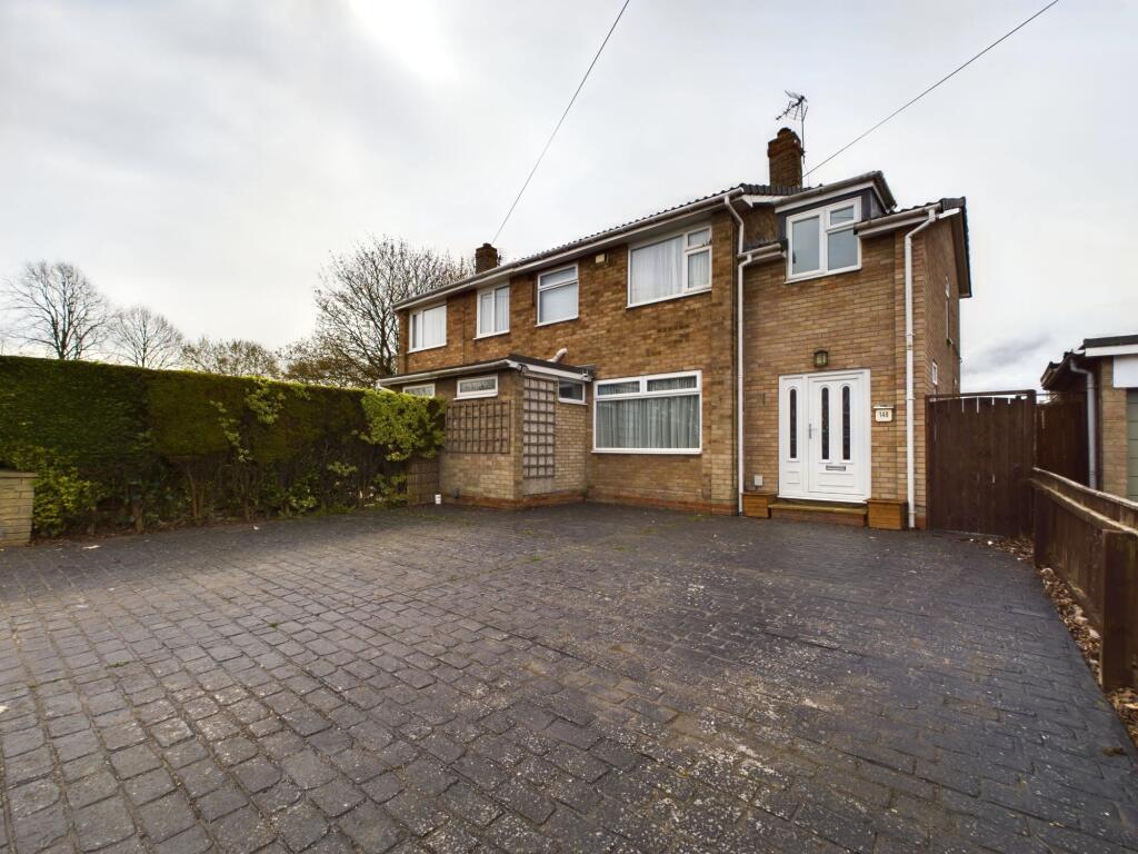
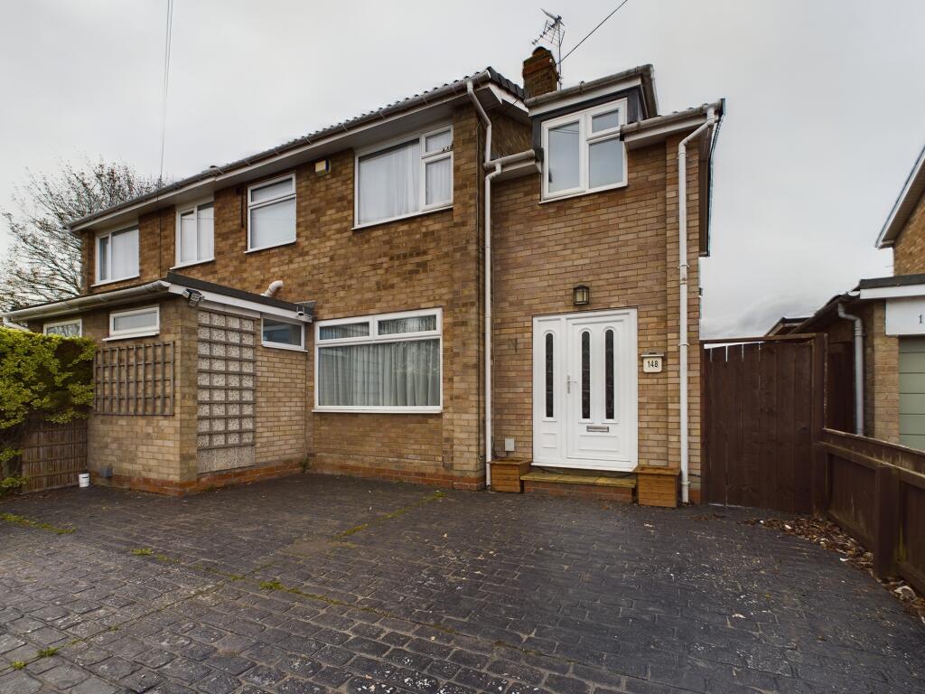
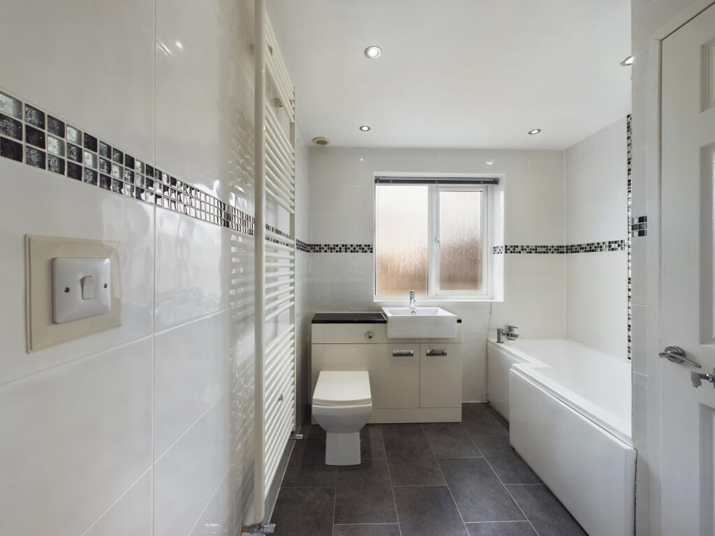
Images


Nearby Streets
| Name | Average Price | Average Sqft | Distance |
|---|---|---|---|
| Poplar Drive | £ 250,000 | 0 | 0.00 KM |
| Brooklands Close | £ 0 | 0 | 0.00 KM |
| Beech Avenue | £ 275,000 | 0 | 0.00 KM |
| Springfield Drive | £ 229,500 | 0 | 0.00 KM |
| Highfield Road | £ 265,000 | 0 | 0.00 KM |
Nearby Transport
| Name | NLC | TLC | Distance |
|---|---|---|---|
| Beverley | 8048 | BEV | 1.07 KM |
| Arram | 8045 | ARR | 3.66 KM |
| Cottingham | 8056 | CGM | 8.00 KM |
Nearby Listings
| Address | Price | Type | Score | Distance |
|---|---|---|---|---|
| Burden Road, Beverley | £ 895 | RENT | Unknown | 0.26 KM |
| Chestnut Avenue, Beverley, East Riding of Yorkshi, HU17 | £ 1,250 | RENT | Unknown | 0.32 KM |
| Norwood, Beverley, East Riding of Yorkshire, UK, HU17 | £ 750 | RENT | Unknown | 0.32 KM |
| Norwood, Beverley, East Riding of Yorkshire, UK, HU17 | £ 750 | RENT | Unknown | 0.32 KM |
| Wray Close, Beverley, East Riding of Yorkshire, UK, HU17 | £ 795 | RENT | Unknown | 0.39 KM |
Nearby Properties
| Address | Price | Distance |
|---|---|---|
| 1 Poplar Drive | £ 159,950 | 0.07 KM |
| 7 Poplar Drive | £ 155,000 | 0.07 KM |
| 12a Poplar Drive | £ 46,000 | 0.07 KM |
| 5 Poplar Drive | £ 150,000 | 0.07 KM |
| 18 Poplar Drive | £ 181,600 | 0.07 KM |