
Malmesbury Road, Shirley, Southampton, SO15
By Charters
£ 325,000
Reviews
2 out of 5 stars
Charters says ..
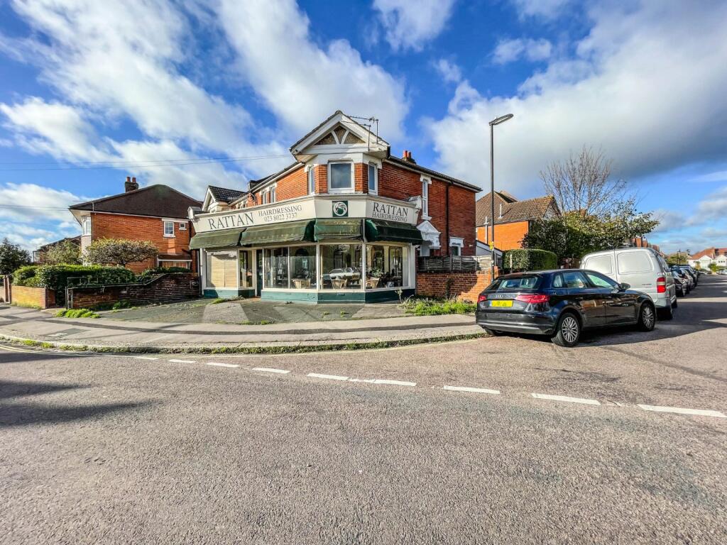
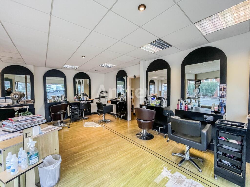
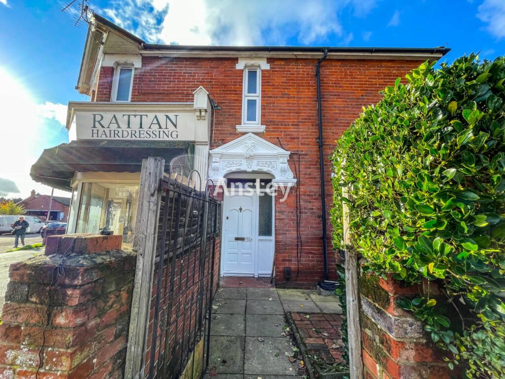
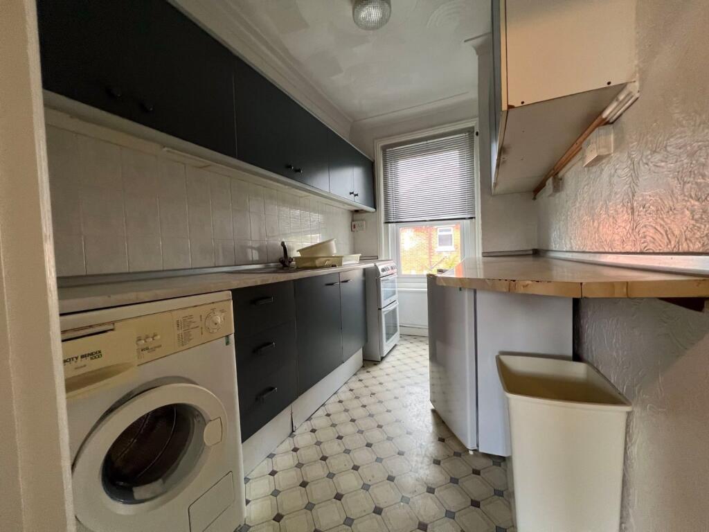
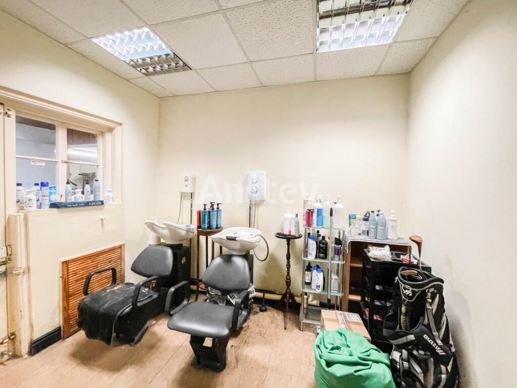
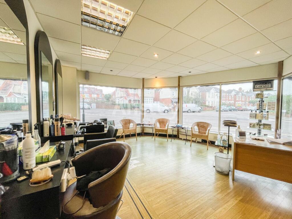
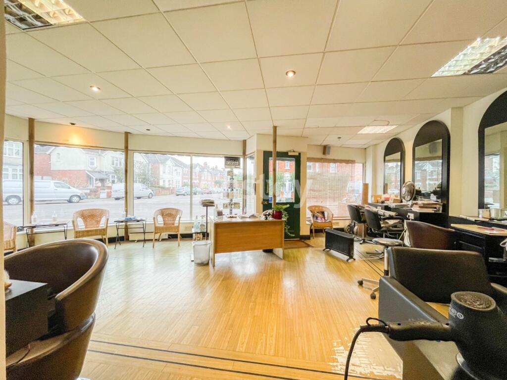
ATTENTION INVESTORS Freehold sale of this semi-detached residential/Commercial property is nestled on a corner plot in the highly sought after area of Shirley and offers a unique investment opportunity which is available for the first time in over 50 years.The property boasts a generous commercia...
Property Oracle says ..
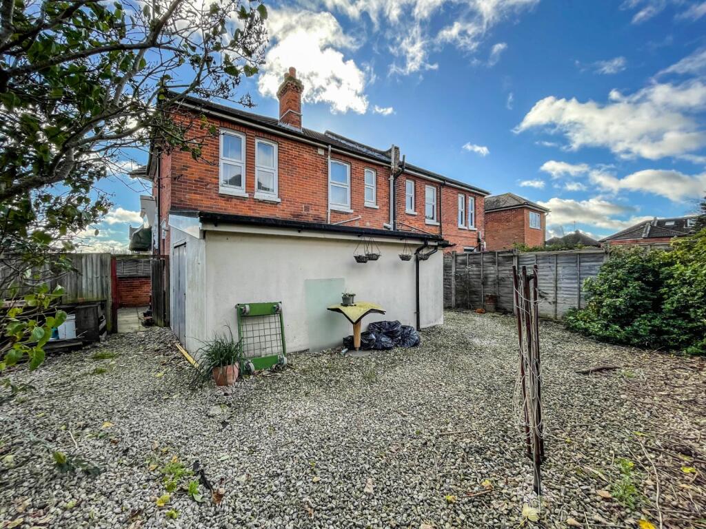
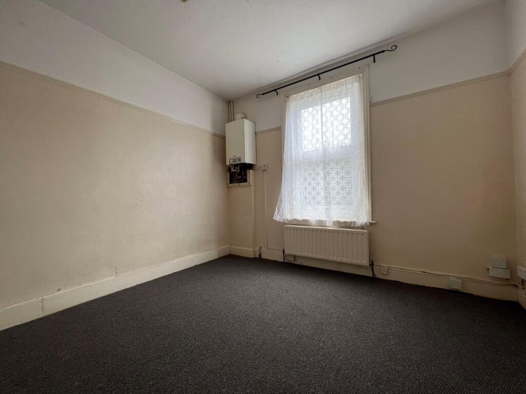
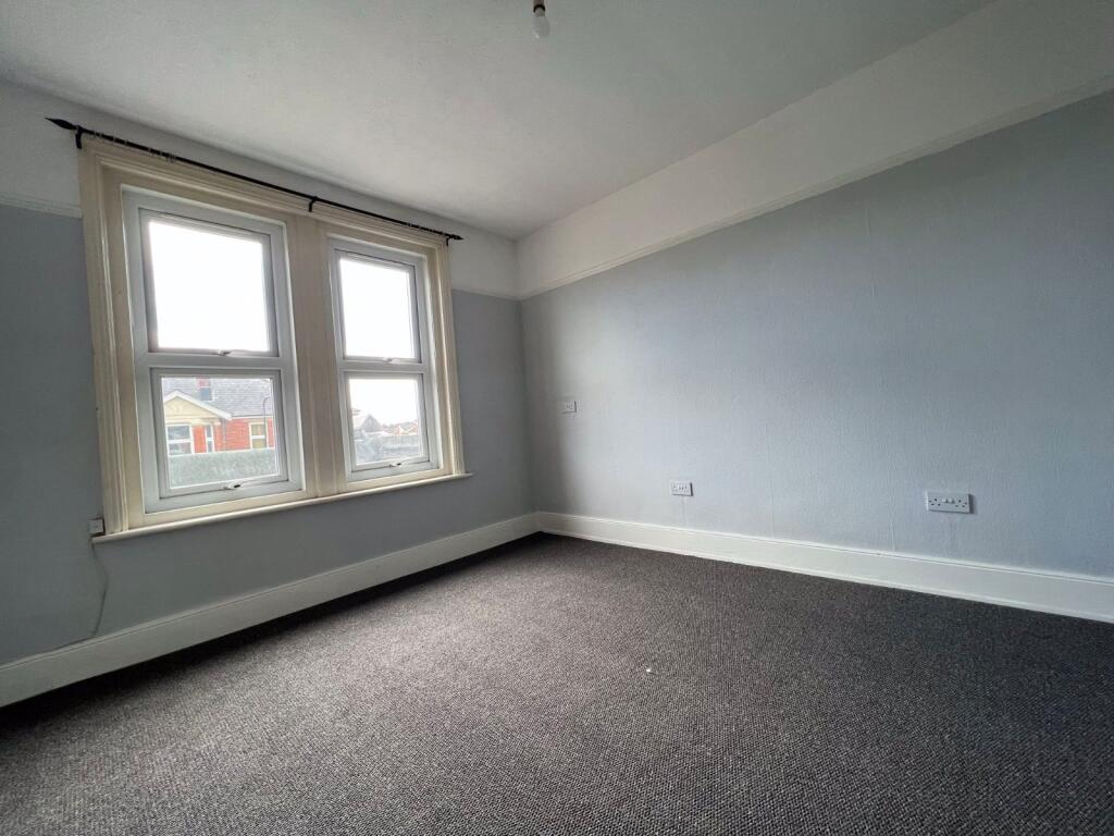
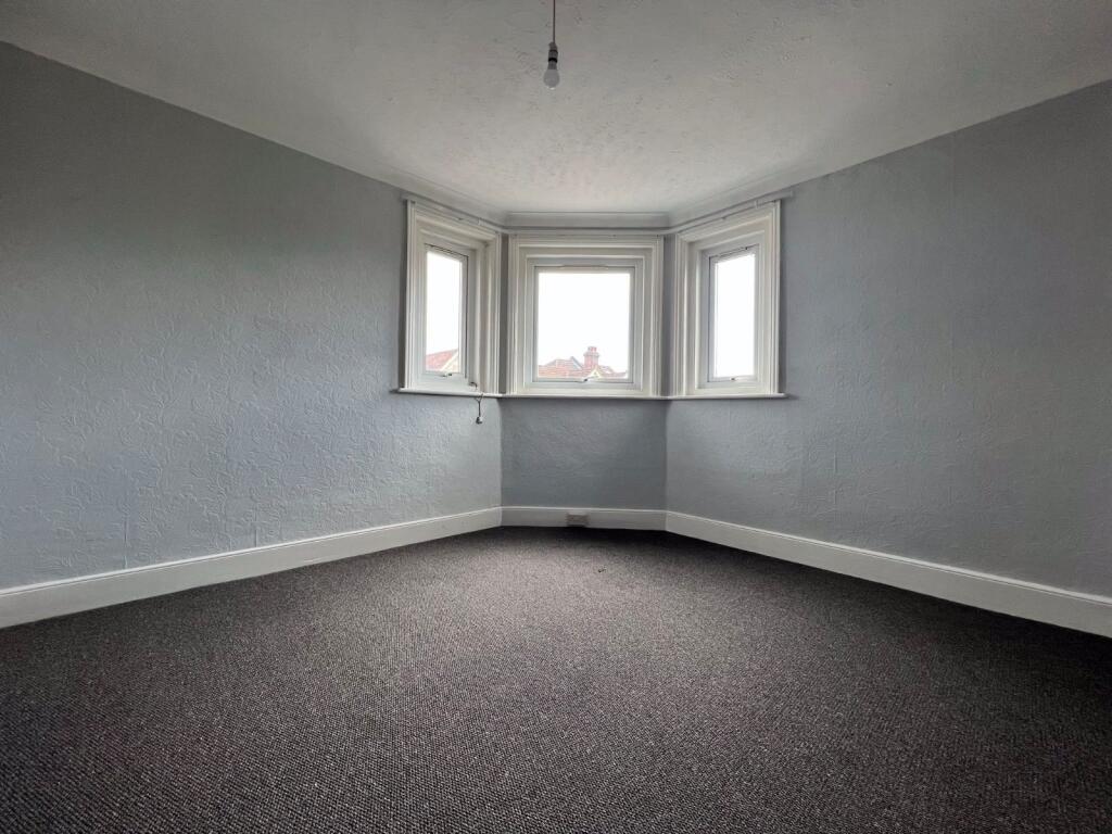
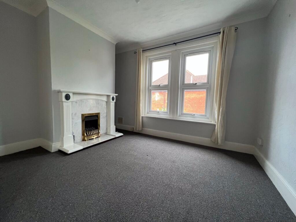
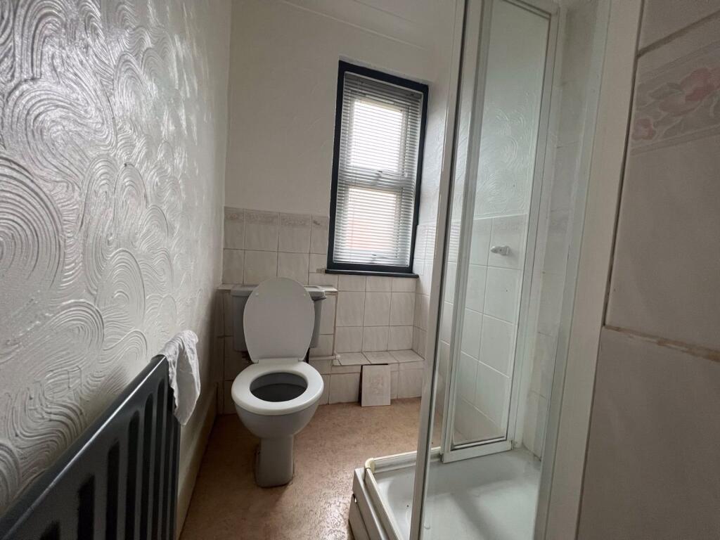
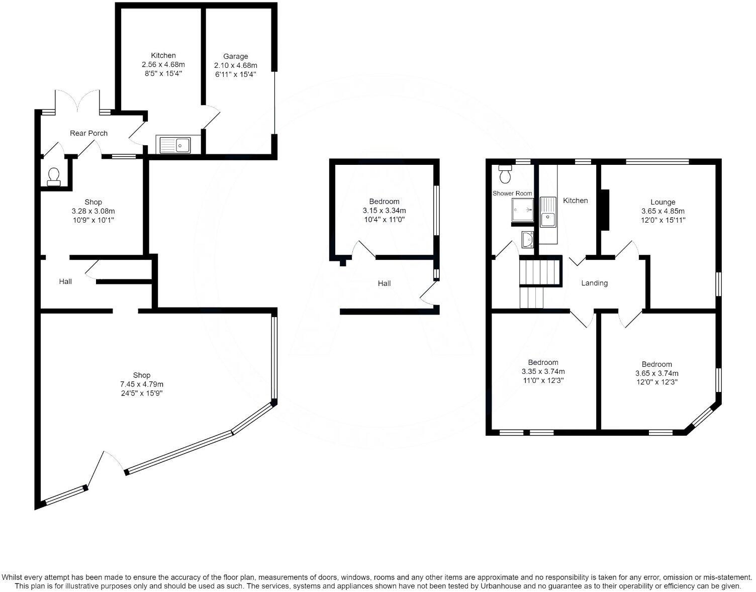
This property is a 3-bedroom flat located on Malmesbury Road in Shirley, Southampton. The location benefits from being relatively close to several railway stations, including Millbrook and Southampton Central, and a number of schools with good Ofsted ratings. The property itself appears to be a period property, requiring some modernisation. While the images show a small rear garden, it is mainly gravel. The list price of £325,000 is higher than the average price for the area (£271,752), but the property is larger than average (1302 sqft vs 898 sqft average). The price per sqft is above average, which may be justified by the location and potential for rental income given its proximity to transport links and schools. However, the condition of the property suggests it requires modernisation, which would impact the overall value.
Therefore, we give this property 5 / 10. *Disclaimer: This is our option and does constitute a recommendation or financial advice. Do your own research. *
- Price
- 6
- Condition
- 6
- Location
- 8
- Land
- 3
- Bedrooms
- 3
- Bathrooms
- 2
- Sqft (est)
- 1,302.11
The heatmap indicates the level of crime in the area. The color of the heatmap indicates the crime severity and recency.
Metrics Year-on-Year
- Average area value
- 345,413.00 £Increased by 43.37 %
- Est sale value
- 572,928.40 £Increased by 48.15 %
- Average area rental value
- 1,031.00 £/moDecreased by 7.37 %
- Est letting value
- 1,302.11 £/moUnchanged by 0.00 %
- Est rental Yield
- 3.58 %Decreased by 35.38 %
- Crime Rate
- 2.00 %Unchanged by 0.00 %
Agent Activity
Charters created the listing.
Nearby Schools
| Name | Type | Ofsted | Distance |
|---|---|---|---|
| St Mark'S Church Of England Voluntary Controlled Primary School | Voluntary Controlled School | Good | 0.32 KM |
| Freemantle Sure Start Children Centre | Children's Centre | 0.78 KM | |
| King Edward Vi School | Other Independent School | 0.78 KM | |
| Freemantle Church Of England Community Academy | Academy Converter | Good | 0.87 KM |
| Springhill Catholic Primary School | Academy Converter | 1.00 KM |
Images
Nearby Streets
| Name | Average Price | Average Sqft | Distance |
|---|---|---|---|
| Western District Cut | £ 0 | 0 | 0.00 KM |
| Shirley Road | £ 135,000 | 0 | 0.00 KM |
| Branksome Avenue | £ 0 | 0 | 0.00 KM |
| Harland Crescent | £ 0 | 0 | 0.00 KM |
| Morland Road | £ 0 | 0 | 0.00 KM |
Nearby Transport
| Name | NLC | TLC | Distance |
|---|---|---|---|
| Millbrook (Hants) | 5909 | MBK | 1.49 KM |
| Southampton Central | 5932 | SOU | 1.56 KM |
| St Denys | 5914 | SDN | 3.85 KM |
| Bitterne | 5945 | BTE | 5.01 KM |
| Redbridge | 5912 | RDB | 5.29 KM |
Nearby Listings
| Address | Price | Type | Score | Distance |
|---|---|---|---|---|
| Malmesbury Road, Shirley, Southampton, SO15 | £ 325,000 | BUY | 5 / 10 | 0.00 KM |
| Malmesbury Road, Shirley, Southampton, SO15 | £ 325,000 | BUY | 5 / 10 | 0.00 KM |
| Malmesbury Road, Shirley, Southampton, Hampshire, SO15 | £ 150,000 | BUY | 6 / 10 | 0.04 KM |
| Malmesbury Road, Southampton, Hampshire, SO15 | £ 220,000 | BUY | Unknown | 0.05 KM |
| Malmesbury Road, Southampton | £ 270,000 | BUY | 7 / 10 | 0.05 KM |
Nearby Properties
| Address | Price | Distance |
|---|---|---|
| 82 Malmesbury Road | £ 167,000 | 0.05 KM |
| 86 Malmesbury Road | £ 190,000 | 0.05 KM |
| 102 Malmesbury Road | £ 119,500 | 0.05 KM |
| 80b Malmesbury Road | £ 69,995 | 0.05 KM |
| 134 Malmesbury Road | £ 270,000 | 0.05 KM |