Pure Estate Agents says ..
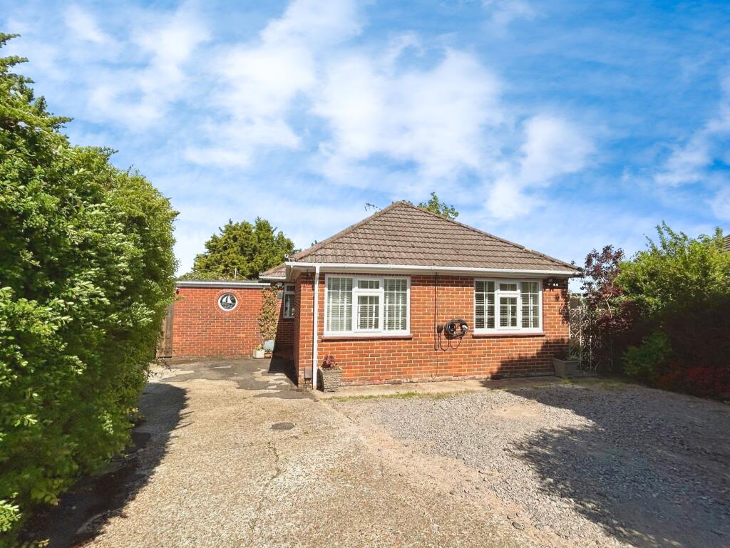
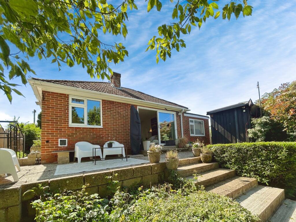
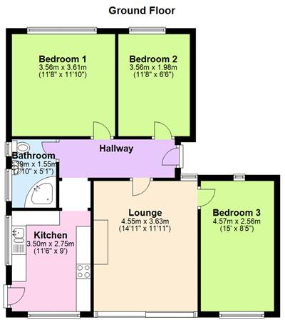
Pure are pleased to market this modernised and well kept, three bedroom detached bungalow located in a very desirable, cul de sac location, which is just a short walk into West End village. Features include three bedrooms, driveway parking, Stunning large enclosed rear garden and outbuilding with...
Property Oracle says ..
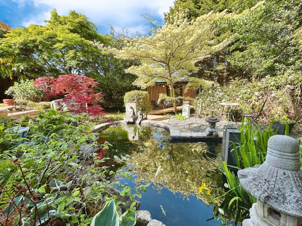
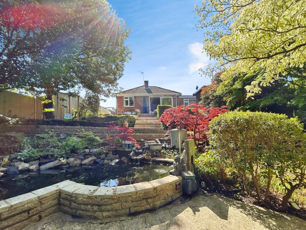
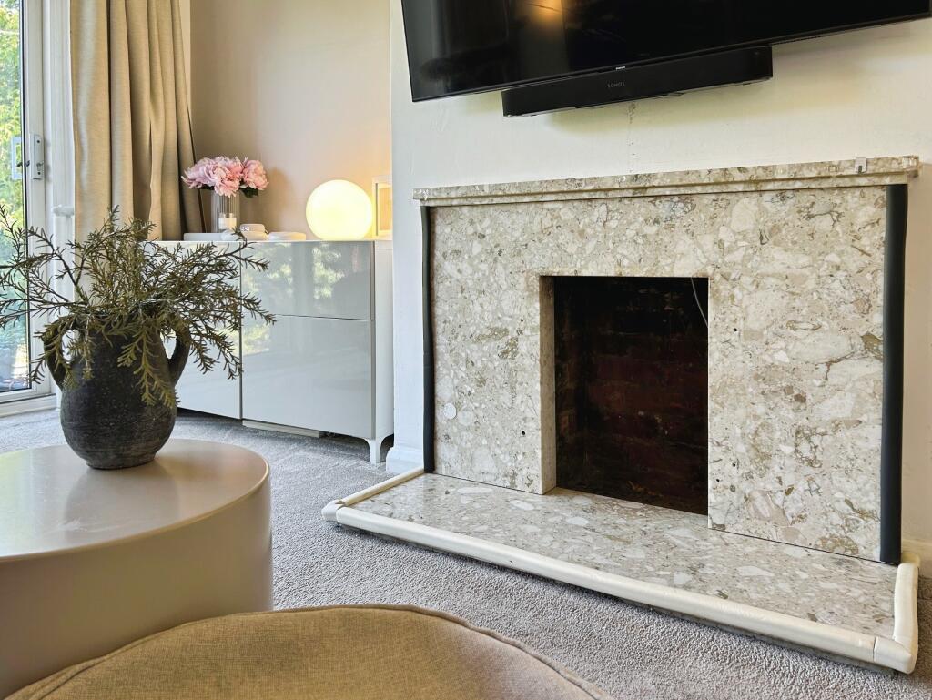
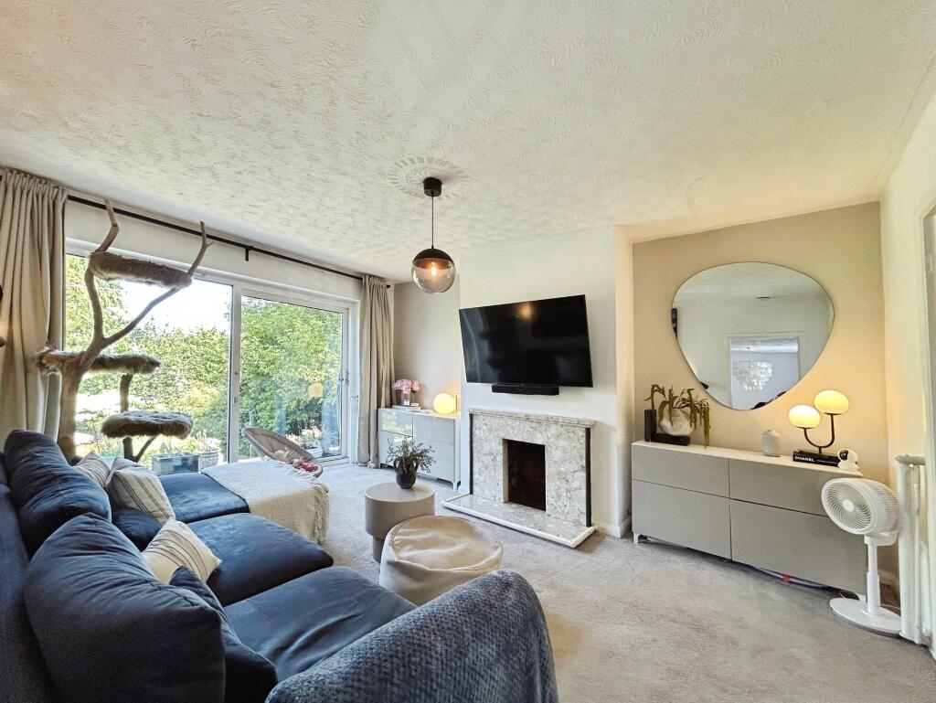
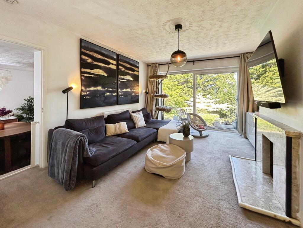
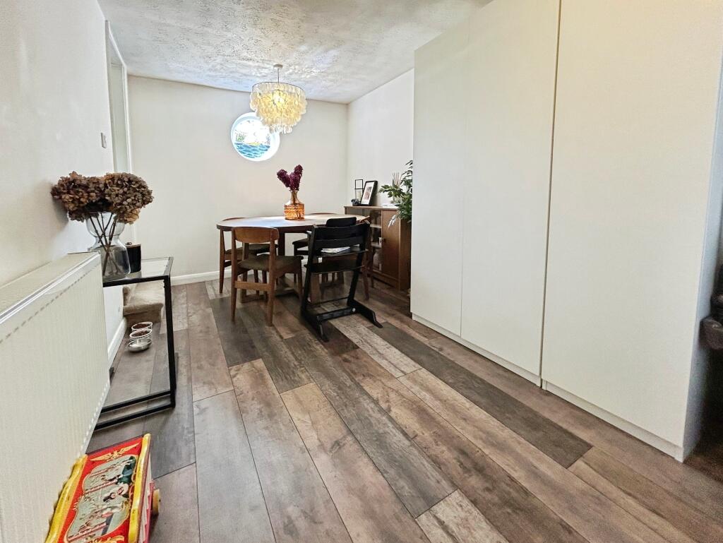
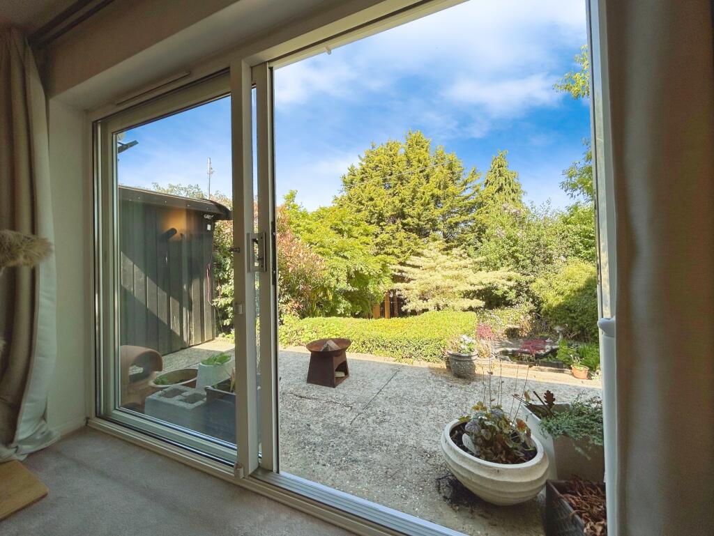
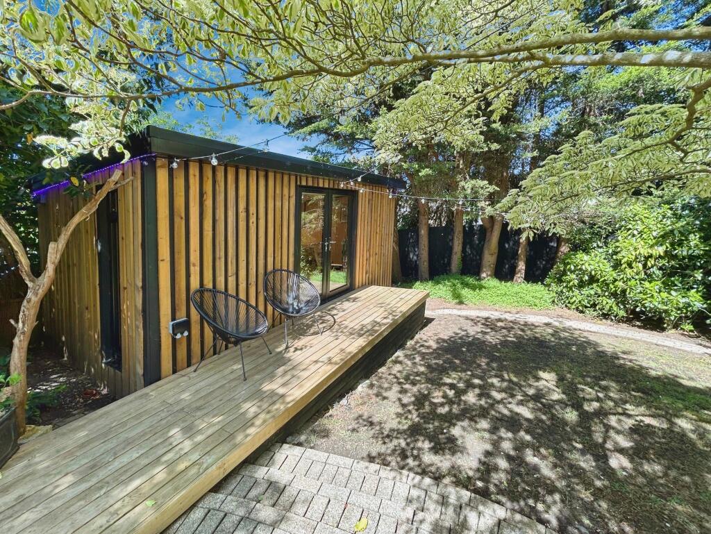
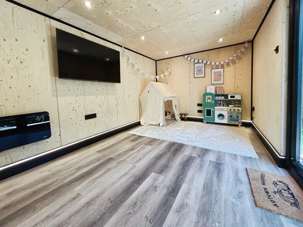
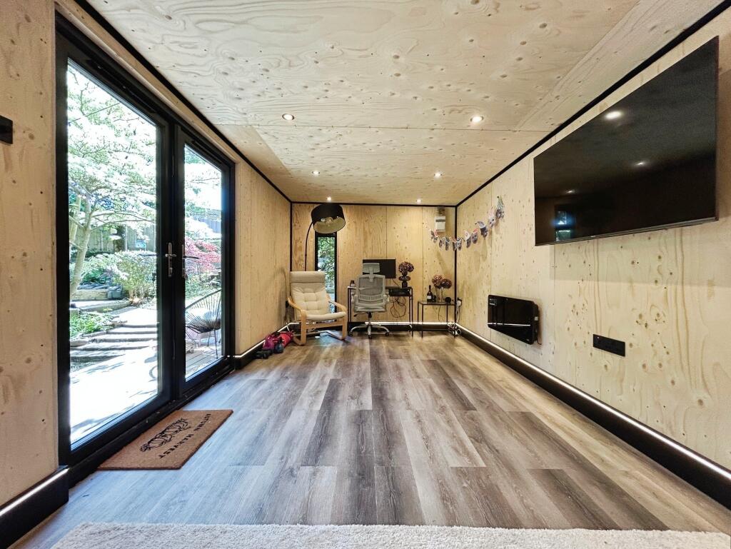
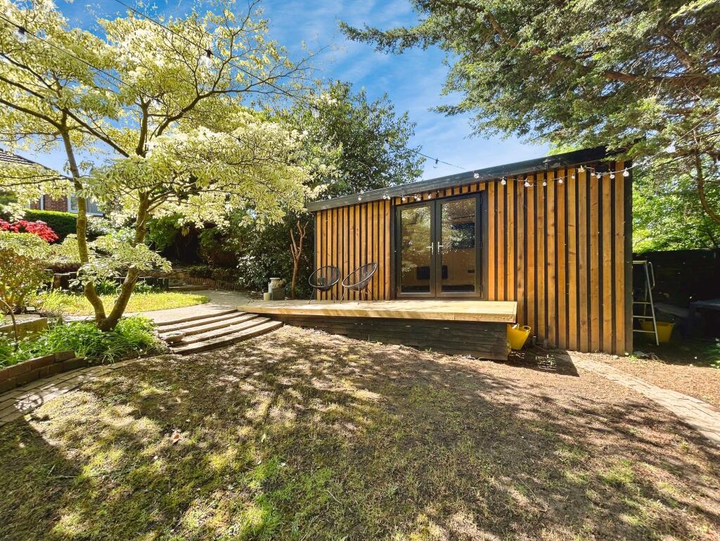
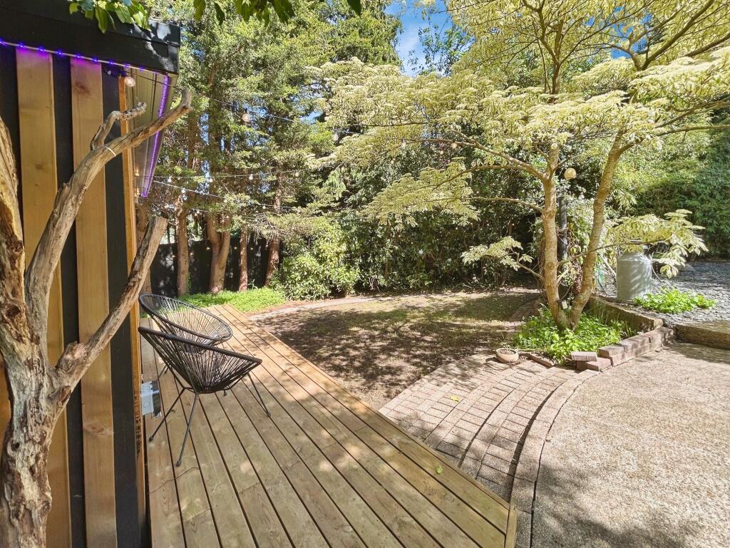
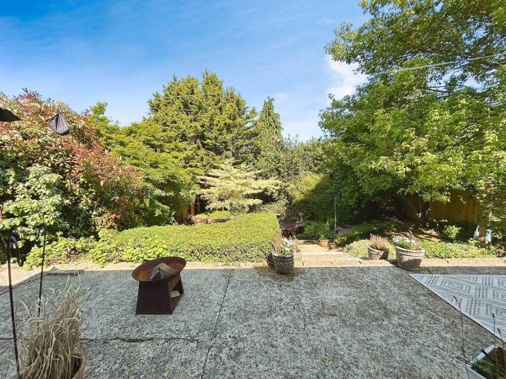
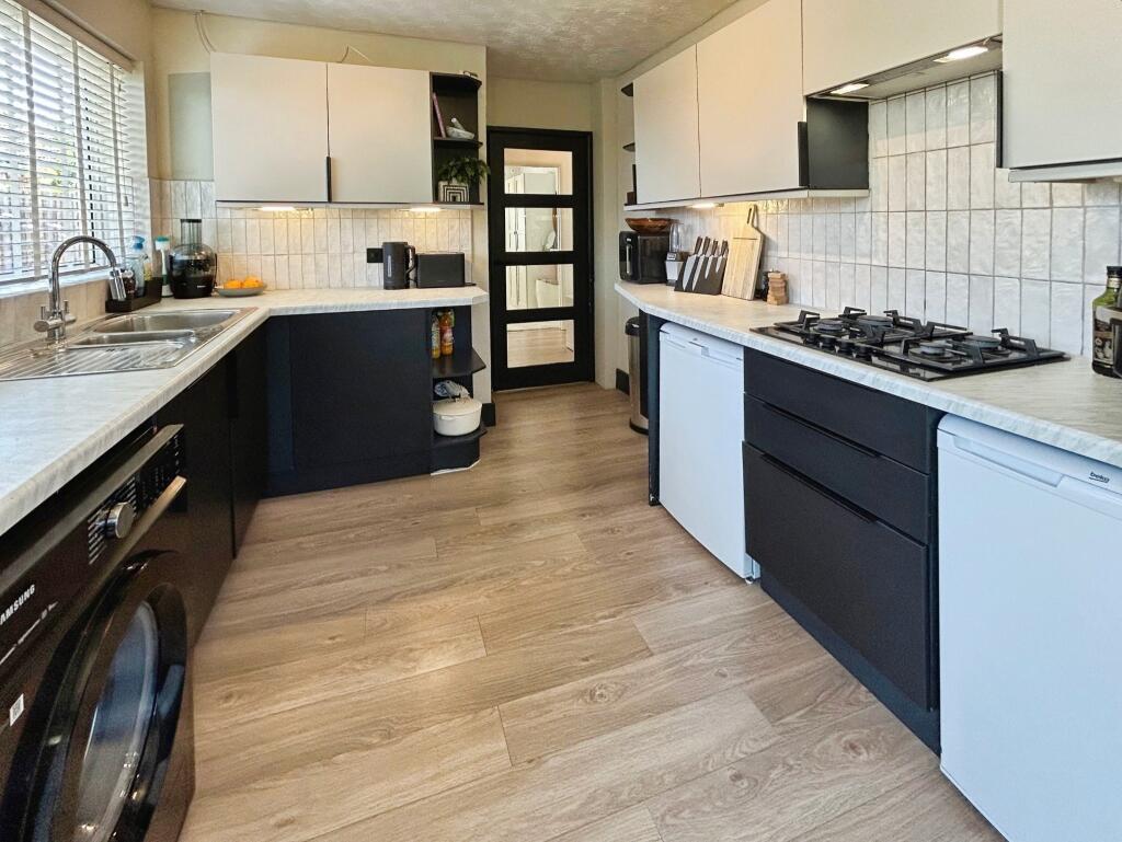
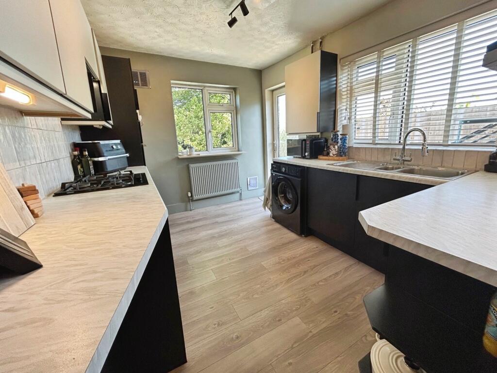
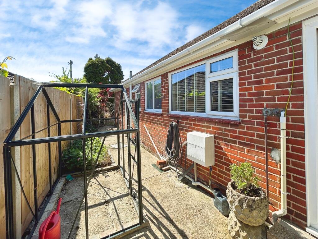
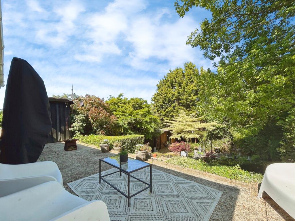
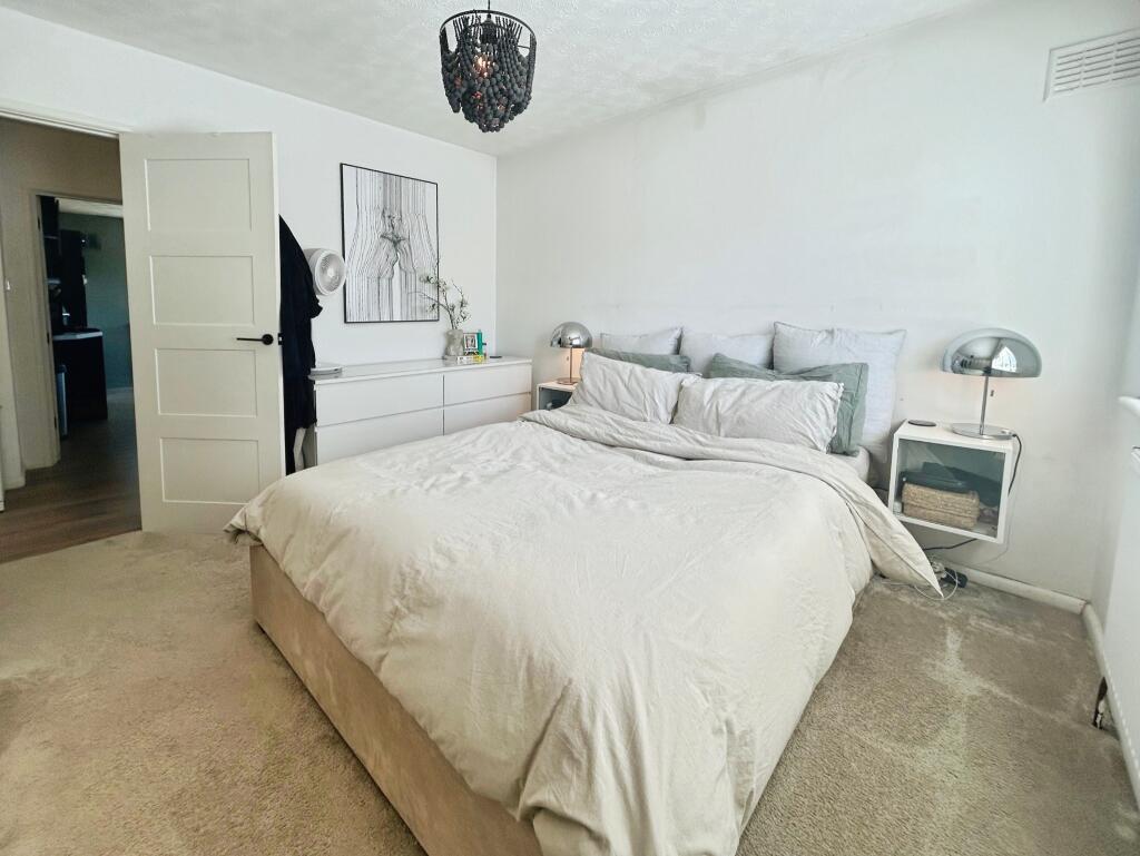
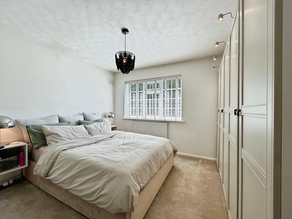
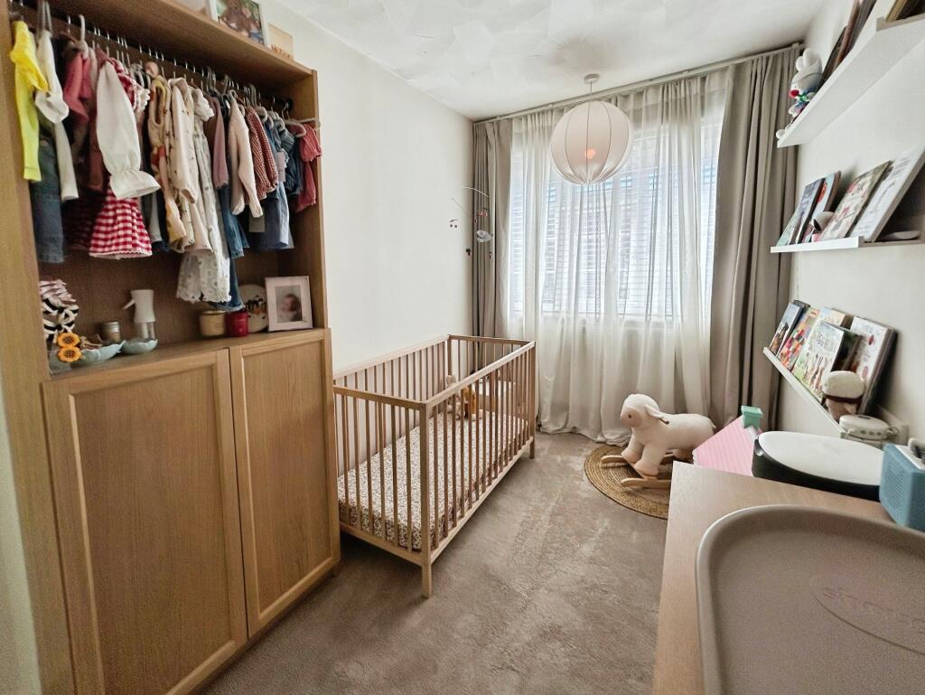
The property is a 3-bedroom, 1-bathroom detached bungalow located in West End, Southampton, with a list price of £400,000. The property has a plot size of 0.00 sqft and is 687.17 sqft in size. The average house price in the area is £328,920, with an average price per sqft of £331.00. Nearby comparable properties range in price from £90,000 for a flat to £750,000 for a detached house, indicating a wide price range in the area. The property’s location near several schools, including Saint James’ Church of England Primary School (rated ‘Good’ by Ofsted), and its proximity to Southampton Airport Parkway train station, are positive factors. The garden is a significant feature, showcasing mature trees and landscaping, including a pond and a modern garden room/studio. This adds considerable value. The interior of the property appears well-maintained and modernised, with a recently updated kitchen and bathrooms. The property benefits from a fireplace and has a modern aesthetic throughout. Considering the property’s location, condition, and the inclusion of a substantial garden and garden studio, the asking price of £400,000 appears reasonable when compared to similar properties in the area. While the average price per sqft in the area is £331.00, the unique features of this property, such as the garden and garden studio, justify a higher price.
Therefore, we give this property 7 / 10. *Disclaimer: This is our option and does constitute a recommendation or financial advice. Do your own research. *
- Price
- 7
- Condition
- 8
- Location
- 7
- Land
- 9
- Bedrooms
- 3
- Bathrooms
- 1
- Sqft (est)
- 687.17
The heatmap indicates the level of crime in the area. The color of the heatmap indicates the crime severity and recency.
Metrics Year-on-Year
- Average area value
- 280,000.00 £Decreased by 25.28 %
- Est sale value
- 246,006.86 £Decreased by 0.83 %
- Average area rental value
- 1,167.00 £/moDecreased by 0.26 %
- Est letting value
- 687.17 £/moUnchanged by 0.00 %
- Est rental Yield
- 5.00 %Increased by 33.33 %
- Crime Rate
- 6.00 %Unchanged by 0.00 %
Agent Activity
Pure Estate Agents created the listing.
Nearby Schools
| Name | Type | Ofsted | Distance |
|---|---|---|---|
| Saint James' Church Of England Primary School | Voluntary Controlled School | Good | 0.88 KM |
| Woodlands Community College | Foundation School | Requires improvement | 1.14 KM |
| Kanes Hill Primary School | Academy Converter | Requires improvement | 1.84 KM |
| Harefield Primary School | Academy Converter | 1.86 KM | |
| Thornhill Sure Start Childrens Centre | Children's Centre | 2.12 KM |
Images

Nearby Streets
| Name | Average Price | Average Sqft | Distance |
|---|---|---|---|
| Old School Gardens | £ 450,000 | 0 | 0.00 KM |
| Caversham Close | £ 600,000 | 0 | 0.00 KM |
| Mulberry Court | £ 0 | 0 | 0.00 KM |
| Church Hill | £ 0 | 0 | 0.00 KM |
| Redwood Close | £ 0 | 0 | 0.00 KM |
Nearby Transport
| Name | NLC | TLC | Distance |
|---|---|---|---|
| Southampton Airport Parkway | 5922 | SOA | 4.13 KM |
| Hedge End | 5893 | HDE | 4.35 KM |
| Sholing | 5930 | SHO | 4.91 KM |
| Bitterne | 5945 | BTE | 4.92 KM |
| Eastleigh | 5899 | ESL | 4.93 KM |
Nearby Listings
| Address | Price | Type | Score | Distance |
|---|---|---|---|---|
| West End, Southampton | £ 400,000 | BUY | 7 / 10 | 0.00 KM |
| Severn Way, West End, SO30 | £ 450,000 | BUY | 7 / 10 | 0.02 KM |
| High Street, West End, SOUTHAMPTON | £ 115,000 | BUY | 5 / 10 | 0.08 KM |
| High Street, West End, SOUTHAMPTON | £ 115,000 | BUY | 5 / 10 | 0.08 KM |
| 64-66 High Street, West End, Southampton | £ 175,000 | BUY | 6 / 10 | 0.10 KM |
Nearby Properties
| Address | Price | Distance |
|---|---|---|
| 14 Severn Way | £ 420,000 | 0.00 KM |
| 5 Severn Way | £ 295,000 | 0.02 KM |
| 7 Severn Way | £ 275,000 | 0.02 KM |
| 6 Severn Way | £ 340,000 | 0.02 KM |
| 67a High Street | £ 71,250 | 0.08 KM |