
Tunstall Vale, Sunderland, SR2
By Northwood
£ 950
Northwood says ..
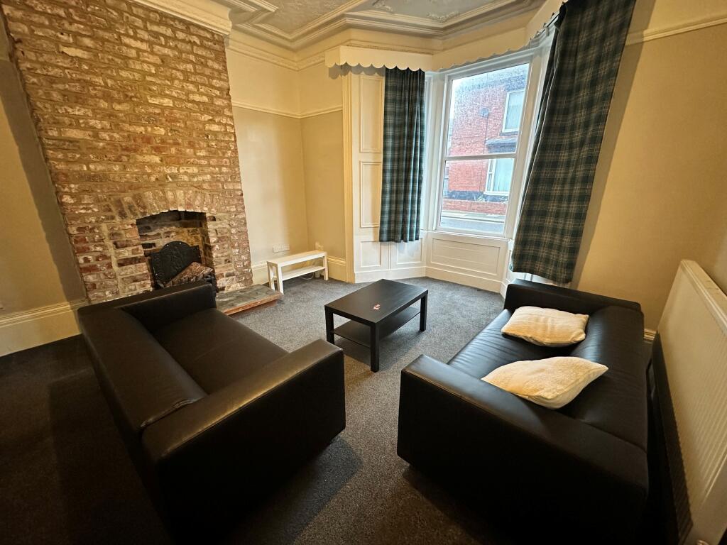
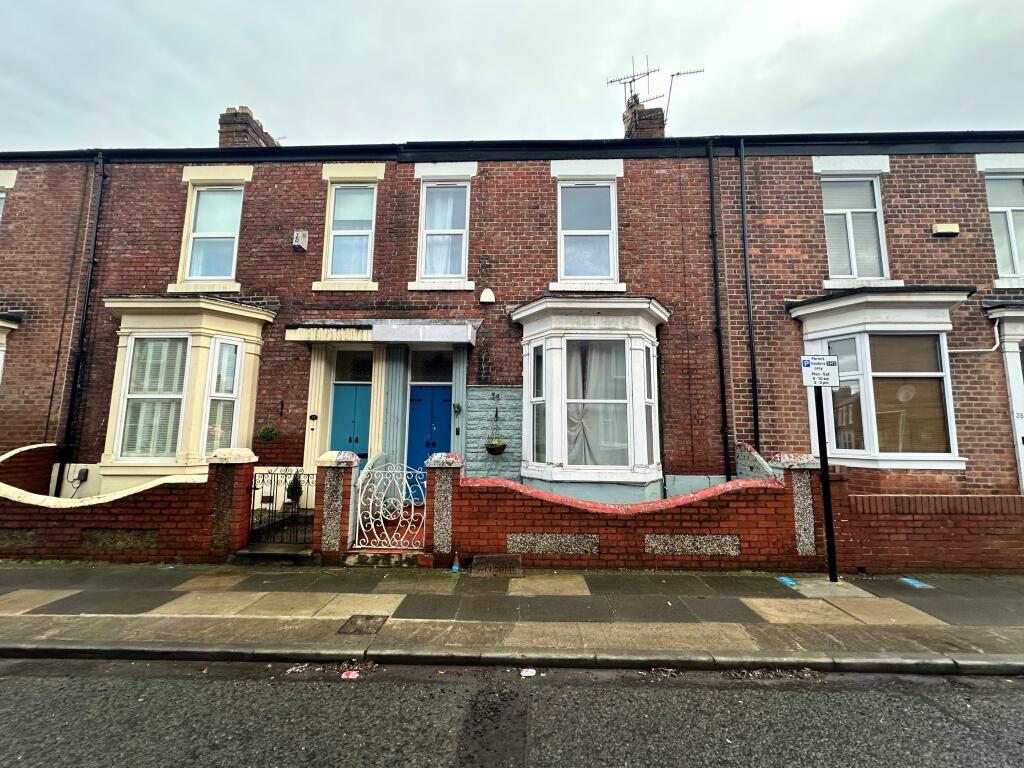
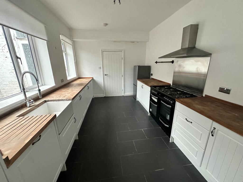
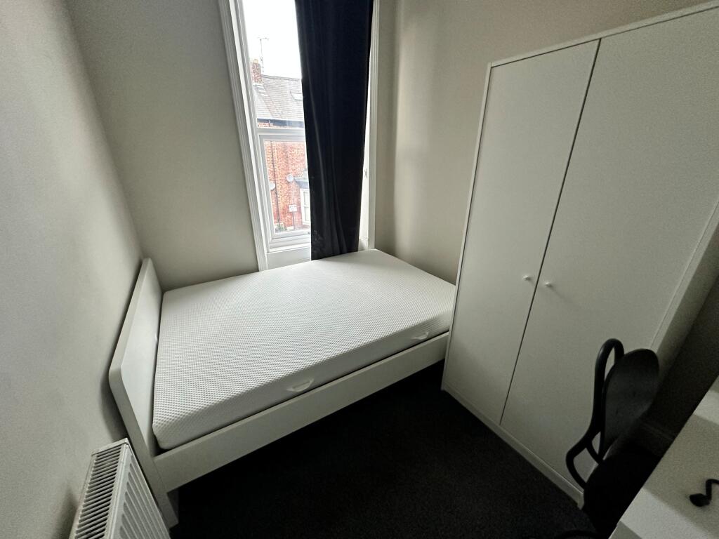
Three bedroom terraced house in a popular area of Sunderland
- Bedrooms
- 3
- Bathrooms
- 1
The heatmap indicates the level of crime in the area. The color of the heatmap indicates the crime severity and recency.
Metrics Year-on-Year
- Average area value
- 234,977.00 £Increased by 10.88 %
- Average area rental value
- 1,065.00 £/moDecreased by 1.11 %
- Est rental Yield
- 5.44 %Decreased by 10.82 %
- Crime Rate
- 2.00 %Unchanged by 0.00 %
from 211,917.00 £
from 1,077.00 £/mo
from 6.10 %
from 2.00 %
Agent Activity
Northwood created the listing.
Nearby Schools
| Name | Type | Ofsted | Distance |
|---|---|---|---|
| St Aidan'S Catholic Academy | Academy Converter | Good | 0.38 KM |
| Argyle House School | Other Independent School | 0.47 KM | |
| Ashbrooke School | Other Independent Special School | Good | 0.55 KM |
| Thornhill Academy | Academy Sponsor Led | 0.57 KM | |
| Consilium Evolve | Academy Alternative Provision Converter | 0.65 KM |
Images


Nearby Streets
| Name | Average Price | Average Sqft | Distance |
|---|---|---|---|
| Cross Vale Road | £ 129,950 | 0 | 0.00 KM |
| The Avenue | £ 0 | 0 | 0.00 KM |
| Gorse Road | £ 220,000 | 0 | 0.00 KM |
| Ashbrooke Hall | £ 0 | 0 | 0.00 KM |
| Park Road | £ 362,500 | 0 | 0.00 KM |
Nearby Transport
| Name | NLC | TLC | Distance |
|---|---|---|---|
| Sunderland | 7640 | SUN | 1.15 KM |
| Seaham | 7814 | SEA | 7.80 KM |
Nearby Listings
| Address | Price | Type | Score | Distance |
|---|---|---|---|---|
| Tunstall Vale, Sunderland, SR2 | £ 950 | RENT | Unknown | 0.00 KM |
| Willow Green, Ashbrooke, Sunderland | £ 850 | RENT | Unknown | 0.16 KM |
| The Grove, Sunderland, SR2 | £ 645 | RENT | Unknown | 0.20 KM |
| The Grove, Sunderland | £ 775 | RENT | Unknown | 0.21 KM |
| The Grove, Sunderland | £ 700 | RENT | Unknown | 0.21 KM |
Nearby Properties
| Address | Price | Distance |
|---|---|---|
| 30 Tunstall Vale | £ 52,000 | 0.00 KM |
| 25 Tunstall Vale | £ 141,500 | 0.00 KM |
| 24 Tunstall Vale | £ 111,000 | 0.00 KM |
| 11 Tunstall Vale | £ 144,000 | 0.00 KM |
| 19 Tunstall Vale | £ 150,000 | 0.00 KM |