NO
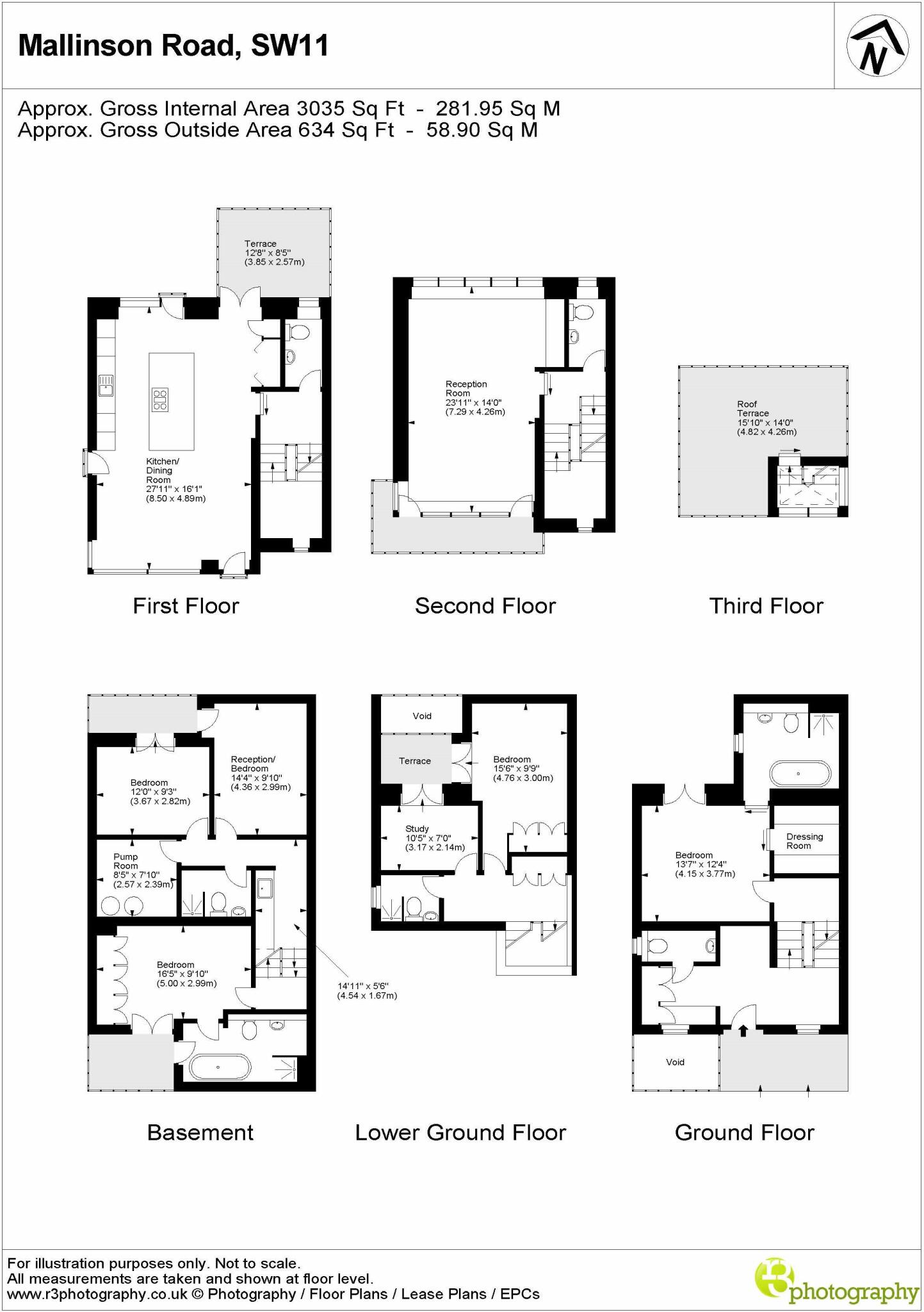
MALLINSON ROAD, SW11
By Noble Estates
£ 2,307
Noble Estates says ..
No Summary Description Added
- Bedrooms
- 5
- Bathrooms
- 4
The heatmap indicates the level of crime in the area. The color of the heatmap indicates the crime severity and recency.
Metrics Year-on-Year
- Average area value
- 939,476.00 £Decreased by 7.90 %
- Average area rental value
- 3,276.00 £/moIncreased by 16.67 %
- Est rental Yield
- 4.18 %Increased by 26.67 %
- Crime Rate
- 7.00 %Unchanged by 0.00 %
from 1,020,087.00 £
from 2,808.00 £/mo
from 3.30 %
from 7.00 %
Agent Activity
Noble Estates created the listing.
Nearby Schools
| Name | Type | Ofsted | Distance |
|---|---|---|---|
| Dolphin School (Incorporating Noahs Ark Nursery Schools) | Other Independent School | 0.24 KM | |
| Belleville Primary School | Academy Converter | 0.25 KM | |
| Ark Bolingbroke Academy | Free Schools | Good | 0.49 KM |
| Honeywell Infant School | Foundation School | Outstanding | 0.53 KM |
| Honeywell Junior School | Foundation School | Outstanding | 0.53 KM |
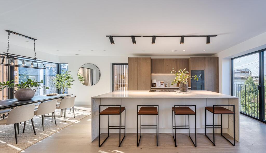
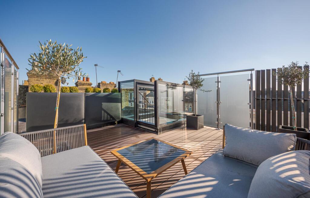
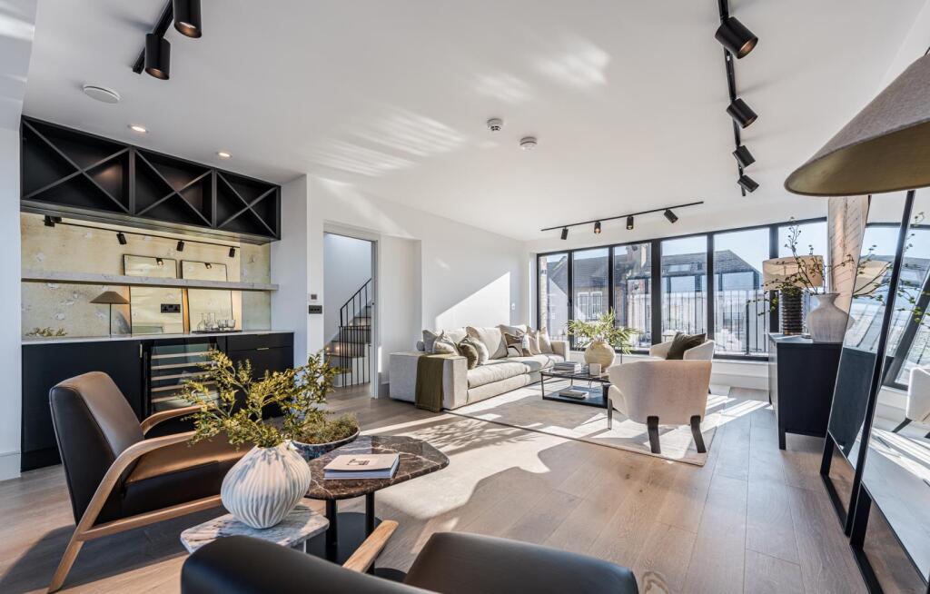
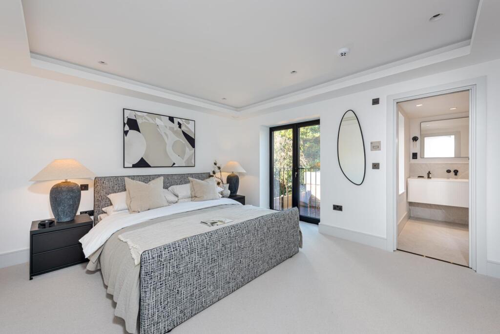
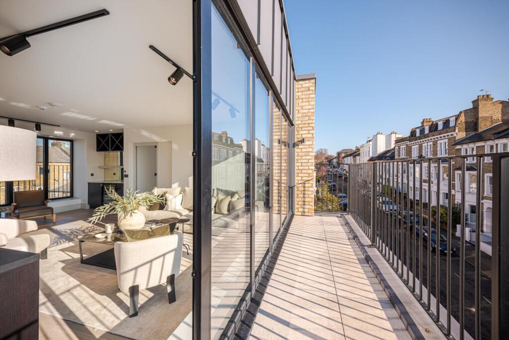
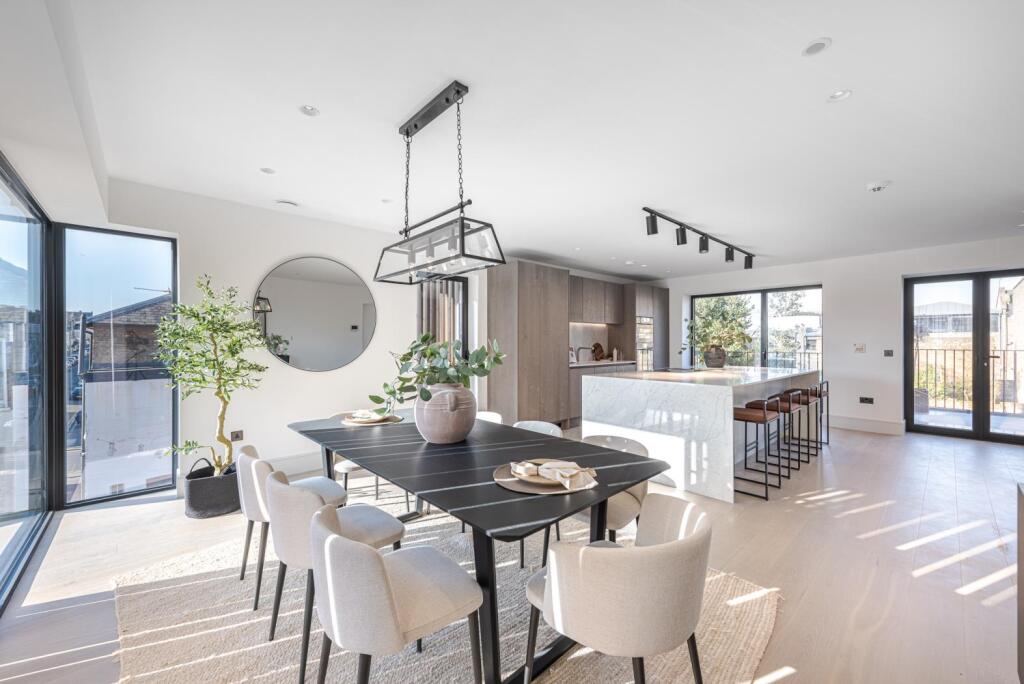
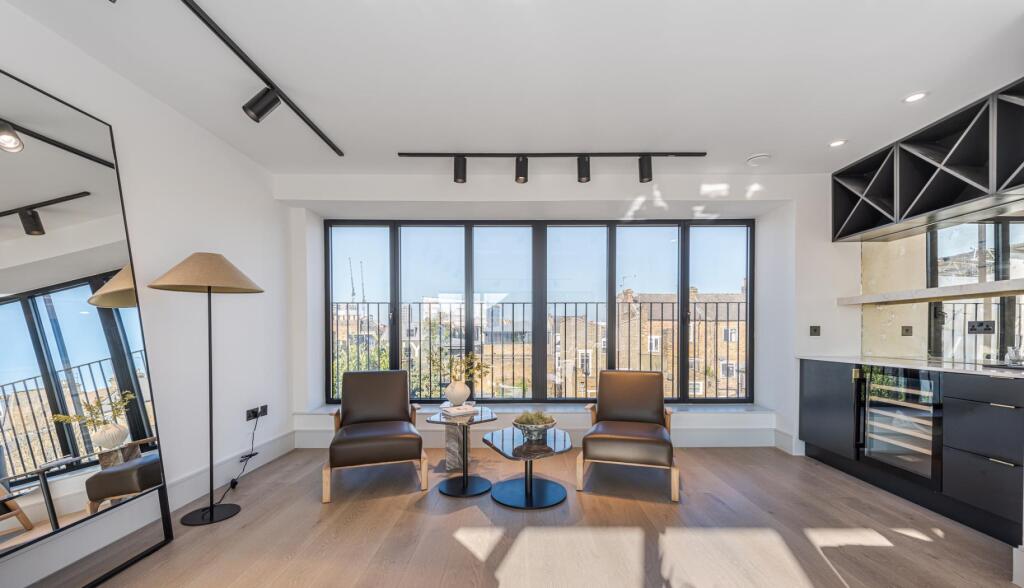
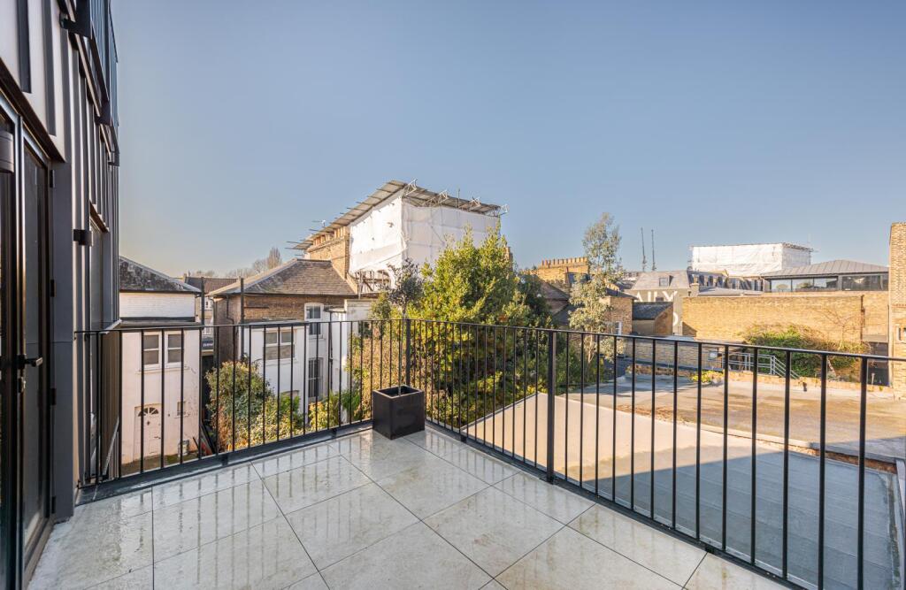
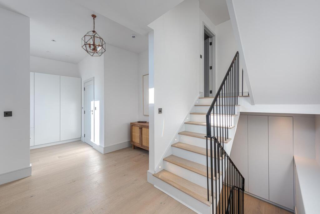
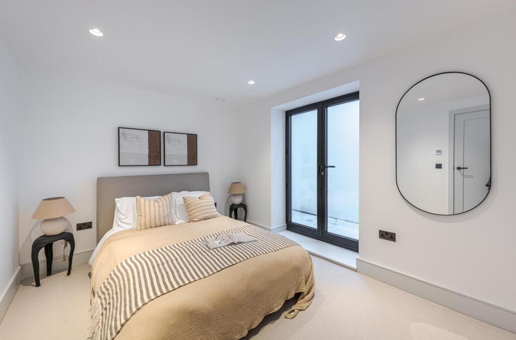
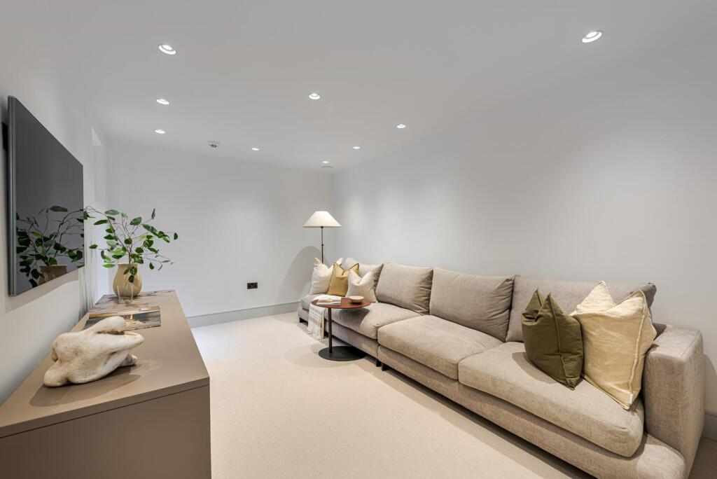
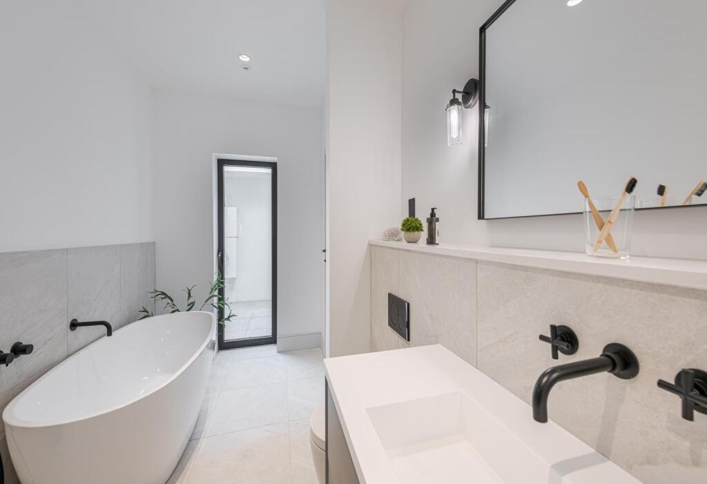
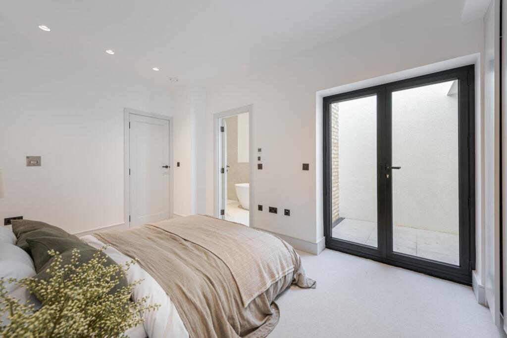
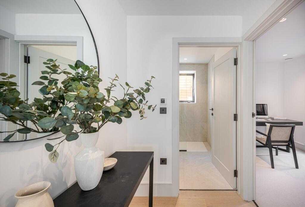
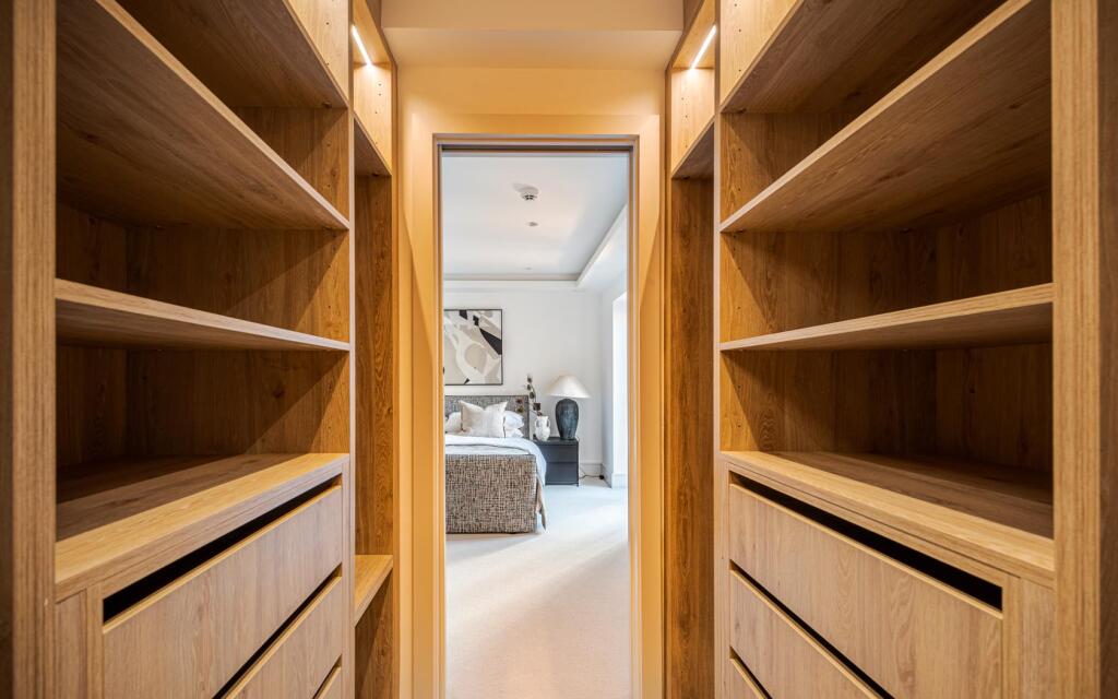
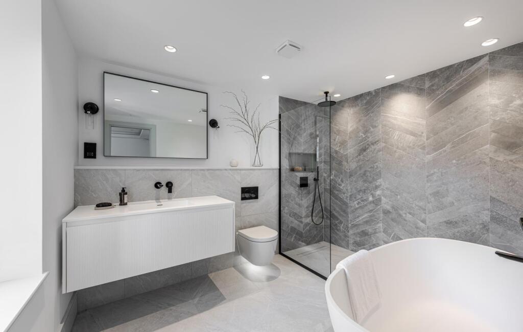
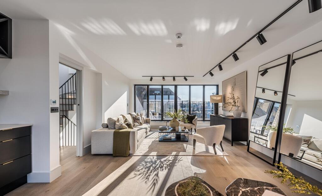
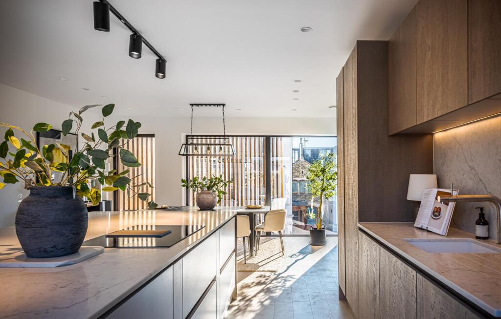
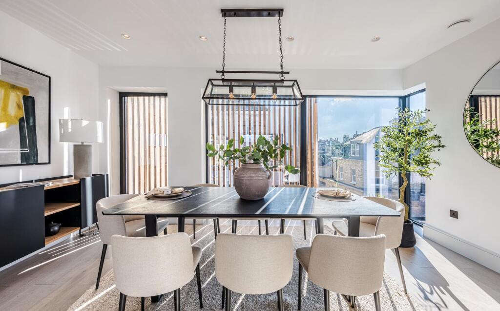
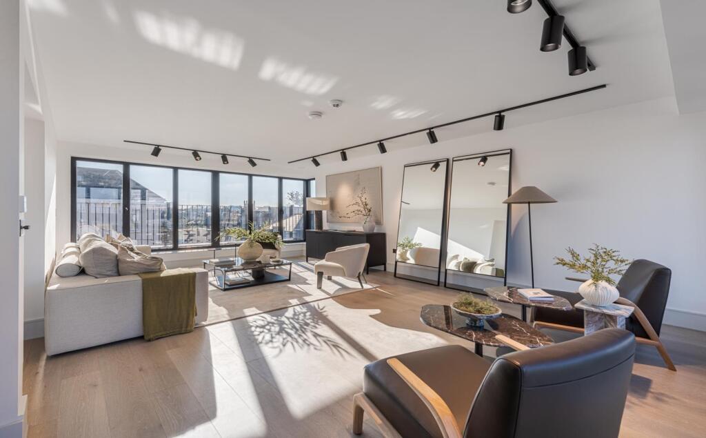
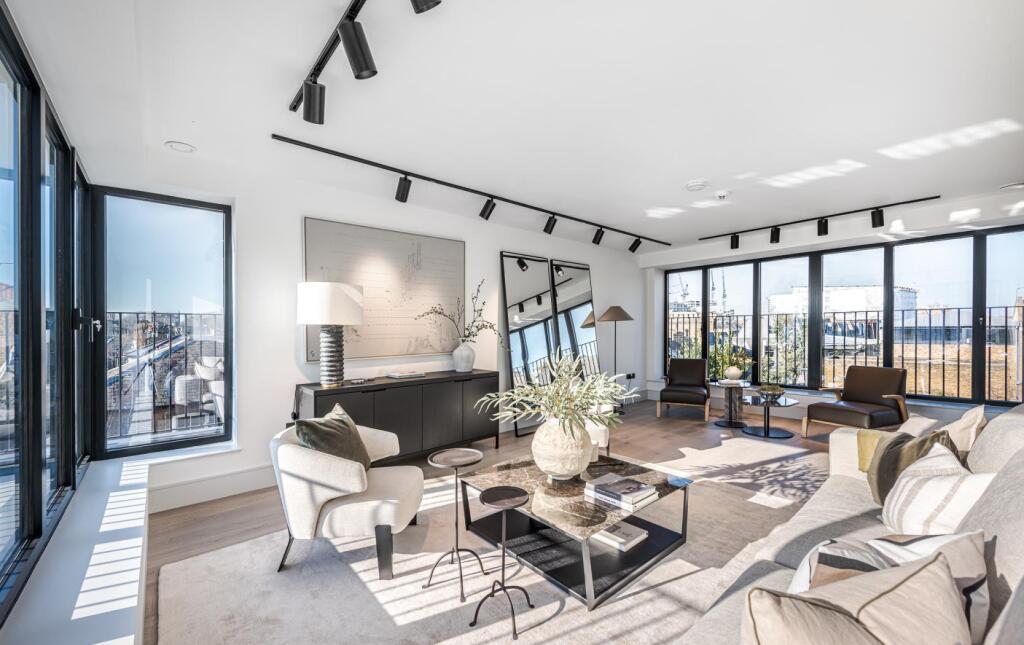
Images


Nearby Streets
| Name | Average Price | Average Sqft | Distance |
|---|---|---|---|
| Cairns Road | £ 818,750 | 0 | 0.00 KM |
| Auckland Road | £ 701,818 | 0 | 0.00 KM |
| Aliwal Road | £ 0 | 0 | 0.00 KM |
| Stonell's Road | £ 0 | 0 | 0.00 KM |
| Falcon Lane | £ 389,000 | 0 | 0.00 KM |
Nearby Transport
| Name | NLC | TLC | Distance |
|---|---|---|---|
| Clapham Junction | 5595 | CLJ | 0.82 KM |
| Wandsworth Common | 5395 | WSW | 1.44 KM |
| Balham | 5399 | BAL | 2.24 KM |
| Wandsworth Town | 5576 | WNT | 2.58 KM |
| Imperial Wharf | 9586 | IMW | 2.66 KM |
Nearby Listings
| Address | Price | Type | Score | Distance |
|---|---|---|---|---|
| MALLINSON ROAD, SW11 | £ 2,307 | RENT | Unknown | 0.00 KM |
| Mallinson Road, SW11 | £ 3,700 | RENT | Unknown | 0.01 KM |
| Mallinson Road, London, SW11 | £ 8,000 | RENT | Unknown | 0.03 KM |
| Northcote Road, Battersea, London, SW11 | £ 2,600 | RENT | Unknown | 0.03 KM |
| Mallinson Road, SW11 | £ 10,000 | RENT | Unknown | 0.08 KM |
Nearby Properties
| Address | Price | Distance |
|---|---|---|
| 97a Mallinson Road | £ 458,200 | 0.01 KM |
| 97b Mallinson Road | £ 500,000 | 0.01 KM |
| 85 Mallinson Road | £ 800,000 | 0.01 KM |
| 103a Mallinson Road | £ 625,000 | 0.01 KM |
| 83 Mallinson Road | £ 108,000 | 0.01 KM |