HA
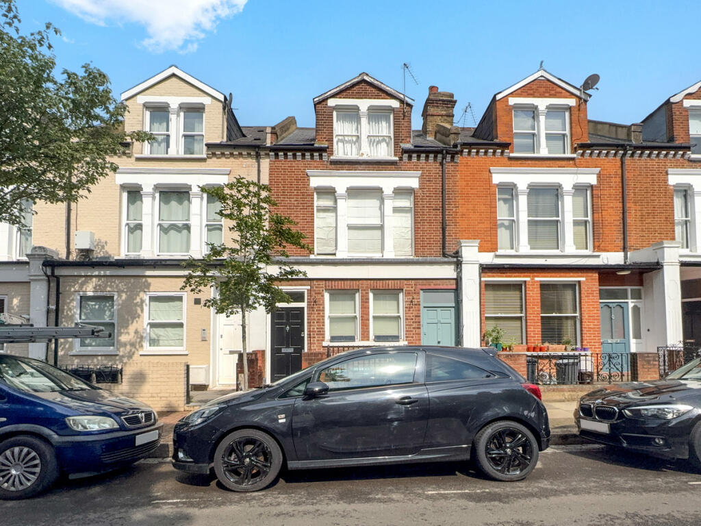
Barmouth Road, London, SW18
By Harding Green
£ 3,000
Harding Green says ..
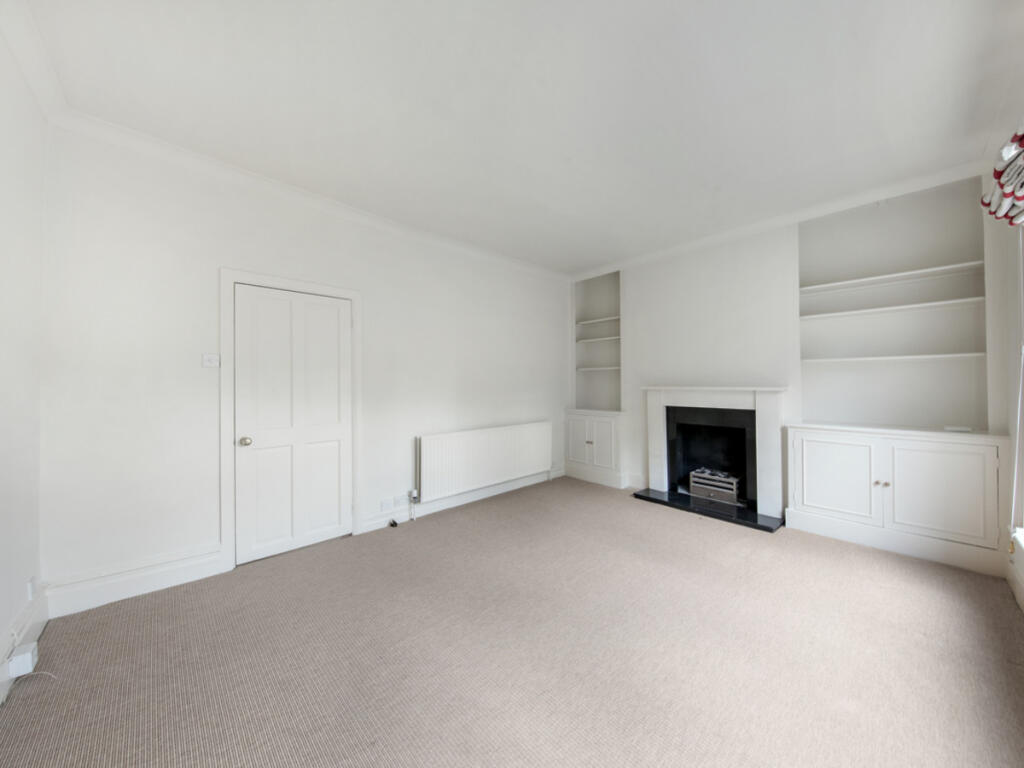
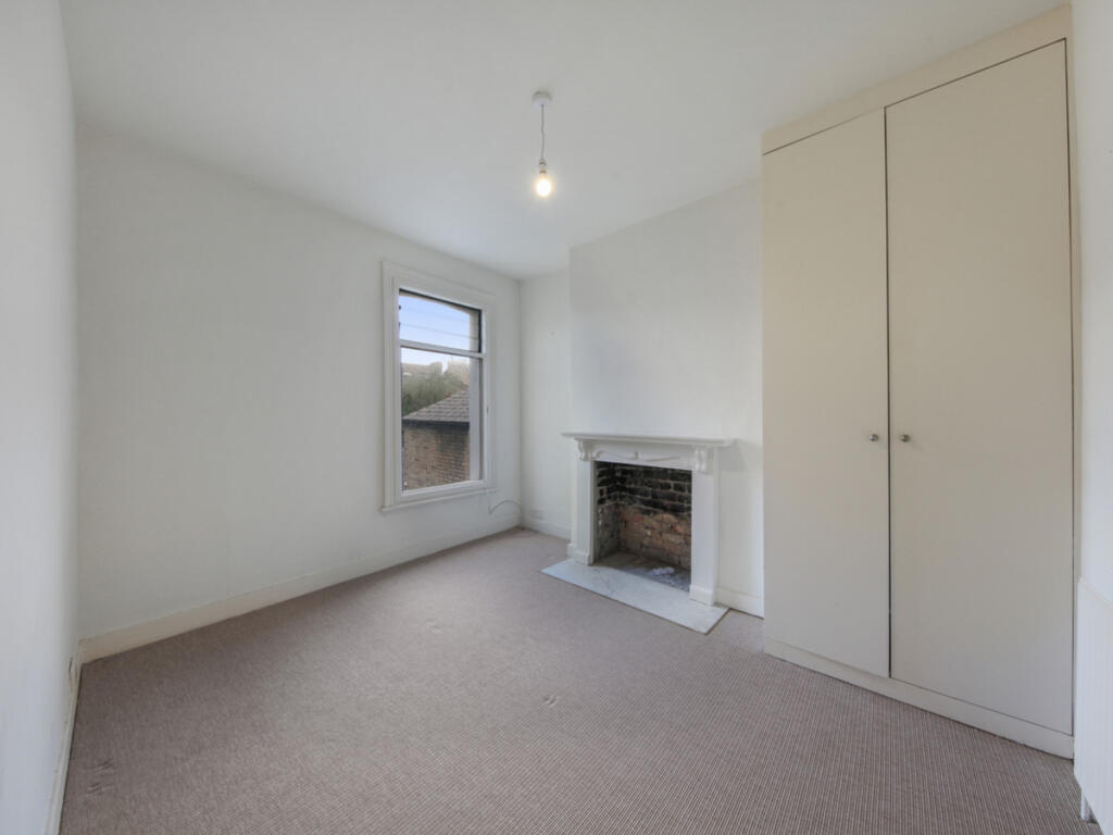
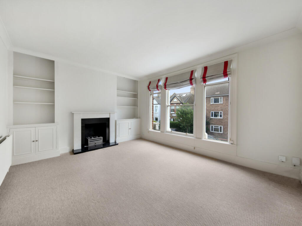
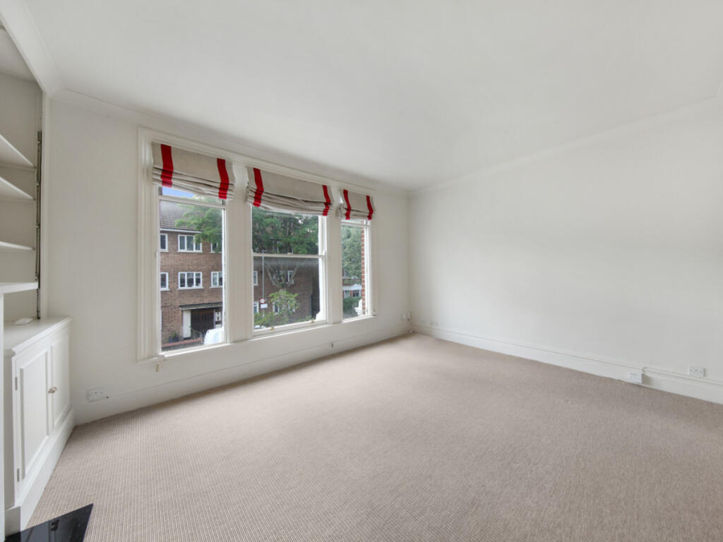
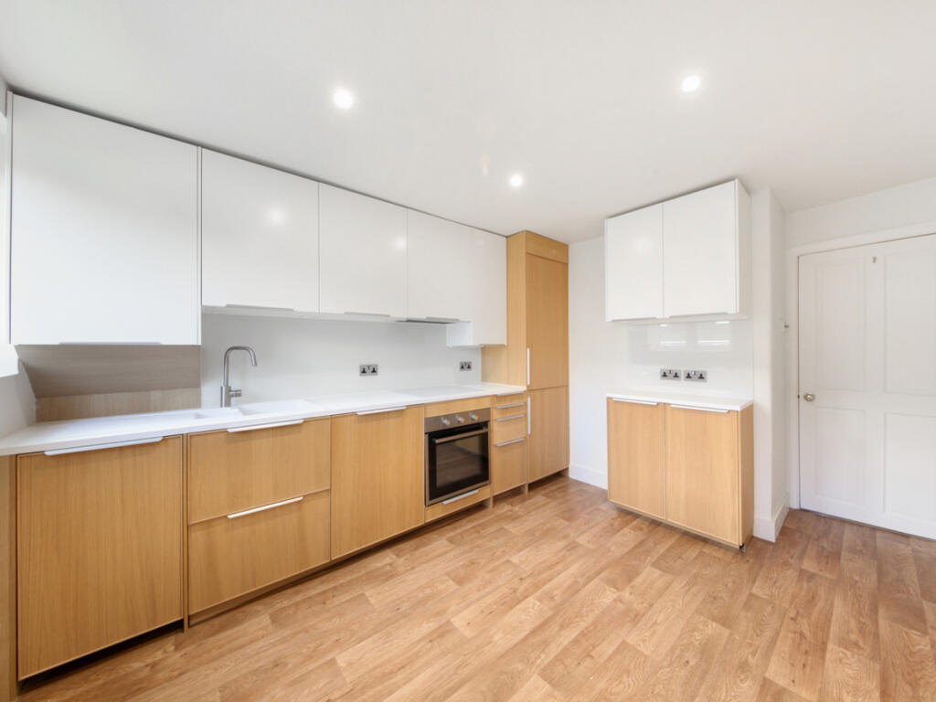
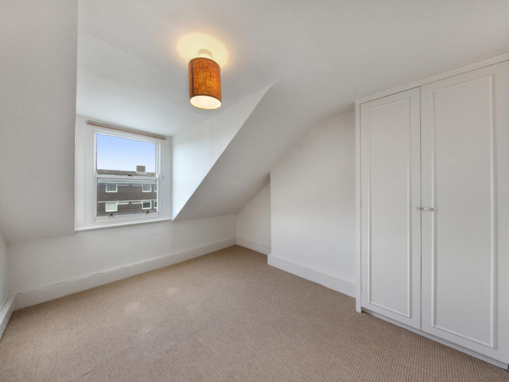
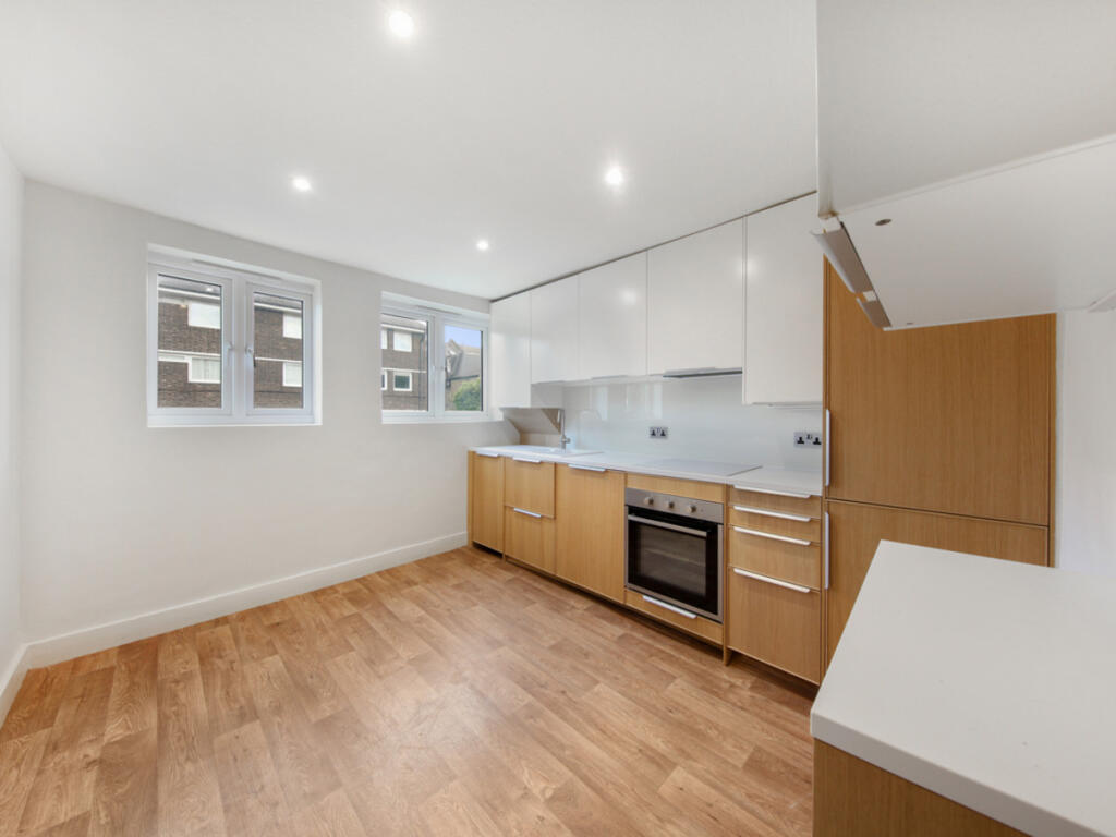
3 double bedrooms, bathroom, reception, eat-in kitchen, unfurnished
- Bedrooms
- 3
- Bathrooms
- 1
The heatmap indicates the level of crime in the area. The color of the heatmap indicates the crime severity and recency.
Metrics Year-on-Year
- Average area value
- 813,044.00 £Decreased by 21.38 %
- Average area rental value
- 2,565.00 £/moDecreased by 6.42 %
- Est rental Yield
- 3.79 %Increased by 19.18 %
- Crime Rate
- 6.00 %Unchanged by 0.00 %
from 1,034,100.00 £
from 2,741.00 £/mo
from 3.18 %
from 6.00 %
Agent Activity
Harding Green created the listing.
Nearby Schools
| Name | Type | Ofsted | Distance |
|---|---|---|---|
| Wandsworth Preparatory School | Other Independent School | 0.16 KM | |
| Allfarthing Primary School | Community School | Good | 0.17 KM |
| Swaffield School | Community School | Good | 0.23 KM |
| St Anne'S Cofe Primary School | Voluntary Aided School | Good | 0.63 KM |
| Anglo Portuguese School Of London | Free Schools | 0.74 KM |
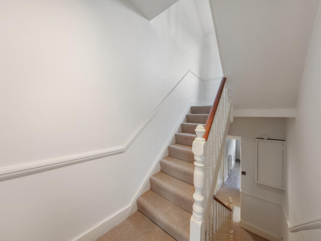
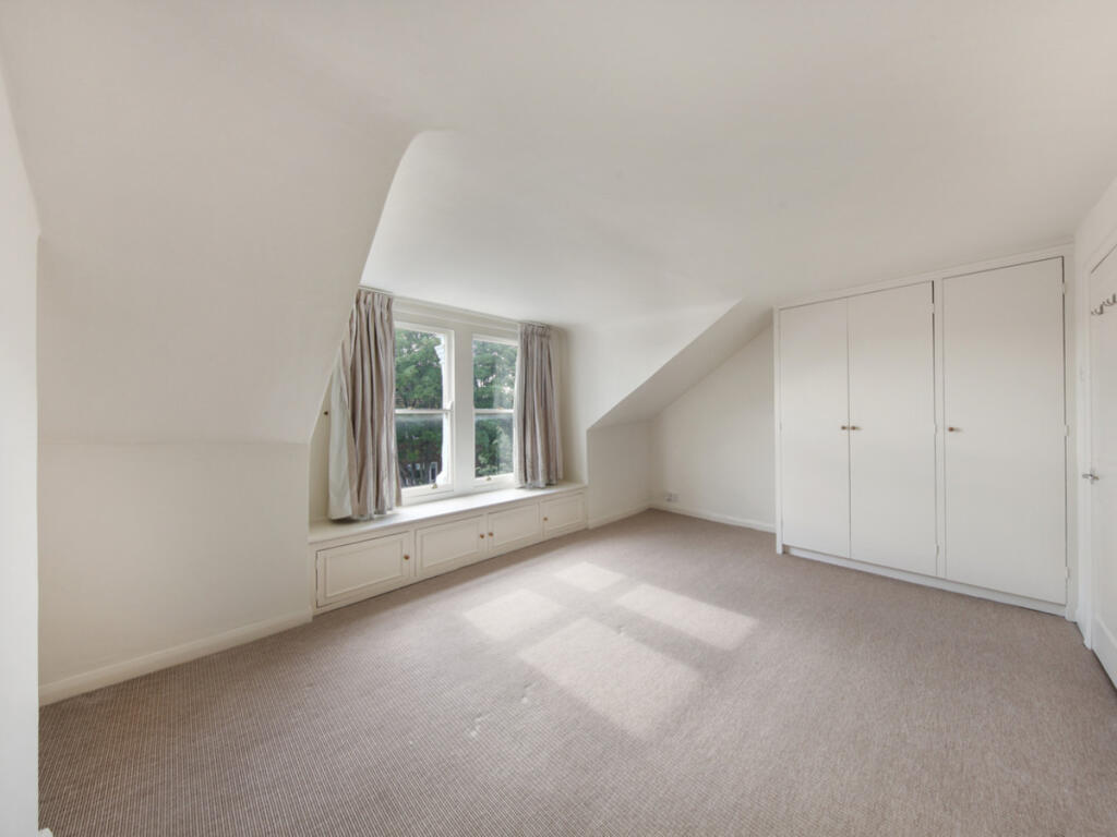
Images


Nearby Streets
| Name | Average Price | Average Sqft | Distance |
|---|---|---|---|
| Cader Road | £ 650,000 | 0 | 0.00 KM |
| Marshall Close | £ 0 | 0 | 0.00 KM |
| Crieff Road | £ 0 | 0 | 0.00 KM |
| Saint Ann's Hill | £ 708,333 | 0 | 0.00 KM |
| Allfarthing Lane | £ 330,000 | 0 | 0.00 KM |
Nearby Transport
| Name | NLC | TLC | Distance |
|---|---|---|---|
| Wandsworth Town | 5576 | WNT | 1.02 KM |
| Earlsfield | 5584 | EAD | 1.21 KM |
| Clapham Junction | 5595 | CLJ | 2.02 KM |
| Wandsworth Common | 5395 | WSW | 2.43 KM |
| Imperial Wharf | 9586 | IMW | 2.49 KM |
Nearby Listings
| Address | Price | Type | Score | Distance |
|---|---|---|---|---|
| Barmouth Road, London, SW18 | £ 3,000 | RENT | Unknown | 0.00 KM |
| Palace Gates Road, Alexandra Park, N22 | £ 1,100 | RENT | Unknown | 0.03 KM |
| Culverley Road, SE6 | £ 1,400 | RENT | Unknown | 0.03 KM |
| Barmouth Road, London, SW18 | £ 3,200 | RENT | Unknown | 0.03 KM |
| Barmouth Road, London, SW18 | £ 2,200 | RENT | Unknown | 0.03 KM |
Nearby Properties
| Address | Price | Distance |
|---|---|---|
| 16 Barmouth Road | £ 420,000 | 0.04 KM |
| 22 Barmouth Road | £ 342,000 | 0.04 KM |
| 14a Barmouth Road | £ 545,000 | 0.04 KM |
| 20 Barmouth Road | £ 337,176 | 0.04 KM |
| 6 Barmouth Road | £ 595,000 | 0.04 KM |