

Upper Boundary Road, Derby
By Martin & Co
£ 525
Martin & Co says ..
EXCELLENT TRANSPORT LINKS - CLOSE TO DERBY ROYAL HOSPITAL AND A38 - SUPER QUICK 4 STEP MOVE IN PROCESS
- Bedrooms
- 3
- Bathrooms
- 3
The heatmap indicates the level of crime in the area. The color of the heatmap indicates the crime severity and recency.
Metrics Year-on-Year
- Average area value
- 350,323.00 £Decreased by 1.18 %
- Average area rental value
- 1,334.00 £/moDecreased by 2.49 %
- Est rental Yield
- 4.57 %Decreased by 1.30 %
- Crime Rate
- 7.00 %Unchanged by 0.00 %
from 354,508.00 £
from 1,368.00 £/mo
from 4.63 %
from 7.00 %
Agent Activity
Martin & Co created the listing.
Nearby Schools
| Name | Type | Ofsted | Distance |
|---|---|---|---|
| Bishop Lonsdale Church Of England Primary School And Nursery | Academy Sponsor Led | Good | 0.46 KM |
| The Bemrose School | Foundation School | Good | 0.62 KM |
| Firs Primary School | Academy Sponsor Led | 0.65 KM | |
| Derby Cathedral School | Free Schools | 0.68 KM | |
| Ashgate Nursery School | Local Authority Nursery School | Good | 0.85 KM |
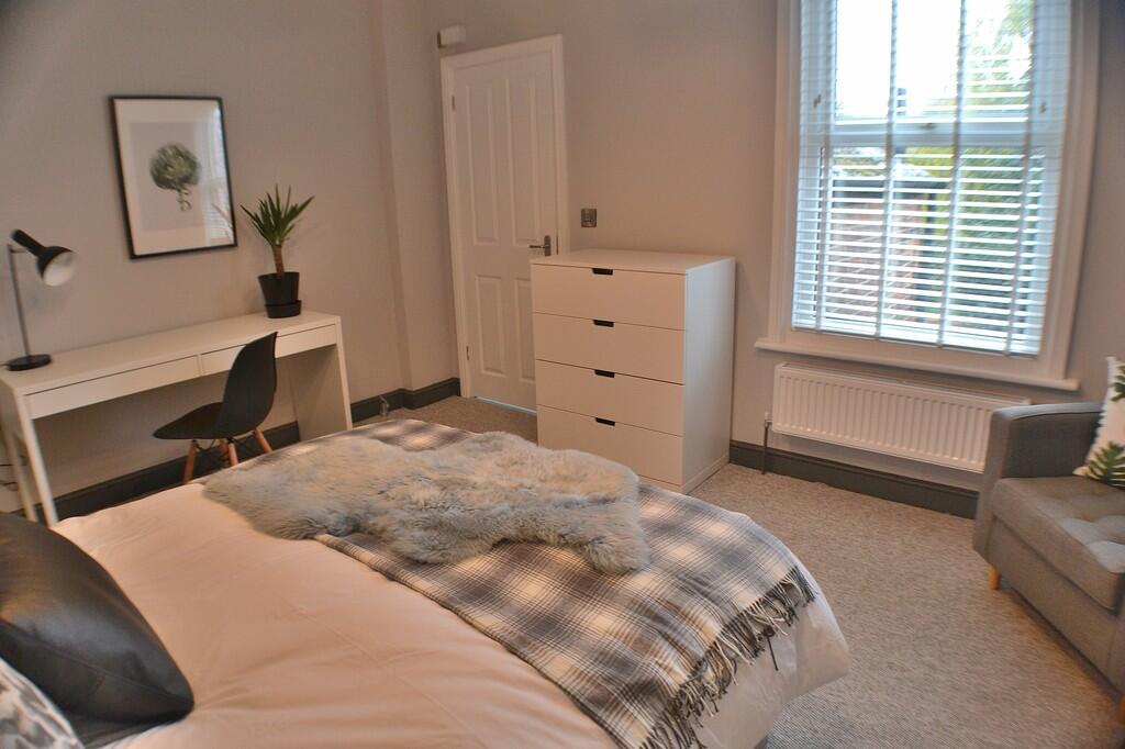
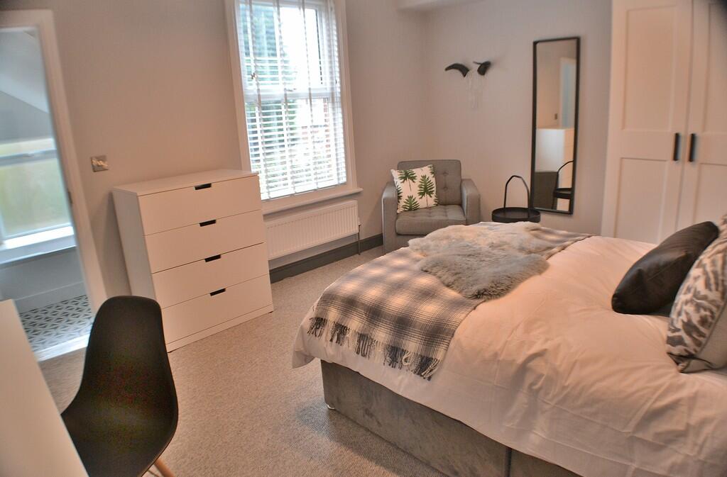
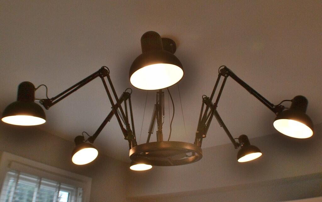
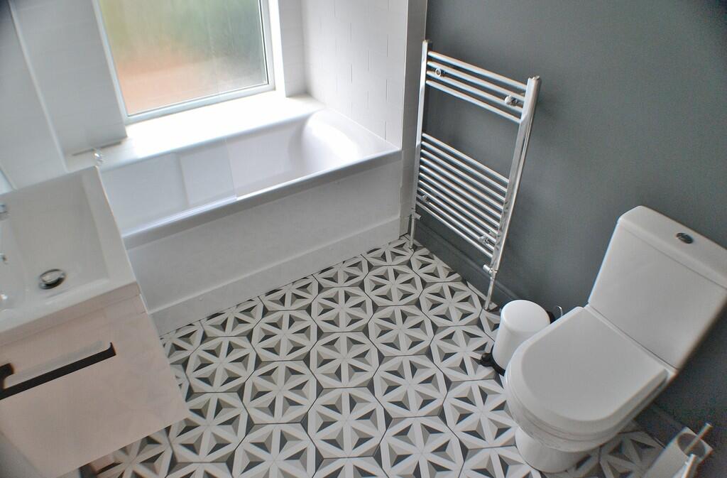
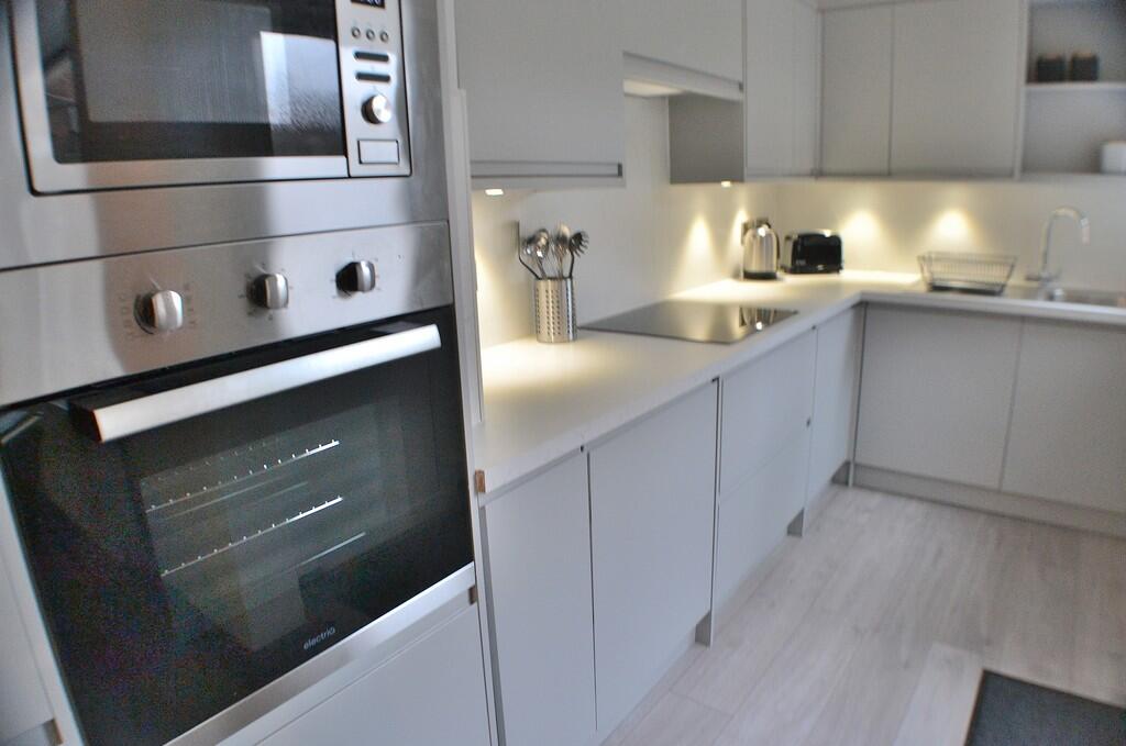
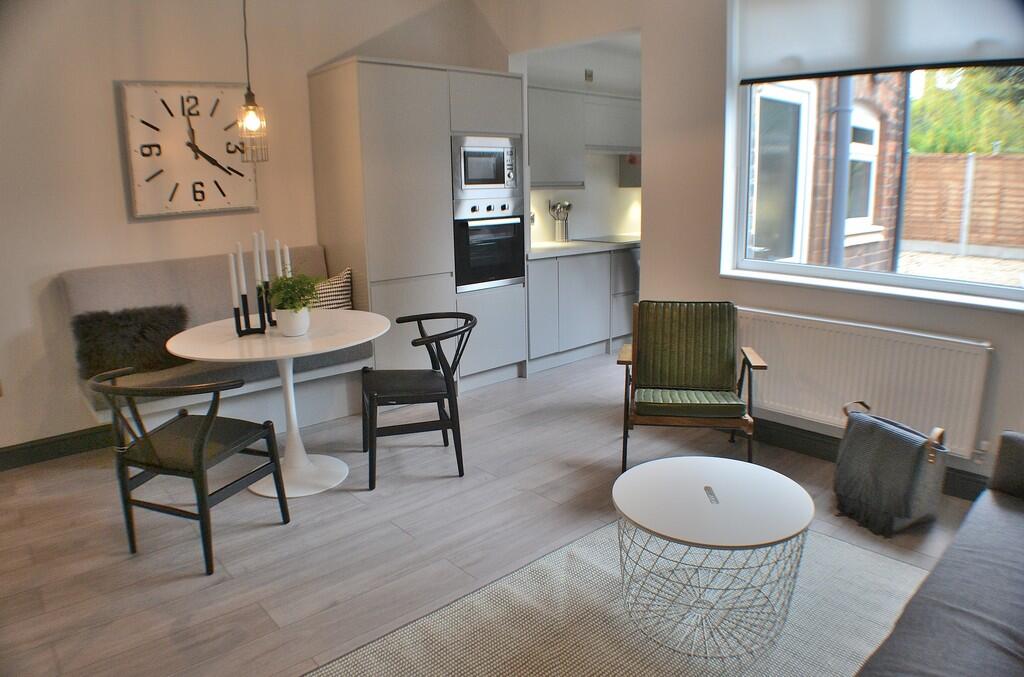
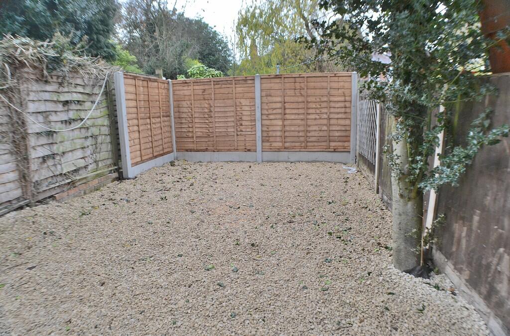
Images


Nearby Streets
| Name | Average Price | Average Sqft | Distance |
|---|---|---|---|
| Boundary Road | £ 140,000 | 0 | 0.00 KM |
| Freehold Street | £ 175,000 | 0 | 0.00 KM |
| Percy Street | £ 0 | 0 | 0.00 KM |
| Stepping Close | £ 0 | 0 | 0.00 KM |
| Summerbrook Court | £ 120,000 | 0 | 0.00 KM |
Nearby Transport
| Name | NLC | TLC | Distance |
|---|---|---|---|
| Peartree | 1687 | PEA | 3.32 KM |
| Derby | 1823 | DBY | 3.58 KM |
| Duffield | 1691 | DFI | 8.05 KM |
| Spondon | 1699 | SPO | 9.38 KM |
Nearby Listings
| Address | Price | Type | Score | Distance |
|---|---|---|---|---|
| Upper Boundary Road, Derby | £ 525 | RENT | Unknown | 0.00 KM |
| Crosby Street, Derby, | £ 400 | RENT | Unknown | 0.01 KM |
| Crosby Street, Derby, | £ 400 | RENT | Unknown | 0.01 KM |
| Crosby Street, Derby, | £ 410 | RENT | Unknown | 0.01 KM |
| Milton Street, Derby, DE22 | £ 950 | RENT | Unknown | 0.03 KM |
Nearby Properties
| Address | Price | Distance |
|---|---|---|
| 40 Crosby Street | £ 250,000 | 0.04 KM |
| 42 Crosby Street | £ 178,000 | 0.04 KM |
| 41 Crosby Street | £ 87,000 | 0.04 KM |
| 3 Crosby Street | £ 64,500 | 0.04 KM |
| 4 Crosby Street | £ 125,000 | 0.04 KM |