MY
Carry Lane, Colne
By My New Street
£ 400,000
My New Street says ..
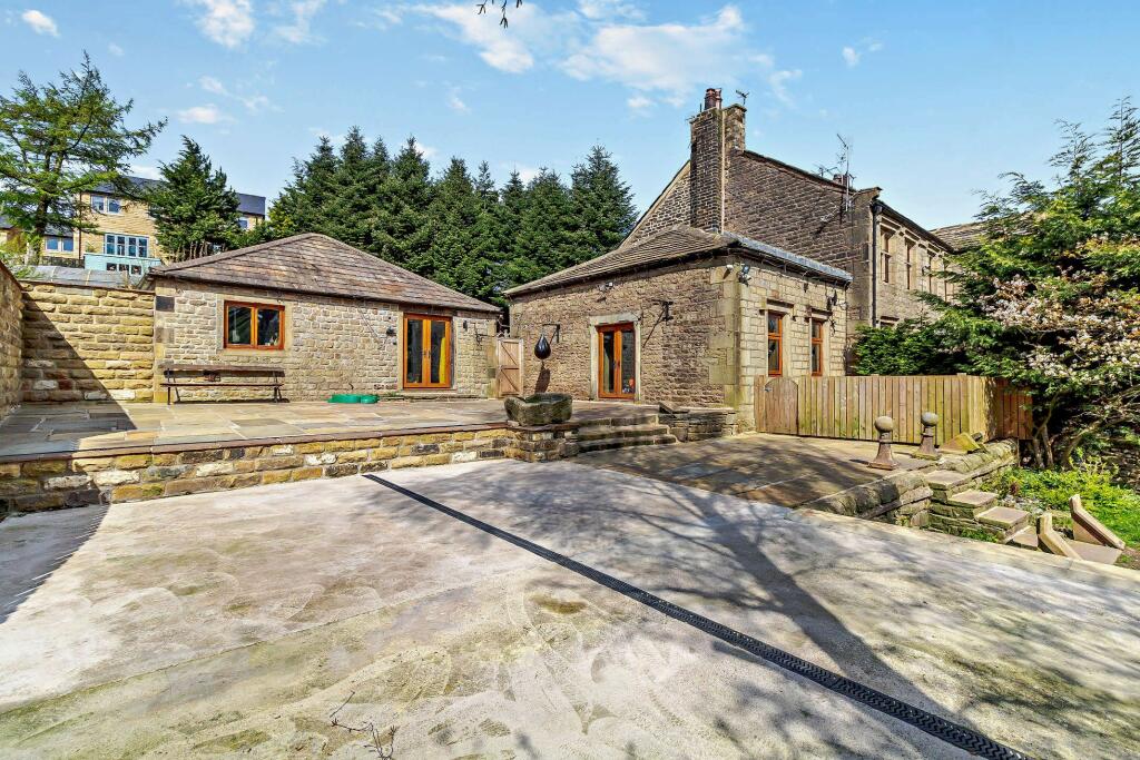
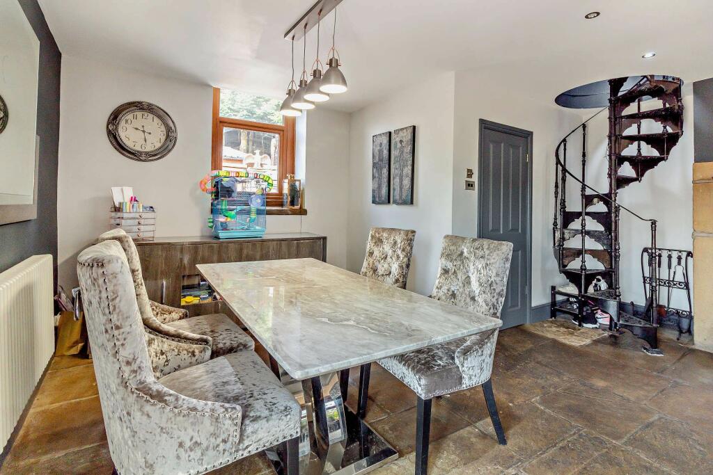
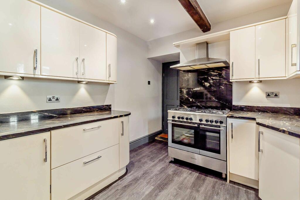
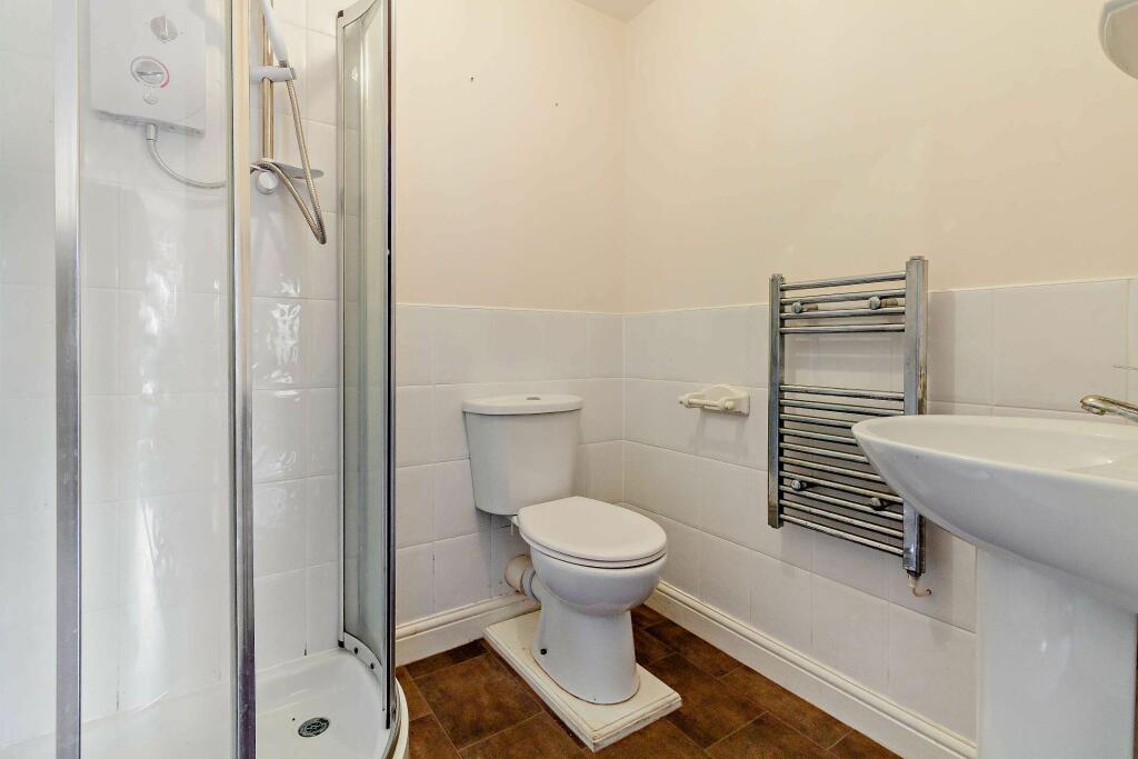
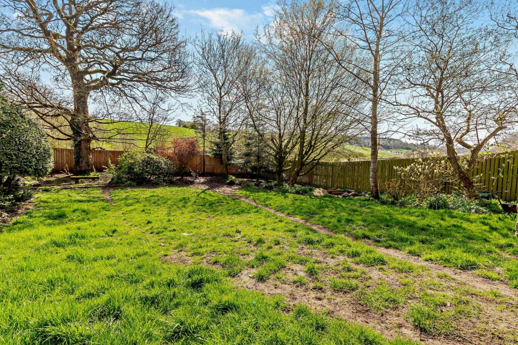
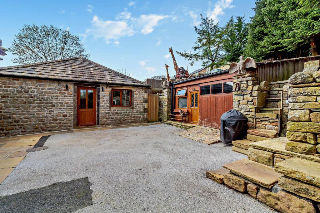
MyNewStreet present this four bedroom semi-detached property for a quick sale.
- Bedrooms
- 4
- Bathrooms
- 2
The heatmap indicates the level of crime in the area. The color of the heatmap indicates the crime severity and recency.
Metrics Year-on-Year
- Average area value
- 190,541.00 £Increased by 16.43 %
- Average area rental value
- 580.00 £/moDecreased by 7.94 %
- Est rental Yield
- 3.65 %Decreased by 21.00 %
- Crime Rate
- 0.00 %
from 163,659.00 £
from 630.00 £/mo
from 4.62 %
from 0.00 %
Agent Activity
My New Street created the listing.
Nearby Schools
| Name | Type | Ofsted | Distance |
|---|---|---|---|
| Newtown Nursery School | Local Authority Nursery School | Good | 0.20 KM |
| Park Primary School | Community School | Good | 0.47 KM |
| West Street Community Primary School | Community School | Good | 0.65 KM |
| Colne Children'S Centre | Children's Centre | 0.97 KM | |
| Colne Park High School | Academy Converter | 1.18 KM |
Images
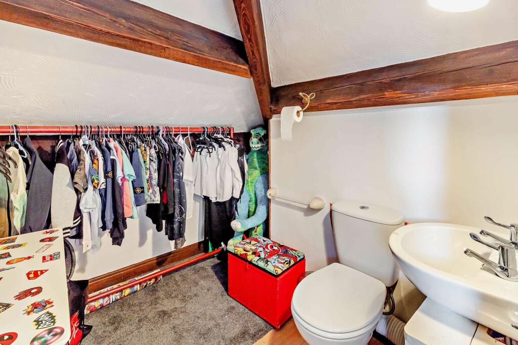
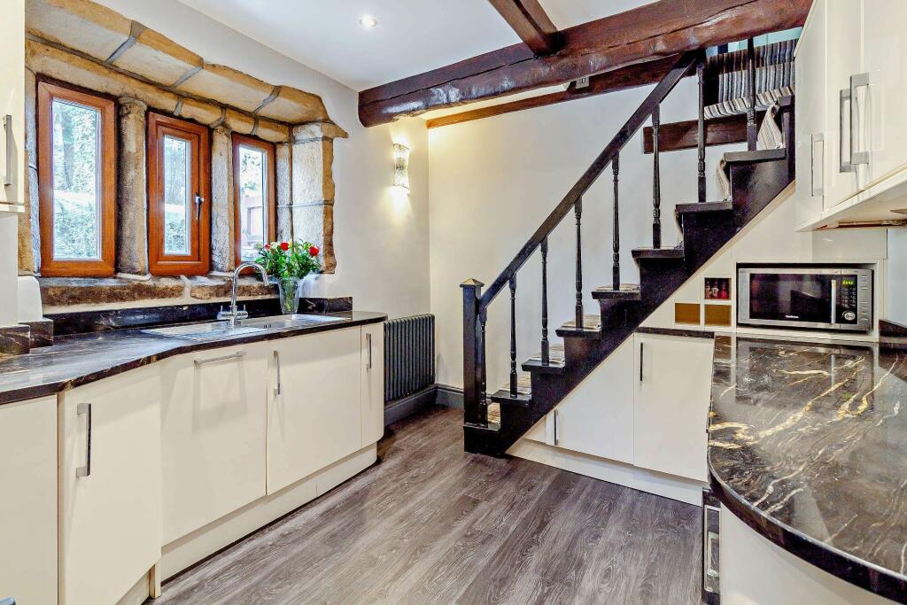

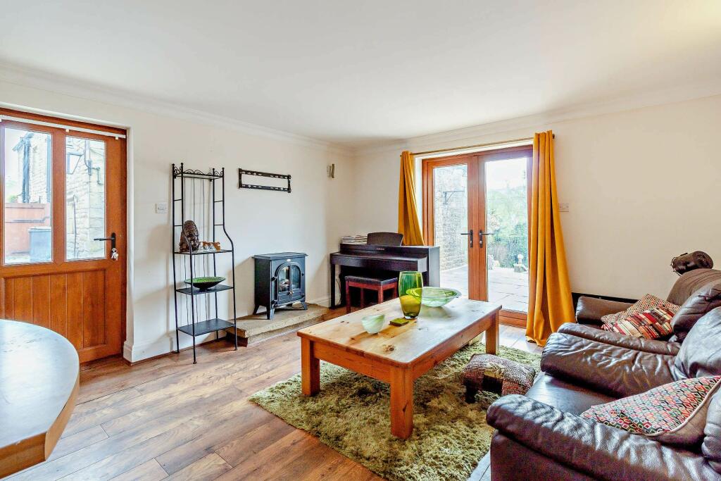
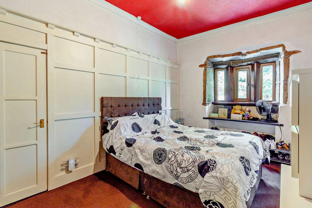
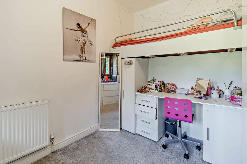
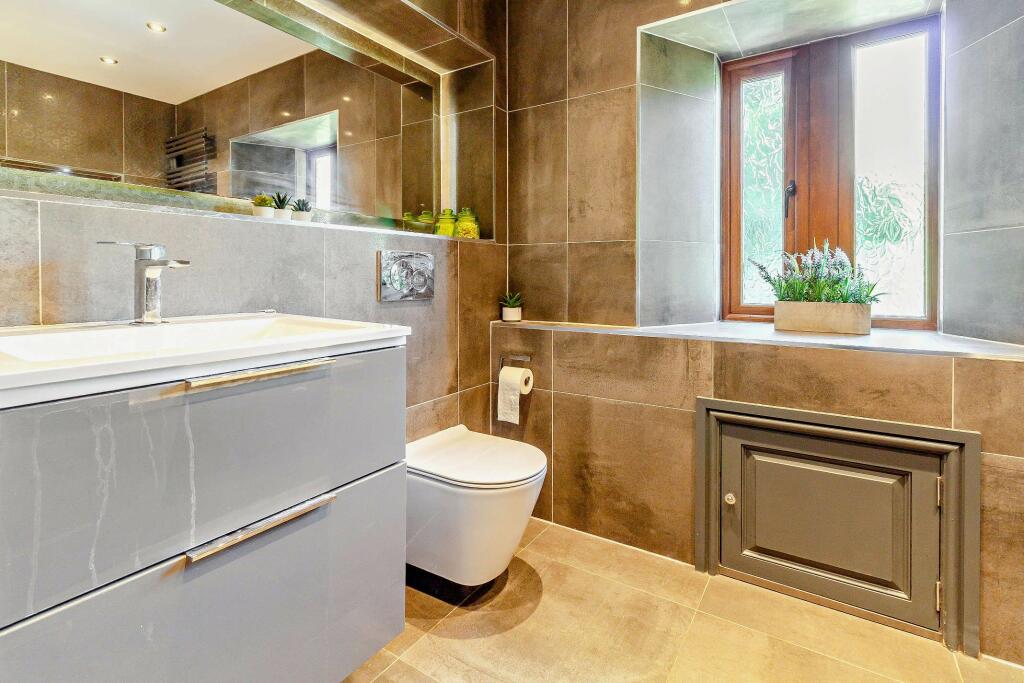
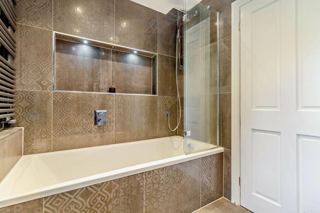
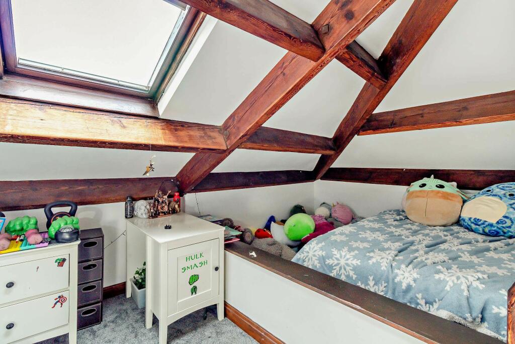
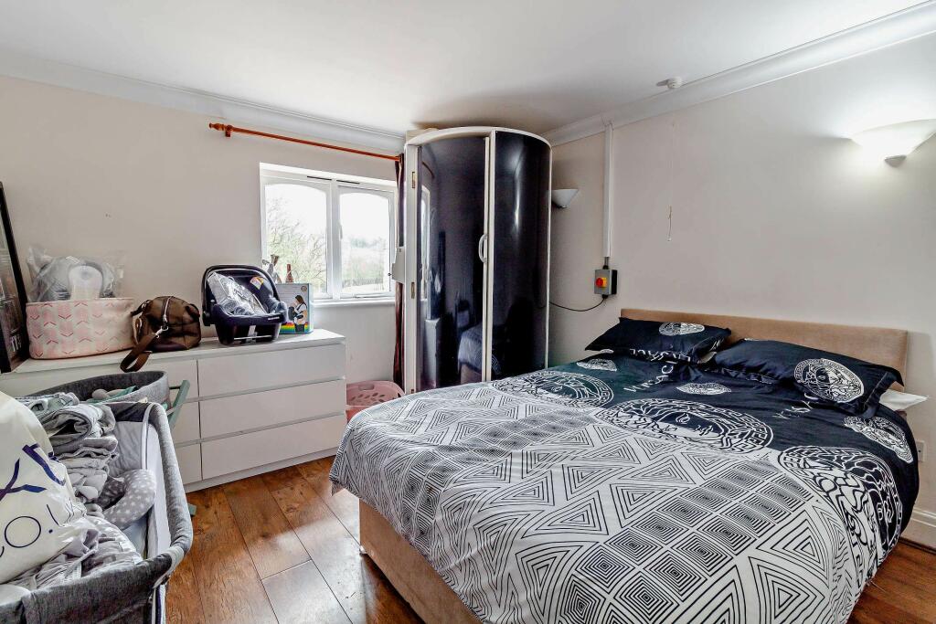
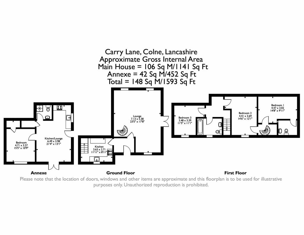
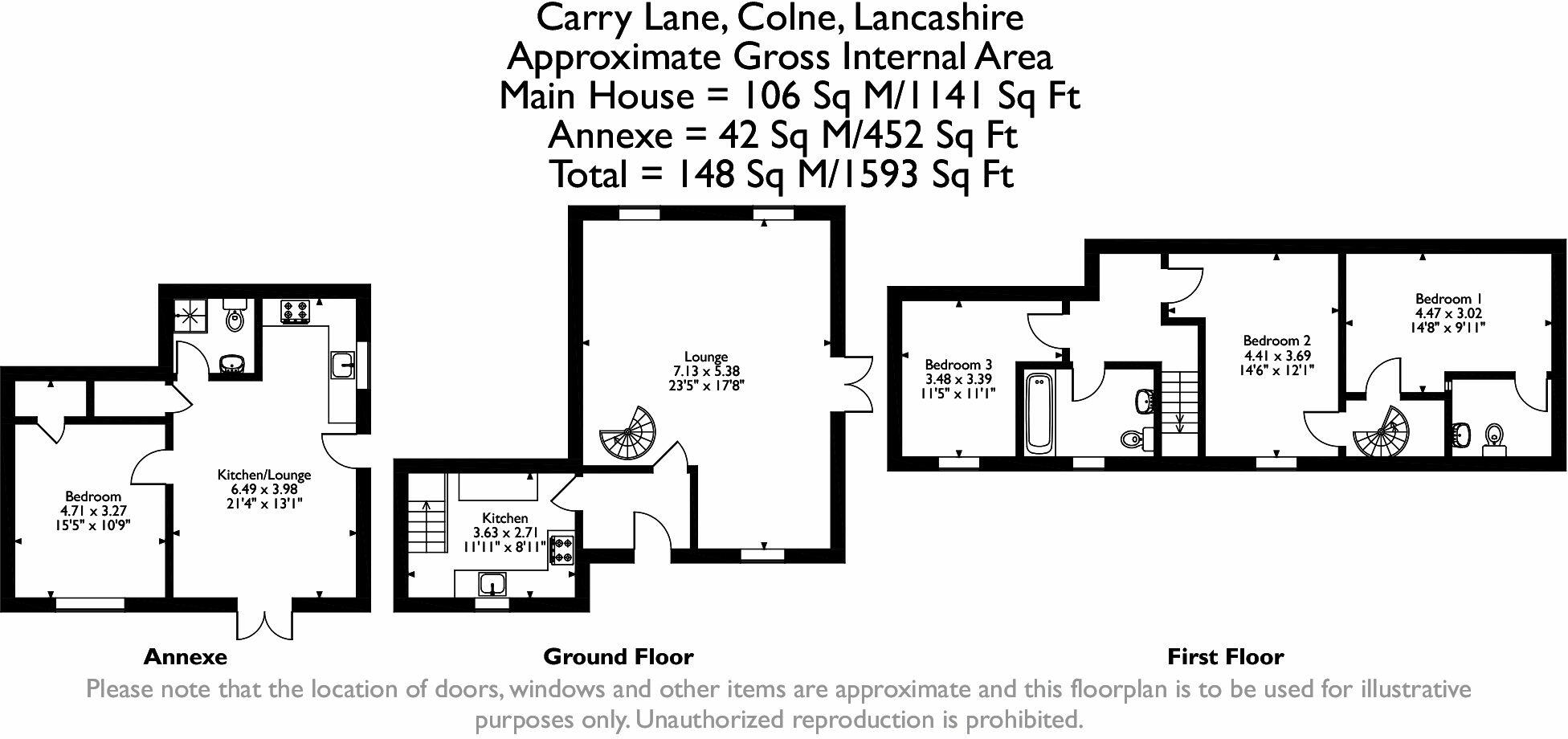
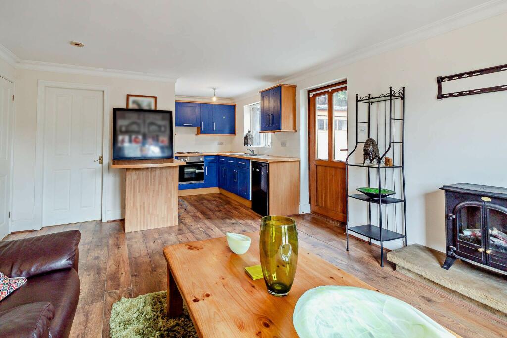

Nearby Streets
| Name | Average Price | Average Sqft | Distance |
|---|---|---|---|
| Matthew Close | £ 0 | 0 | 0.00 KM |
| Bath Street | £ 70,000 | 0 | 0.00 KM |
| Lilac Street | £ 0 | 0 | 0.00 KM |
| Nelson Street | £ 0 | 0 | 0.00 KM |
| Raglan Street | £ 44,000 | 0 | 0.00 KM |
Nearby Transport
| Name | NLC | TLC | Distance |
|---|---|---|---|
| Colne | 2562 | CNE | 2.27 KM |
| Nelson | 2565 | NEL | 6.21 KM |
| Brierfield | 2554 | BRF | 9.00 KM |
Nearby Listings
| Address | Price | Type | Score | Distance |
|---|---|---|---|---|
| Carry Lane, Colne | £ 325,000 | BUY | 7 / 10 | 0.01 KM |
| Diamond Drive, Colne, Lancashire, BB8 | £ 420,000 | BUY | 8 / 10 | 0.11 KM |
| Newtown Street, Colne, Lancashire, BB8 | £ 95,000 | BUY | 5 / 10 | 0.23 KM |
| Newtown Street, Colne, Lancashire, BB8 | £ 105,000 | BUY | 6 / 10 | 0.23 KM |
| Grosvenor Street, Colne | £ 80,000 | BUY | 5 / 10 | 0.24 KM |
Nearby Properties
| Address | Price | Distance |
|---|---|---|
| 7 Newtown Street | £ 57,000 | 0.23 KM |
| 27 Newtown Street | £ 75,000 | 0.23 KM |
| 25 Newtown Street | £ 69,000 | 0.23 KM |
| 11 Grosvenor Street | £ 118,000 | 0.25 KM |
| 19 Grosvenor Street | £ 122,000 | 0.25 KM |