Walking Distance of Hawkhurst Colonnade
By Peter Buswell
£ 515,000
Reviews
4 out of 5 stars
Peter Buswell says ..
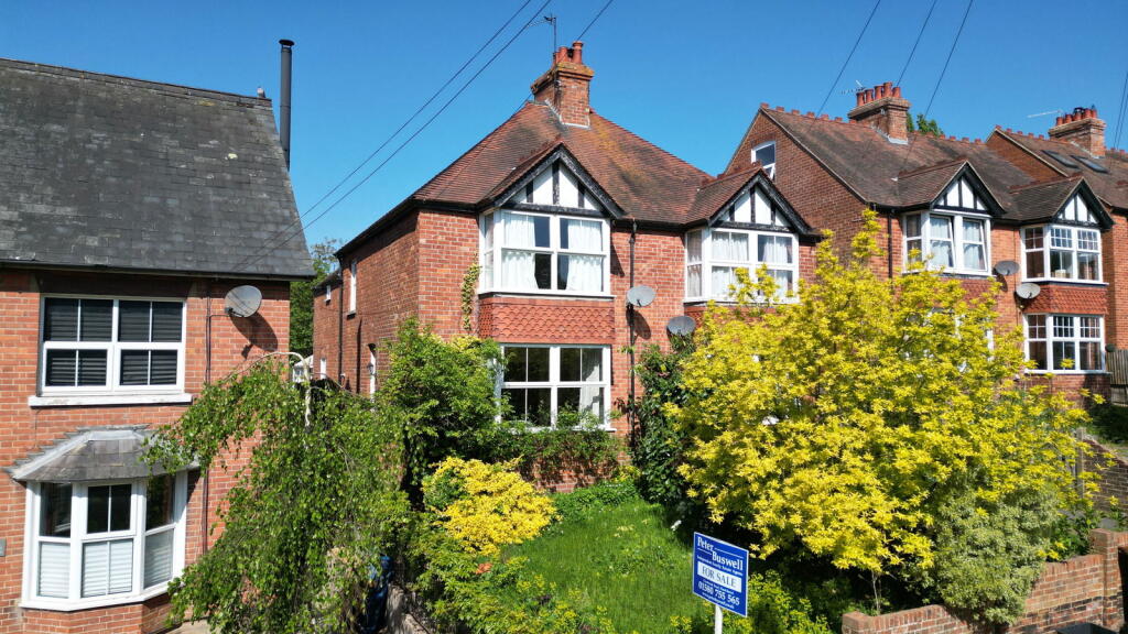
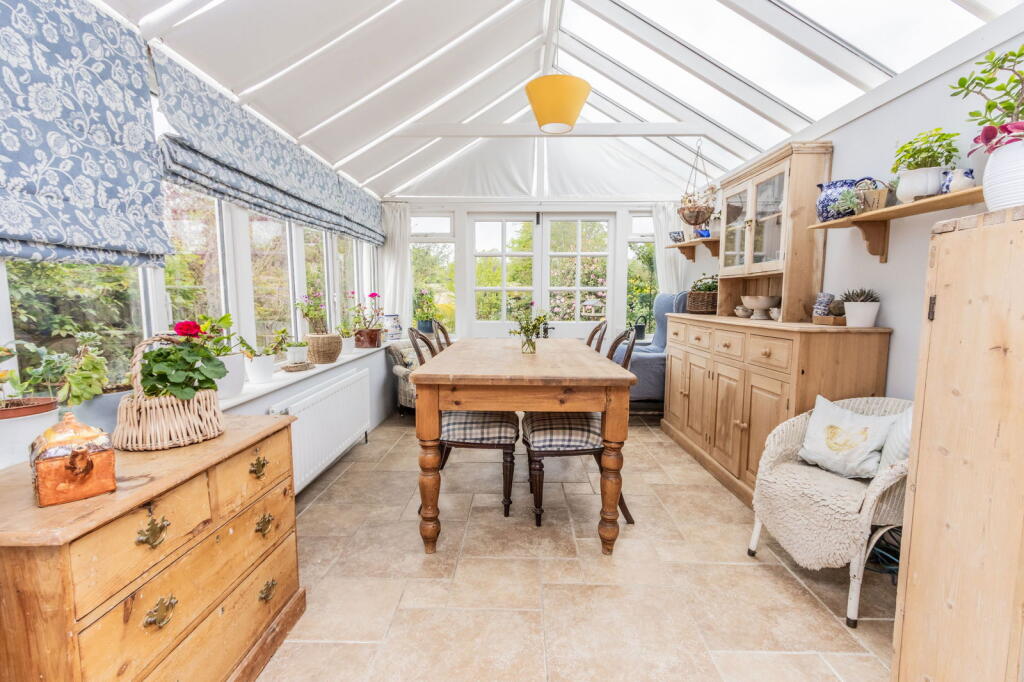
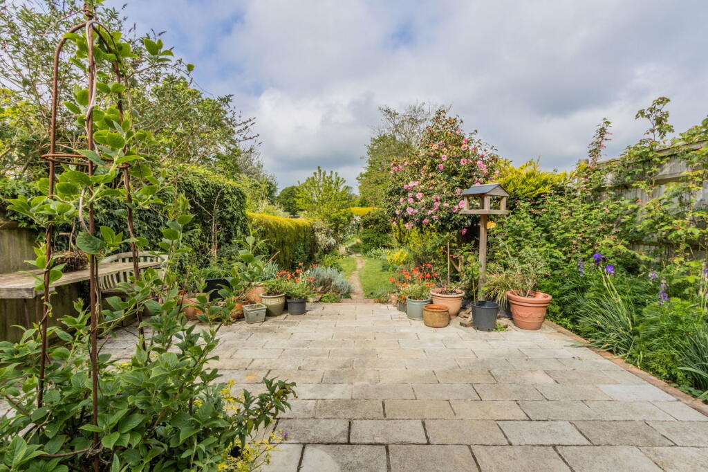
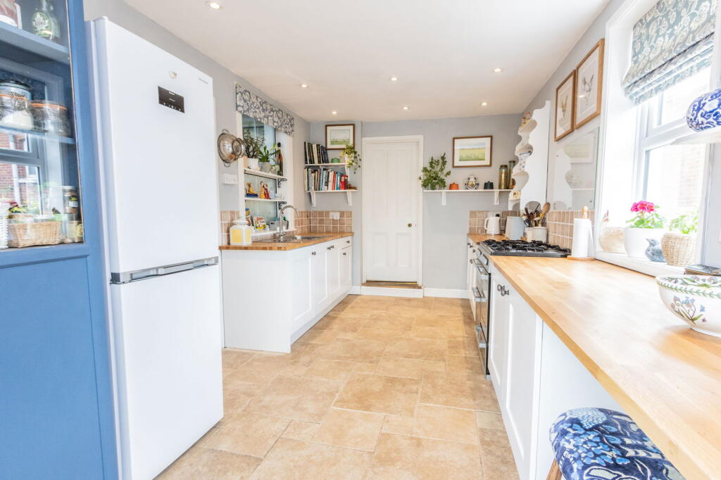
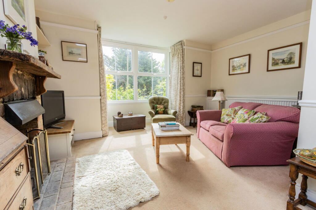
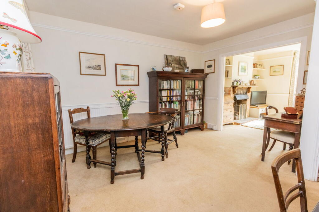
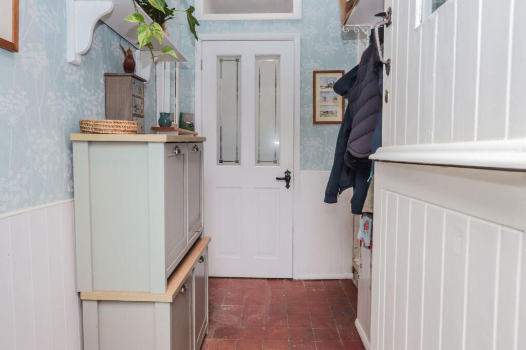
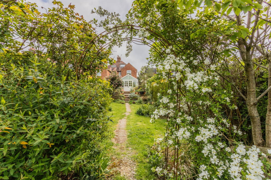
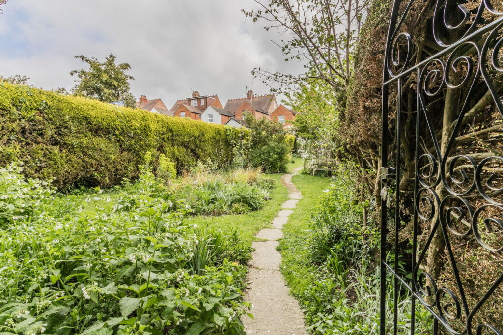
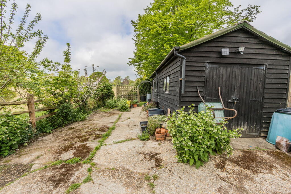
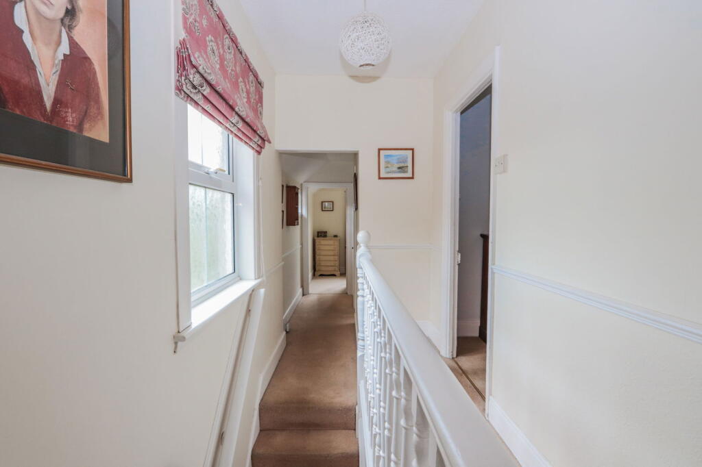
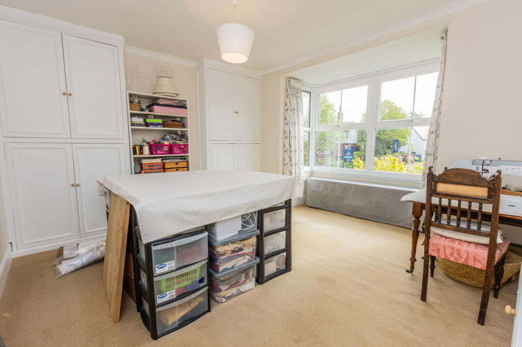
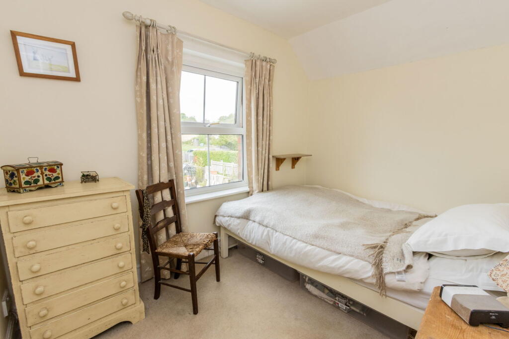
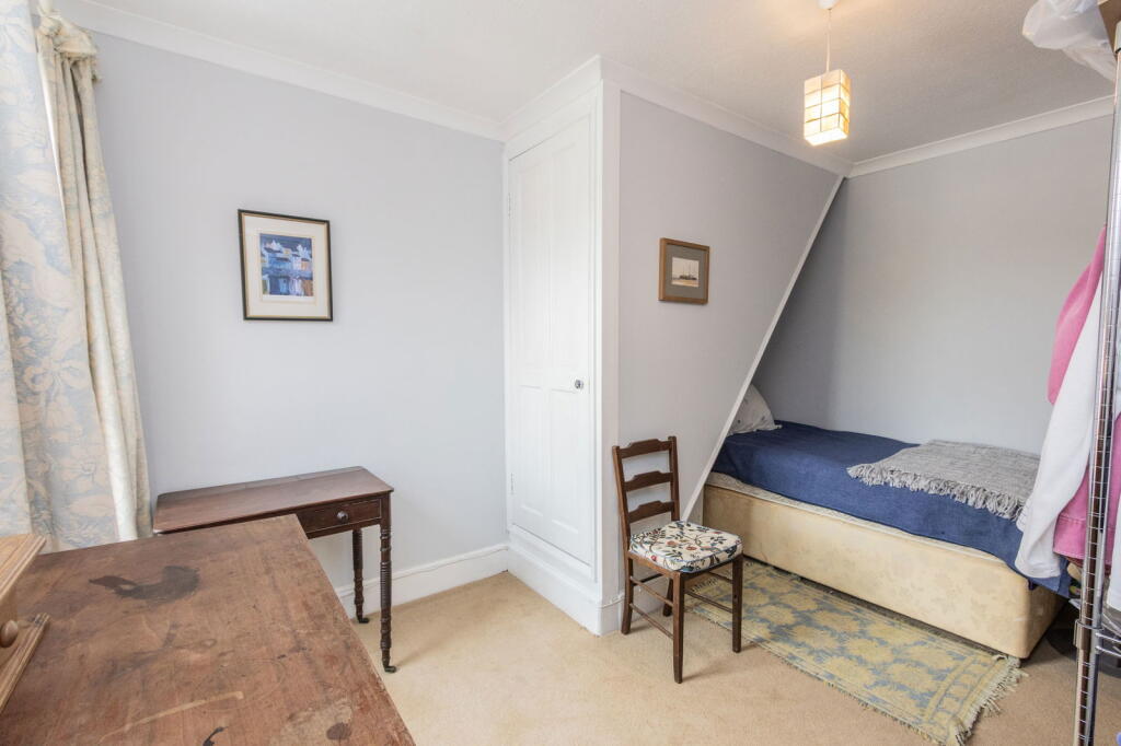
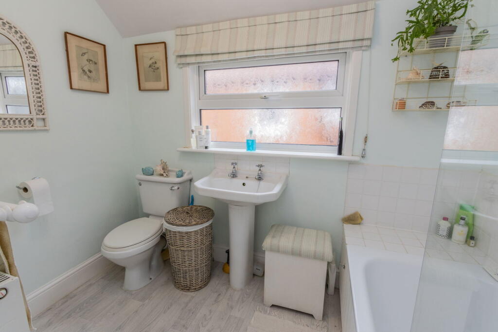
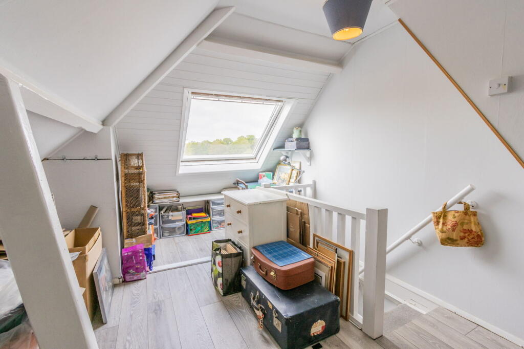
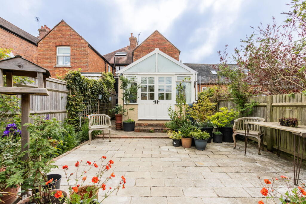
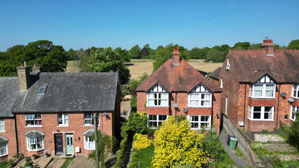
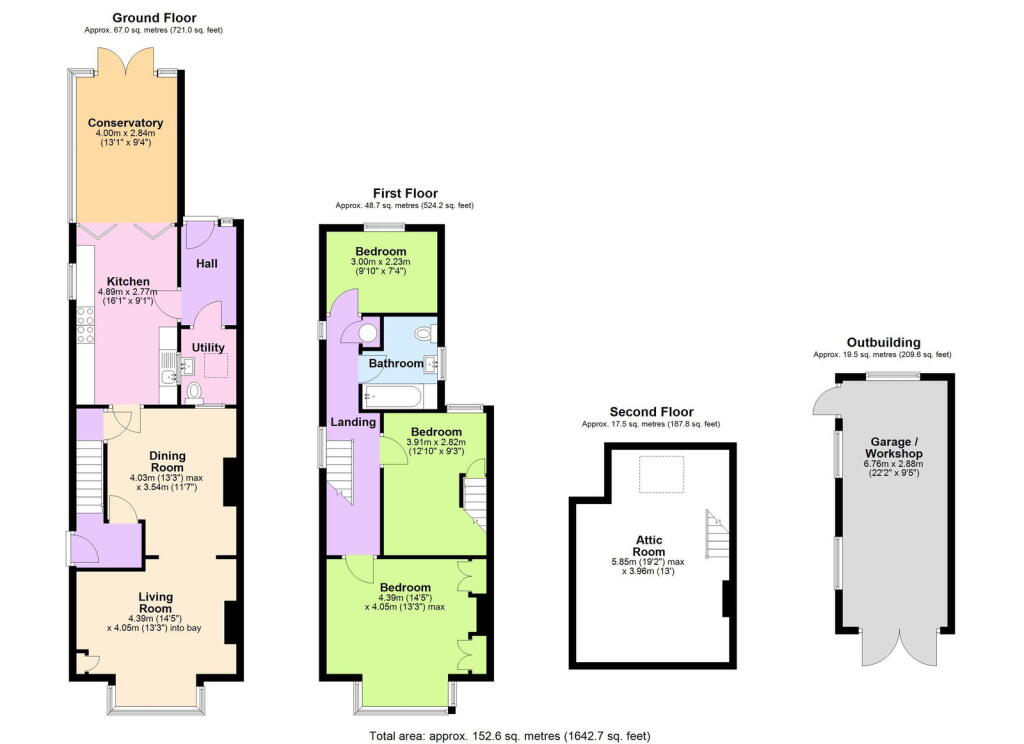
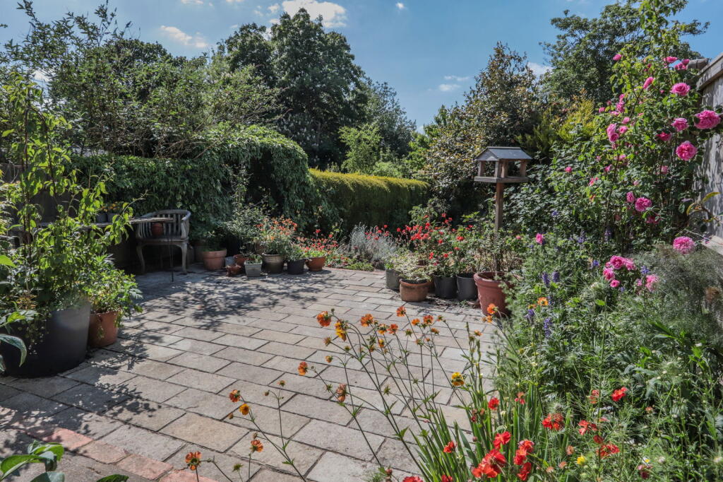
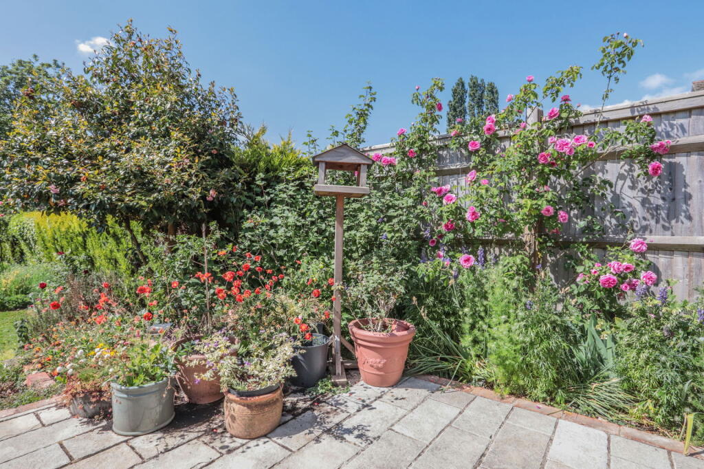
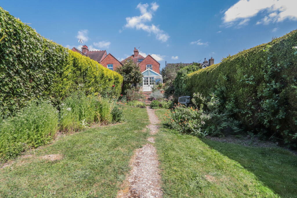
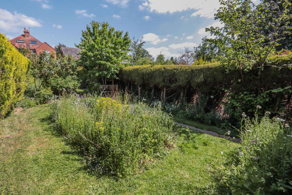
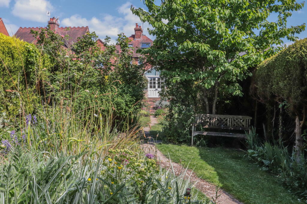
A Victorian semi-detached three bedroom house with generous and well presented accommodation throughout. Enjoy pretty views over the sunny West facing garden from a charming conservatory. Private parking for several vehicles. CSCA
Property Oracle says ..
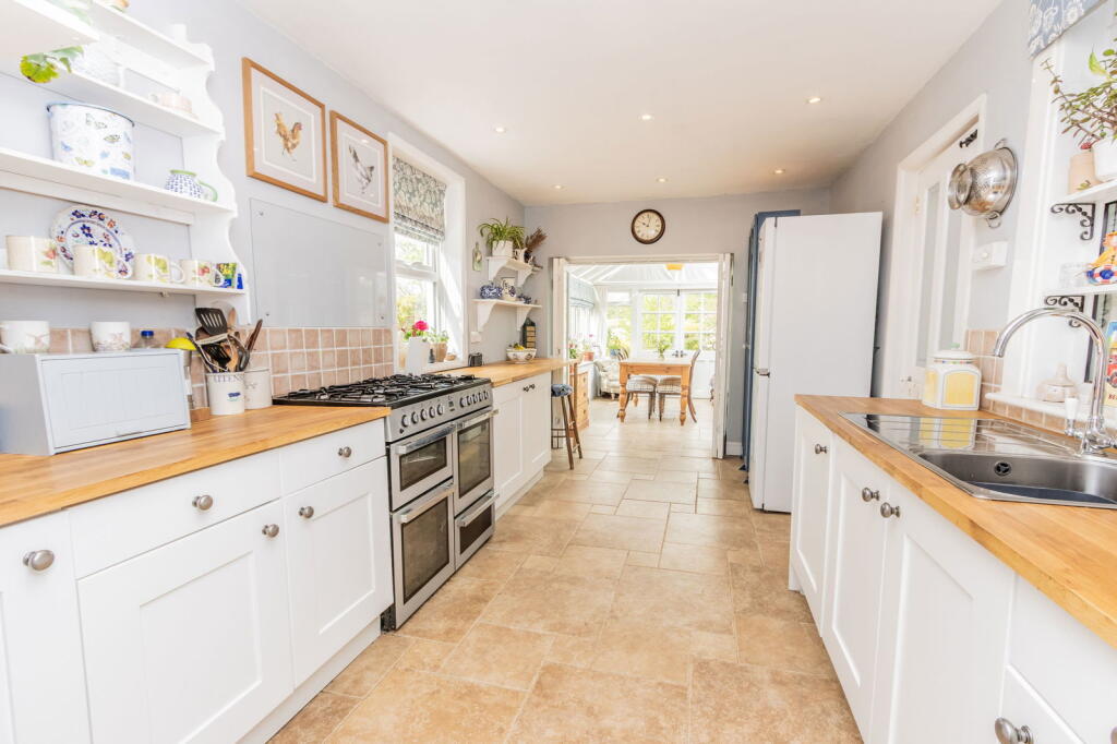
This property is a 3-bedroom semi-detached house located in Hawkhurst, Kent, with a list price of £515,000. The property is within walking distance of Hawkhurst Colonnade and benefits from a good-sized garden and a conservatory. The house appears to be in good condition, with a recently modernised kitchen and bathroom. The average house price in the area is £690,650, significantly higher than the list price of this property. However, the average house size is 1,457 sqft, whereas this property is larger at 1,642.57 sqft. The average price per sqft in the area is £474. While this property’s price per sqft is lower than the average, this is likely due to its slightly smaller plot size compared to other properties in the area. The property’s location is a positive factor, being within walking distance of the colonnade, suggesting proximity to local amenities. The presence of several well-regarded primary schools within a reasonable distance further enhances its appeal to families. The nearby railway stations at Robertsbridge and Etchingham offer convenient access to other areas. Considering the property’s condition, location, and size, the list price of £515,000 appears to be a reasonable price, potentially representing good value for money, especially in comparison to the higher average house prices in the area. The property benefits from a well-maintained garden, adding to its overall appeal.
Therefore, we give this property 8 / 10. *Disclaimer: This is our option and does constitute a recommendation or financial advice. Do your own research. *
- Price
- 8
- Condition
- 8
- Location
- 9
- Land
- 7
- Bedrooms
- 3
- Bathrooms
- 1
- Sqft (est)
- 1,642.57
The heatmap indicates the level of crime in the area. The color of the heatmap indicates the crime severity and recency.
Metrics Year-on-Year
- Average area value
- 786,875.00 £Increased by 13.64 %
- Est sale value
- 937,907.47 £Decreased by 2.89 %
- Average area rental value
- 1,549.00 £/moDecreased by 7.30 %
- Est letting value
- 1,642.57 £/moUnchanged by 0.00 %
- Est rental Yield
- 2.36 %Decreased by 18.62 %
- Crime Rate
- 8.00 %Unchanged by 0.00 %
Agent Activity
Peter Buswell created the listing.
Nearby Schools
| Name | Type | Ofsted | Distance |
|---|---|---|---|
| Hawkhurst Church Of England Primary School | Voluntary Controlled School | Good | 0.96 KM |
| Marlborough House School | Other Independent School | 1.00 KM | |
| St Ronan'S School | Other Independent School | 3.02 KM | |
| Hurst Green Church Of England Primary School And Nursery | Academy Converter | 5.21 KM | |
| Bodiam Church Of England Primary School | Voluntary Controlled School | Good | 5.53 KM |
Images


Nearby Streets
| Name | Average Price | Average Sqft | Distance |
|---|---|---|---|
| Westfield Drive | £ 0 | 0 | 0.00 KM |
| Lorenden Park | £ 295,000 | 0 | 0.00 KM |
| Basden Cottages | £ 360,000 | 0 | 0.00 KM |
Nearby Transport
| Name | NLC | TLC | Distance |
|---|---|---|---|
| Robertsbridge | 5226 | RBR | 7.95 KM |
| Etchingham | 5217 | ETC | 8.22 KM |
Nearby Listings
| Address | Price | Type | Score | Distance |
|---|---|---|---|---|
| Walking Distance of Hawkhurst Colonnade | £ 515,000 | BUY | 8 / 10 | 0.00 KM |
| Weavers House, Highgate Hill, Hawkhurst, Cranbrook, TN18 | £ 459,995 | BUY | 7 / 10 | 0.02 KM |
| Weavers House, Highgate Hill, Hawkhurst, Cranbrook, TN18 | £ 393,995 | BUY | 6 / 10 | 0.02 KM |
| Available With No Onward Chain In Hawkhurst | £ 525,000 | BUY | 7 / 10 | 0.07 KM |
| Luxurious Ground Floor New Retirement Apartment In Hawkhurst | £ 435,000 | BUY | 6 / 10 | 0.11 KM |
Nearby Properties
| Address | Price | Distance |
|---|---|---|
| 9 Highgate Hill | £ 290,000 | 0.00 KM |
| 8 Highgate Hill | £ 290,000 | 0.00 KM |
| Mouse Hall | £ 245,000 | 0.00 KM |
| Toad Hall | £ 345,000 | 0.00 KM |
| 7 Highgate Hill | £ 320,000 | 0.00 KM |