PE
Church Road, Upper Norwood, London, SE19
By Pedder
£ 2,200
Pedder says ..
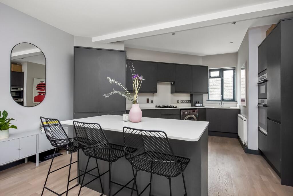
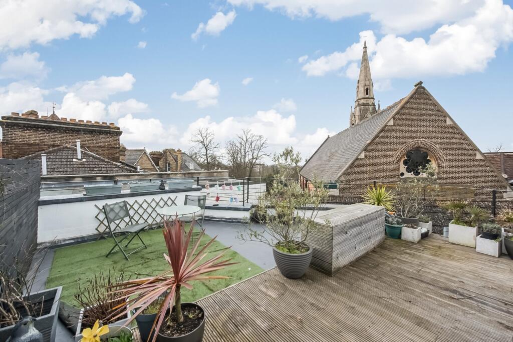
A stunning two double bedroom top floor period conversion centrally positioned in Crystal Palace and moments from transport links and amenities.
- Bedrooms
- 2
- Bathrooms
- 1
The heatmap indicates the level of crime in the area. The color of the heatmap indicates the crime severity and recency.
Metrics Year-on-Year
- Average area value
- 455,333.00 £Decreased by 15.67 %
- Average area rental value
- 1,777.00 £/moDecreased by 9.52 %
- Est rental Yield
- 4.68 %Increased by 7.09 %
- Crime Rate
- 14.00 %Unchanged by 0.00 %
from 539,913.00 £
from 1,964.00 £/mo
from 4.37 %
from 14.00 %
Agent Activity
Pedder created the listing.
Nearby Schools
| Name | Type | Ofsted | Distance |
|---|---|---|---|
| Paxton Primary School | Community School | Outstanding | 0.47 KM |
| Harris City Academy Crystal Palace | Academy Sponsor Led | Outstanding | 0.81 KM |
| All Saints Cofe Primary School | Voluntary Aided School | Good | 0.88 KM |
| Rockmount Primary School | Community School | Outstanding | 1.01 KM |
| Cypress Primary School | Academy Sponsor Led | Good | 1.10 KM |
Images
Nearby Streets
| Name | Average Price | Average Sqft | Distance |
|---|---|---|---|
| Tudor Road | £ 0 | 0 | 0.00 KM |
| Woodland Road | £ 497,857 | 0 | 0.00 KM |
| Crystal Palace Parade | £ 650,000 | 0 | 0.00 KM |
| Bowley Close | £ 0 | 0 | 0.00 KM |
| Belvedere Road | £ 0 | 0 | 0.00 KM |
Nearby Transport
| Name | NLC | TLC | Distance |
|---|---|---|---|
| Gipsy Hill | 5363 | GIP | 0.82 KM |
| Crystal Palace | 5356 | CYP | 0.91 KM |
| Sydenham Hill | 5085 | SYH | 1.67 KM |
| Anerley | 5397 | ANZ | 1.77 KM |
| Penge West | 5378 | PNW | 2.21 KM |
Nearby Listings
| Address | Price | Type | Score | Distance |
|---|---|---|---|---|
| Westow Street, Crystal Palace, London, SE19 | £ 1,750 | RENT | Unknown | 0.10 KM |
| Crystal Palace Triangle | £ 1,550 | RENT | Unknown | 0.15 KM |
| 15 Lansdowne Place, Crystal Palace | £ 1,500 | RENT | Unknown | 0.15 KM |
| Belvedere Road, Crystal Palace, London, SE19 | £ 1,300 | RENT | Unknown | 0.17 KM |
| St Aubyn's Road, Crystal Palace | £ 1,500 | RENT | Unknown | 0.17 KM |
Nearby Properties
| Address | Price | Distance |
|---|---|---|
| 52a Church Road | £ 700,000 | 0.01 KM |
| 78b Church Road | £ 84,000 | 0.01 KM |
| 82c Church Road | £ 187,000 | 0.01 KM |
| 78h Church Road | £ 240,000 | 0.01 KM |
| 78d Church Road | £ 220,000 | 0.01 KM |