AD
Holt Road, L7 2PR,
By Address Properties
£ 145
Address Properties says ..
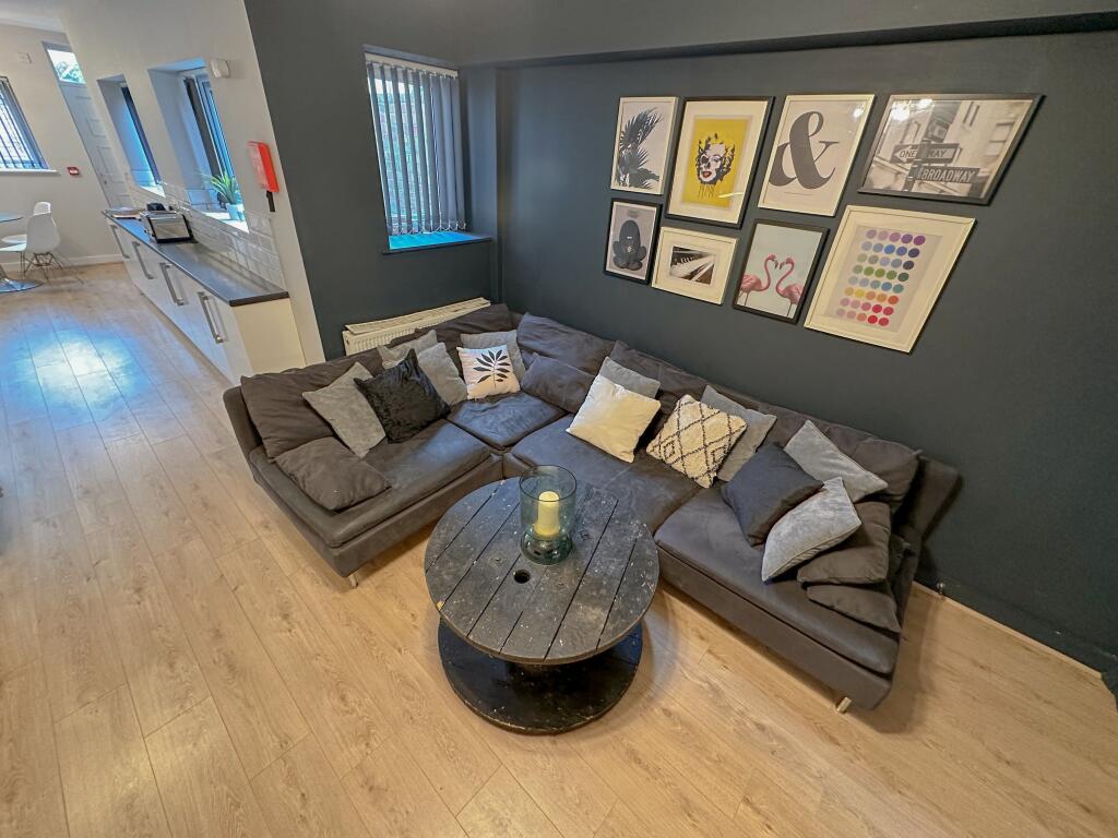
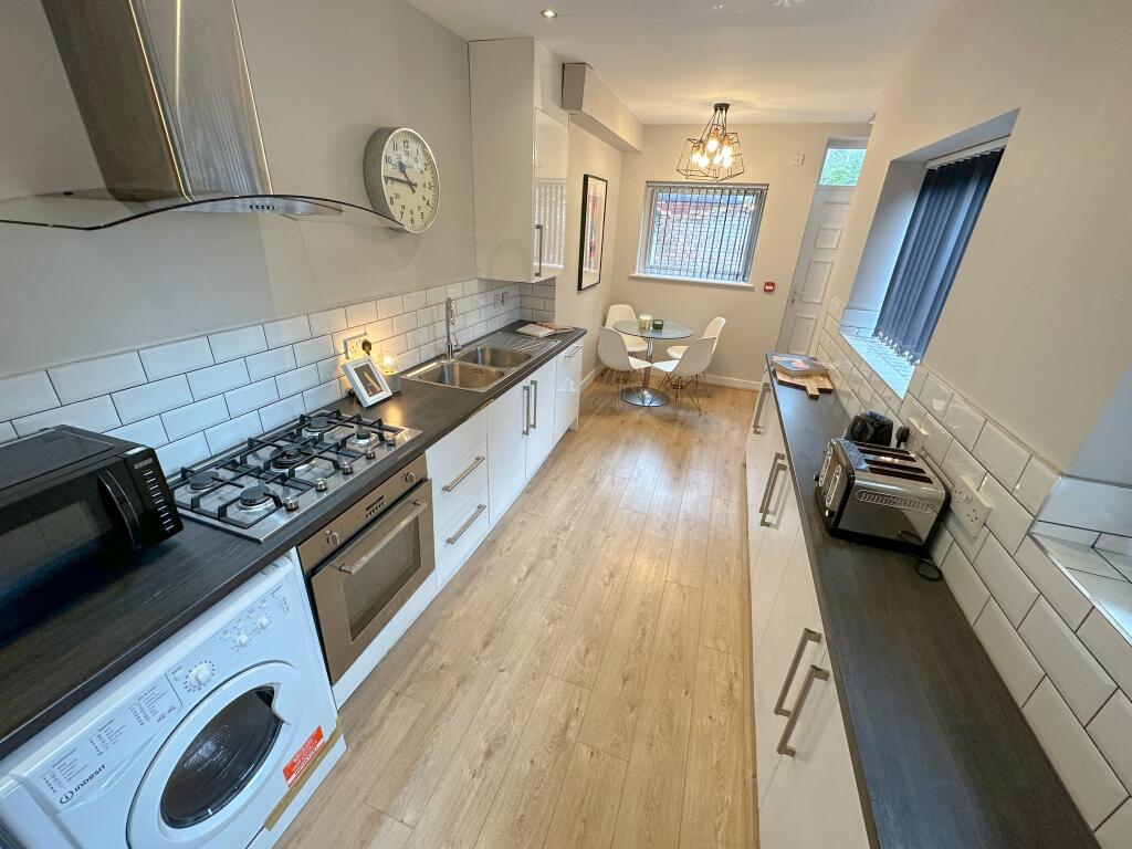
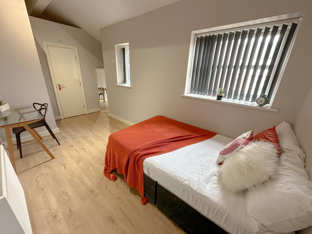
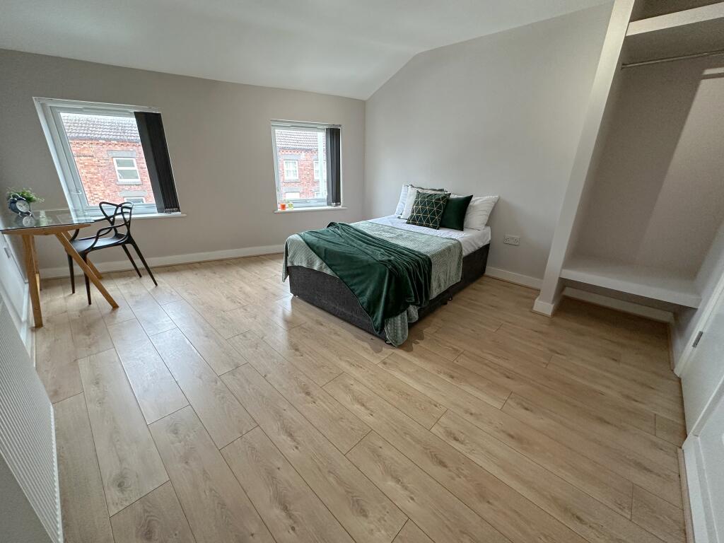
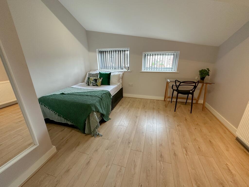
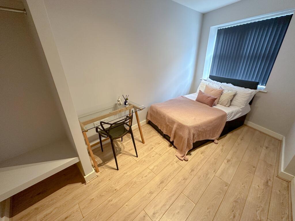
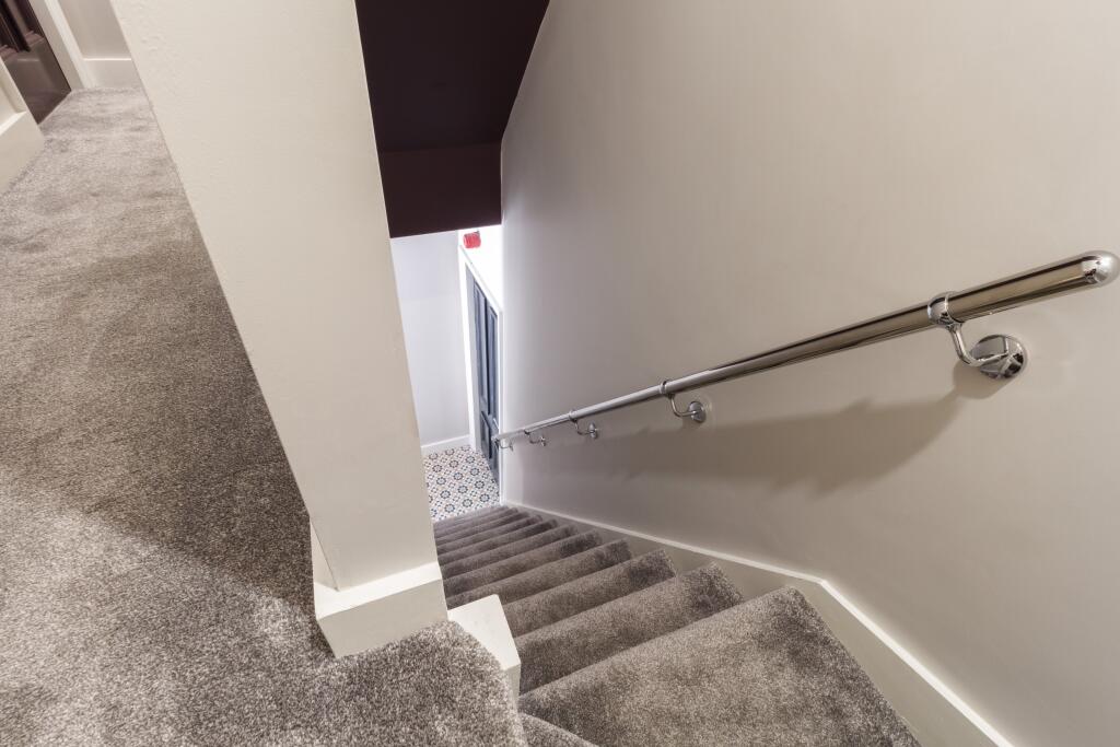
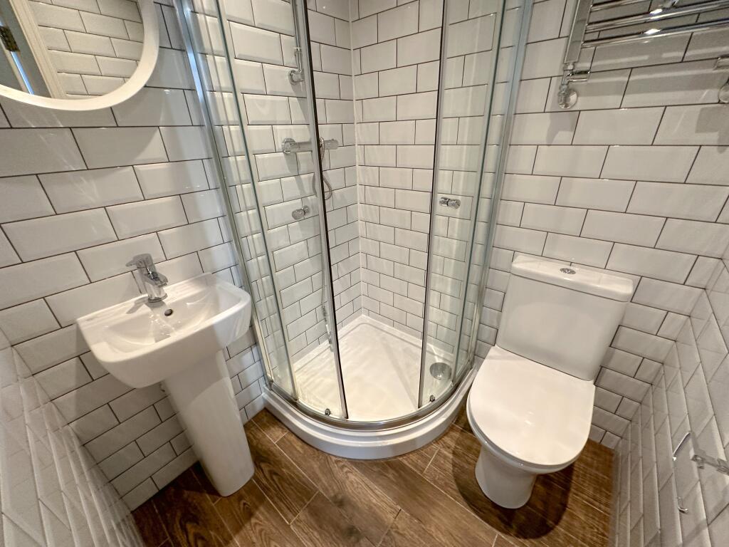
£145 PPW - AVAILABLE FOR THE 26/27 ACADEMIC YEAR - MODERN 6 BEDROOM PROPERTY WITH EN-SUITES - AFFORDABLE, AND PERFECTLY LOCATED
- Bedrooms
- 6
- Bathrooms
- 6
The heatmap indicates the level of crime in the area. The color of the heatmap indicates the crime severity and recency.
Metrics Year-on-Year
- Average area value
- 152,494.00 £Decreased by 1.22 %
- Average area rental value
- 782.00 £/moIncreased by 10.92 %
- Est rental Yield
- 6.15 %Increased by 12.23 %
- Crime Rate
- 6.00 %Unchanged by 0.00 %
from 154,370.00 £
from 705.00 £/mo
from 5.48 %
from 6.00 %
Agent Activity
Address Properties created the listing.
Nearby Schools
| Name | Type | Ofsted | Distance |
|---|---|---|---|
| Kensington Primary School | Community School | Good | 0.23 KM |
| Kensington Children'S Centre (Life Bank) | Children's Centre | 0.28 KM | |
| Harmonize Academy Ap Free School | Free Schools Alternative Provision | Outstanding | 0.37 KM |
| Marydale Lodge Sch | Secure Units | 0.57 KM | |
| New Park Primary School | Academy Converter | 0.79 KM |
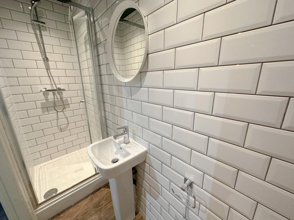
Images


Nearby Streets
| Name | Average Price | Average Sqft | Distance |
|---|---|---|---|
| Botanic Grove | £ 0 | 0 | 0.00 KM |
| Bremner Close | £ 0 | 0 | 0.00 KM |
| Crosfield Close | £ 350,000 | 0 | 0.00 KM |
| Geneva Road | £ 230,000 | 0 | 0.00 KM |
| Gladstone Road | £ 0 | 0 | 0.00 KM |
Nearby Transport
| Name | NLC | TLC | Distance |
|---|---|---|---|
| Edge Hill | 2169 | EDG | 0.85 KM |
| Wavertree Technology Park | 8589 | WAV | 2.81 KM |
| Liverpool Lime Street | 2246 | LIV | 3.32 KM |
| Liverpool Central | 2242 | LVC | 3.52 KM |
| St Michaels | 2248 | STM | 3.88 KM |
Nearby Listings
| Address | Price | Type | Score | Distance |
|---|---|---|---|---|
| Holt Road, L7 2PR, | £ 145 | RENT | Unknown | 0.00 KM |
| Holt Road, L7 2PR, | £ 125 | RENT | Unknown | 0.00 KM |
| Holt Road, L7 2PR, | £ 125 | RENT | Unknown | 0.00 KM |
| Holt Road, L7 2PR, | £ 115 | RENT | Unknown | 0.00 KM |
| Holt Road, L7 2PR, | £ 130 | RENT | Unknown | 0.00 KM |
Nearby Properties
| Address | Price | Distance |
|---|---|---|
| 23 Holt Road | £ 76,000 | 0.04 KM |
| 33 Holt Road | £ 20,000 | 0.04 KM |
| 39 Holt Road | £ 22,000 | 0.04 KM |
| 27 Holt Road | £ 37,000 | 0.04 KM |
| 1 Dell Street | £ 74,000 | 0.05 KM |