RE
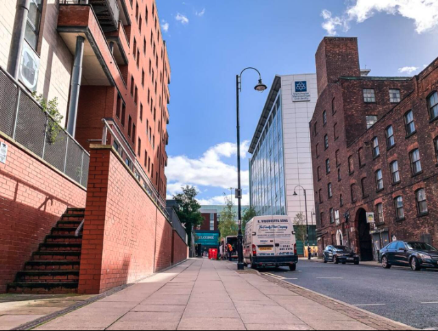
Lower Ormond Street, Manchester, Greater Manchester, M1
By Rent For Me
£ 1,575
Rent For Me says ..
AVAILABLE IN OCTOBER | 50% SUMMER RENT | STUDENT FRIENDLY
- Bedrooms
- 2
- Bathrooms
- 2
The heatmap indicates the level of crime in the area. The color of the heatmap indicates the crime severity and recency.
Metrics Year-on-Year
- Average area value
- 377,234.00 £Increased by 17.59 %
- Average area rental value
- 1,954.00 £/moIncreased by 12.69 %
- Est rental Yield
- 6.22 %Decreased by 4.16 %
- Crime Rate
- 1.00 %Unchanged by 0.00 %
from 320,811.00 £
from 1,734.00 £/mo
from 6.49 %
from 1.00 %
Agent Activity
Rent For Me created the listing.
Nearby Schools
| Name | Type | Ofsted | Distance |
|---|---|---|---|
| The Manchester Metropolitan University | Higher Education Institutions | Outstanding | 0.26 KM |
| St Philip'S Church Of England Primary School | Voluntary Aided School | Good | 0.61 KM |
| Royal Northern College Of Music | Higher Education Institutions | 0.62 KM | |
| Martenscroft Nursery School & Children'S Centre | Local Authority Nursery School | Outstanding | 0.71 KM |
| Martenscroft Nursery School And Sure Start Children'S Centre | Children's Centre | 0.71 KM |
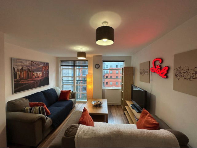
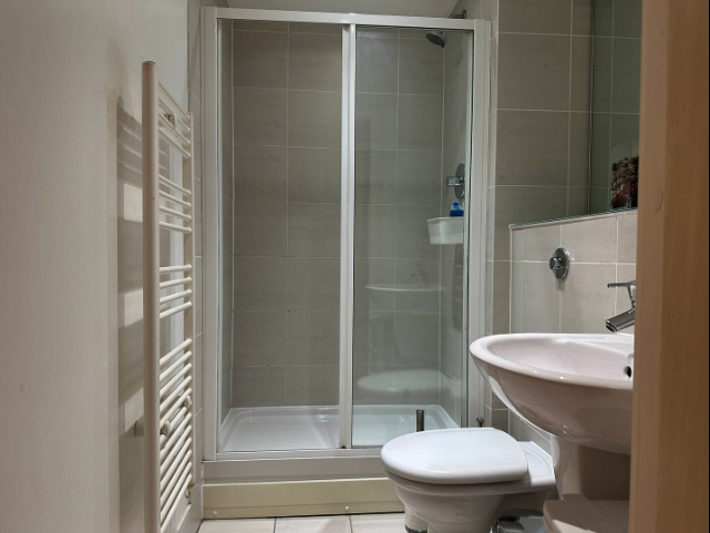
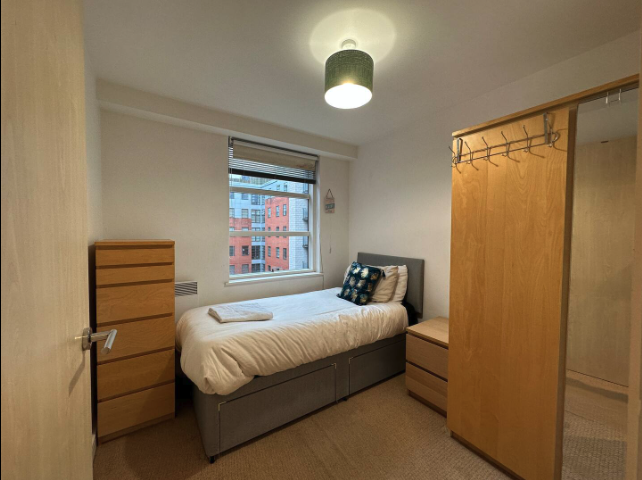
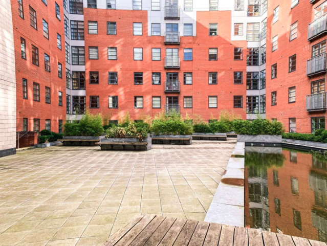
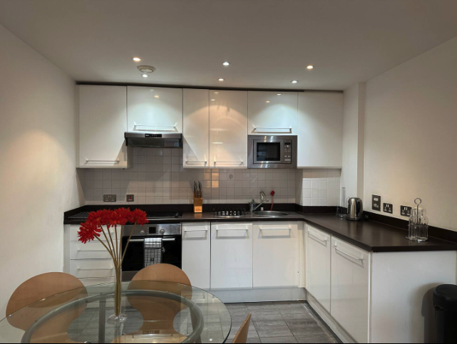
Images


Nearby Streets
| Name | Average Price | Average Sqft | Distance |
|---|---|---|---|
| Medlock Street Junction | £ 195,000 | 0 | 0.00 KM |
| Frank Street | £ 0 | 0 | 0.00 KM |
| Anvil Street | £ 239,995 | 0 | 0.00 KM |
| Tug Alley | £ 0 | 0 | 0.00 KM |
| McGinty Place | £ 0 | 0 | 0.00 KM |
Nearby Transport
| Name | NLC | TLC | Distance |
|---|---|---|---|
| Manchester Oxford Road | 2966 | MCO | 0.21 KM |
| Deansgate | 2963 | DGT | 1.13 KM |
| Manchester Piccadilly | 2968 | MAN | 1.24 KM |
| Manchester Victoria | 2970 | MCV | 1.68 KM |
| Salford Central | 2798 | SFD | 1.93 KM |
Nearby Listings
| Address | Price | Type | Score | Distance |
|---|---|---|---|---|
| Lower Ormond Street, Manchester, Greater Manchester, M1 | £ 1,295 | RENT | Unknown | 0.00 KM |
| The Quadrangle, Lower Ormond Street, Manchester, M1 | £ 1,500 | RENT | Unknown | 0.00 KM |
| Lower Ormond Street, Manchester, Greater Manchester, M1 | £ 1,650 | RENT | Unknown | 0.00 KM |
| Lower Ormond Street, Manchester, Greater Manchester, M1 | £ 1,250 | RENT | Unknown | 0.00 KM |
| Lower Ormond Street, Manchester, Greater Manchester, M1 | £ 995 | RENT | Unknown | 0.00 KM |
Nearby Properties
| Address | Price | Distance |
|---|---|---|
| 13 Conmere Square | £ 145,000 | 0.34 KM |
| 15 Conmere Square | £ 97,250 | 0.34 KM |
| 11 Conmere Square | £ 119,950 | 0.34 KM |
| 5 Conmere Square | £ 98,500 | 0.34 KM |
| 17 Valerie Walk | £ 126,000 | 0.40 KM |