haart says ..
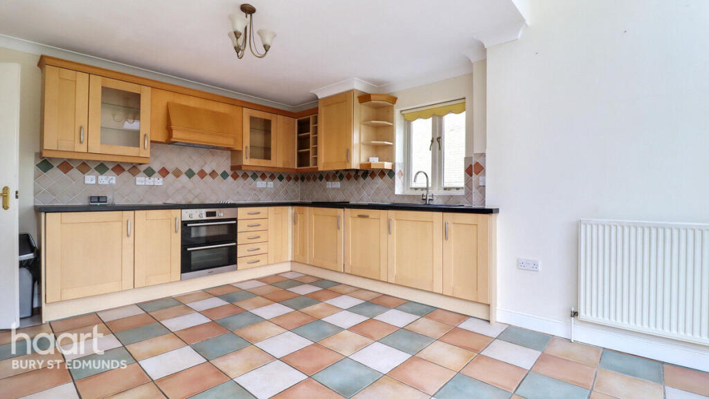
This detached home in a quiet location close to the town centre offers light and airy accommodation with the addition of a study, a spacious kitchen/diner, utility room and single garage. Offered for sale with no onward chain, it's a must view today
Property Oracle says ..
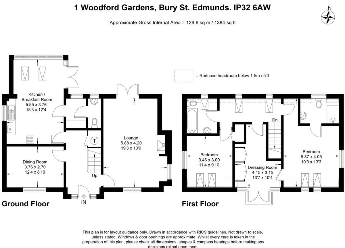
Woodford Gardens is located in the Tollgate area of Bury St Edmunds, West Suffolk. The property is a detached house with 3 bedrooms and 2 bathrooms. While the exact square footage isn’t provided, the average house price in the area is £234,748, with an average price per square foot of £278. The list price for this property is £550,000.
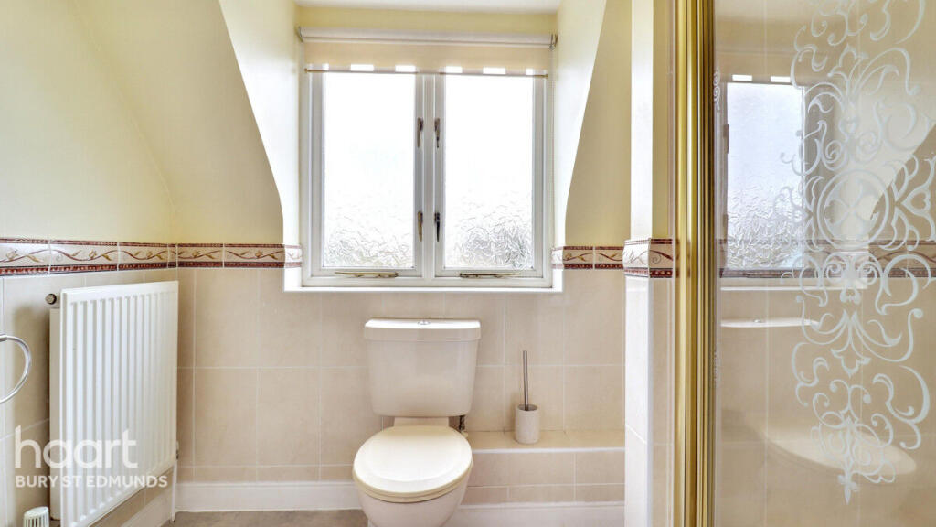
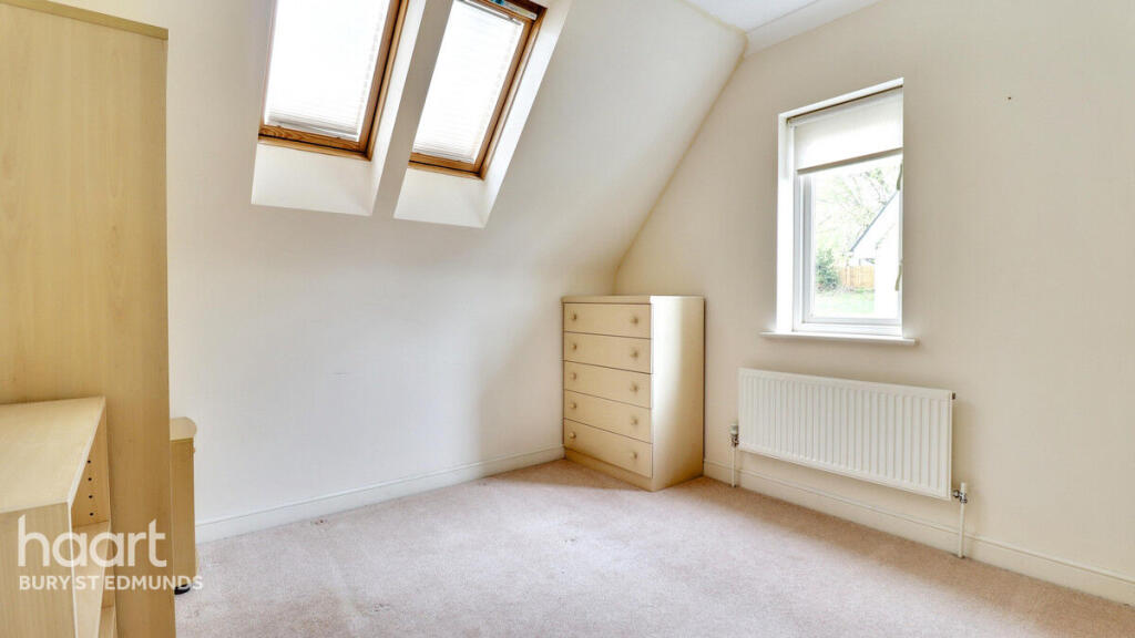
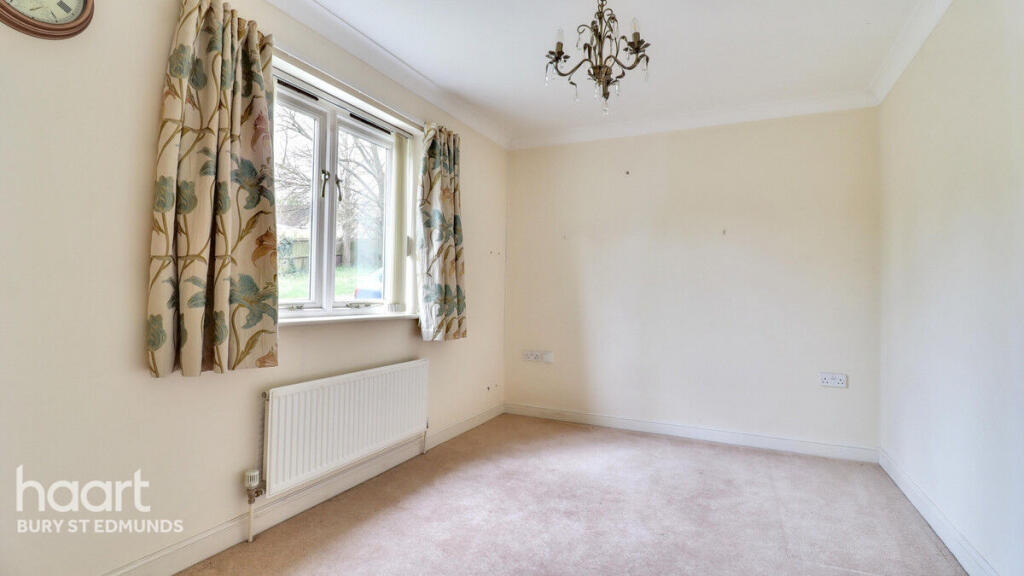
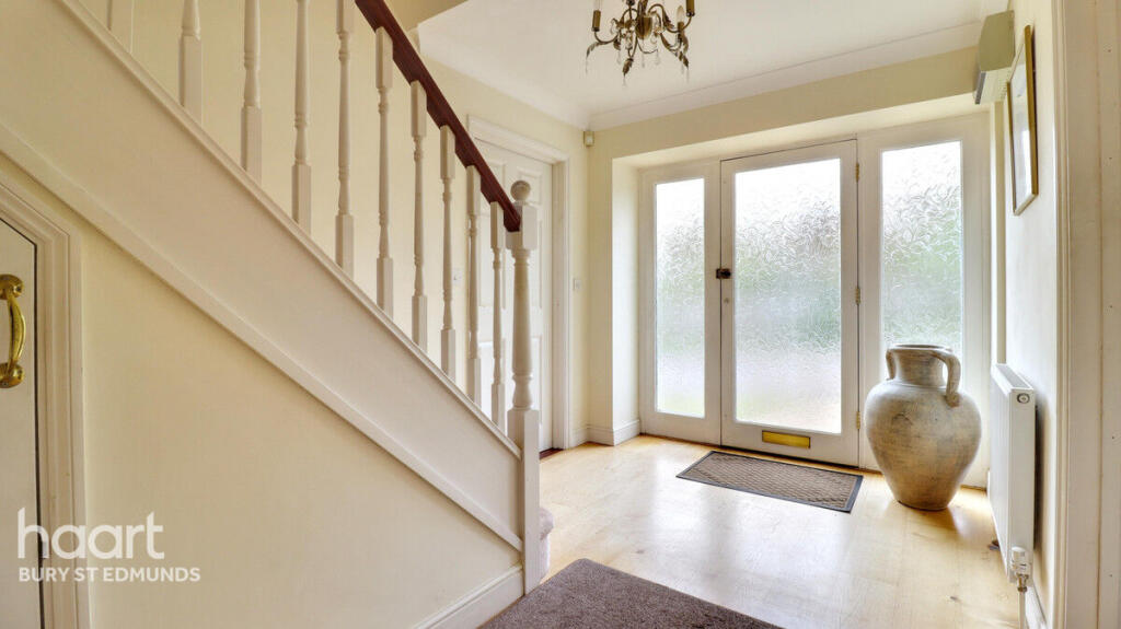
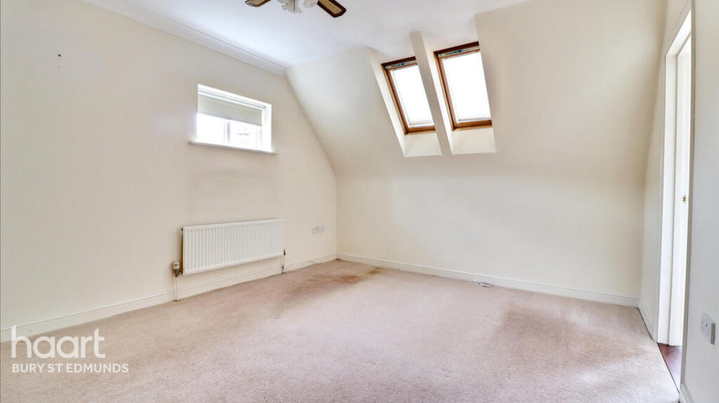
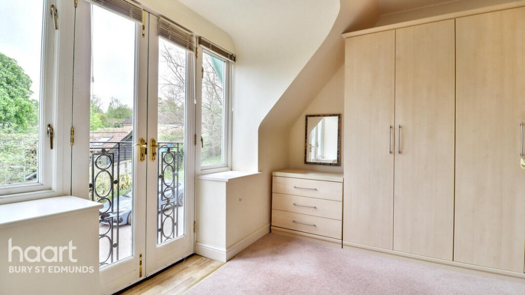
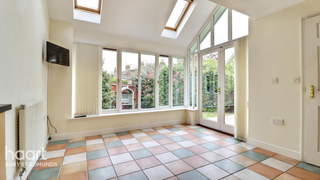
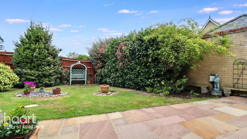
Based on the images, the property appears to be in good condition. The interior is clean and well-maintained, and the exterior shows a well-kept garden and landscaping. There is no obvious need for major renovations. The property benefits from a good sized garden, providing ample outdoor space.
The location is positive, with a nearby train station (Bury St Edmunds, 0.42 KM) and several schools within a reasonable distance. Tollgate Primary School (Good Ofsted rating) is 0.84 KM away, while other schools including Bury St Edmunds County Upper School, St Benedict’s Catholic School, and King Edward VI Church of England Voluntary Controlled Upper School are within approximately 1 KM. The proximity to these amenities adds to the property’s desirability.
Considering the average house price in the area and the apparent good condition, well-maintained garden, and convenient location of this detached property, the list price of £550,000 appears high. However, without knowing the actual square footage, a definitive conclusion on the price-to-value ratio cannot be made. Further investigation into comparable properties in the immediate vicinity with similar features would be beneficial in determining a more accurate assessment.
Therefore, we give this property 7 / 10. *Disclaimer: This is our option and does constitute a recommendation or financial advice. Do your own research. *
- Price
- 6
- Condition
- 8
- Location
- 8
- Land
- 7
- Bedrooms
- 3
- Bathrooms
- 2
The heatmap indicates the level of crime in the area. The color of the heatmap indicates the crime severity and recency.
Metrics Year-on-Year
- Average area value
- 372,500.00 £Increased by 10.08 %
- Average area rental value
- 1,271.00 £/moIncreased by 6.81 %
- Est rental Yield
- 4.09 %Decreased by 3.08 %
- Crime Rate
- 0.00 %
Agent Activity
haart created the listing.
Nearby Schools
| Name | Type | Ofsted | Distance |
|---|---|---|---|
| Tollgate Primary School | Academy Sponsor Led | Good | 0.84 KM |
| Bury St Edmunds County Upper School | Academy Converter | Serious Weaknesses | 1.08 KM |
| Bury Library Children'S Centre | Children's Centre | 1.09 KM | |
| St Benedict'S Catholic School | Voluntary Aided School | Good | 1.10 KM |
| King Edward Vi Church Of England Voluntary Controlled Upper School | Voluntary Controlled School | Good | 1.11 KM |
Images


Nearby Streets
| Name | Average Price | Average Sqft | Distance |
|---|---|---|---|
| Sandy Lane | £ 0 | 0 | 0.00 KM |
| A143 | £ 0 | 0 | 0.00 KM |
| Norman Road | £ 0 | 0 | 0.00 KM |
| Wick Lane | £ 0 | 0 | 0.00 KM |
| St Johns Mews | £ 0 | 0 | 0.00 KM |
Nearby Transport
| Name | NLC | TLC | Distance |
|---|---|---|---|
| Bury St Edmunds | 7008 | BSE | 0.42 KM |
Nearby Listings
| Address | Price | Type | Score | Distance |
|---|---|---|---|---|
| Woodford Gardens, Bury St Edmunds | £ 550,000 | BUY | 7 / 10 | 0.00 KM |
| Bury St Edmunds, Suffolk. | £ 485,000 | BUY | 7 / 10 | 0.03 KM |
| Fornham Road, Bury St. Edmunds | £ 230,000 | BUY | 6 / 10 | 0.07 KM |
| Mermaid Close, Bury St. Edmunds | £ 150,000 | BUY | 5 / 10 | 0.12 KM |
| Avenue Approach, Bury St. Edmunds | £ 475,000 | BUY | 7 / 10 | 0.15 KM |
Nearby Properties
| Address | Price | Distance |
|---|---|---|
| 59 Fornham Road | £ 335,000 | 0.02 KM |
| 55 Fornham Road | £ 315,000 | 0.04 KM |
| 47 Fornham Road | £ 240,000 | 0.04 KM |
| 41 Fornham Road | £ 450,000 | 0.04 KM |
| 43 Fornham Road | £ 103,555 | 0.04 KM |