GR
Alstone Lane, Highbridge, Somerset, TA9
By Greenslade Taylor Hunt
£ 1,450
Greenslade Taylor Hunt says ..
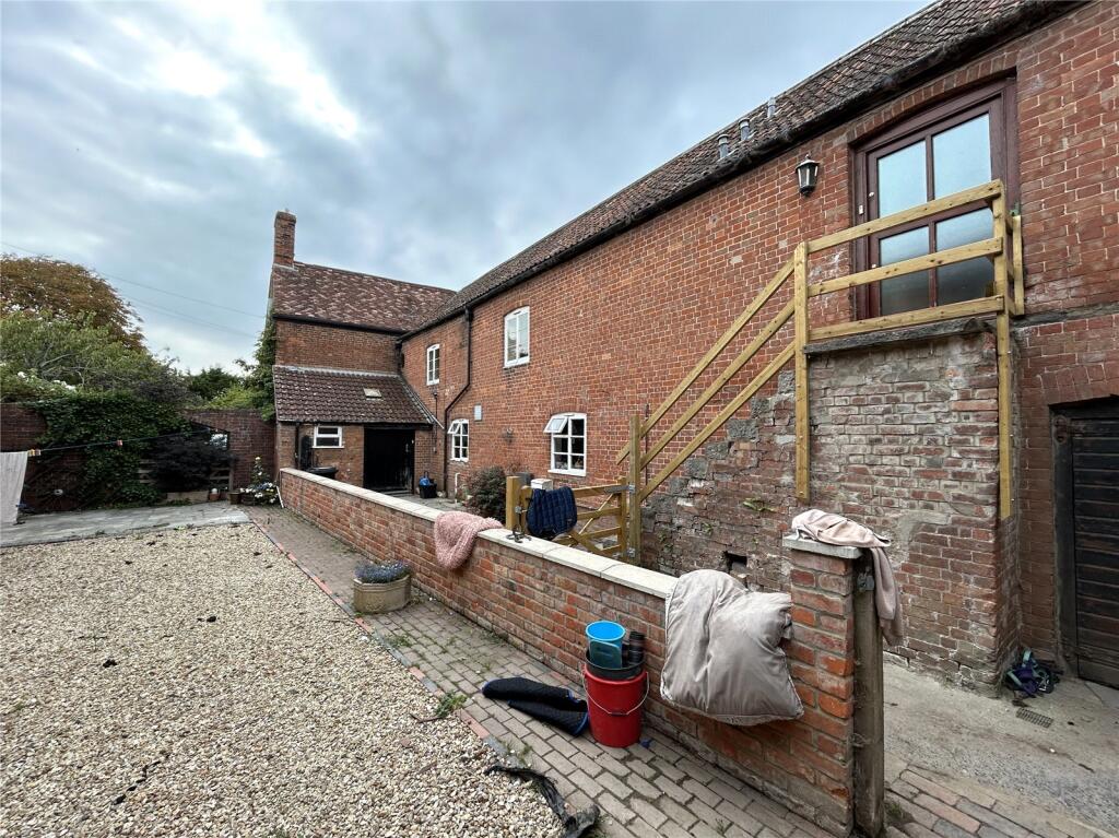
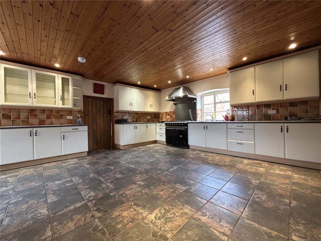
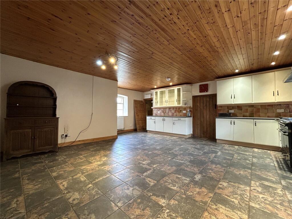
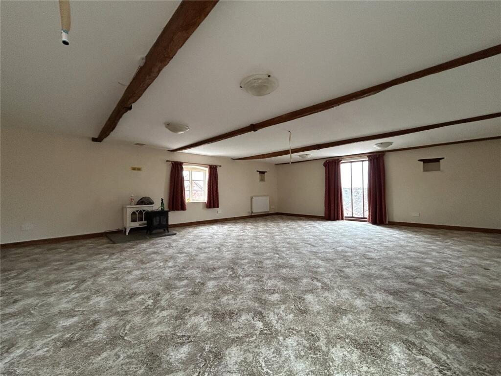
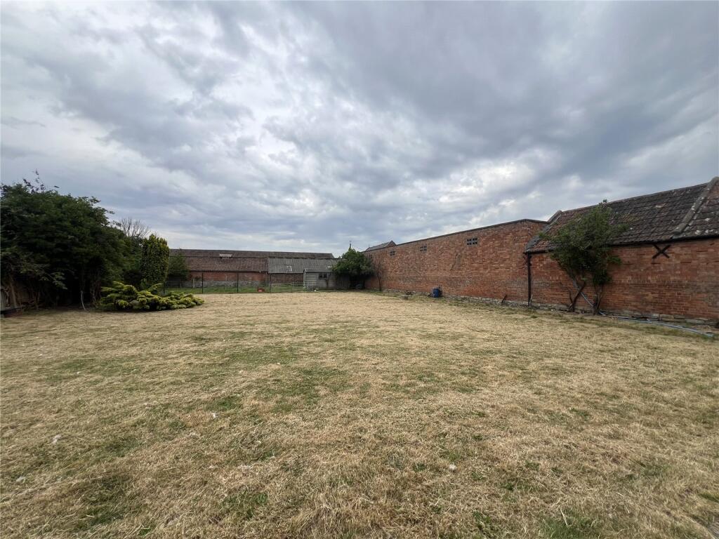
Three-bedroom Farmhouse in Rural setting.
- Bedrooms
- 3
- Bathrooms
- 3
The heatmap indicates the level of crime in the area. The color of the heatmap indicates the crime severity and recency.
Metrics Year-on-Year
- Average area value
- 408,738.00 £Increased by 56.86 %
- Average area rental value
- 1,025.00 £/moIncreased by 11.29 %
- Est rental Yield
- 3.01 %Decreased by 29.01 %
- Crime Rate
- 0.00 %
from 260,569.00 £
from 921.00 £/mo
from 4.24 %
from 0.00 %
Agent Activity
Greenslade Taylor Hunt created the listing.
Nearby Schools
| Name | Type | Ofsted | Distance |
|---|---|---|---|
| West Huntspill Primary Academy | Academy Sponsor Led | 0.69 KM | |
| The King Alfred School An Academy | Academy Sponsor Led | 1.31 KM | |
| Sedgemoor North | Children's Centre | 1.51 KM | |
| Churchfield Church School | Academy Sponsor Led | Good | 1.57 KM |
| St Andrew'S Church Of England Voluntary Controlled Junior School | Voluntary Controlled School | Good | 2.46 KM |
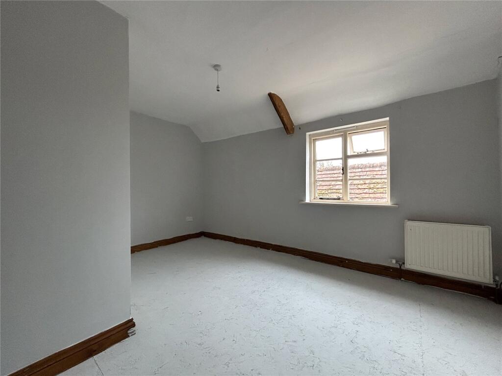
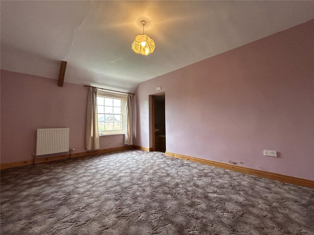
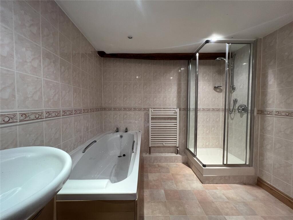
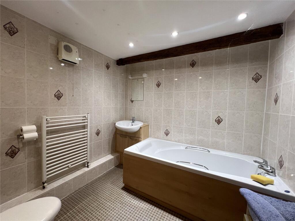
Images

Nearby Streets
| Name | Average Price | Average Sqft | Distance |
|---|---|---|---|
| Charmoise Road | £ 0 | 0 | 0.00 KM |
| Ryeland Street | £ 272,000 | 0 | 0.00 KM |
| Texel Close | £ 0 | 0 | 0.00 KM |
| Jacob Crescent | £ 0 | 0 | 0.00 KM |
| Lakeside Track | £ 0 | 0 | 0.00 KM |
Nearby Transport
| Name | NLC | TLC | Distance |
|---|---|---|---|
| Highbridge And Burnham | 3314 | HIG | 1.69 KM |
| Bridgwater | 3449 | BWT | 9.78 KM |
Nearby Listings
| Address | Price | Type | Score | Distance |
|---|---|---|---|---|
| Alstone Lane, Highbridge, Somerset, TA9 | £ 1,450 | RENT | Unknown | 0.00 KM |
| Ryeland Street, Highbridge | £ 1,300 | RENT | Unknown | 0.66 KM |
| Capstan Drive, Highbridge, Somerset, TA9 | £ 1,400 | RENT | Unknown | 0.75 KM |
| Texel Close, Highbridge | £ 1,250 | RENT | Unknown | 0.77 KM |
| Millgreen Close, West Huntspill, Highbridge, TA9 | £ 1,800 | RENT | Unknown | 1.02 KM |
Nearby Properties
| Address | Price | Distance |
|---|---|---|
| 24 Alstone Lane | £ 245,000 | 0.06 KM |
| 22 Alstone Lane | £ 230,000 | 0.06 KM |
| 32 Alstone Lane | £ 225,000 | 0.06 KM |
| 23 Alstone Lane | £ 350,000 | 0.06 KM |
| 28 Alstone Lane | £ 165,000 | 0.06 KM |