HA
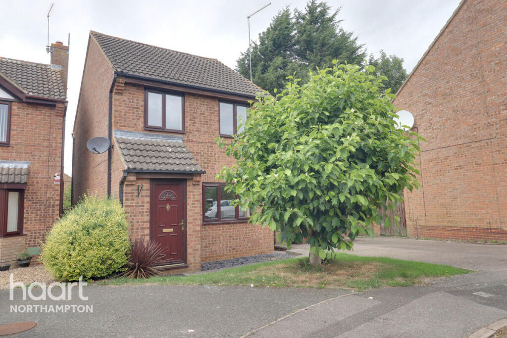
Rockcroft, NORTHAMPTON
By haart
£ 1,300
haart says ..
**BEAUTY AND PRIVACY ** in EAST HUNSBURY
- Bedrooms
- 2
- Bathrooms
- 1
The heatmap indicates the level of crime in the area. The color of the heatmap indicates the crime severity and recency.
Metrics Year-on-Year
- Average area value
- 321,279.00 £Decreased by 14.27 %
- Average area rental value
- 2,613.00 £/moIncreased by 138.20 %
- Est rental Yield
- 9.76 %Increased by 178.06 %
- Crime Rate
- 3.00 %Unchanged by 0.00 %
from 374,738.00 £
from 1,097.00 £/mo
from 3.51 %
from 3.00 %
Agent Activity
haart created the listing.
Nearby Schools
| Name | Type | Ofsted | Distance |
|---|---|---|---|
| Wootton Primary School | Academy Converter | Good | 0.96 KM |
| Wootton Park School | Free Schools | Outstanding | 1.04 KM |
| Northampton High School | Other Independent School | 1.11 KM | |
| East Hunsbury Primary School | Academy Converter | 1.30 KM | |
| Collingtree Church Of England Primary School | Academy Sponsor Led | Good | 1.31 KM |
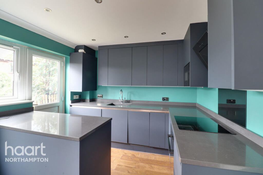
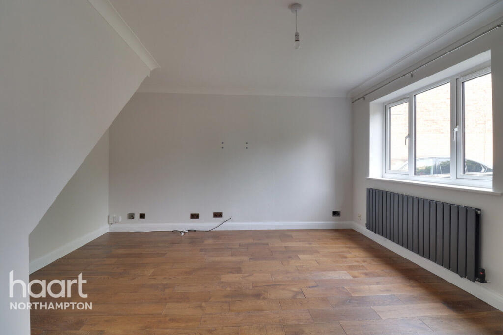
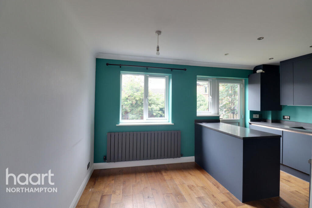
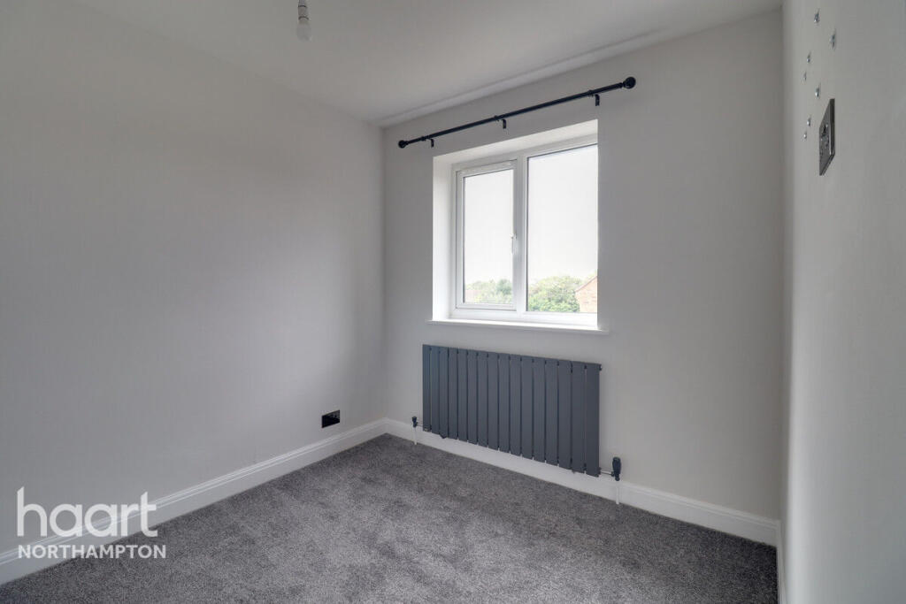
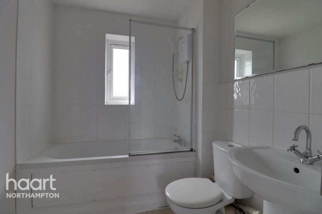
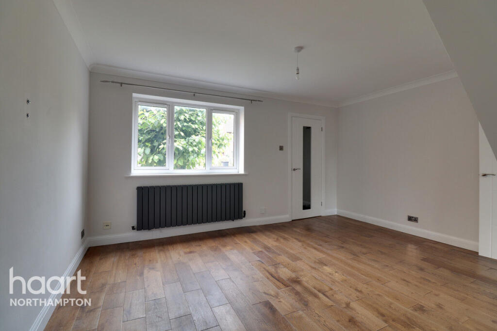
Images


Nearby Streets
| Name | Average Price | Average Sqft | Distance |
|---|---|---|---|
| Butts Road | £ 210,000 | 0 | 0.00 KM |
| Church View | £ 450,000 | 0 | 0.00 KM |
| Tanglewood | £ 850,000 | 0 | 0.00 KM |
| Lodge Avenue | £ 0 | 0 | 0.00 KM |
| Lake Walk | £ 595,000 | 0 | 0.00 KM |
Nearby Transport
| Name | NLC | TLC | Distance |
|---|---|---|---|
| Northampton | 1069 | NMP | 4.05 KM |
Nearby Listings
| Address | Price | Type | Score | Distance |
|---|---|---|---|---|
| Rockcroft, NORTHAMPTON | £ 1,300 | RENT | Unknown | 0.00 KM |
| Brashland Drive, Northampton, NN4 0SS | £ 1,050 | RENT | Unknown | 0.07 KM |
| BRASHLAND DRIVE, EAST HUNSBURY - NN4 | £ 1,150 | RENT | Unknown | 0.07 KM |
| Brashland Drive, East Hunsbury, Northampton, NN4 | £ 1,200 | RENT | Unknown | 0.08 KM |
| Oakgrove Place, Northampton | £ 1,250 | RENT | Unknown | 0.19 KM |
Nearby Properties
| Address | Price | Distance |
|---|---|---|
| 9 Rockcroft | £ 168,000 | 0.06 KM |
| 10 Rockcroft | £ 136,000 | 0.06 KM |
| 6 Rockcroft | £ 222,000 | 0.06 KM |
| 14 Rockcroft | £ 150,000 | 0.06 KM |
| 2 Rockcroft | £ 180,000 | 0.06 KM |