NU
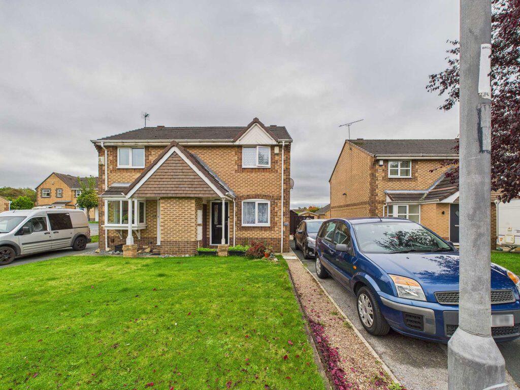
Brooksfield, South Kirkby, WF9
By Number 1 Letting Ltd
£ 750
Number 1 Letting Ltd says ..
CUL-DE-SAC location and OFF STREET PARKING
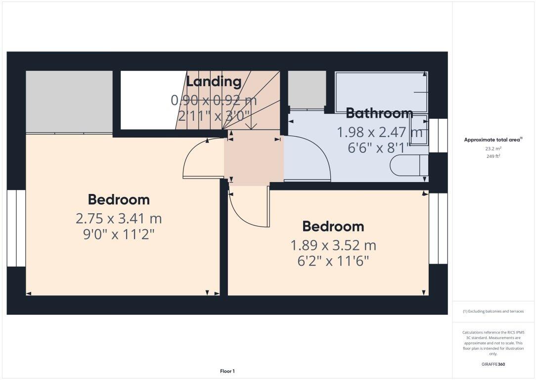
- Bedrooms
- 2
- Bathrooms
- 1
The heatmap indicates the level of crime in the area. The color of the heatmap indicates the crime severity and recency.
Metrics Year-on-Year
- Average area value
- 214,131.00 £Increased by 11.80 %
- Average area rental value
- 388.00 £/moDecreased by 44.49 %
- Est rental Yield
- 2.17 %Decreased by 50.46 %
- Crime Rate
- 2.00 %Unchanged by 0.00 %
from 191,530.00 £
from 699.00 £/mo
from 4.38 %
from 2.00 %
Agent Activity
Number 1 Letting Ltd created the listing.
Nearby Schools
| Name | Type | Ofsted | Distance |
|---|---|---|---|
| Moorthorpe Primary (J And I ) School | Community School | Good | 0.94 KM |
| St Joseph'S Catholic Primary School, Moorthorpe | Academy Sponsor Led | Good | 1.06 KM |
| Northfield Primary School: With Communication Resource | Community School | Requires improvement | 1.23 KM |
| South Elmsall Carlton Junior And Infant School | Community School | Requires improvement | 1.95 KM |
| Minsthorpe Community College, A Specialist Science College | Academy Converter | Good | 2.03 KM |
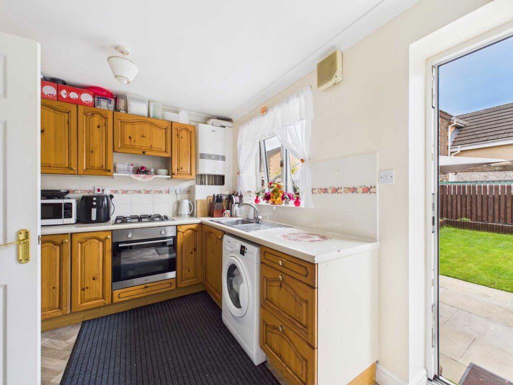
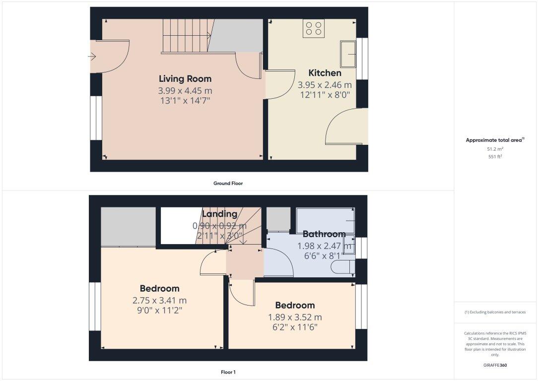
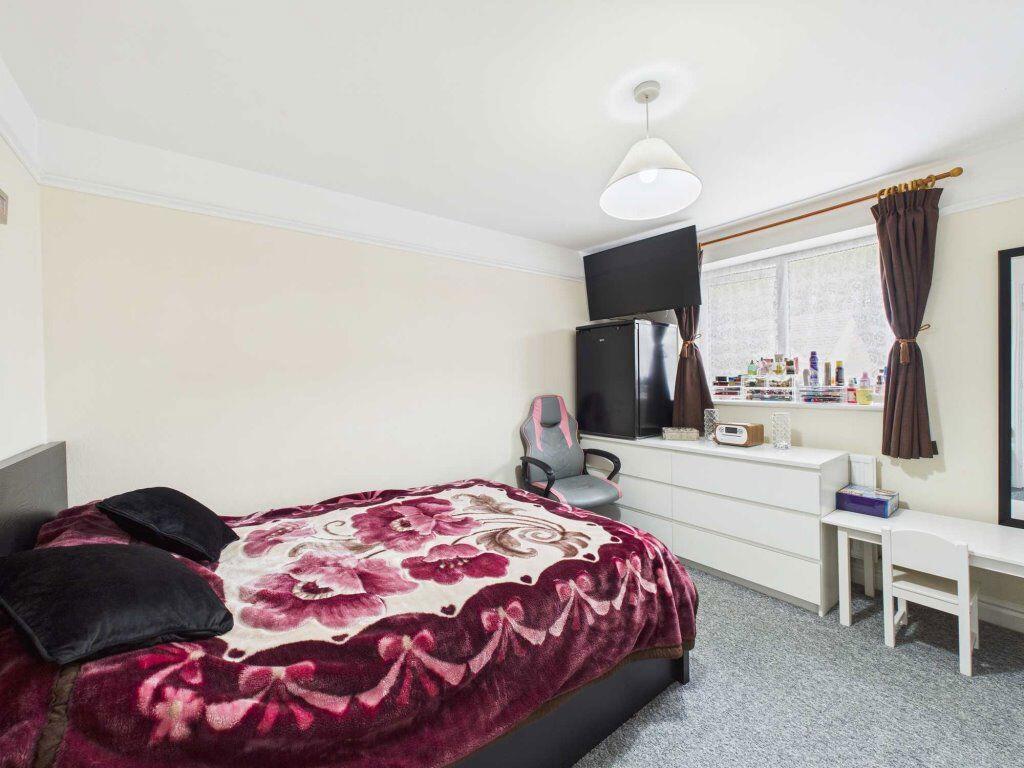
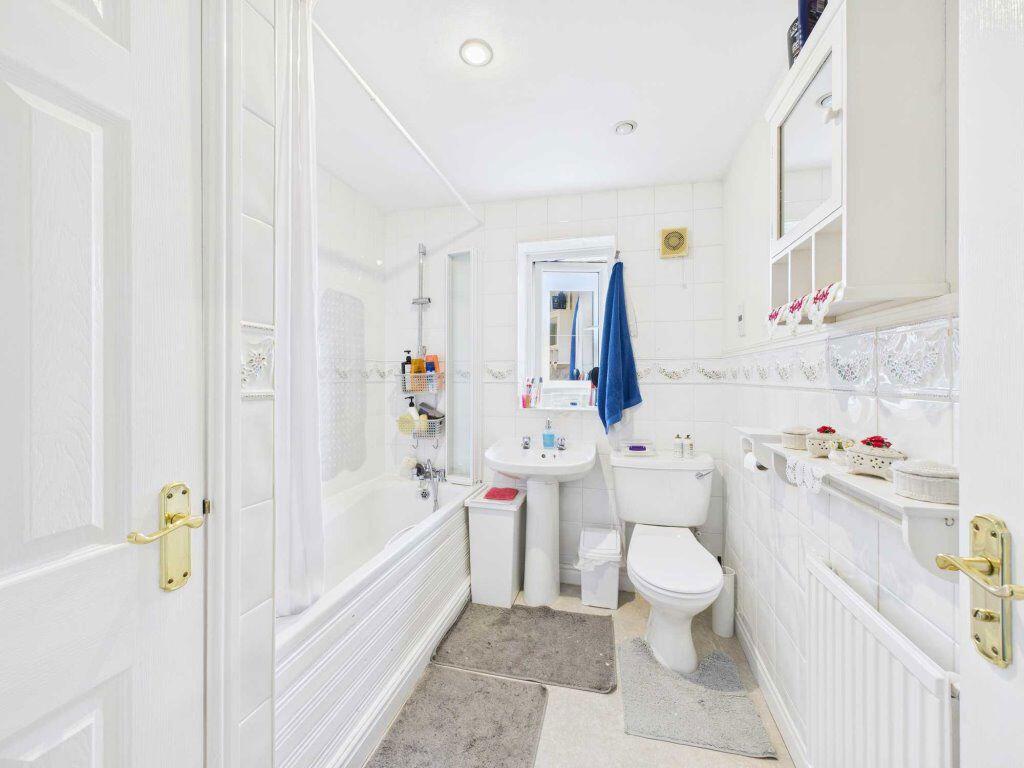
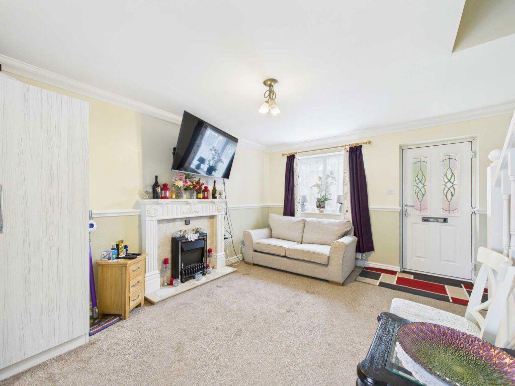
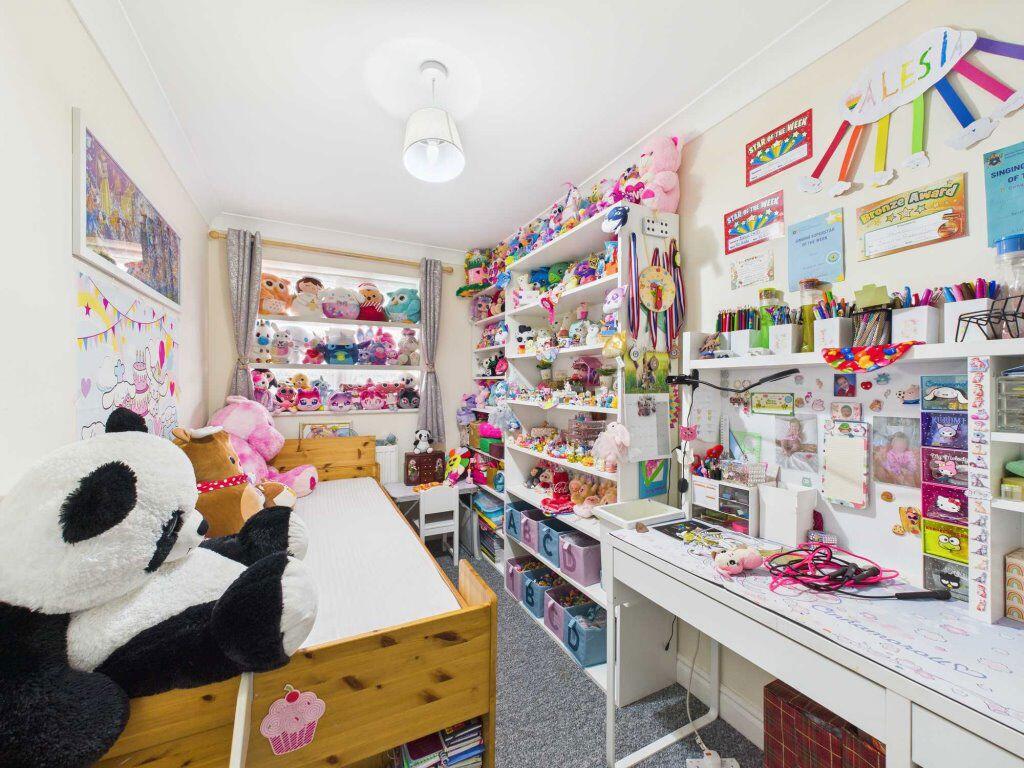
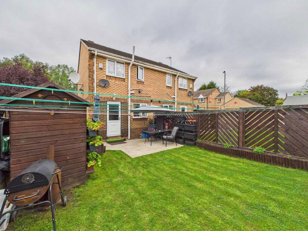
Images
Nearby Streets
| Name | Average Price | Average Sqft | Distance |
|---|---|---|---|
| Northagh Close | £ 55,500 | 0 | 0.00 KM |
| Neville Close | £ 0 | 0 | 0.00 KM |
| Blundell Road | £ 0 | 0 | 0.00 KM |
| Church Drive | £ 0 | 0 | 0.00 KM |
| Marshall Court | £ 253,182 | 0 | 0.00 KM |
Nearby Transport
| Name | NLC | TLC | Distance |
|---|---|---|---|
| Moorthorpe | 8539 | MRP | 0.69 KM |
| South Elmsall | 8355 | SES | 2.76 KM |
| Thurnscoe | 8282 | THC | 6.06 KM |
| Goldthorpe | 8284 | GOE | 7.28 KM |
| Fitzwilliam | 8583 | FZW | 8.07 KM |
Nearby Listings
| Address | Price | Type | Score | Distance |
|---|---|---|---|---|
| Brooksfield, South Kirkby, WF9 | £ 750 | RENT | Unknown | 0.00 KM |
| Ings Close, WF9 | £ 93 | RENT | Unknown | 0.30 KM |
| Ings Close, WF9 | £ 93 | RENT | Unknown | 0.30 KM |
| Ings Close, WF9 | £ 93 | RENT | Unknown | 0.30 KM |
| Ings Close, WF9 3SE | £ 93 | RENT | Unknown | 0.30 KM |
Nearby Properties
| Address | Price | Distance |
|---|---|---|
| 15 Bracken Hill | £ 97,500 | 0.14 KM |
| 69 Brooksfield | £ 160,000 | 0.14 KM |
| 36 Brooksfield | £ 130,000 | 0.14 KM |
| 41 Brooksfield | £ 112,000 | 0.14 KM |
| 43 Brooksfield | £ 94,995 | 0.14 KM |