TH
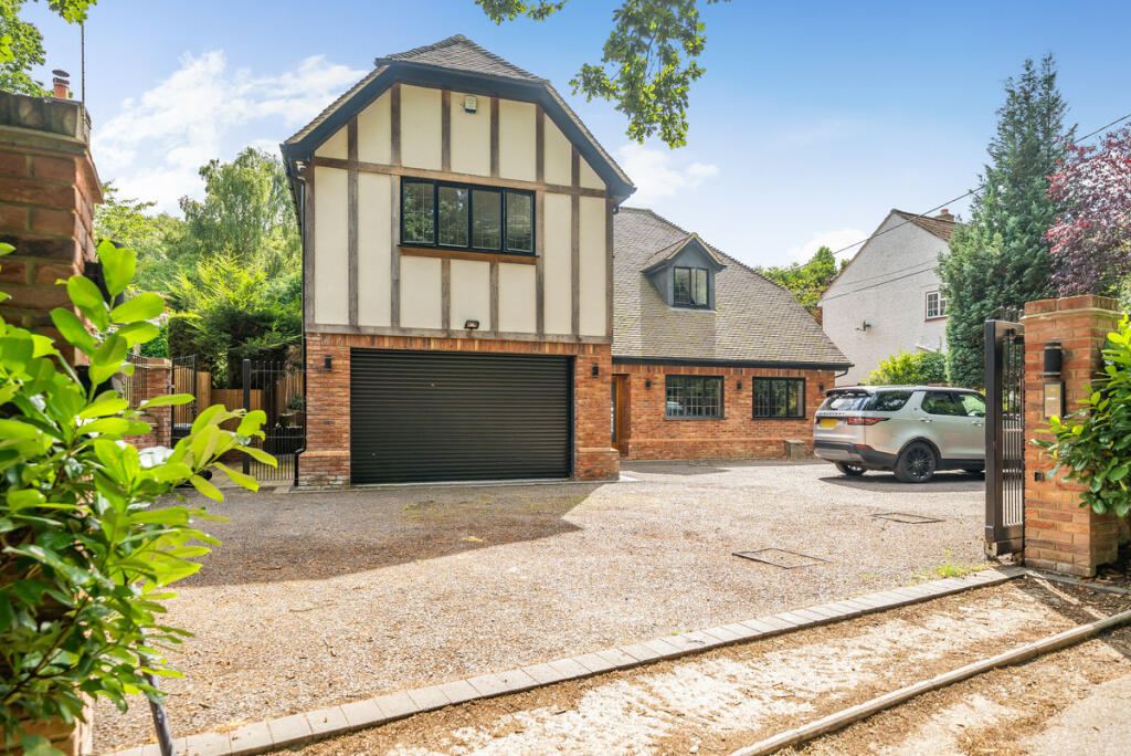
Sandy Lane, West Malling, ME19
By The Estate Agency Partnership
£ 1,350,000
The Estate Agency Partnership says ..
AGENT EXTENSION 1018 - Discover Your New Home in Addington, ME19
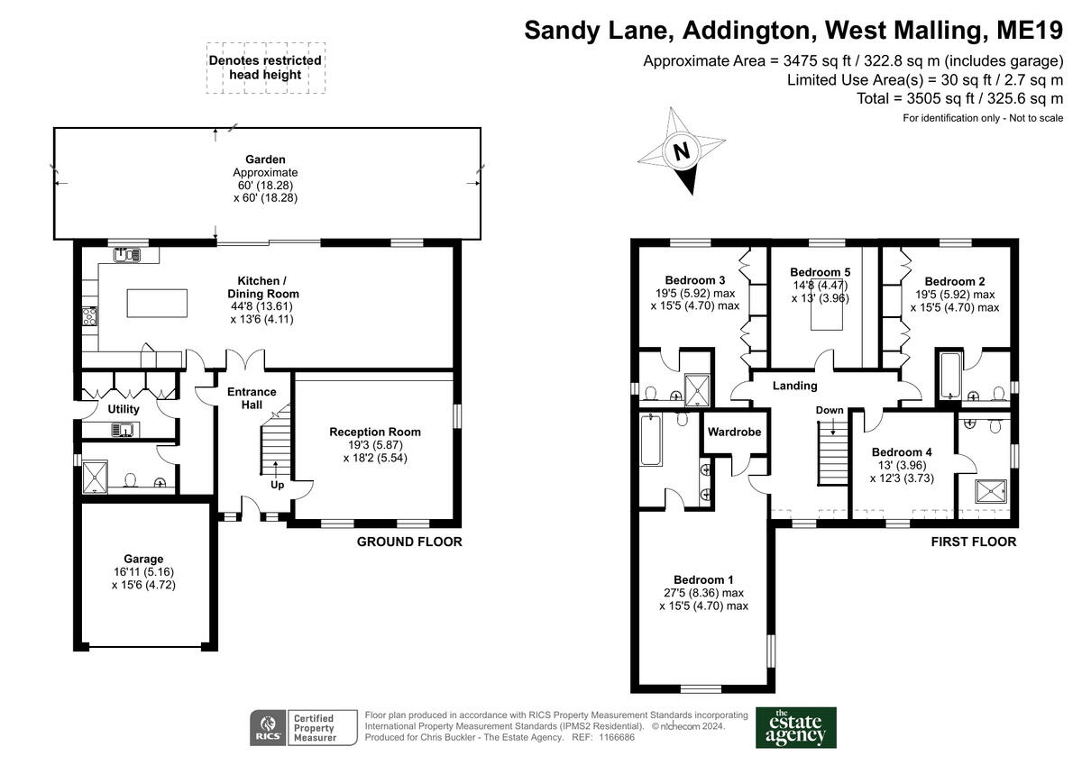
- Bedrooms
- 5
- Bathrooms
- 5
The heatmap indicates the level of crime in the area. The color of the heatmap indicates the crime severity and recency.
Metrics Year-on-Year
- Average area value
- 259,821.00 £Increased by 8.05 %
- Average area rental value
- 1,011.00 £/moIncreased by 5.53 %
- Est rental Yield
- 4.67 %Decreased by 2.30 %
- Crime Rate
- 46.00 %Unchanged by 0.00 %
from 240,470.00 £
from 958.00 £/mo
from 4.78 %
from 46.00 %
Agent Activity
The Estate Agency Partnership created the listing.
Nearby Schools
| Name | Type | Ofsted | Distance |
|---|---|---|---|
| Trottiscliffe Church Of England Primary School | Voluntary Controlled School | Good | 2.20 KM |
| Platt Church Of England Voluntary Aided Primary School | Voluntary Aided School | Good | 2.62 KM |
| Offham Primary School | Community School | Outstanding | 3.25 KM |
| Vigo Village School | Community School | Good | 3.68 KM |
| Wrotham School | Academy Converter | Good | 4.41 KM |
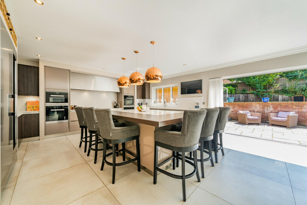
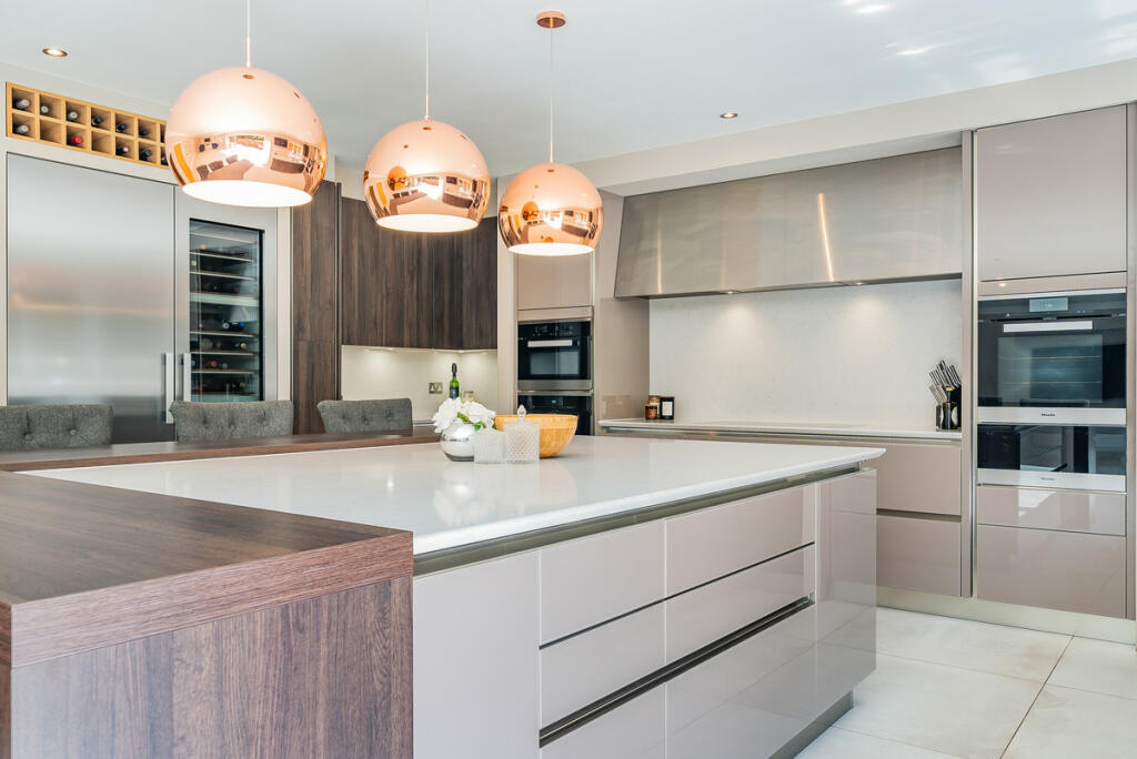
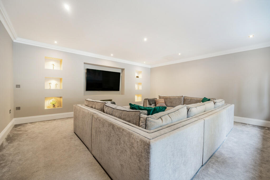
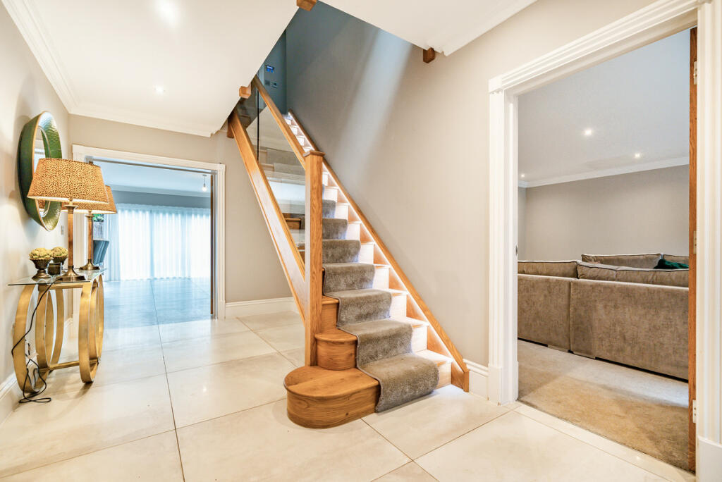
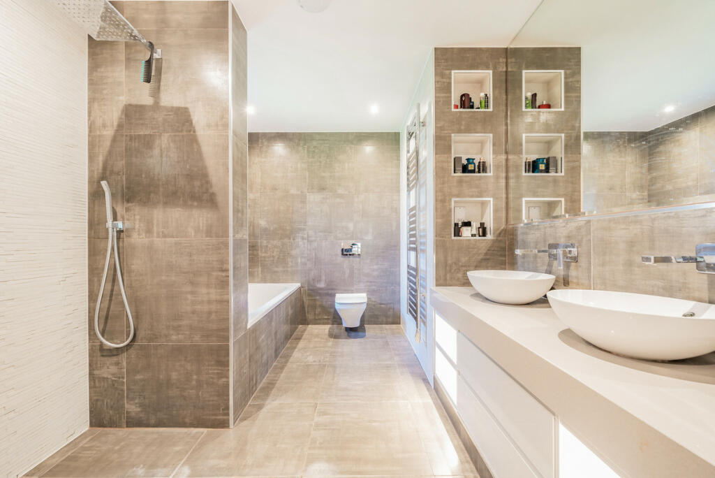
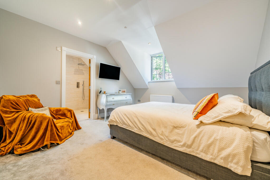
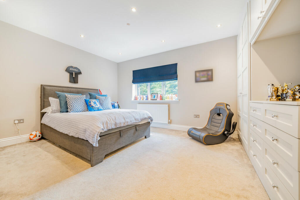
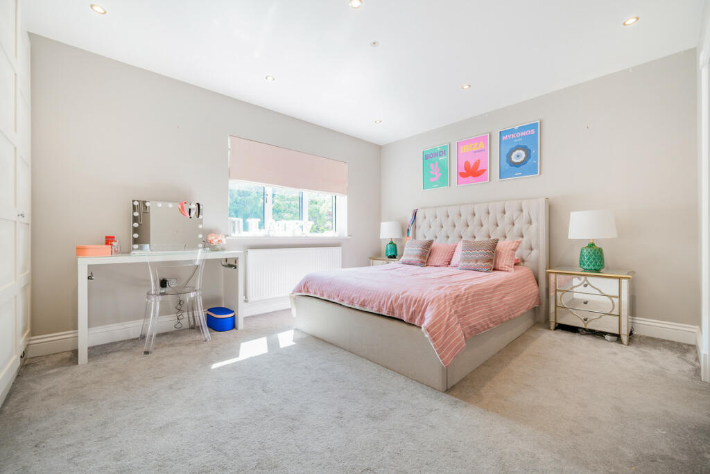
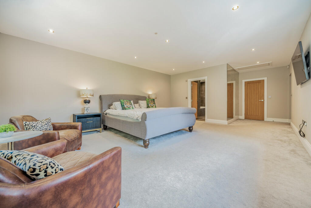
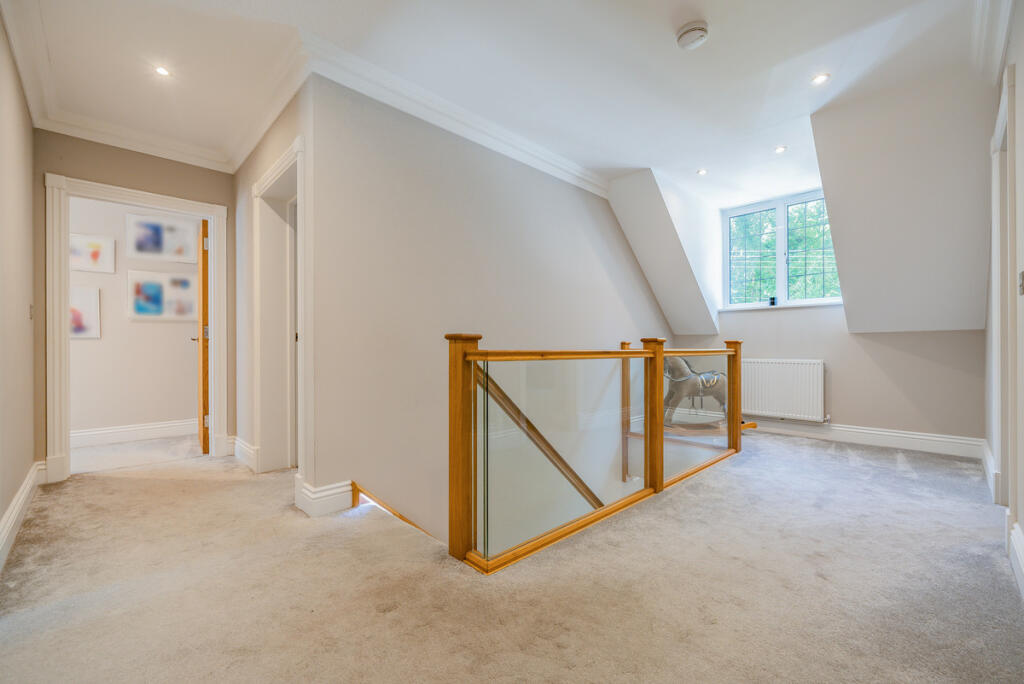
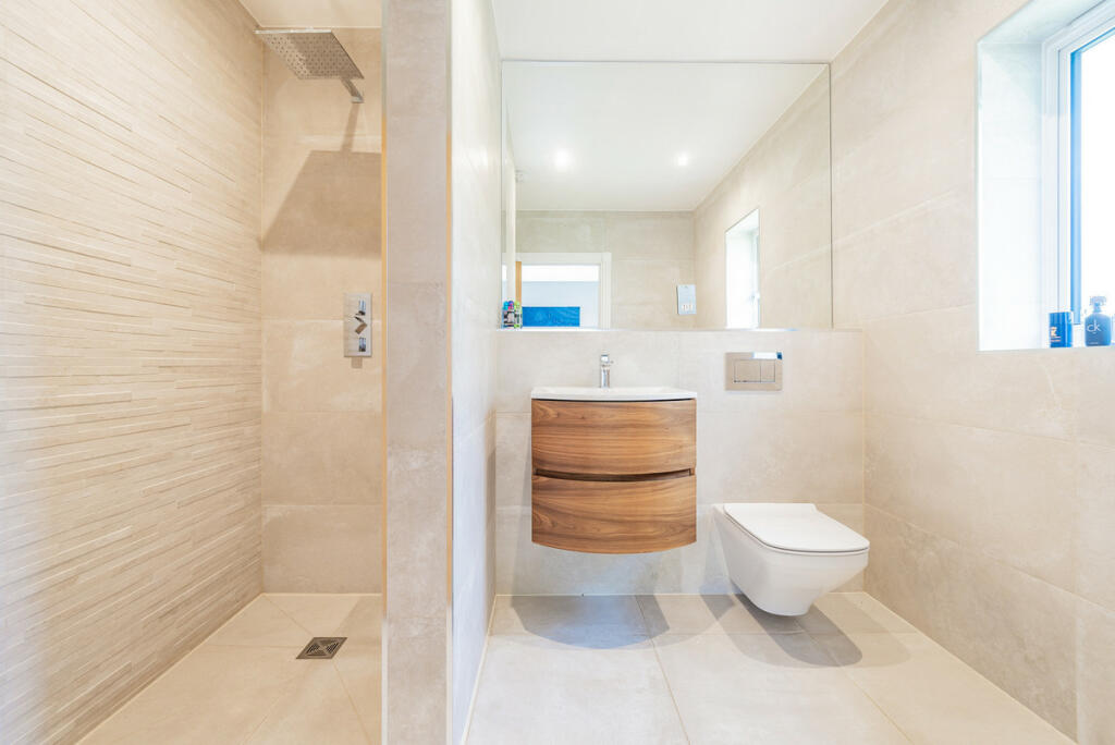
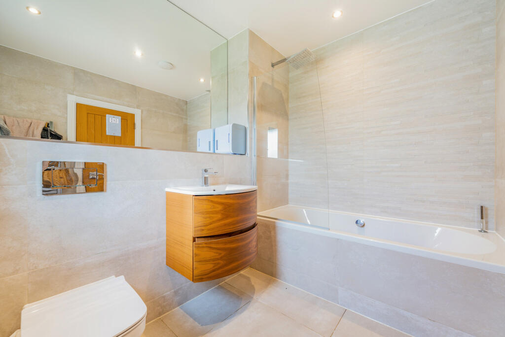
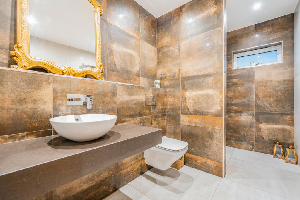
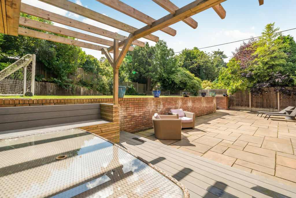
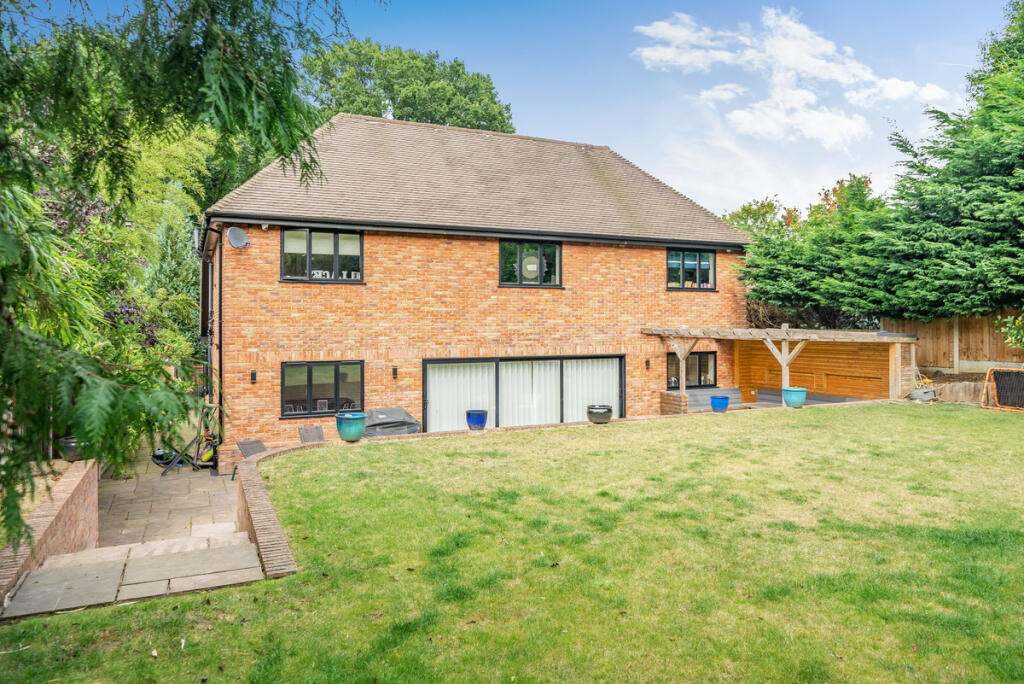
Images

Nearby Streets
| Name | Average Price | Average Sqft | Distance |
|---|---|---|---|
| Ford Lane | £ 0 | 0 | 0.00 KM |
Nearby Transport
| Name | NLC | TLC | Distance |
|---|---|---|---|
| Borough Green And Wrotham | 5130 | BRG | 4.82 KM |
| West Malling | 5129 | WMA | 7.69 KM |
| Wateringbury | 5241 | WTR | 9.74 KM |
| Meopham | 5116 | MEP | 9.81 KM |
| Sole Street | 5126 | SOR | 9.93 KM |
Nearby Listings
| Address | Price | Type | Score | Distance |
|---|---|---|---|---|
| Sandy Lane, West Malling, ME19 | £ 1,300,000 | BUY | 8 / 10 | 0.00 KM |
| Sandy Lane, West Malling, ME19 | £ 1,350,000 | BUY | Unknown | 0.00 KM |
| Clearway, Addington, West Malling | £ 695,000 | BUY | 7 / 10 | 0.24 KM |
| Clearway, Addington | £ 799,950 | BUY | 7 / 10 | 0.26 KM |
| Wrotham Heath, Sevenoaks | £ 1,500,000 | BUY | 7 / 10 | 0.32 KM |
Nearby Properties
| Address | Price | Distance |
|---|---|---|
| The Sycamores | £ 770,000 | 0.08 KM |
| Poppins | £ 670,000 | 0.08 KM |
| Sedalia | £ 402,000 | 0.08 KM |
| Heathfield | £ 620,000 | 0.08 KM |
| The Foss | £ 705,000 | 0.08 KM |