HA
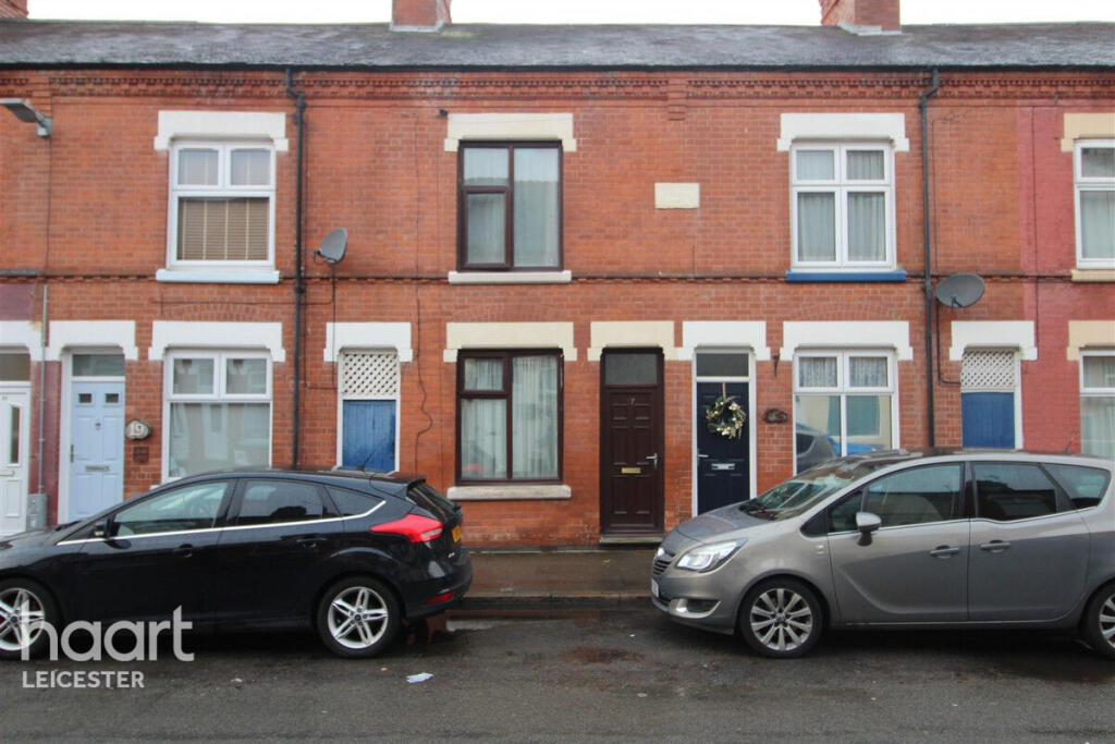
Dunton Street, LEICESTER
By haart
£ 925
haart says ..
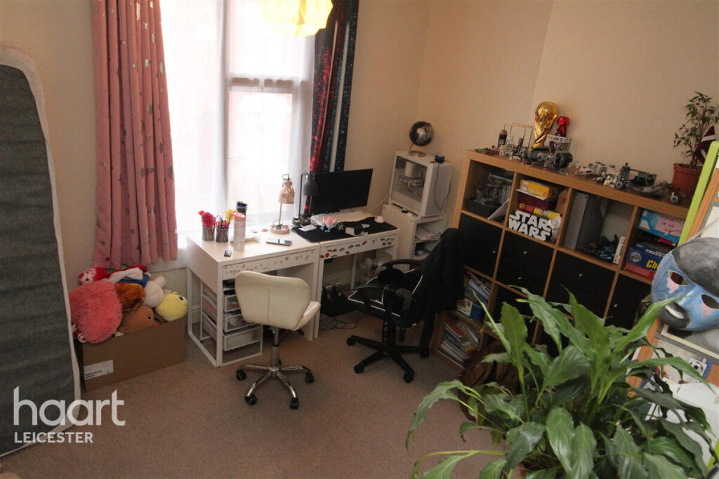
Lovely 2 bed home near Abbey park
- Bedrooms
- 2
- Bathrooms
- 1
The heatmap indicates the level of crime in the area. The color of the heatmap indicates the crime severity and recency.
Metrics Year-on-Year
- Average area value
- 238,125.00 £Decreased by 3.17 %
- Average area rental value
- 993.00 £/moIncreased by 19.93 %
- Est rental Yield
- 5.00 %Increased by 23.76 %
- Crime Rate
- 6.00 %Unchanged by 0.00 %
from 245,929.00 £
from 828.00 £/mo
from 4.04 %
from 6.00 %
Agent Activity
haart created the listing.
Nearby Schools
| Name | Type | Ofsted | Distance |
|---|---|---|---|
| Fosse Mead Primary Academy | Academy Sponsor Led | 0.30 KM | |
| Slater Primary School | Community School | Good | 0.46 KM |
| Castle Mead Academy | Free Schools | 0.70 KM | |
| Brook Mead Academy | Free Schools | 0.90 KM | |
| Avebury Meadows Sure Start Children'S Centre | Children's Centre Linked Site | 1.15 KM |
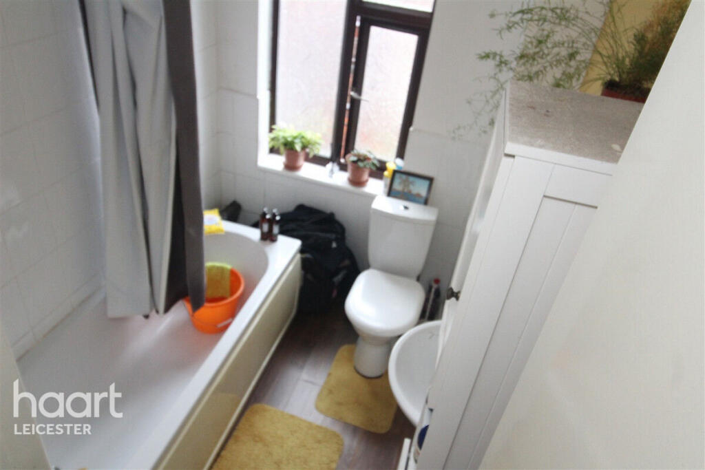
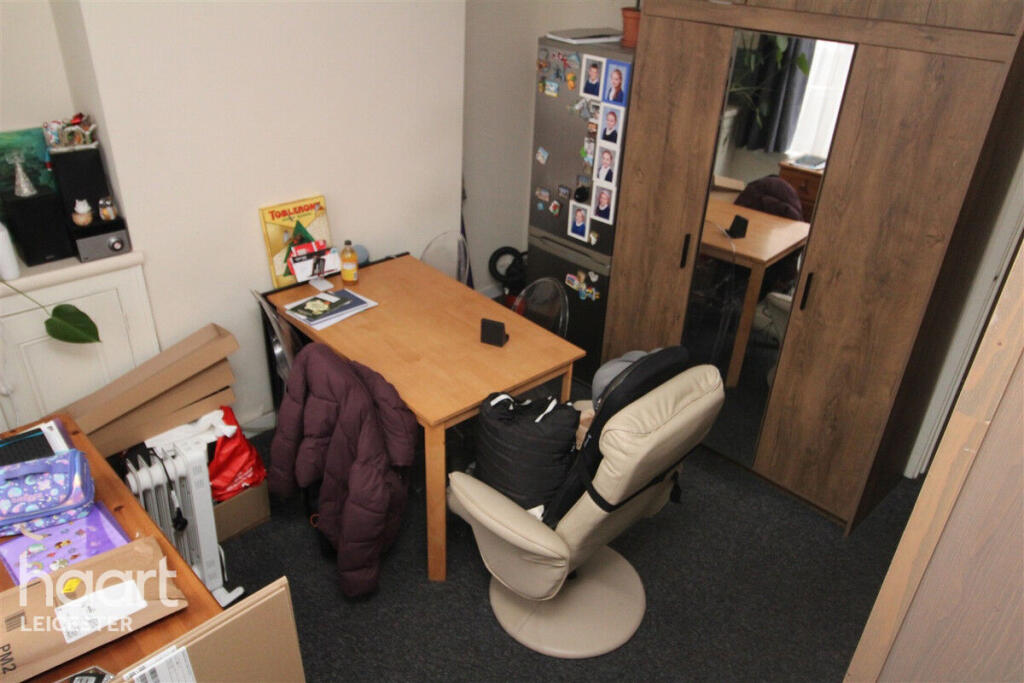
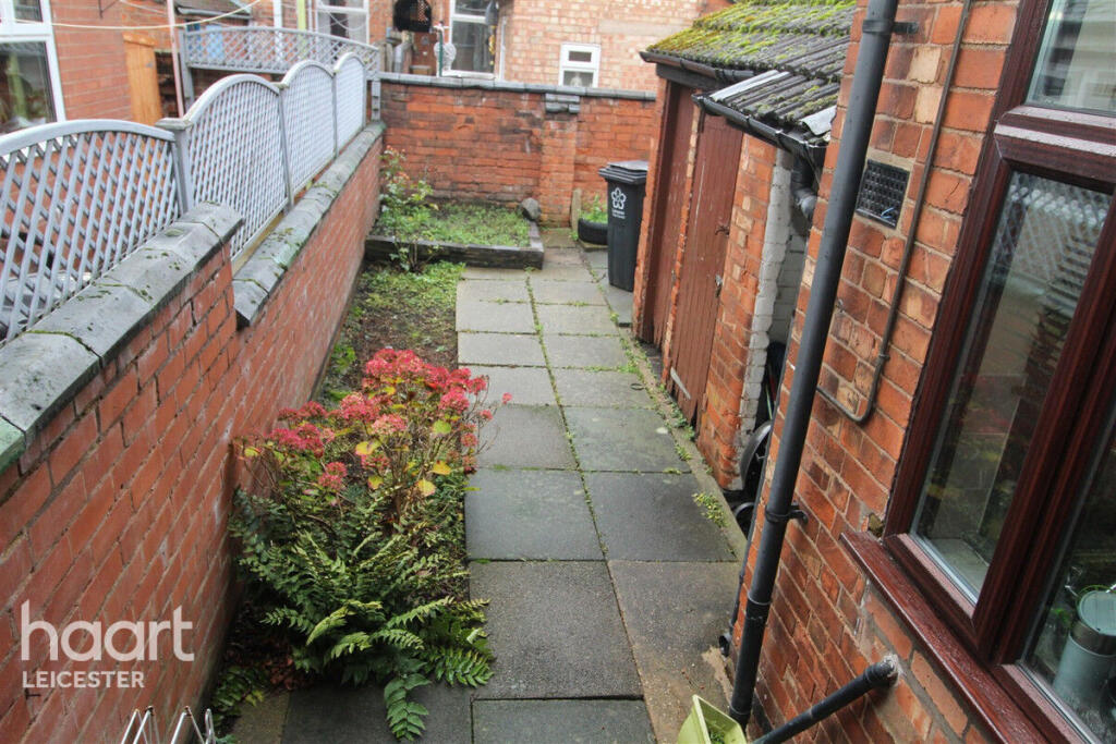
Images

Nearby Streets
| Name | Average Price | Average Sqft | Distance |
|---|---|---|---|
| Storey Street | £ 150,000 | 0 | 0.00 KM |
| Grand Union Embankment | £ 0 | 0 | 0.00 KM |
| Bishop Meadow | £ 0 | 0 | 0.00 KM |
| Pingle Wharf Approach | £ 213,571 | 0 | 0.00 KM |
| Kilby Lane | £ 0 | 0 | 0.00 KM |
Nearby Transport
| Name | NLC | TLC | Distance |
|---|---|---|---|
| Leicester | 1947 | LEI | 2.70 KM |
| South Wigston | 1949 | SWS | 6.89 KM |
| Syston | 1900 | SYS | 9.14 KM |
Nearby Listings
| Address | Price | Type | Score | Distance |
|---|---|---|---|---|
| Dunton Street, LEICESTER | £ 925 | RENT | Unknown | 0.00 KM |
| Dunton Street, Leicester | £ 850 | RENT | Unknown | 0.03 KM |
| Woodgate, Leicester | £ 900 | RENT | Unknown | 0.10 KM |
| Marshall Street, Leicester | £ 1,100 | RENT | Unknown | 0.14 KM |
| Marshall Street, Leicester | £ 1,025 | RENT | Unknown | 0.14 KM |
Nearby Properties
| Address | Price | Distance |
|---|---|---|
| 43 Dunton Street | £ 123,000 | 0.03 KM |
| 57 Dunton Street | £ 66,500 | 0.03 KM |
| 32 Dunton Street | £ 112,100 | 0.03 KM |
| 7 Dunton Street | £ 93,500 | 0.03 KM |
| 49 Dunton Street | £ 95,000 | 0.03 KM |