A
Highbridge, Somerset, TA9
By A & F
£ 650
A & F says ..
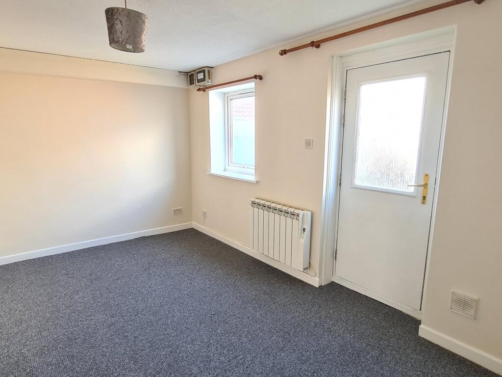
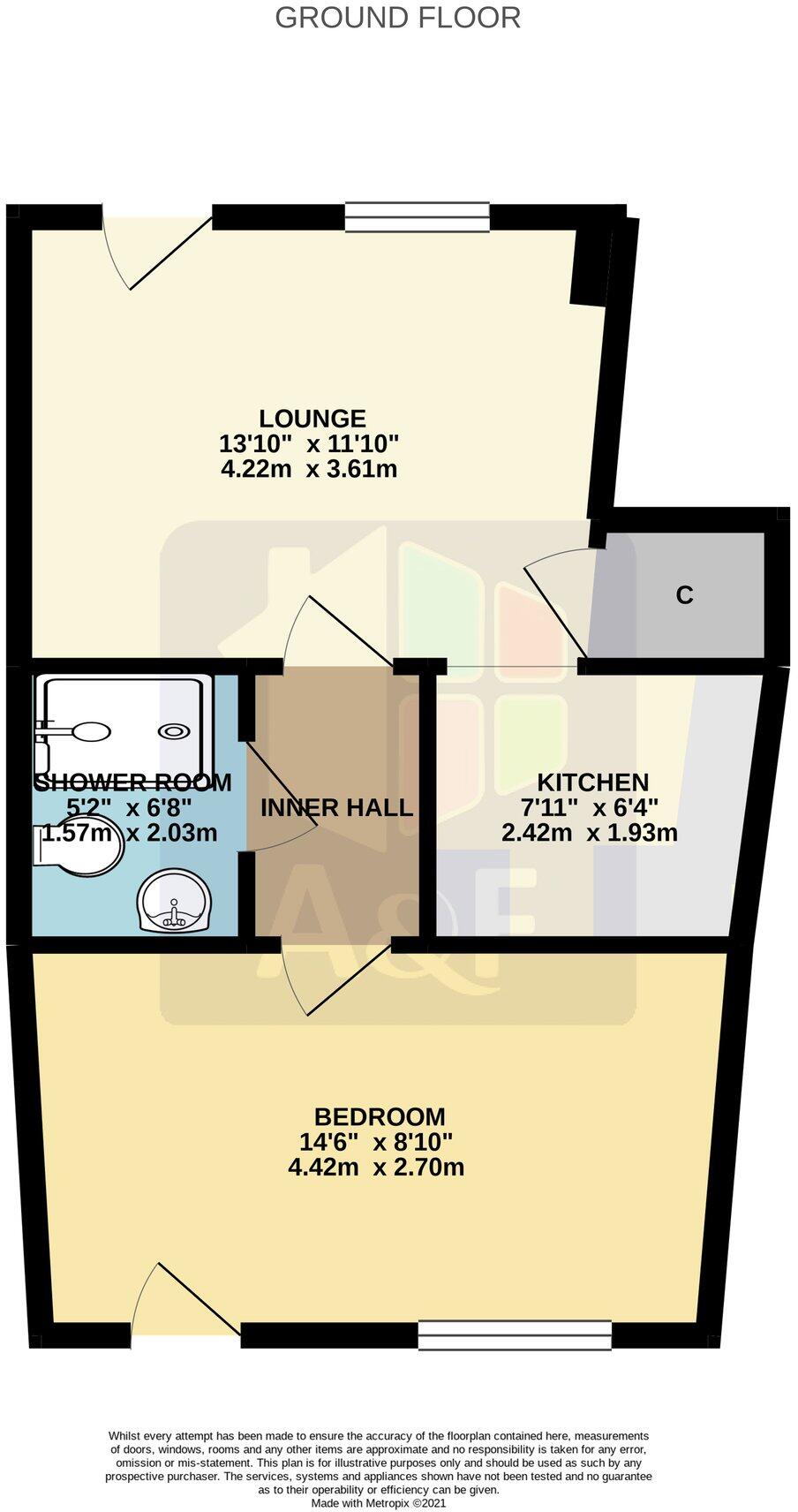
ONE BEDROOM GROUND FLOOR FLAT WITH REAR PARKING SPACE to LET ON A SINGLE OCCUPANCY BASIS.
- Bedrooms
- 1
- Bathrooms
- 1
The heatmap indicates the level of crime in the area. The color of the heatmap indicates the crime severity and recency.
Metrics Year-on-Year
- Average area value
- 408,738.00 £Increased by 56.86 %
- Average area rental value
- 1,025.00 £/moIncreased by 11.29 %
- Est rental Yield
- 3.01 %Decreased by 29.01 %
- Crime Rate
- 76.00 %Unchanged by 0.00 %
from 260,569.00 £
from 921.00 £/mo
from 4.24 %
from 76.00 %
Agent Activity
A & F created the listing.
Nearby Schools
| Name | Type | Ofsted | Distance |
|---|---|---|---|
| Sedgemoor North | Children's Centre | 0.32 KM | |
| Churchfield Church School | Academy Sponsor Led | Good | 0.45 KM |
| The King Alfred School An Academy | Academy Sponsor Led | 0.99 KM | |
| West Huntspill Primary Academy | Academy Sponsor Led | 1.43 KM | |
| Burnham-On-Sea Community Infant School | Community School | Outstanding | 2.52 KM |
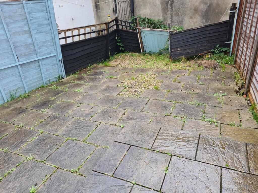
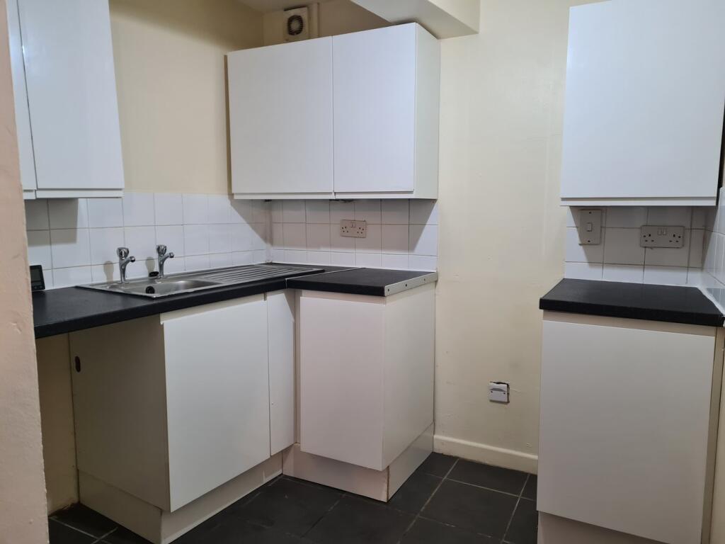
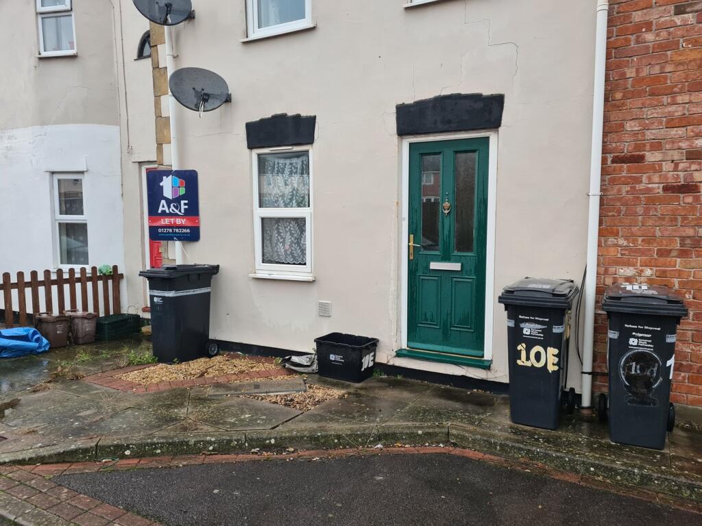
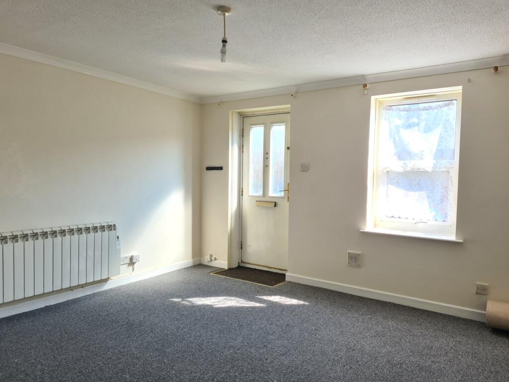
Images

Nearby Streets
| Name | Average Price | Average Sqft | Distance |
|---|---|---|---|
| Newtown Road | £ 281,458 | 0 | 0.00 KM |
| John Street | £ 235,000 | 0 | 0.00 KM |
| King Street | £ 0 | 0 | 0.00 KM |
| Scott Road | £ 0 | 0 | 0.00 KM |
| A38 | £ 127,475 | 0 | 0.00 KM |
Nearby Transport
| Name | NLC | TLC | Distance |
|---|---|---|---|
| Highbridge And Burnham | 3314 | HIG | 0.62 KM |
Nearby Listings
| Address | Price | Type | Score | Distance |
|---|---|---|---|---|
| Church Street, Highbridge, Somerset, TA9 | £ 800 | RENT | Unknown | 0.19 KM |
| Highbridge Quay, Highbridge, Somerset, TA9 | £ 750 | RENT | Unknown | 0.20 KM |
| Church Street, Highbridge, Somerset, TA9 | £ 825 | RENT | Unknown | 0.20 KM |
| Wessex House, Highbridge, TA9 | £ 680 | RENT | Unknown | 0.21 KM |
| Market Street, Highbridge, Somerset | £ 650 | RENT | Unknown | 0.21 KM |
Nearby Properties
| Address | Price | Distance |
|---|---|---|
| 12 Newtown Road | £ 156,000 | 0.03 KM |
| 9 Newtown Road | £ 113,500 | 0.03 KM |
| 10d Newtown Road | £ 150,000 | 0.03 KM |
| 3 Newtown Road | £ 53,500 | 0.03 KM |
| 14 Newtown Road | £ 112,000 | 0.03 KM |