HA
Matson Road, Ipswich
By haart
£ 650
haart says ..
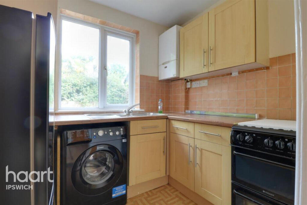
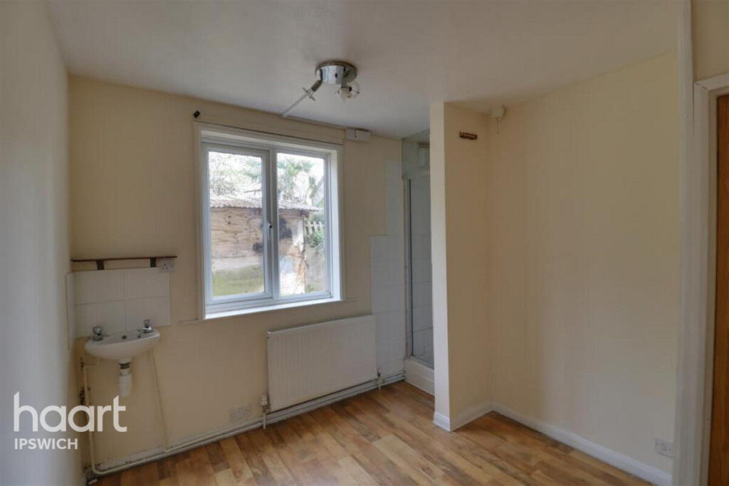
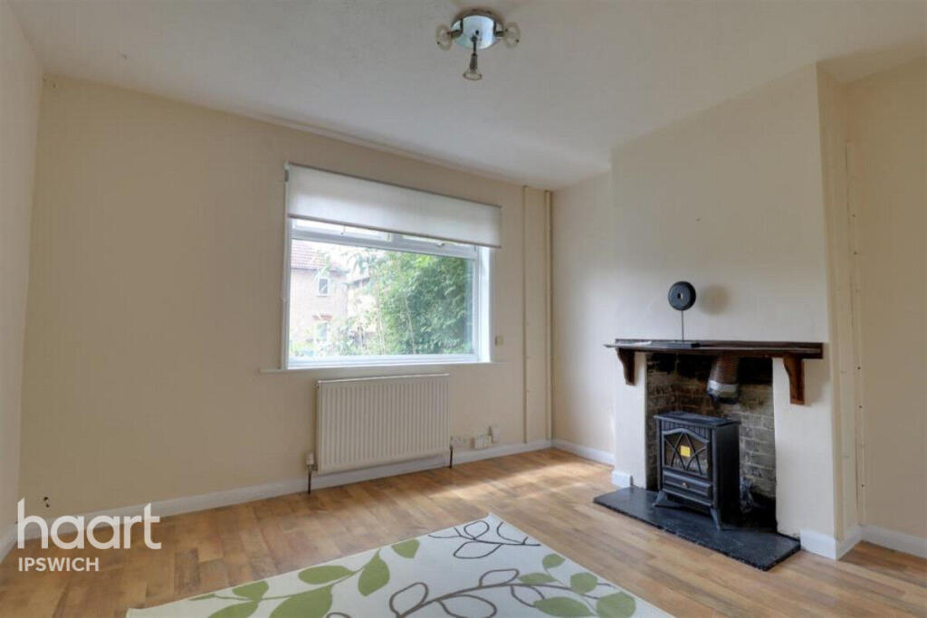
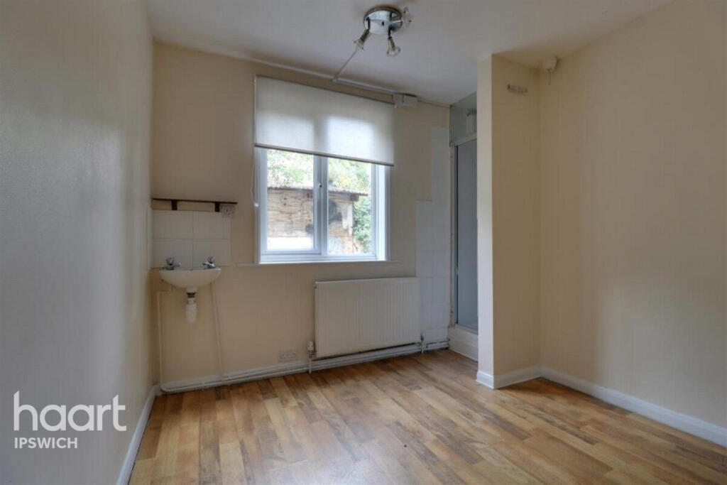
Well presented one bedroom flat ground floor with one allocated parking space
- Bedrooms
- 1
- Bathrooms
- 1
The heatmap indicates the level of crime in the area. The color of the heatmap indicates the crime severity and recency.
Metrics Year-on-Year
- Average area value
- 222,854.00 £Decreased by 15.77 %
- Average area rental value
- 1,201.00 £/moIncreased by 7.91 %
- Est rental Yield
- 6.47 %Increased by 28.12 %
- Crime Rate
- 7.00 %Unchanged by 0.00 %
from 264,570.00 £
from 1,113.00 £/mo
from 5.05 %
from 7.00 %
Agent Activity
haart created the listing.
Nearby Schools
| Name | Type | Ofsted | Distance |
|---|---|---|---|
| Springfield Infant School And Nursery | Academy Converter | Good | 0.23 KM |
| Springfield Junior School | Academy Converter | 0.24 KM | |
| Highfield Nursery School | Local Authority Nursery School | Outstanding | 0.79 KM |
| Highfield Children'S Centre | Children's Centre | 0.83 KM | |
| Wellington Children'S Centre | Children's Centre | 0.96 KM |
Images


Nearby Streets
| Name | Average Price | Average Sqft | Distance |
|---|---|---|---|
| Wesley Way | £ 195,000 | 0 | 0.00 KM |
| Redhill Close | £ 265,000 | 0 | 0.00 KM |
| Thetford Road | £ 0 | 0 | 0.00 KM |
| Arkwright Road | £ 170,000 | 0 | 0.00 KM |
| Sherrington Road | £ 0 | 0 | 0.00 KM |
Nearby Transport
| Name | NLC | TLC | Distance |
|---|---|---|---|
| Ipswich | 7217 | IPS | 2.49 KM |
| Westerfield | 7226 | WFI | 4.05 KM |
| Derby Road (Ipswich) | 7212 | DBR | 6.02 KM |
Nearby Listings
| Address | Price | Type | Score | Distance |
|---|---|---|---|---|
| Matson Road, Ipswich | £ 650 | RENT | Unknown | 0.00 KM |
| Thompson Road, Ipswich | £ 995 | RENT | Unknown | 0.08 KM |
| Bramford Lane, Ipswich, IP1 | £ 950 | RENT | Unknown | 0.15 KM |
| Kitchener Road, Ipswich, Suffolk, IP1 | £ 460 | RENT | Unknown | 0.16 KM |
| Thompson Road, Ipswich | £ 1,150 | RENT | Unknown | 0.18 KM |
Nearby Properties
| Address | Price | Distance |
|---|---|---|
| 36 Matson Road | £ 105,000 | 0.01 KM |
| 3 Matson Road | £ 105,000 | 0.01 KM |
| 14 Matson Road | £ 61,000 | 0.01 KM |
| 18 Matson Road | £ 63,500 | 0.01 KM |
| 16 Matson Road | £ 81,500 | 0.01 KM |