Satchells Commercial says ..
A rare opportunity to purchase about 1 acre of land situated in Bedfordshire close to the A1 between Biggleswade and St Neots with an existing 3,000 Square Foot Underground Storage facility, the land also has residential planning permission to create a Unique 3,000 Square Foot House.Thi...
Property Oracle says ..
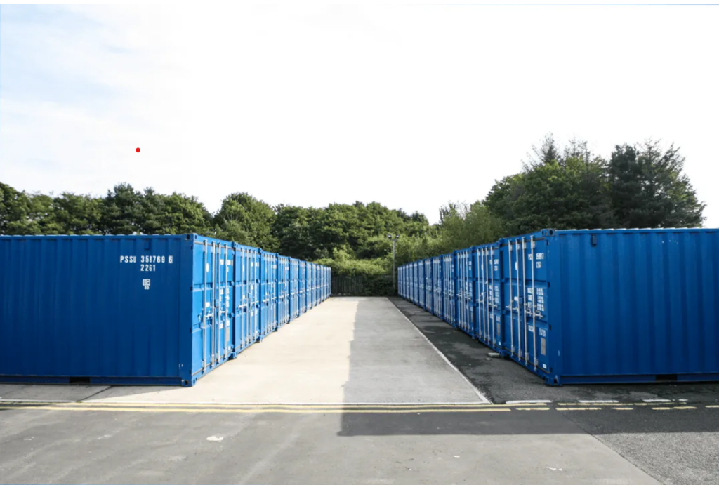
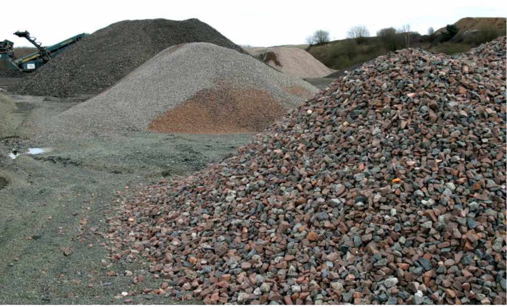
This listing presents a unique opportunity: an undeveloped 1-acre plot in Sandy, Bedfordshire, with planning permission for a 3,000 sq ft house and an existing 3,000 sq ft underground storage facility. Sandy offers a desirable location with good schools (Maple Tree Primary and Sandy Secondary, both rated ‘Good’ by Ofsted) and relatively easy access to transport links via the A1 and train stations in Sandy and Biggleswade. However, the lack of specific details regarding the plot’s precise location within Sandy warrants further investigation. The images provided show the existing underground storage facility and piles of aggregate or construction materials. This means significant additional investment is needed to complete the project. The listing price of £1,000,000 is high, but this figure must be contextualized within the cost of constructing a 3,000 sq ft house, managing the existing underground structure, and the inherent value of the large plot size and its planning permission in a desirable area. Potential buyers should undertake a thorough site visit and conduct detailed cost analysis before committing to a purchase. The project offers potential high reward but also carries considerable financial risk. Further details, including architectural plans and detailed surveys of both the land and the underground storage facility are essential to a comprehensive valuation.
Therefore, we give this property 5 / 10. *Disclaimer: This is our option and does constitute a recommendation or financial advice. Do your own research. *
- Price
- 6
- Condition
- 4
- Location
- 7
- Land
- 6
- Bedrooms
- 0
- Bathrooms
- 0
The heatmap indicates the level of crime in the area. The color of the heatmap indicates the crime severity and recency.
Metrics Year-on-Year
- Average area value
- 333,300.00 £Decreased by 17.56 %
- Average area rental value
- 1,110.00 £/moDecreased by 14.22 %
- Est rental Yield
- 4.00 %Increased by 4.17 %
- Crime Rate
- 1.00 %Unchanged by 0.00 %
Agent Activity
Satchells Commercial created the listing.
Nearby Schools
| Name | Type | Ofsted | Distance |
|---|---|---|---|
| Maple Tree Primary School | Foundation School | Good | 0.60 KM |
| Sandy Secondary School | Foundation School | Good | 0.65 KM |
| Robert Peel Primary School | Foundation School | Good | 1.20 KM |
| Sandy Childrens Centre | Children's Centre | 1.63 KM | |
| Laburnum Primary School | Foundation School | Good | 1.68 KM |
Images

Nearby Streets
| Name | Average Price | Average Sqft | Distance |
|---|---|---|---|
| Osprey Close | £ 279,950 | 0 | 0.00 KM |
| Maple Road | £ 0 | 0 | 0.00 KM |
| College Road | £ 0 | 0 | 0.00 KM |
| Bunyan Road | £ 0 | 0 | 0.00 KM |
| Ploversfield | £ 0 | 0 | 0.00 KM |
Nearby Transport
| Name | NLC | TLC | Distance |
|---|---|---|---|
| Sandy | 6172 | SDY | 2.23 KM |
| Biggleswade | 6170 | BIW | 7.20 KM |
Nearby Listings
| Address | Price | Type | Score | Distance |
|---|---|---|---|---|
| Sandy, SG19 | £ 1,000,000 | BUY | 5 / 10 | 0.00 KM |
| Fieldfare, Sandy | £ 375,000 | BUY | 7 / 10 | 0.02 KM |
| The Jays,Sandy,SG19 2UY | £ 299,950 | BUY | 6 / 10 | 0.15 KM |
| The Jays, Sandy, SG19 | £ 350,000 | BUY | 6 / 10 | 0.16 KM |
| The Jays, Sandy, SG19 | £ 275,000 | BUY | 6 / 10 | 0.16 KM |
Nearby Properties
| Address | Price | Distance |
|---|---|---|
| 24 Fieldfare | £ 235,000 | 0.02 KM |
| 17 Fieldfare | £ 330,000 | 0.02 KM |
| 38 Fieldfare | £ 236,000 | 0.02 KM |
| 8 Fieldfare | £ 300,000 | 0.02 KM |
| 20 Fieldfare | £ 102,000 | 0.02 KM |