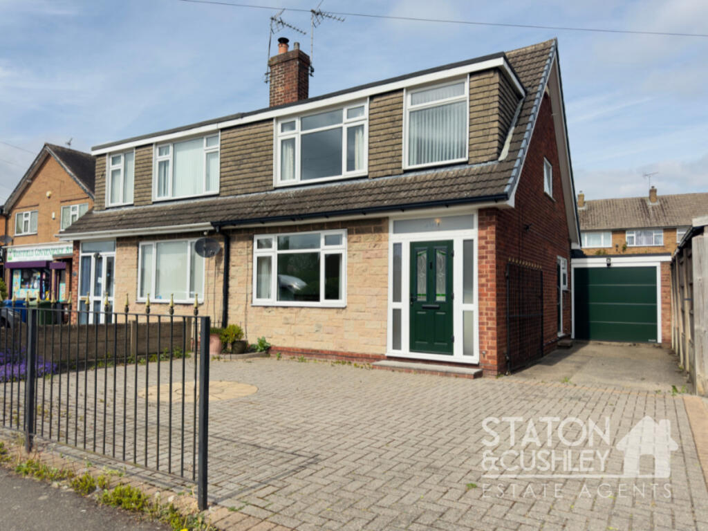
Westfield Lane, Mansfield, NG19
By Staton & Cushley
£ 195,000
Reviews
3 out of 5 stars
Staton & Cushley says ..
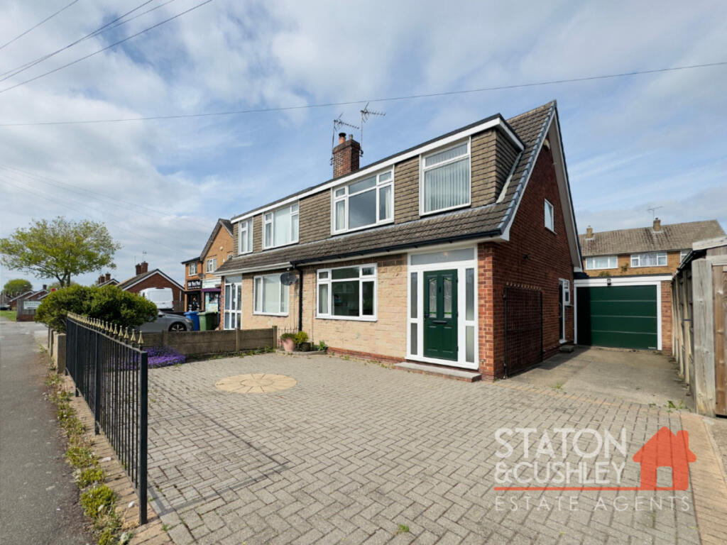
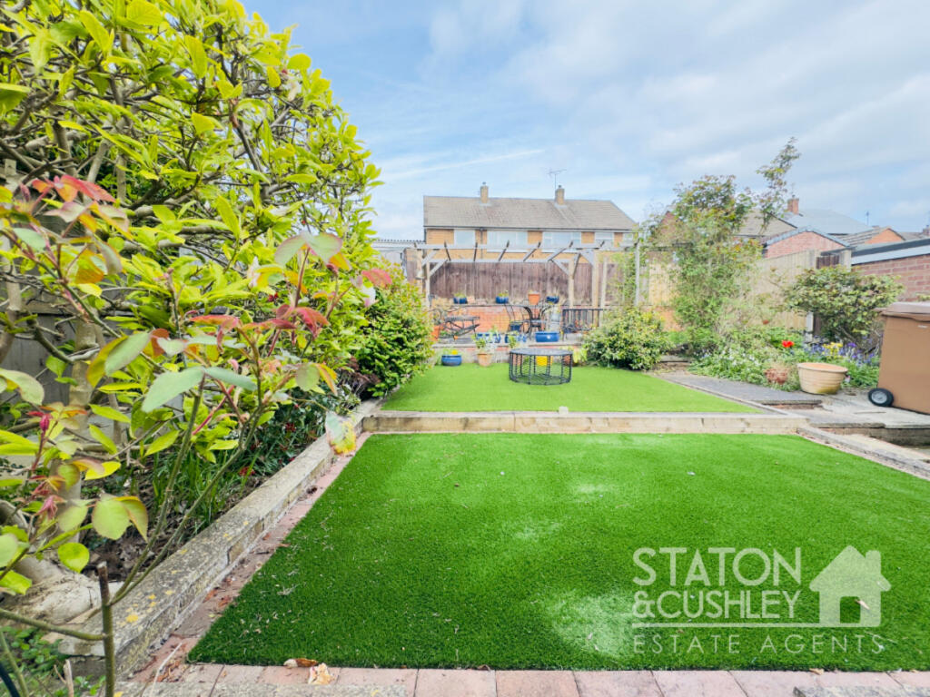
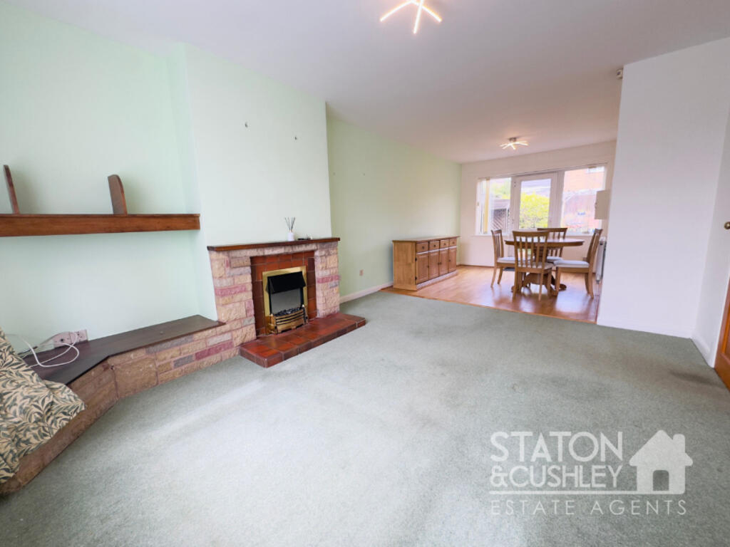
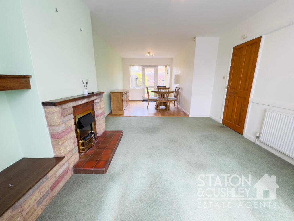
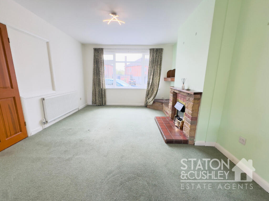
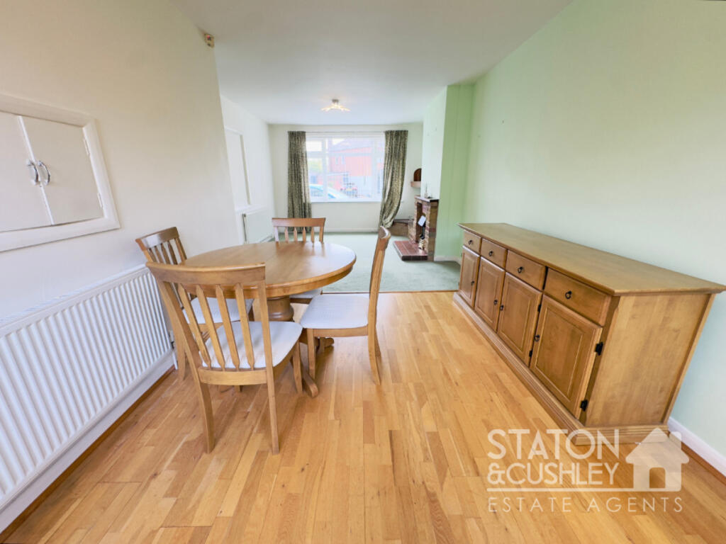
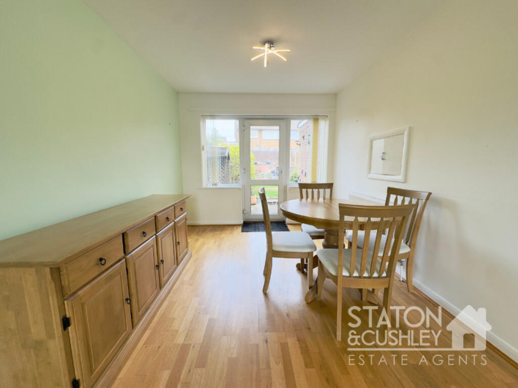
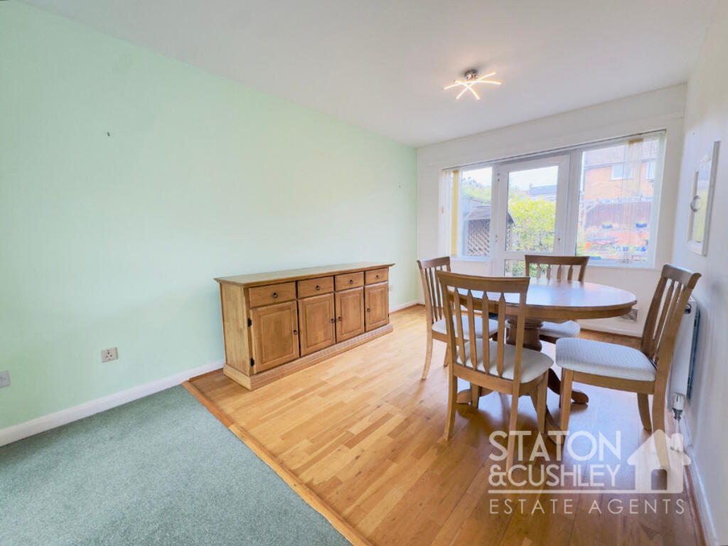
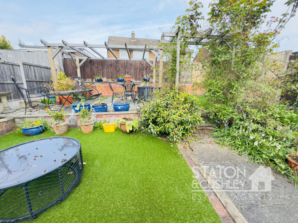
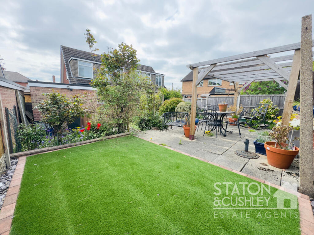
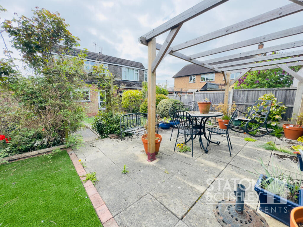
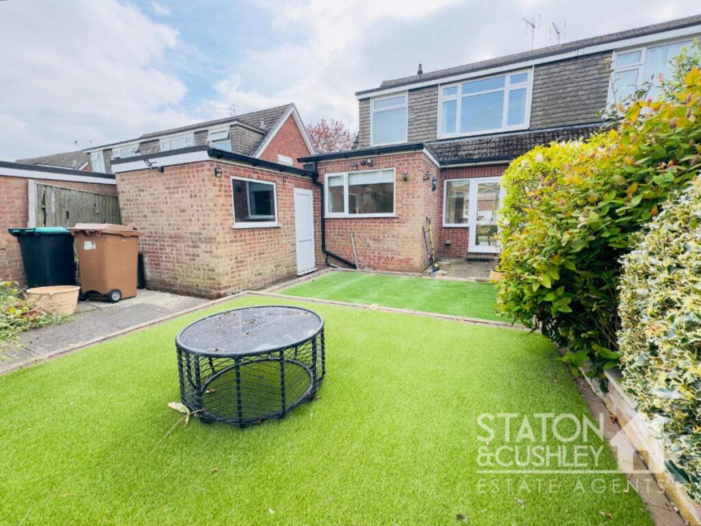
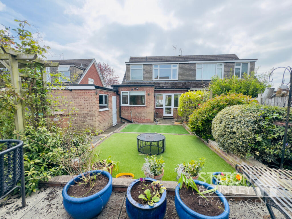
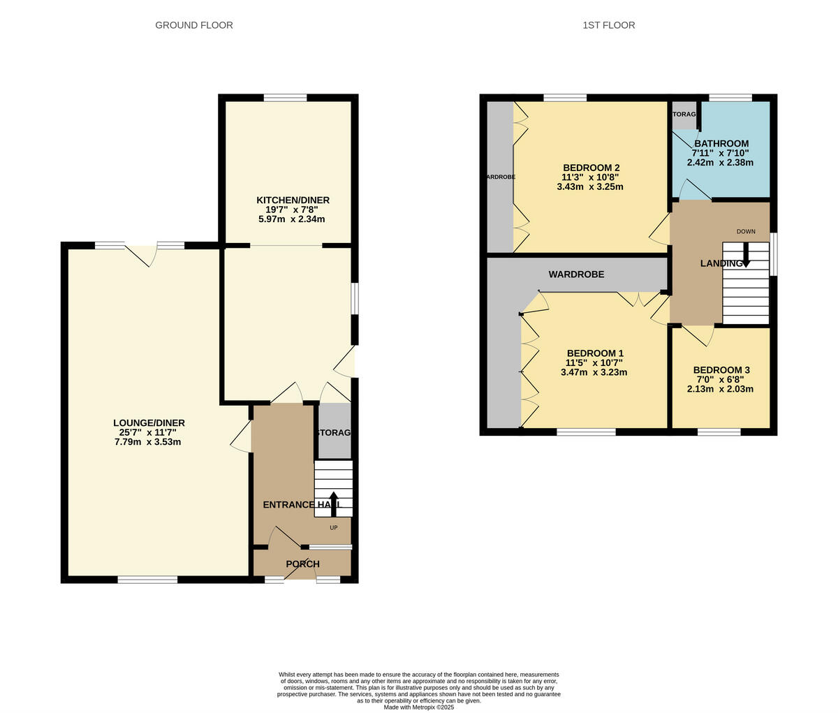
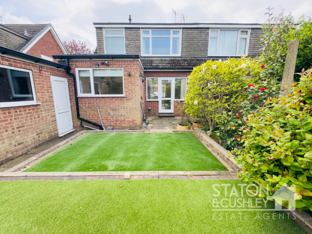
A SUPERB PLOT... Three Bedrooms | Open Plan Lounge/Diner | Front & Rear Gardens | Driveway & Garage | Popular Location
Property Oracle says ..
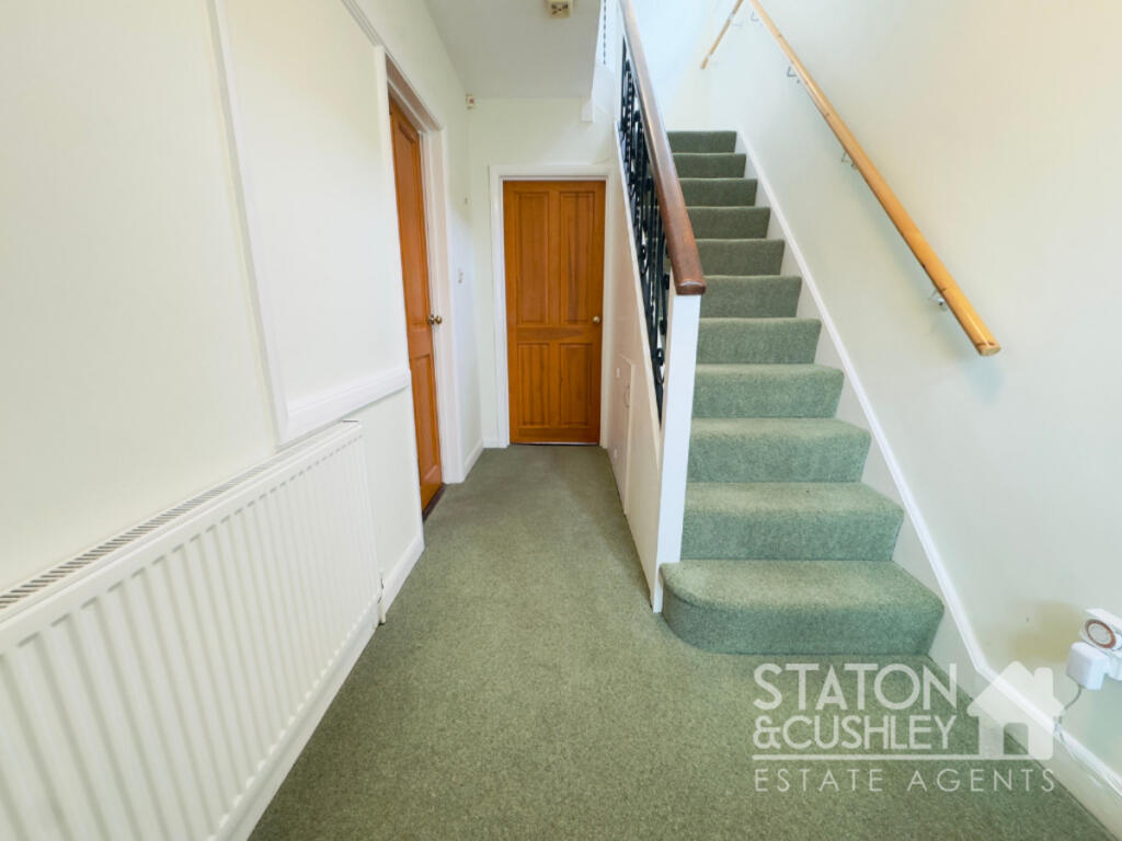
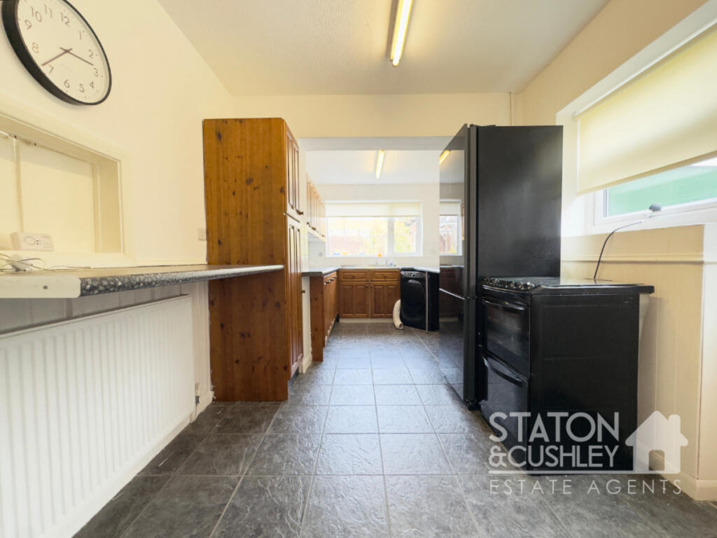
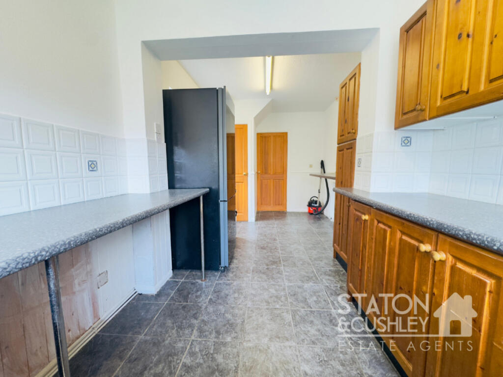
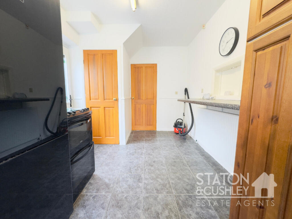
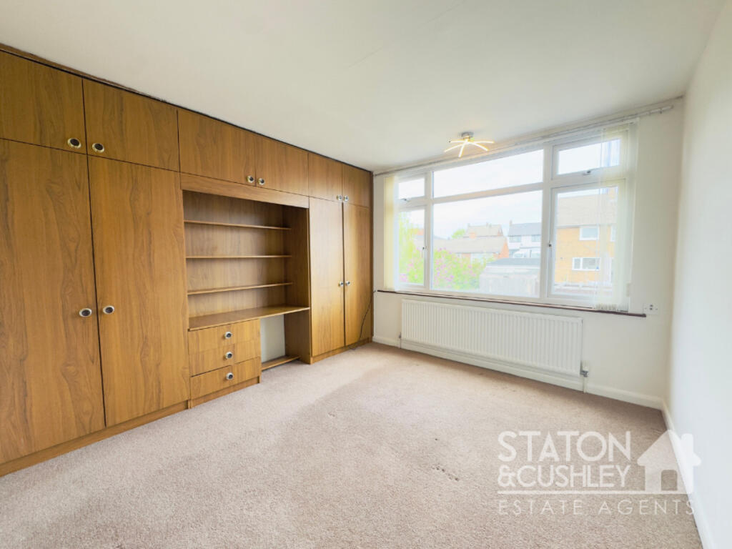
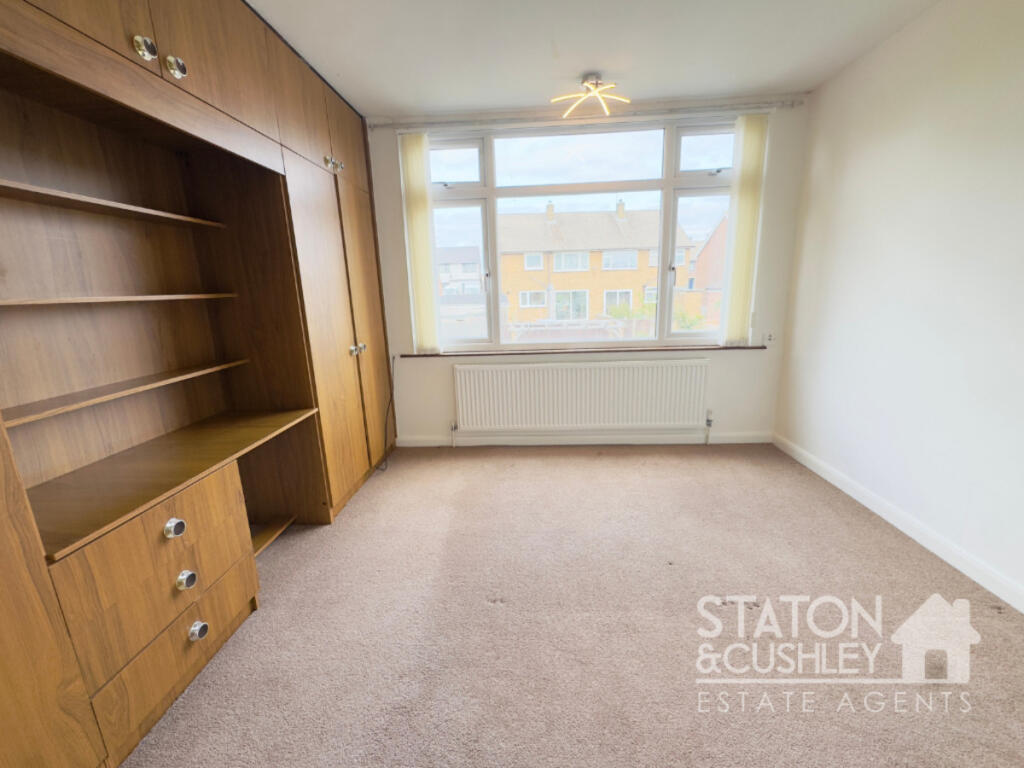
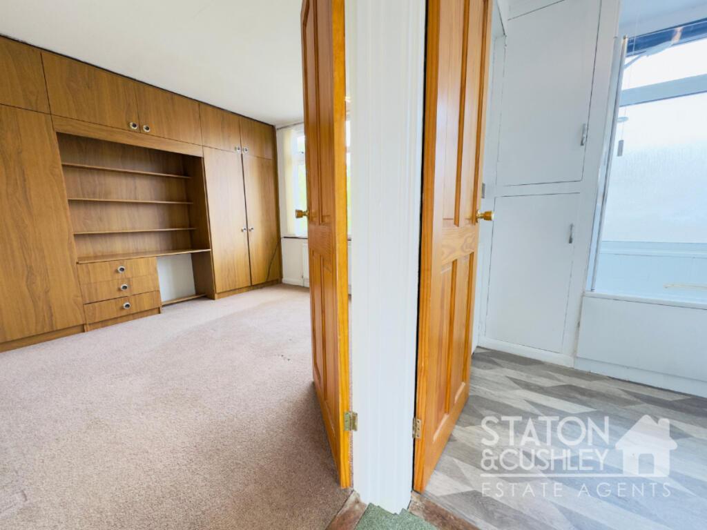
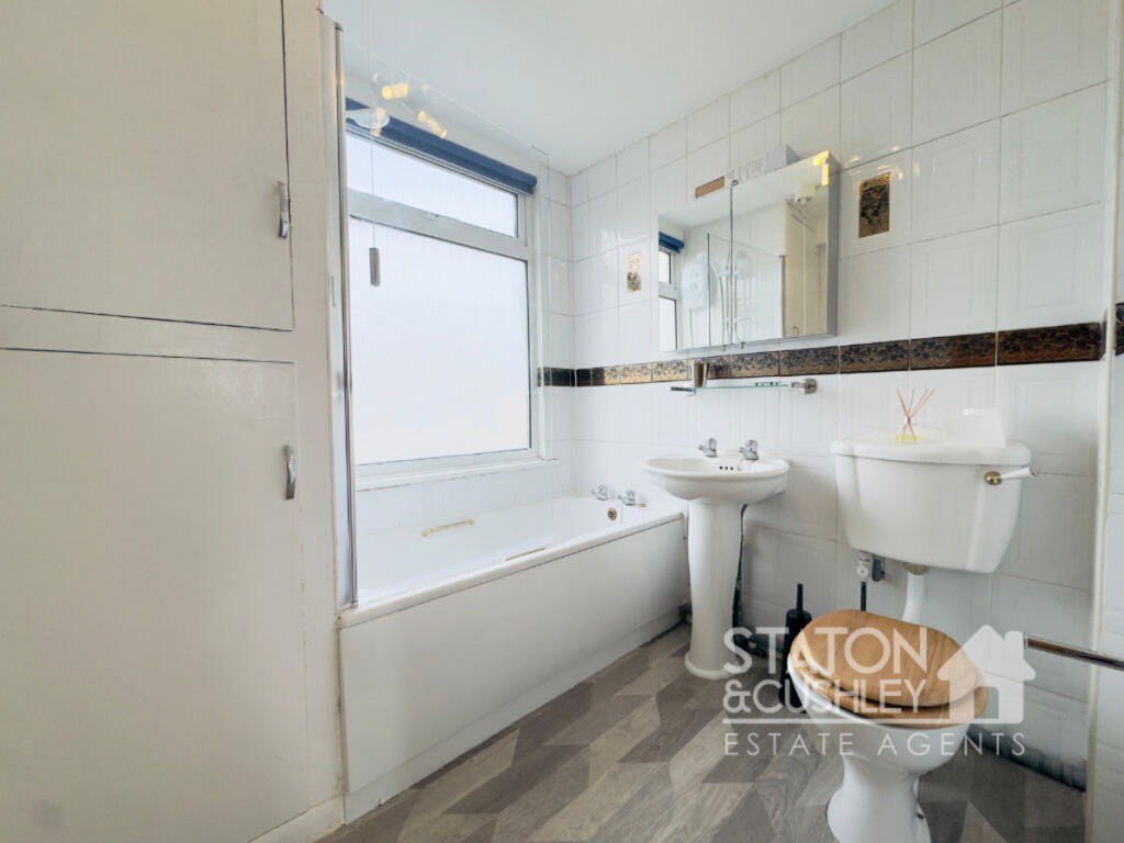
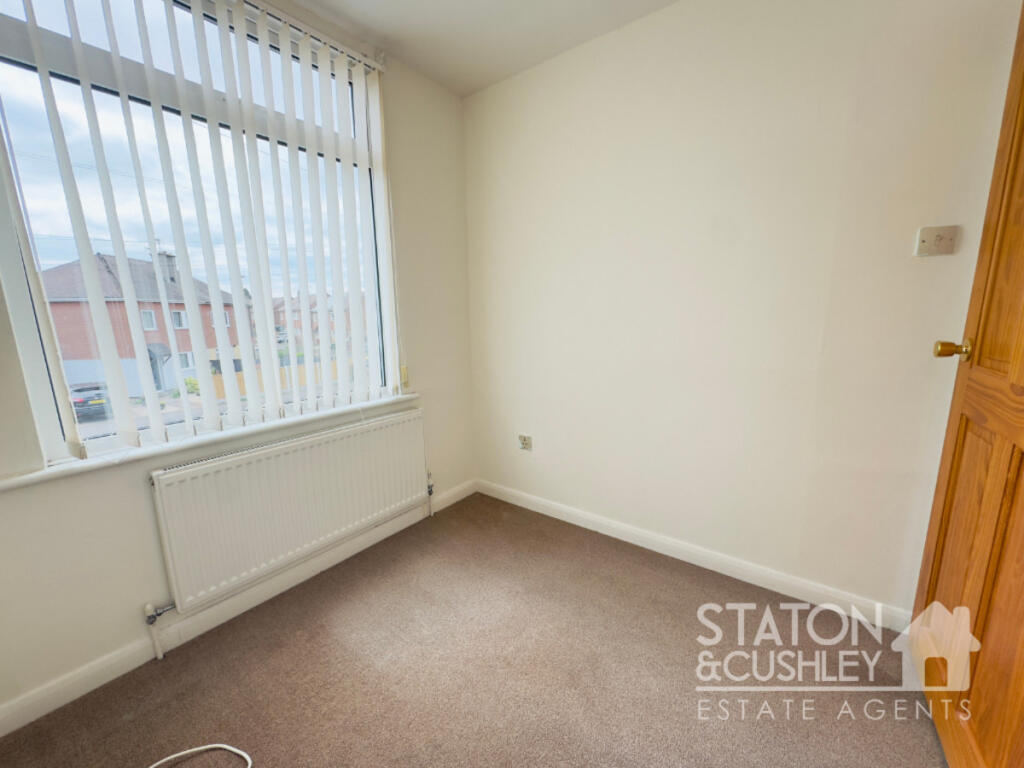
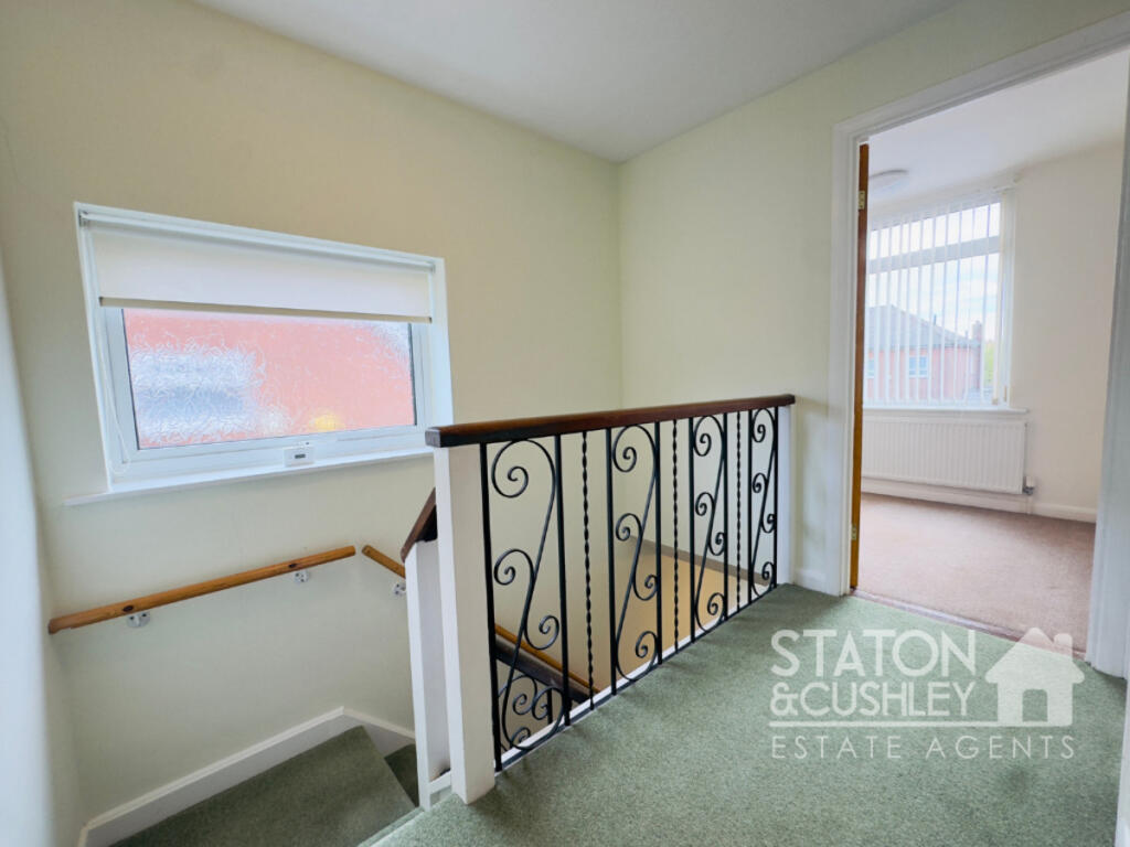
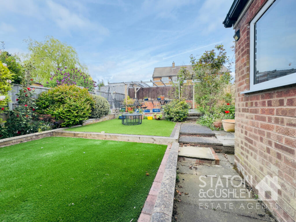
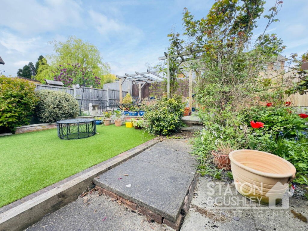
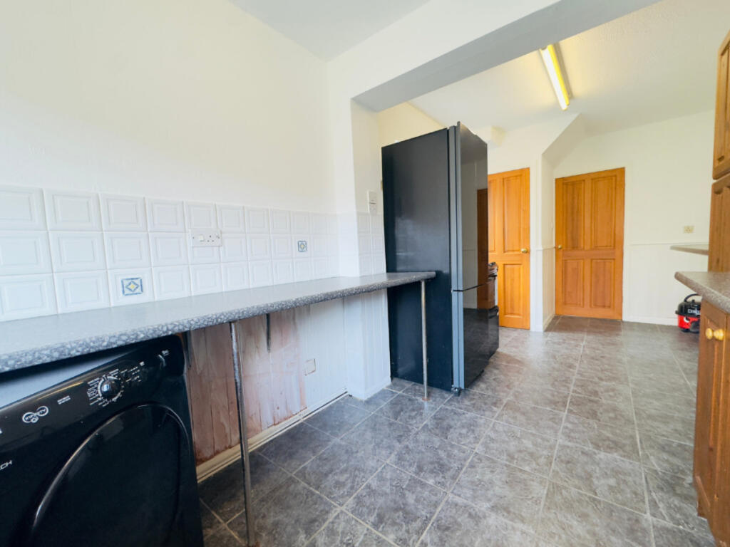
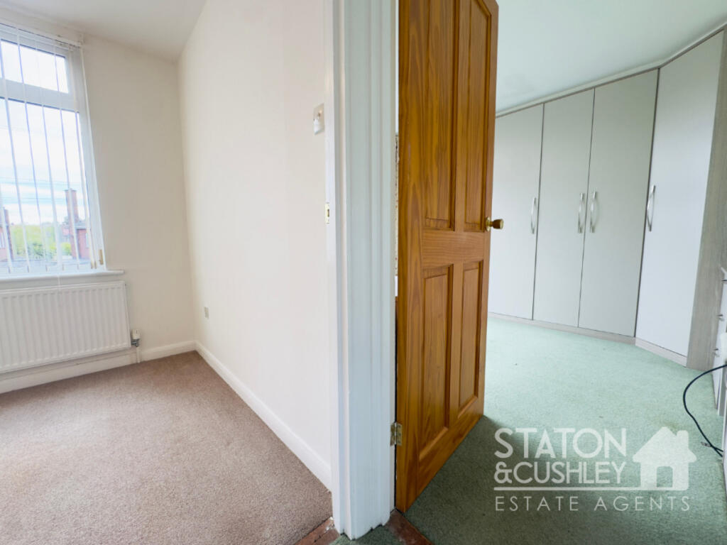
This three-bedroom semi-detached house in Mansfield is located on Westfield Lane, within the Abbott locality. The property benefits from being close to several primary schools, including The Flying High Academy (Good Ofsted rating) and Crescent Primary School (Outstanding Ofsted rating), both within a kilometer’s radius. Mansfield Woodhouse and Mansfield railway stations are also relatively close by, offering convenient access to public transportation. The house itself has a good sized garden, and while the interior images suggest some updating could enhance its appeal, it appears to be structurally sound and habitable. The list price of £195,000 is slightly below the average price for the area (£212,222), and considering the property’s size (810 sqft) and the average price per sqft (£172), it could be considered reasonably priced, especially when compared to some nearby similar properties which are listed at a higher price. However, a lack of information regarding the plot size hinders a complete assessment of the land value.
Therefore, we give this property 7 / 10. *Disclaimer: This is our option and does constitute a recommendation or financial advice. Do your own research. *
- Price
- 8
- Condition
- 7
- Location
- 8
- Land
- 7
- Bedrooms
- 3
- Bathrooms
- 1
- Sqft (est)
- 810.26
The heatmap indicates the level of crime in the area. The color of the heatmap indicates the crime severity and recency.
Metrics Year-on-Year
- Average area value
- 275,000.00 £Decreased by 19.09 %
- Est sale value
- 212,288.12 £Decreased by 16.29 %
- Average area rental value
- 750.00 £/moDecreased by 19.53 %
- Est letting value
- 0.00 £/mo
- Est rental Yield
- 3.27 %Decreased by 0.61 %
- Crime Rate
- 4.00 %Unchanged by 0.00 %
Agent Activity
Staton & Cushley created the listing.
Nearby Schools
| Name | Type | Ofsted | Distance |
|---|---|---|---|
| The Flying High Academy | Academy Sponsor Led | Good | 0.53 KM |
| Ladybrook Children'S Centre | Children's Centre | 0.54 KM | |
| Redgate Primary Academy | Academy Special Sponsor Led | 0.64 KM | |
| Crescent Primary School | Community School | Outstanding | 0.87 KM |
| Intake Farm Primary School | Community School | Good | 1.00 KM |
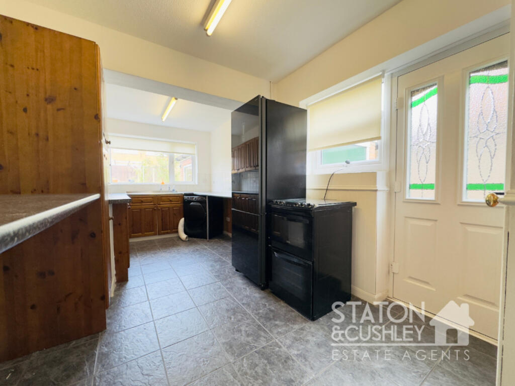
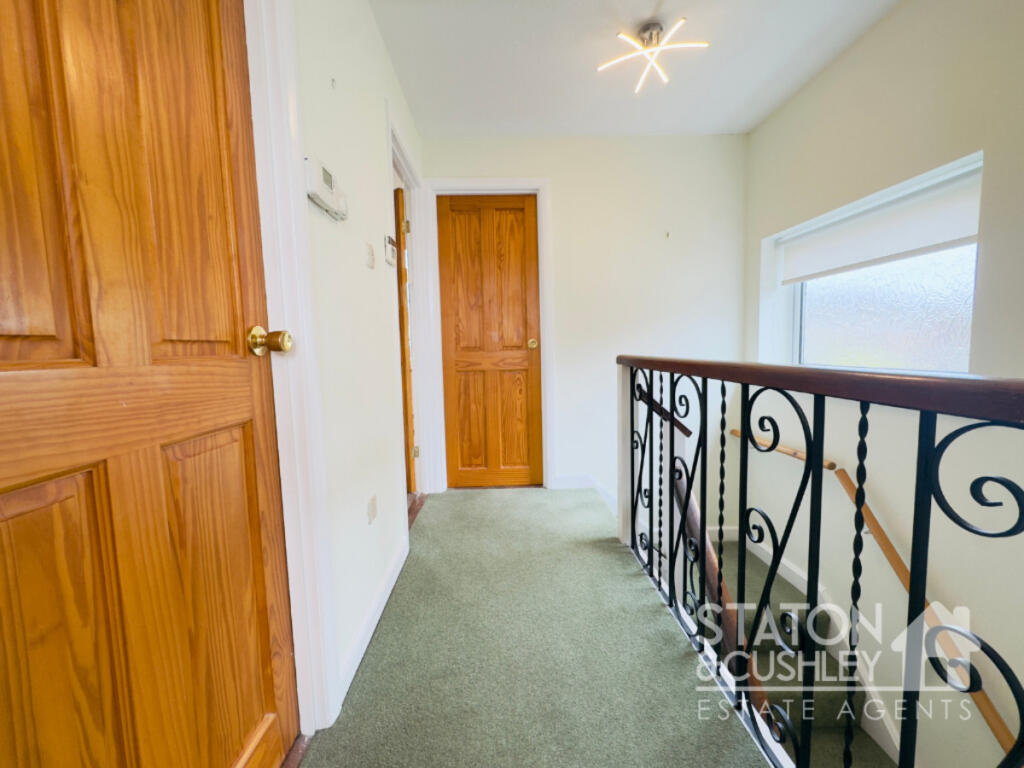
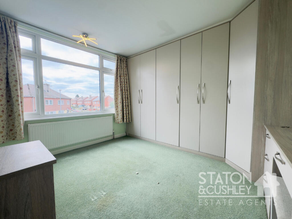
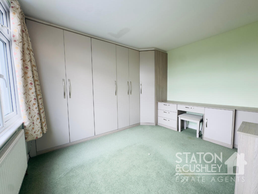
Images

Nearby Streets
| Name | Average Price | Average Sqft | Distance |
|---|---|---|---|
| Pratt Close | £ 0 | 0 | 0.00 KM |
| Drayton Avenue | £ 0 | 0 | 0.00 KM |
| Hall Barn Lane | £ 0 | 0 | 0.00 KM |
| Cheriton Close | £ 0 | 0 | 0.00 KM |
| Westfield Drive | £ 0 | 0 | 0.00 KM |
Nearby Transport
| Name | NLC | TLC | Distance |
|---|---|---|---|
| Mansfield Woodhouse | 1728 | MSW | 2.73 KM |
| Mansfield | 1727 | MFT | 3.09 KM |
| Sutton Parkway | 1861 | SPK | 4.94 KM |
| Shirebrook | 1595 | SHB | 6.18 KM |
| Kirkby-In-Ashfield | 1867 | KKB | 6.70 KM |
Nearby Listings
| Address | Price | Type | Score | Distance |
|---|---|---|---|---|
| Westfield Lane, Mansfield, NG19 | £ 195,000 | BUY | 7 / 10 | 0.00 KM |
| Upton Mount, Mansfield | £ 215,000 | BUY | Unknown | 0.09 KM |
| Upton Mount, Mansfield, NG19 | £ 190,000 | BUY | Unknown | 0.10 KM |
| Westfield Lane, Mansfield, Nottinghamshire | £ 145,000 | BUY | 7 / 10 | 0.13 KM |
| Colwick Close, Mansfield | £ 230,000 | BUY | 7 / 10 | 0.14 KM |
Nearby Properties
| Address | Price | Distance |
|---|---|---|
| 292 Westfield Lane | £ 109,000 | 0.04 KM |
| 282 Westfield Lane | £ 109,500 | 0.04 KM |
| 284 Westfield Lane | £ 125,000 | 0.04 KM |
| 272 Westfield Lane | £ 165,000 | 0.04 KM |
| 266 Westfield Lane | £ 148,500 | 0.04 KM |