CO
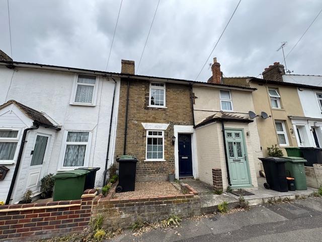
71 Perryfield StreetMaidstoneKent
By Coles Group
£ 1,180
Coles Group says ..
No summary available.
- Bedrooms
- 0
- Bathrooms
- 0
The heatmap indicates the level of crime in the area. The color of the heatmap indicates the crime severity and recency.
Metrics Year-on-Year
- Average area value
- 273,561.00 £Increased by 1.68 %
- Average area rental value
- 1,086.00 £/moDecreased by 11.20 %
- Est rental Yield
- 4.76 %Decreased by 12.66 %
- Crime Rate
- 7.00 %Unchanged by 0.00 %
from 269,040.00 £
from 1,223.00 £/mo
from 5.45 %
from 7.00 %
Agent Activity
Coles Group created the listing.
Nearby Schools
| Name | Type | Ofsted | Distance |
|---|---|---|---|
| North Borough Junior School | Community School | Good | 0.47 KM |
| St Paul'S Infant School | Community School | Good | 0.61 KM |
| Howard De Walden Children'S Centre | Children's Centre | 0.64 KM | |
| Mepa Academy Limited | Other Independent School | 0.82 KM | |
| Maidstone Grammar School For Girls | Foundation School | Outstanding | 1.05 KM |
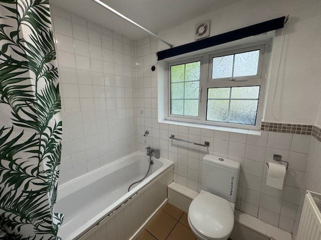
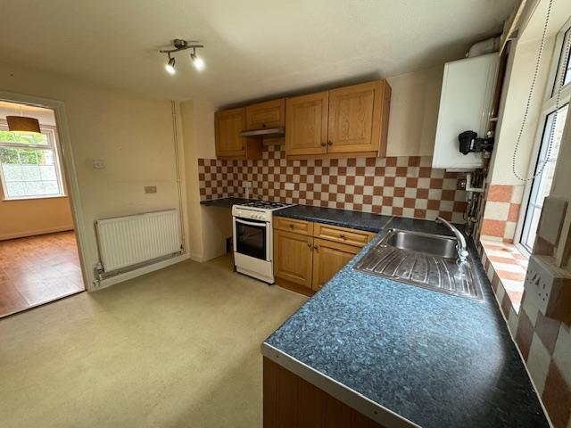
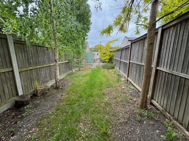
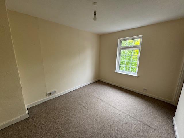
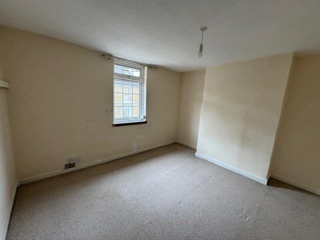
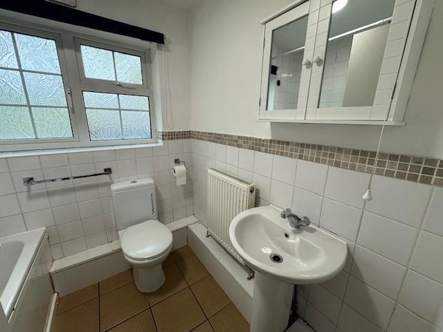
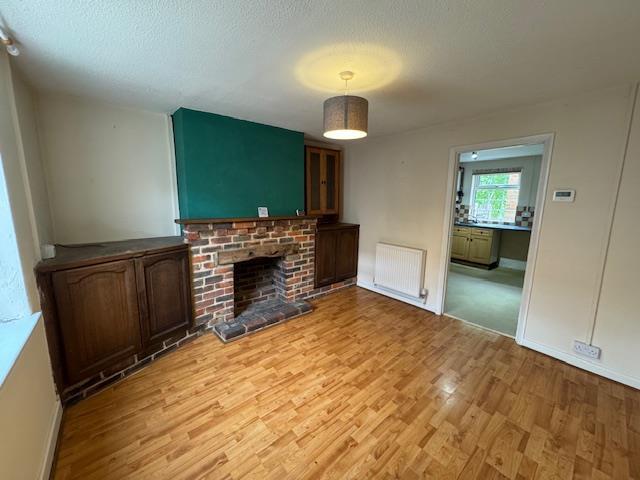
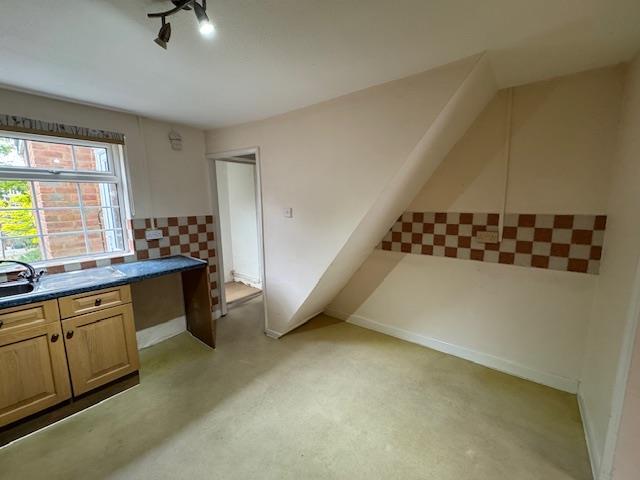
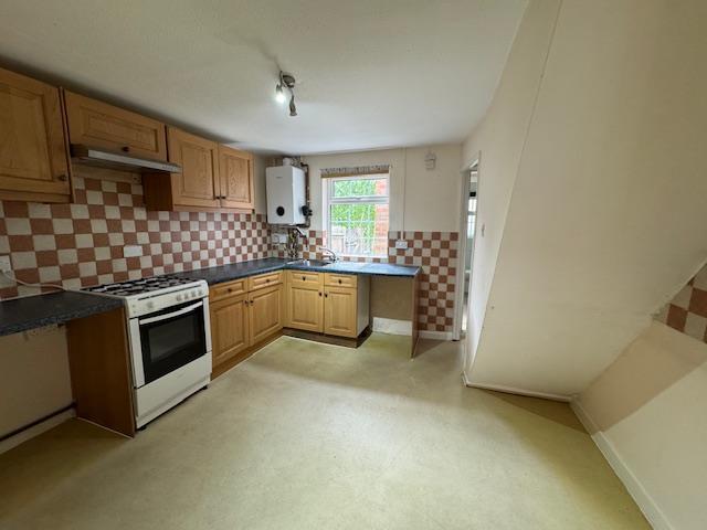
Images
Nearby Streets
| Name | Average Price | Average Sqft | Distance |
|---|---|---|---|
| County Road | £ 600,000 | 0 | 0.00 KM |
| guinevere point | £ 250,000 | 0 | 0.00 KM |
| James Whathan Way | £ 362,852 | 0 | 0.00 KM |
| James Street | £ 0 | 0 | 0.00 KM |
| Waterside | £ 0 | 0 | 0.00 KM |
Nearby Transport
| Name | NLC | TLC | Distance |
|---|---|---|---|
| Maidstone East | 5115 | MDE | 0.46 KM |
| Maidstone Barracks | 5237 | MDB | 0.96 KM |
| Maidstone West | 5222 | MDW | 1.41 KM |
| Barming | 5133 | BMG | 4.69 KM |
| East Farleigh | 5234 | EFL | 5.01 KM |
Nearby Listings
| Address | Price | Type | Score | Distance |
|---|---|---|---|---|
| Perryfield Street, Maidstone | £ 1,450 | RENT | Unknown | 0.03 KM |
| Perryfield Street, Maidstone | £ 750 | RENT | Unknown | 0.07 KM |
| Perry Street, Maidstone, Kent, ME14 | £ 1,250 | RENT | Unknown | 0.07 KM |
| Perry Street, Maidstone, Kent, ME14 | £ 1,250 | RENT | Unknown | 0.07 KM |
| Randall Street, MAIDSTONE | £ 900 | RENT | Unknown | 0.07 KM |
Nearby Properties
| Address | Price | Distance |
|---|---|---|
| 45 Perryfield Street | £ 195,000 | 0.01 KM |
| 55 Perryfield Street | £ 225,000 | 0.01 KM |
| 97 Perryfield Street | £ 210,000 | 0.01 KM |
| 65 Perryfield Street | £ 185,000 | 0.01 KM |
| 33 Perryfield Street | £ 209,500 | 0.01 KM |