Durrants says ..
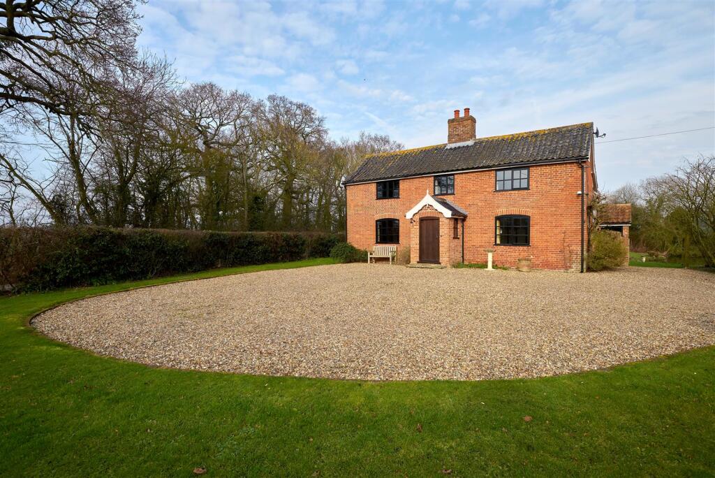
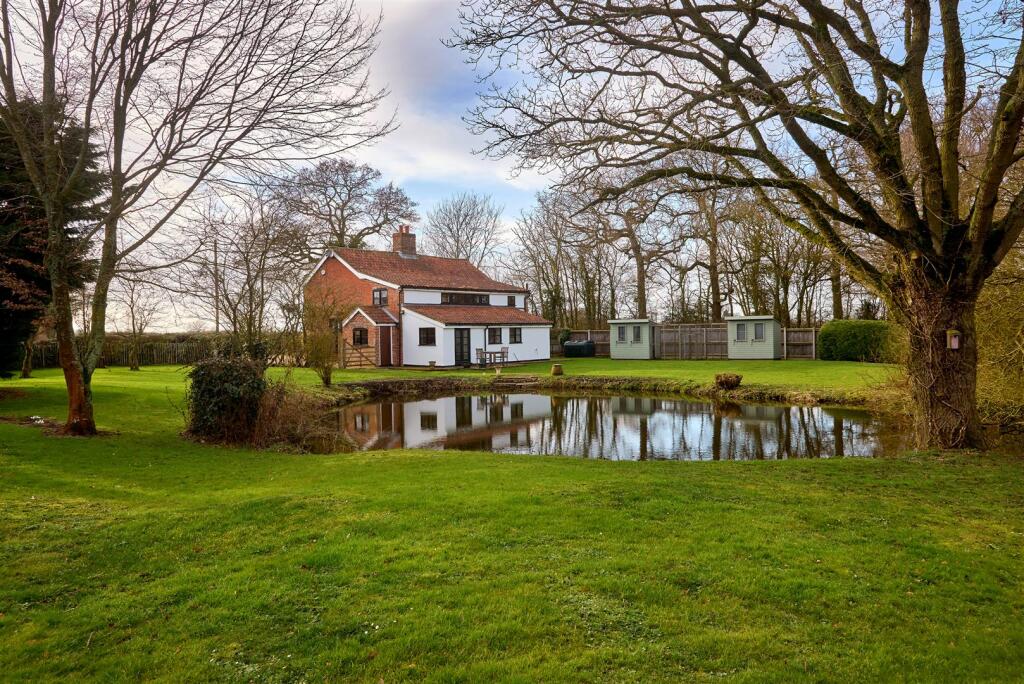
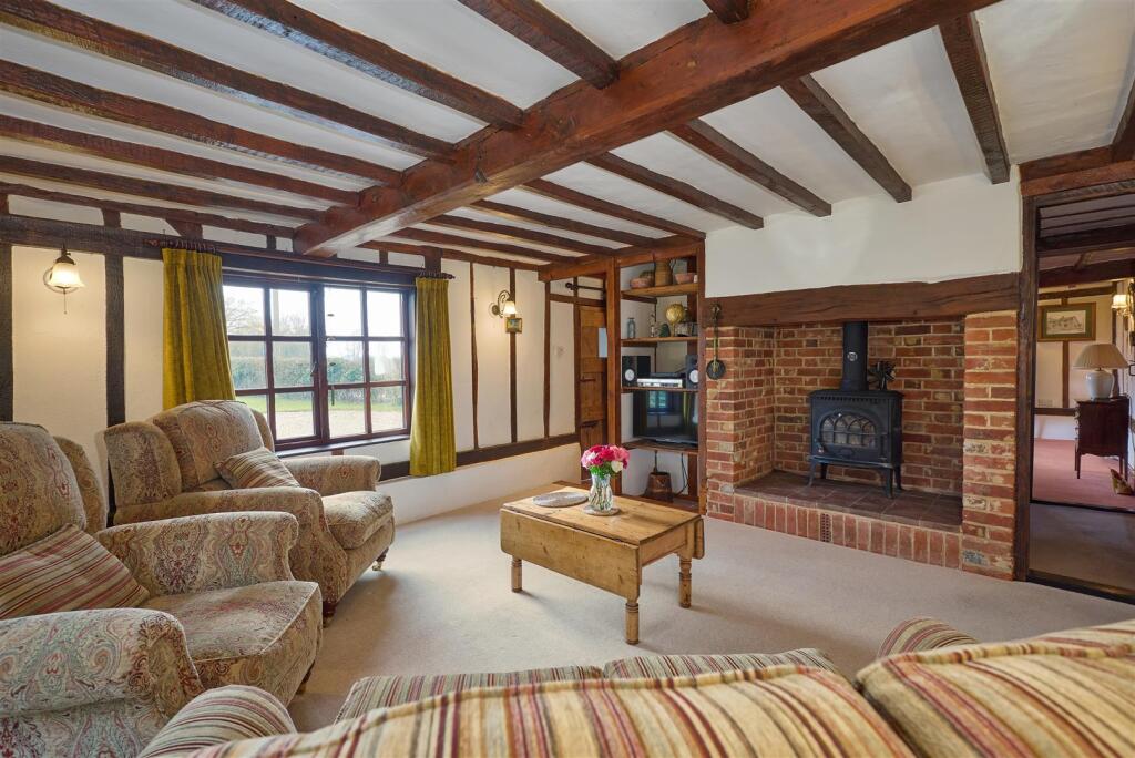
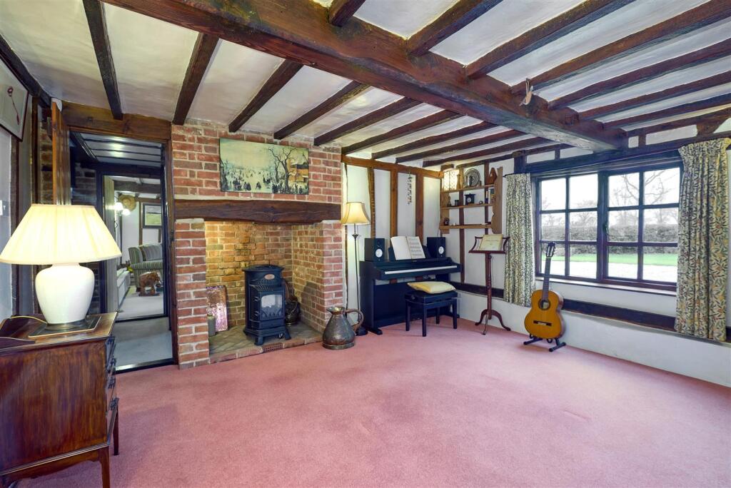
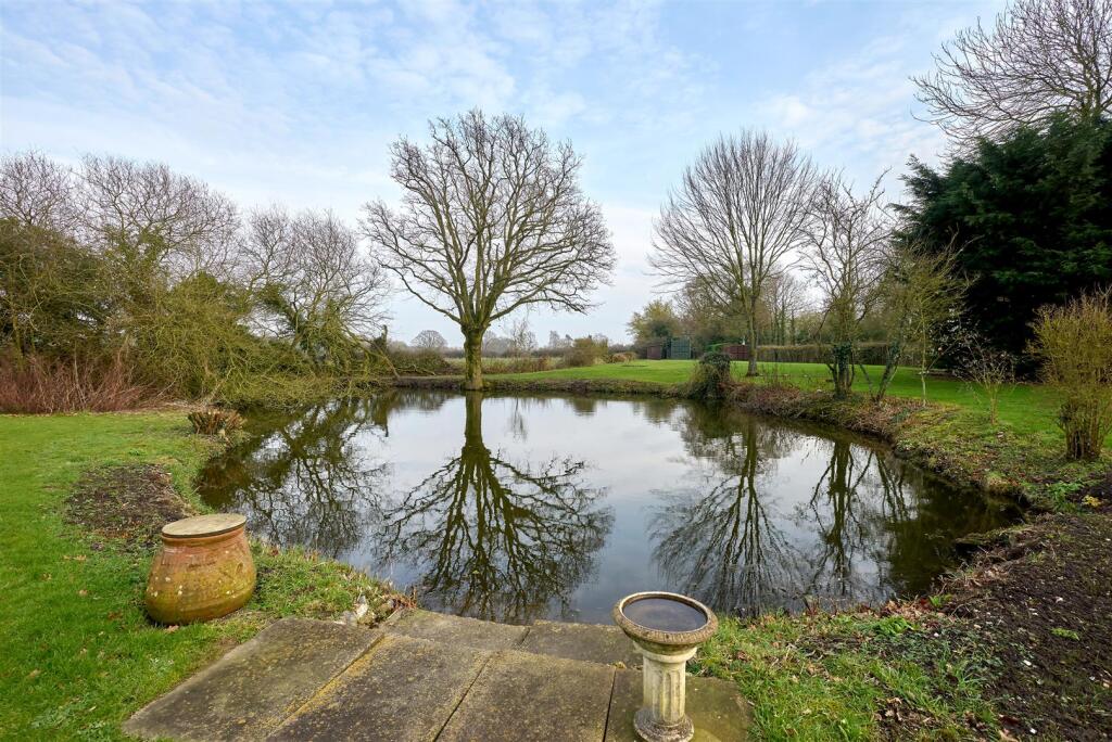
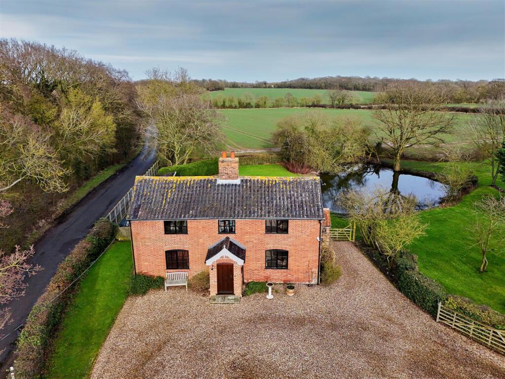
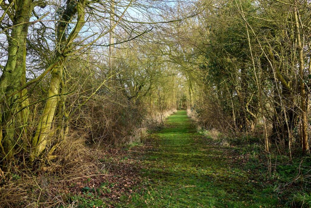
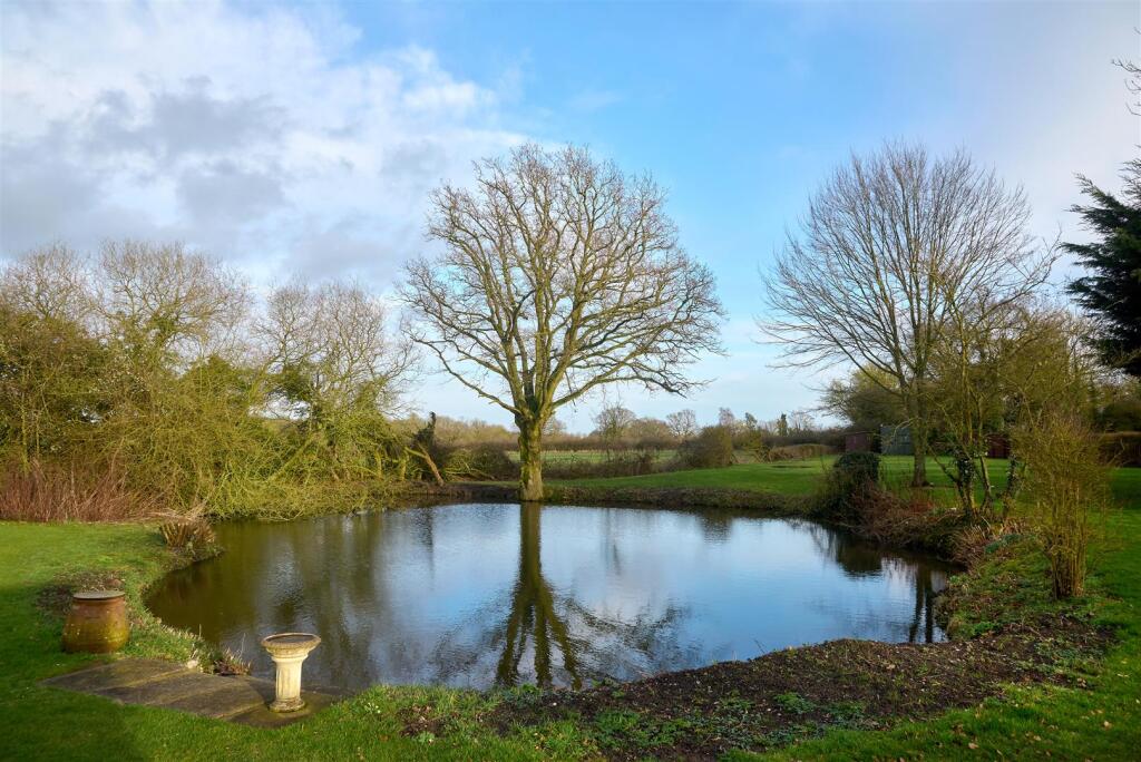
A charming and well-presented farmhouse in a elevated position with rural views. The house has delightful grounds with a pond and stretch of woodland.
Property Oracle says ..
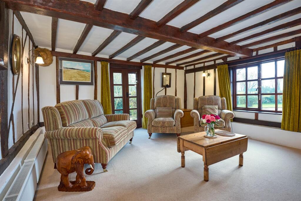
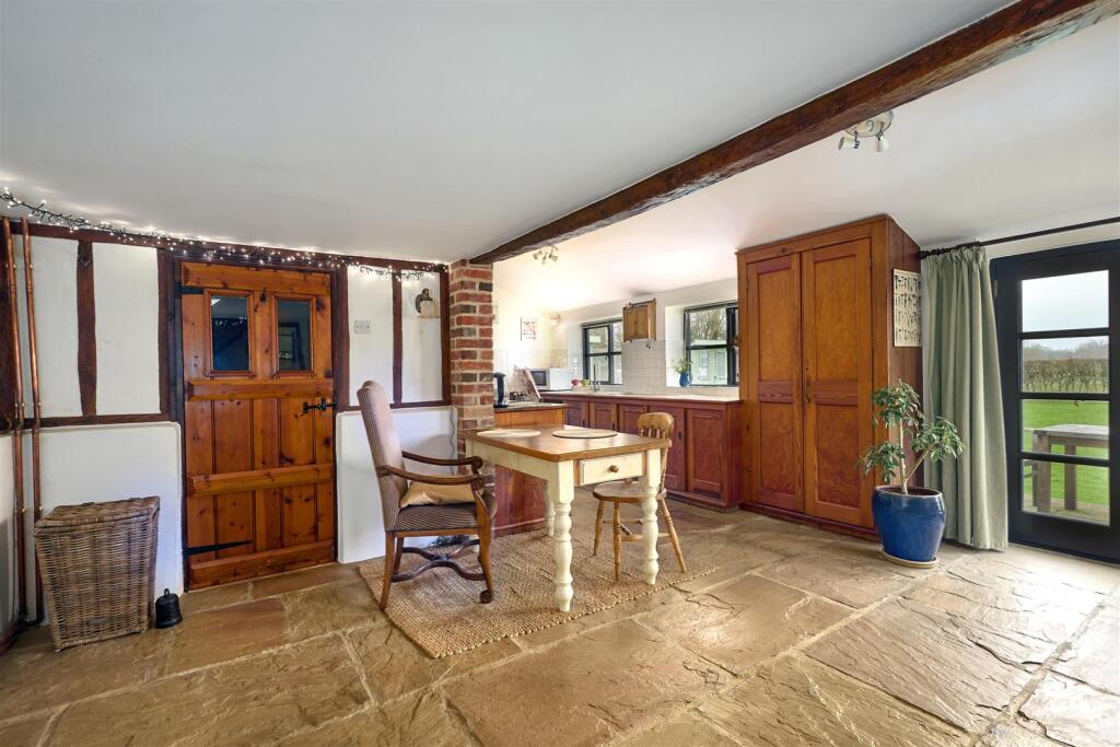
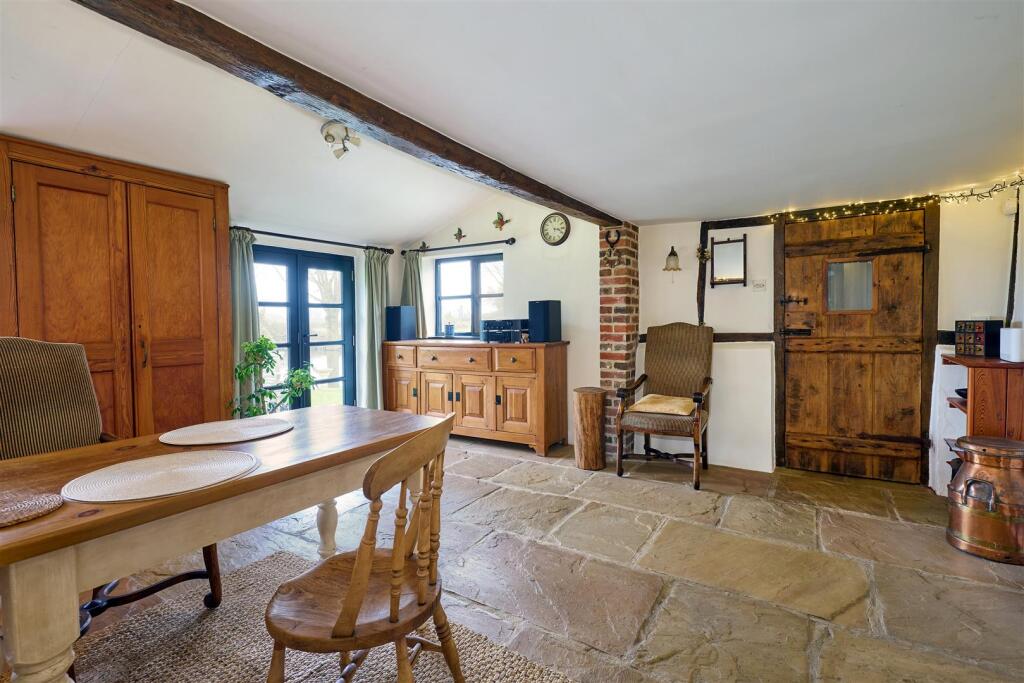
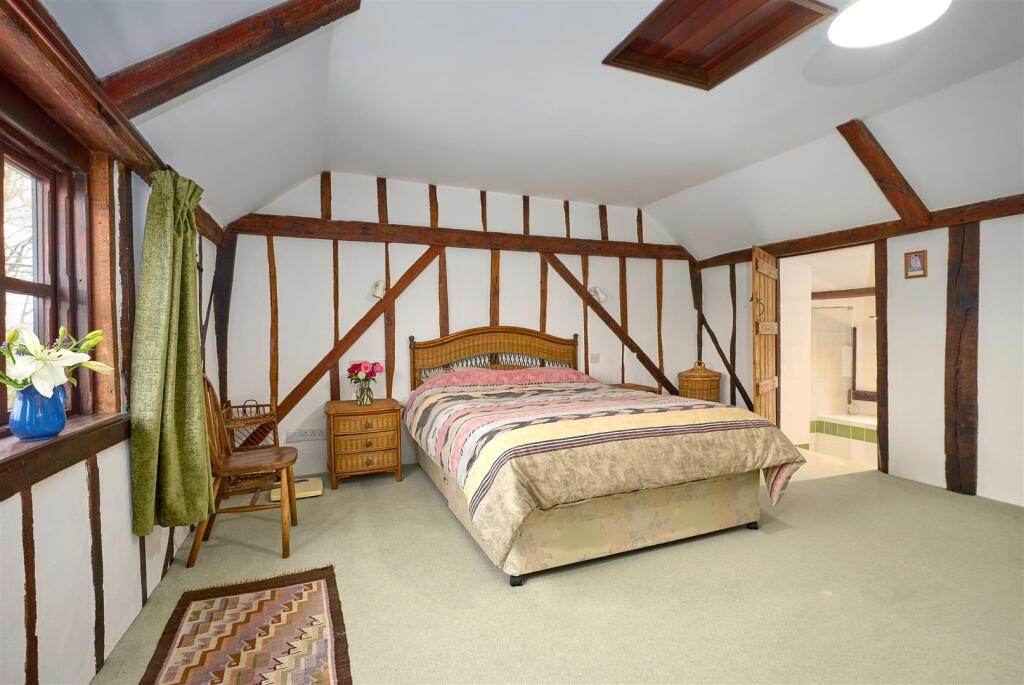
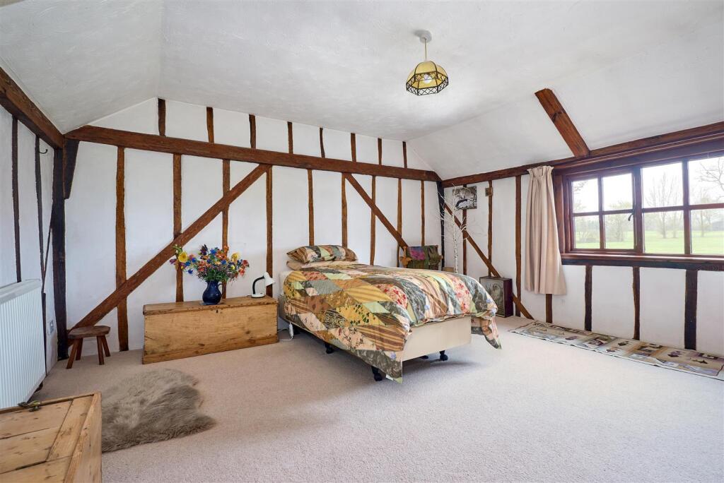
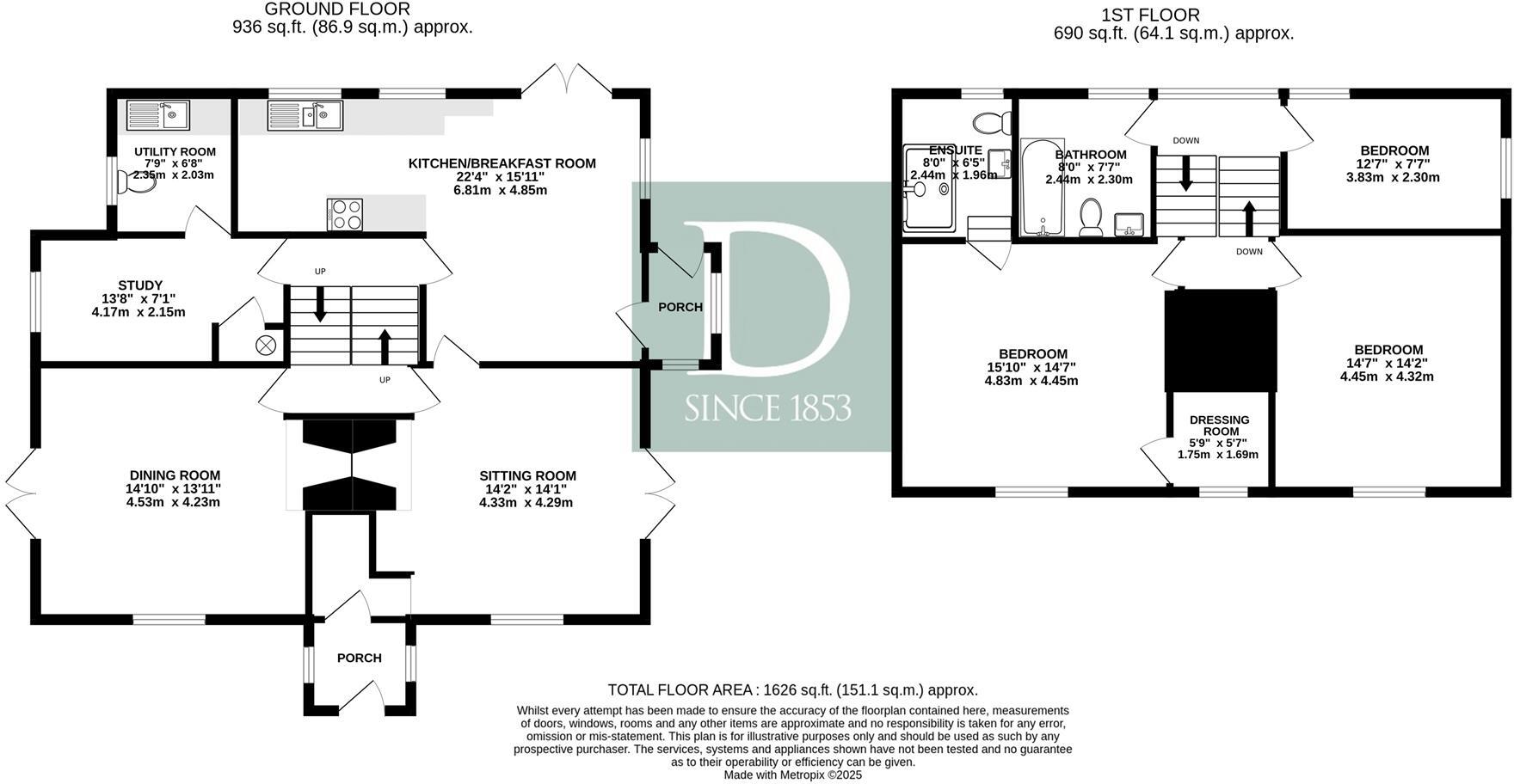
The property is a 3 bedroom, 2 bathroom house located in Fressingfield, Suffolk. Based on the provided images, the property appears to be in good condition, with well-maintained interior and exterior features. The exposed beams and brickwork suggest character and charm, though some modernisation may be desirable depending on buyer preferences. The property benefits from a sizable garden with a pond, adding to its appeal. Fressingfield is a village in Mid Suffolk, and while the provided data doesn’t offer detailed insights into the location’s amenities, the proximity to several primary schools (Fressingfield Church of England Primary School, Mendham Primary School, All Saints Church of England Primary School, Laxfield, and others) suggests a family-friendly environment. The lack of nearby transportation information prevents a comprehensive assessment of this aspect of the location. Considering the average house price in the area is £464,498 and the average price per square foot is £309, the listed price of £595,000 requires further investigation. The absence of square footage for the subject property makes a direct price-per-square-foot comparison impossible. However, considering the property’s apparent condition, the presence of a garden, and the character features, the list price appears to be within a reasonable range compared to other properties in the area, although higher than the average. Further information on the property’s size would allow for a more precise evaluation.
Therefore, we give this property 7 / 10. *Disclaimer: This is our option and does constitute a recommendation or financial advice. Do your own research. *
- Price
- 7
- Condition
- 8
- Location
- 7
- Land
- 8
- Bedrooms
- 3
- Bathrooms
- 2
The heatmap indicates the level of crime in the area. The color of the heatmap indicates the crime severity and recency.
Metrics Year-on-Year
- Average area value
- 576,552.00 £Increased by 4.20 %
- Average area rental value
- 1,383.00 £/moIncreased by 51.15 %
- Est rental Yield
- 2.88 %Increased by 45.45 %
- Crime Rate
- 43.00 %Unchanged by 0.00 %
Agent Activity
Durrants marked this listing as sold.
Durrants created the listing.
Nearby Schools
| Name | Type | Ofsted | Distance |
|---|---|---|---|
| Fressingfield Church Of England Primary School | Academy Converter | 2.34 KM | |
| Mendham Primary School | Academy Converter | Good | 5.59 KM |
| All Saints Church Of England Primary School, Laxfield | Academy Converter | Outstanding | 5.82 KM |
| Harleston Area Children'S Centre | Children's Centre | 7.11 KM | |
| Harleston Cofe Primary Academy | Academy Converter | 7.17 KM |
Images


Nearby Streets
| Name | Average Price | Average Sqft | Distance |
|---|---|---|---|
| Chapel Close | £ 442,500 | 0 | 0.00 KM |
Nearby Listings
| Address | Price | Type | Score | Distance |
|---|---|---|---|---|
| Cratfield Road, Fressingfield | £ 350,000 | BUY | 6 / 10 | 0.71 KM |
| Whittingham Hall, Metfield Road, Fressingfield, Eye, Suffolk, IP21 5SB | £ 8,250,000 | BUY | 6 / 10 | 1.22 KM |
| Lot 3 , Whittingham Hall, Metfield Road, Fressingfield, Eye, Suffolk, IP21 5SB | £ 890,000 | BUY | 7 / 10 | 1.22 KM |
| Lot 4 , Whittingham Hall, Metfield Road, Fressingfield, Eye, Suffolk, IP21 5SB | £ 560,000 | BUY | 7 / 10 | 1.22 KM |
| Lot 2, Whittingham Hall, Metfield Road, Fressingfield, Eye, Suffolk, IP21 5SB | £ 2,900,000 | BUY | 10 / 10 | 1.22 KM |
Nearby Properties
| Address | Price | Distance |
|---|---|---|
| Oak Farm Barn | £ 1,550,000 | 0.24 KM |
| Slades Farm | £ 585,000 | 0.24 KM |
| Oak Farm | £ 900,000 | 0.24 KM |
| Elm Cottage | £ 405,000 | 1.67 KM |
| Hardys | £ 405,000 | 1.69 KM |