PL
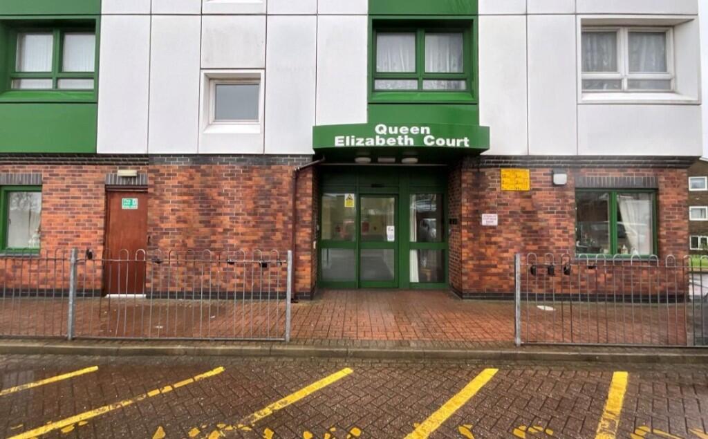
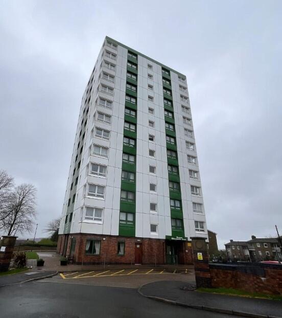
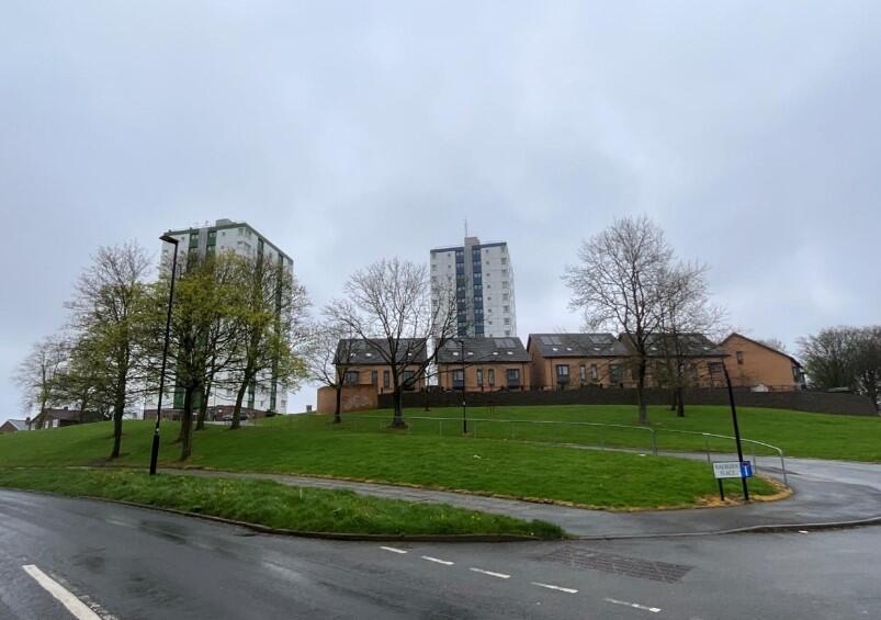
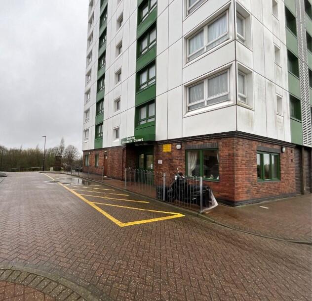
*OVER 55's* Queen Elizabeth Court, Raeburn Place, Sheffield, S14
By Places for People
£ 141
Places for People says ..
One Bedroom, 8th Floor Flat
- Bedrooms
- 1
- Bathrooms
- 0
The heatmap indicates the level of crime in the area. The color of the heatmap indicates the crime severity and recency.
Metrics Year-on-Year
- Average area value
- 249,086.00 £Increased by 9.23 %
- Average area rental value
- 803.00 £/moDecreased by 14.48 %
- Est rental Yield
- 3.87 %Decreased by 21.66 %
- Crime Rate
- 5.00 %Unchanged by 0.00 %
from 228,039.00 £
from 939.00 £/mo
from 4.94 %
from 5.00 %
Agent Activity
Places for People created the listing.
Nearby Schools
| Name | Type | Ofsted | Distance |
|---|---|---|---|
| Woodlands Primary School | Academy Sponsor Led | Requires improvement | 0.36 KM |
| Valley Park Children'S Centre | Children's Centre | 0.45 KM | |
| Bankwood Community Primary School | Community School | Good | 1.60 KM |
| Bankwood Children'S Centre | Children's Centre Linked Site | 1.68 KM | |
| Sheffield Springs Academy | Academy Sponsor Led | Good | 1.74 KM |
Images
Nearby Streets
| Name | Average Price | Average Sqft | Distance |
|---|---|---|---|
| Raeburn Place | £ 0 | 0 | 0.00 KM |
| Landseer Drive | £ 140,000 | 0 | 0.00 KM |
| Landseer Close | £ 150,000 | 0 | 0.00 KM |
| Constable Drive | £ 147,500 | 0 | 0.00 KM |
| Toll Bar Drive | £ 183,000 | 0 | 0.00 KM |
Nearby Transport
| Name | NLC | TLC | Distance |
|---|---|---|---|
| Sheffield | 6691 | SHF | 4.60 KM |
| Darnall | 6729 | DAN | 5.45 KM |
| Dronfield | 6616 | DRO | 5.71 KM |
| Dore And Totley | 6690 | DOR | 8.58 KM |
| Meadowhall | 6663 | MHS | 8.73 KM |
Nearby Listings
| Address | Price | Type | Score | Distance |
|---|---|---|---|---|
| *OVER 55's* Queen Elizabeth Court, Raeburn Place, Sheffield, S14 | £ 141 | RENT | Unknown | 0.00 KM |
| Morland Road, Sheffield, S14 | £ 850 | RENT | Unknown | 0.17 KM |
| Morland Road, Herdings, S14 | £ 600 | RENT | Unknown | 0.29 KM |
| Morland Road, Sheffield, S14 | £ 850 | RENT | Unknown | 0.43 KM |
| Morland Road, S14 | £ 825 | RENT | Unknown | 0.54 KM |
Nearby Properties
| Address | Price | Distance |
|---|---|---|
| 8 Morland Bank | £ 115,000 | 0.12 KM |
| 1 Morland Bank | £ 95,000 | 0.12 KM |
| 7 Morland Bank | £ 115,000 | 0.12 KM |
| 9 Morland Bank | £ 115,000 | 0.12 KM |
| 3 Morland Bank | £ 125,000 | 0.13 KM |