ED
High Street, Bewdley
By Eden Midcalf
£ 875
Eden Midcalf says ..
No summary available.
- Bedrooms
- 2
- Bathrooms
- 1
The heatmap indicates the level of crime in the area. The color of the heatmap indicates the crime severity and recency.
Metrics Year-on-Year
- Average area value
- 477,459.00 £Increased by 4.94 %
- Average area rental value
- 939.00 £/moIncreased by 30.96 %
- Est rental Yield
- 2.36 %Increased by 24.87 %
- Crime Rate
- 12.00 %Unchanged by 0.00 %
from 454,969.00 £
from 717.00 £/mo
from 1.89 %
from 12.00 %
Agent Activity
Eden Midcalf created the listing.
Nearby Schools
| Name | Type | Ofsted | Distance |
|---|---|---|---|
| The Bewdley School | Foundation School | Good | 1.12 KM |
| Riverside Children'S Centre | Children's Centre | 1.14 KM | |
| Bewdley Primary School | Community School | Good | 1.15 KM |
| St Anne'S Cofe Vc Primary School | Voluntary Controlled School | Good | 1.64 KM |
| Wribbenhall School | Other Independent School | 1.86 KM |
Images
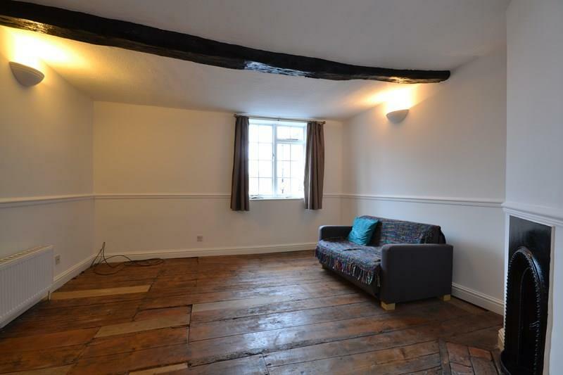
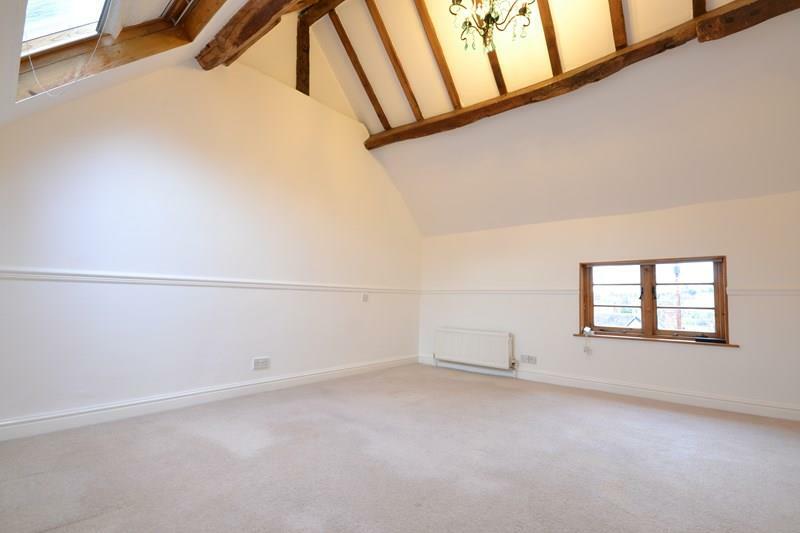
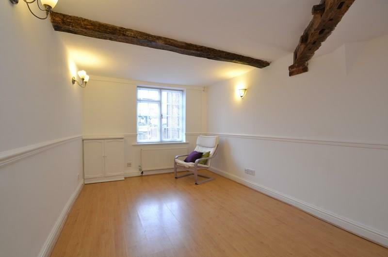
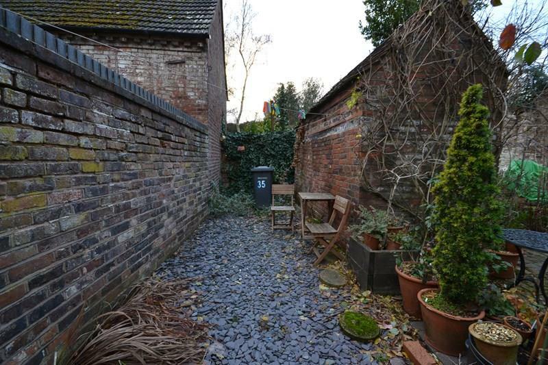
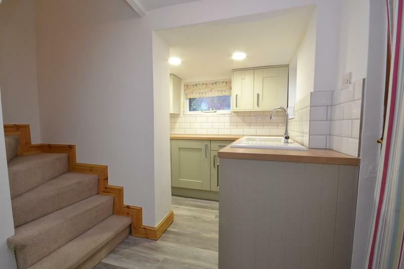
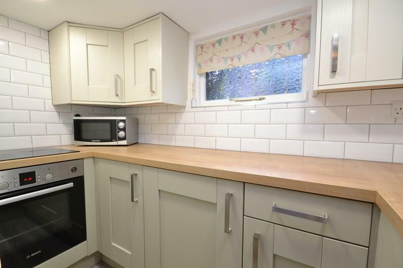
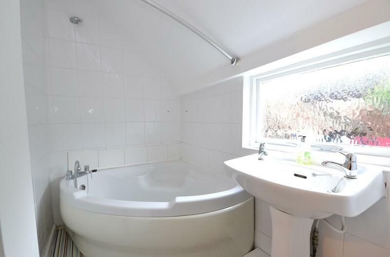
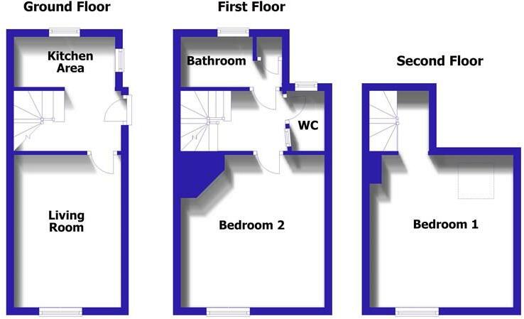
Nearby Streets
| Name | Average Price | Average Sqft | Distance |
|---|---|---|---|
| The Park | £ 0 | 0 | 0.00 KM |
| Dog Lane Mews | £ 0 | 0 | 0.00 KM |
| Severnside North | £ 0 | 0 | 0.00 KM |
| The Gob | £ 0 | 0 | 0.00 KM |
| Pritchard Court | £ 0 | 0 | 0.00 KM |
Nearby Transport
| Name | NLC | TLC | Distance |
|---|---|---|---|
| Kidderminster | 4581 | KID | 8.63 KM |
Nearby Listings
| Address | Price | Type | Score | Distance |
|---|---|---|---|---|
| Load Street, Bewdley, DY12 | £ 625 | RENT | Unknown | 0.25 KM |
| Load Street, Bewdley, DY12 | £ 795 | RENT | Unknown | 0.25 KM |
| Hafren Court, Bewdley | £ 850 | RENT | Unknown | 0.26 KM |
| High Street, Bewdley | £ 1,200 | RENT | Unknown | 0.27 KM |
| Dog Lane, Bewdley | £ 1,100 | RENT | Unknown | 0.32 KM |
Nearby Properties
| Address | Price | Distance |
|---|---|---|
| 4 The Park | £ 220,000 | 0.06 KM |
| 5 The Park | £ 259,000 | 0.08 KM |
| 6 The Park | £ 110,000 | 0.08 KM |
| 45 High Street | £ 152,500 | 0.14 KM |
| 63a High Street | £ 425,000 | 0.14 KM |