
BE
Cook Street, Whiston, L35
By Belvoir
£ 875
Belvoir says ..
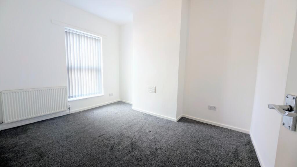
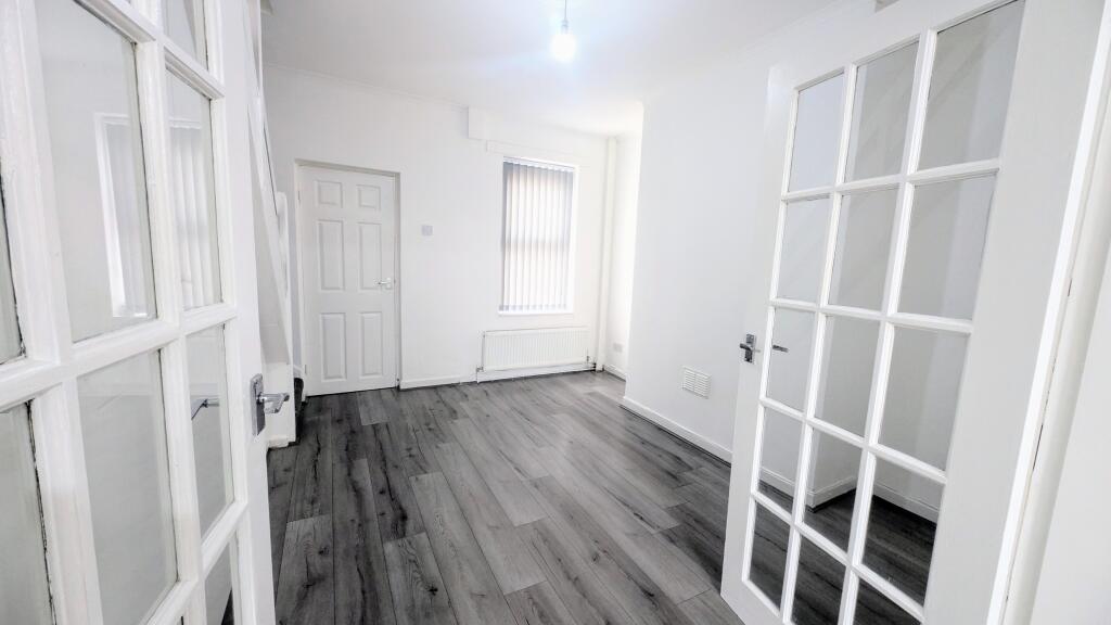
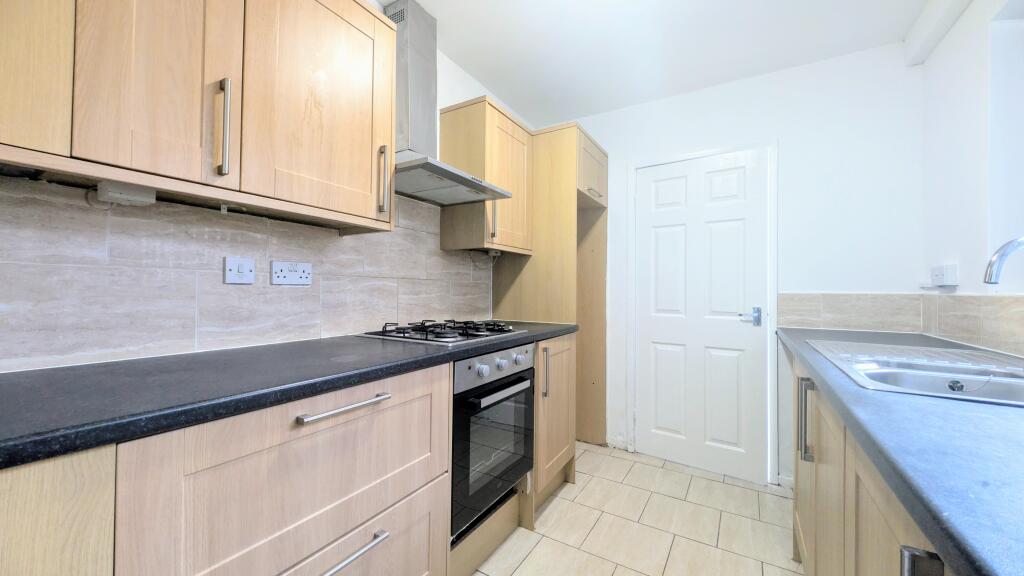
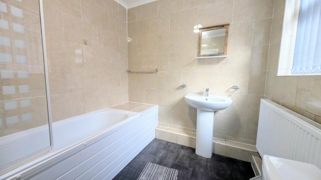
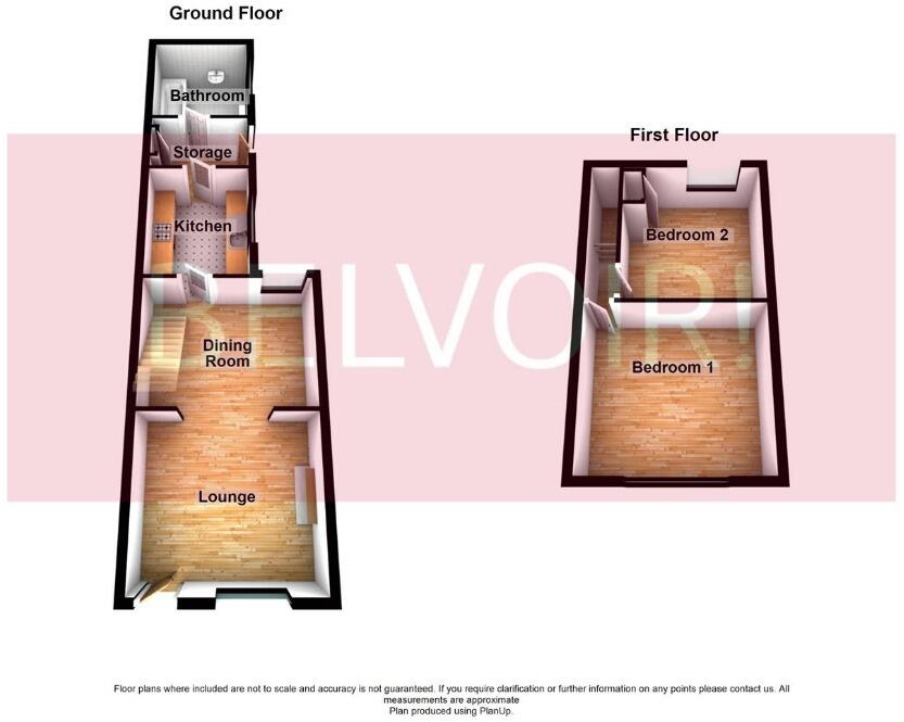
Two bedroom mid terrace home within walking distance to Whiston Hospital
- Bedrooms
- 2
- Bathrooms
- 1
The heatmap indicates the level of crime in the area. The color of the heatmap indicates the crime severity and recency.
Metrics Year-on-Year
- Average area value
- 196,250.00 £Decreased by 11.30 %
- Average area rental value
- 1,036.00 £/moIncreased by 25.58 %
- Est rental Yield
- 6.33 %Increased by 41.61 %
- Crime Rate
- 11.00 %Unchanged by 0.00 %
from 221,261.00 £
from 825.00 £/mo
from 4.47 %
from 11.00 %
Agent Activity
Belvoir created the listing.
Nearby Schools
| Name | Type | Ofsted | Distance |
|---|---|---|---|
| St Luke'S Catholic Primary School | Voluntary Aided School | Requires improvement | 0.46 KM |
| Saint Edmund Arrowsmith Catholic Academy | Academy Sponsor Led | 0.79 KM | |
| Prescot Primary School | Community School | Requires improvement | 0.86 KM |
| Whiston Willis Primary Academy | Academy Converter | 0.93 KM | |
| Eccleston Lane Ends Primary School | Voluntary Controlled School | Outstanding | 1.18 KM |
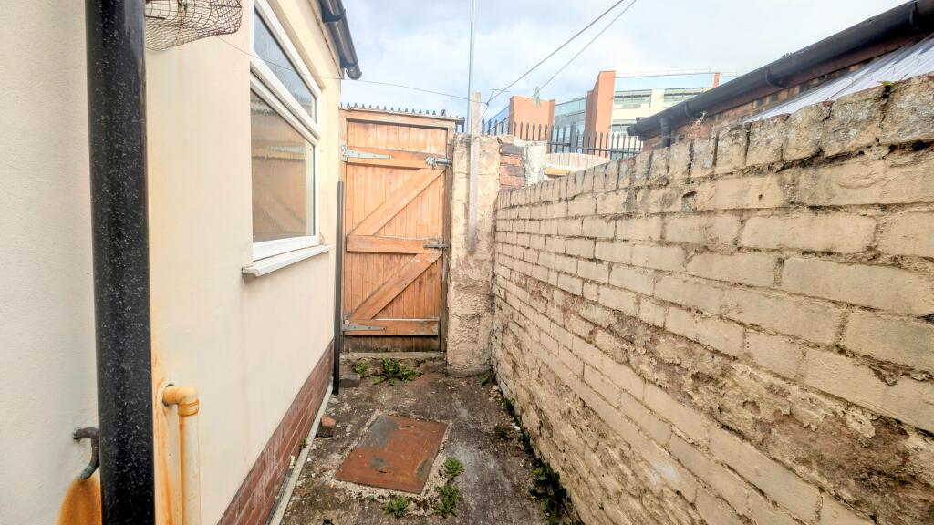
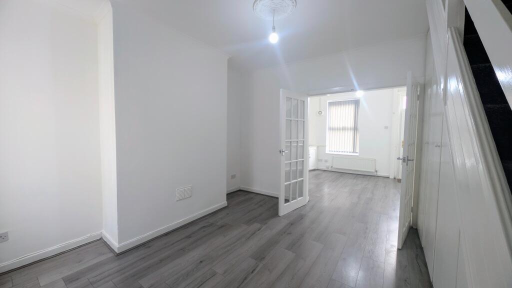
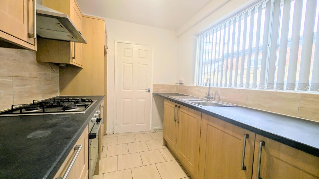
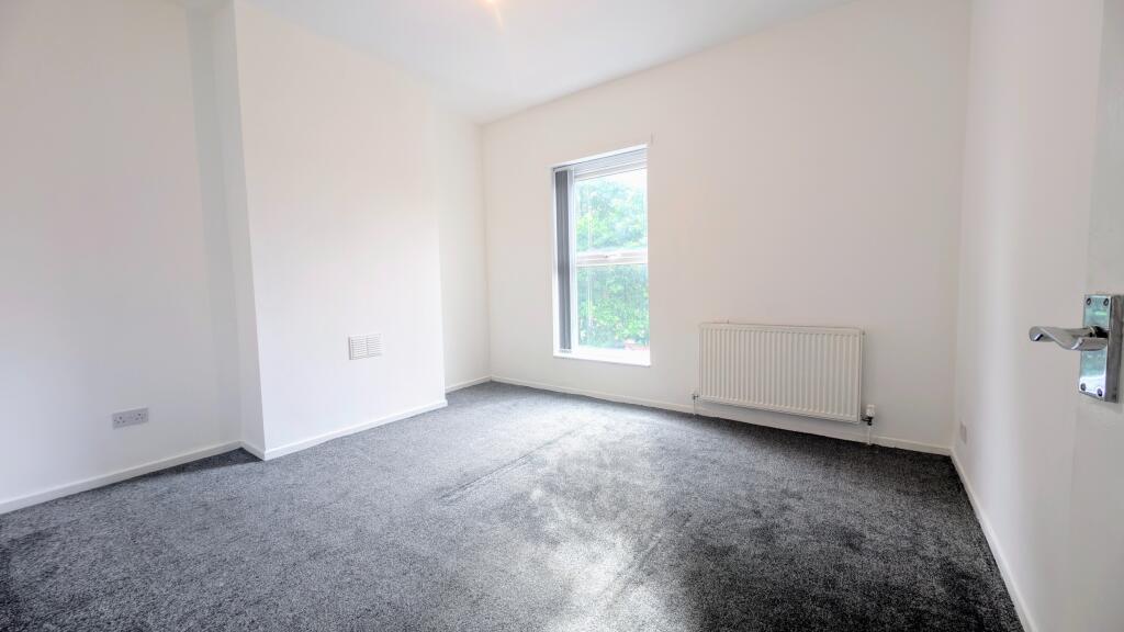
Images


Nearby Streets
| Name | Average Price | Average Sqft | Distance |
|---|---|---|---|
| Whitestone Court | £ 0 | 0 | 0.00 KM |
| The Crescent | £ 170,000 | 0 | 0.00 KM |
| Delph Lane | £ 260,000 | 0 | 0.00 KM |
| Hadden Close | £ 0 | 0 | 0.00 KM |
| Grasmere Avenue | £ 210,000 | 0 | 0.00 KM |
Nearby Transport
| Name | NLC | TLC | Distance |
|---|---|---|---|
| Prescot | 2337 | PSC | 1.26 KM |
| Eccleston Park | 2227 | ECL | 1.30 KM |
| Whiston | 2161 | WHN | 1.32 KM |
| Rainhill | 2296 | RNH | 2.44 KM |
| Thatto Heath | 2264 | THH | 3.54 KM |
Nearby Listings
| Address | Price | Type | Score | Distance |
|---|---|---|---|---|
| Cook Street, Whiston, L35 | £ 875 | RENT | Unknown | 0.00 KM |
| Cook Street, Whiston, L35 | £ 850 | RENT | Unknown | 0.00 KM |
| Cook Street Whiston, Prescot | £ 850 | RENT | Unknown | 0.08 KM |
| Warrington Road, Whiston, Prescot, L35 | £ 550 | RENT | Unknown | 0.11 KM |
| Warrington Road, Whiston, L35 | £ 925 | RENT | Unknown | 0.26 KM |
Nearby Properties
| Address | Price | Distance |
|---|---|---|
| 24 Cook Street | £ 20,000 | 0.00 KM |
| 62 Cook Street | £ 80,000 | 0.00 KM |
| 39 Cook Street | £ 110,000 | 0.00 KM |
| 8 Cook Street | £ 82,000 | 0.00 KM |
| 43 Cook Street | £ 125,000 | 0.00 KM |