OA
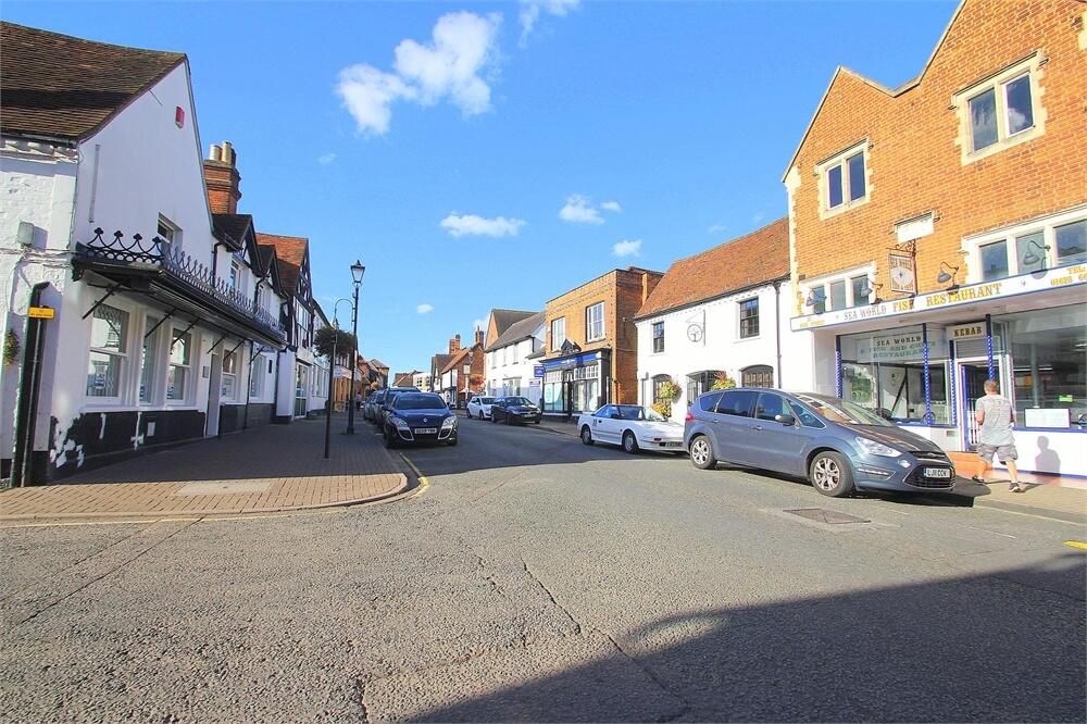
High Street, Burnham, SL1
By Oakwood Estates
£ 950
Oakwood Estates says ..
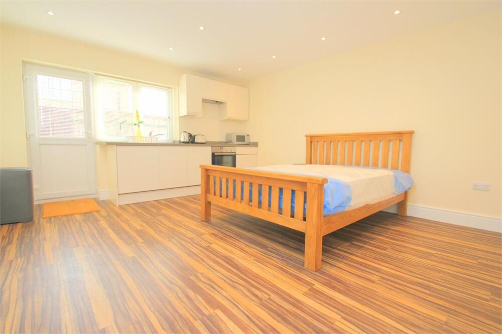
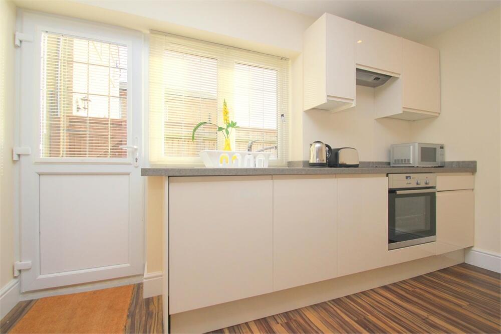
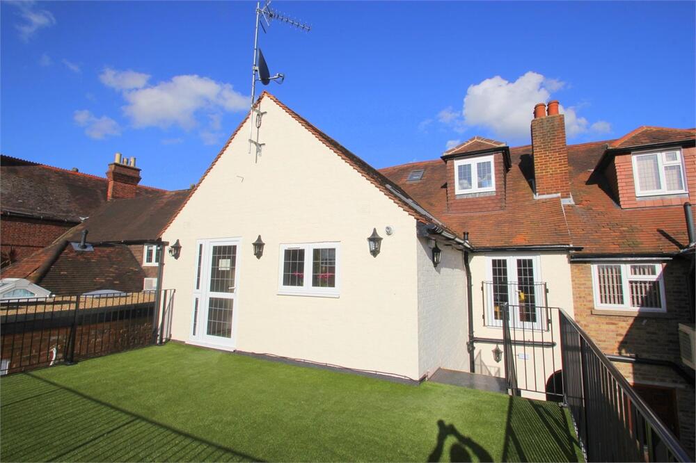
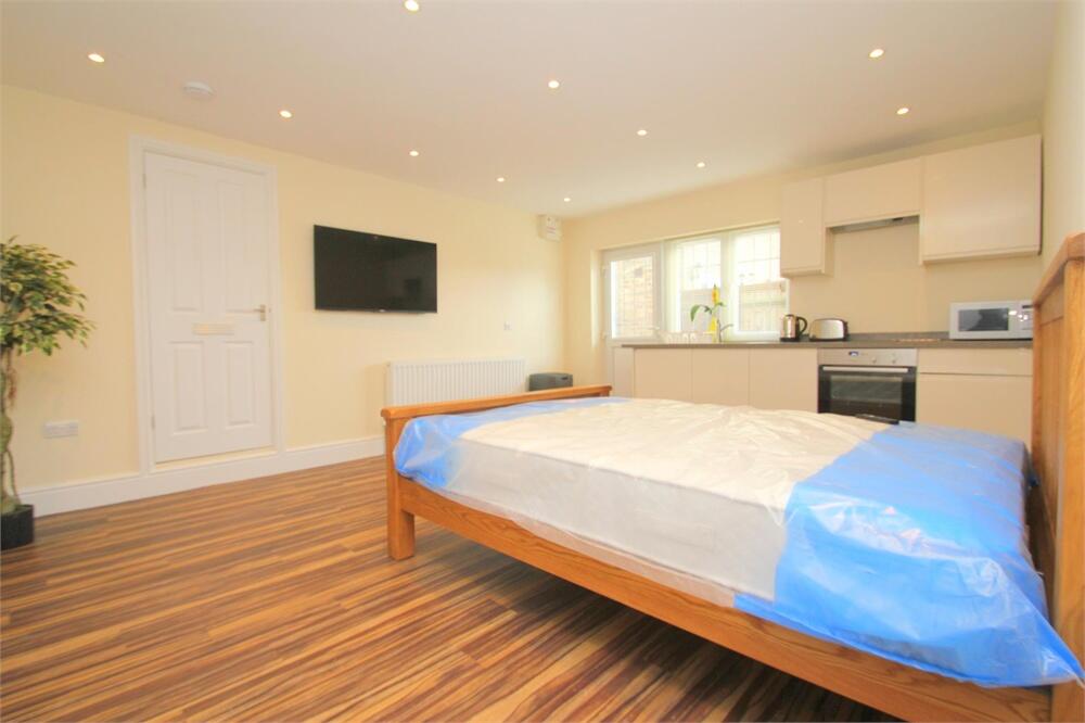
A ground floor studio apartment just off Burnham High Street. Parking can be included for an additional cost. Single Occupants Only.
- Bedrooms
- 0
- Bathrooms
- 1
The heatmap indicates the level of crime in the area. The color of the heatmap indicates the crime severity and recency.
Metrics Year-on-Year
- Average area value
- 817,143.00 £Increased by 53.84 %
- Average area rental value
- 1,640.00 £/moDecreased by 18.93 %
- Est rental Yield
- 2.41 %Decreased by 47.26 %
- Crime Rate
- 10.00 %Unchanged by 0.00 %
from 531,149.00 £
from 2,023.00 £/mo
from 4.57 %
from 10.00 %
Agent Activity
Oakwood Estates created the listing.
Nearby Schools
| Name | Type | Ofsted | Distance |
|---|---|---|---|
| St Peter'S Church Of England Primary School | Voluntary Aided School | Good | 0.42 KM |
| Burnham Family Centre | Children's Centre | 0.42 KM | |
| Our Lady Of Peace Catholic Primary And Nursery School | Voluntary Aided School | Good | 0.76 KM |
| Burnham Grammar School | Academy Converter | Good | 0.78 KM |
| Priory School | Foundation School | Good | 0.87 KM |
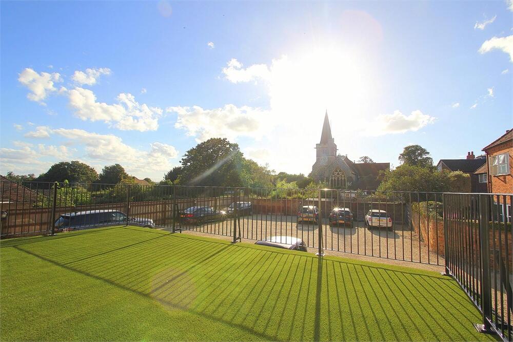
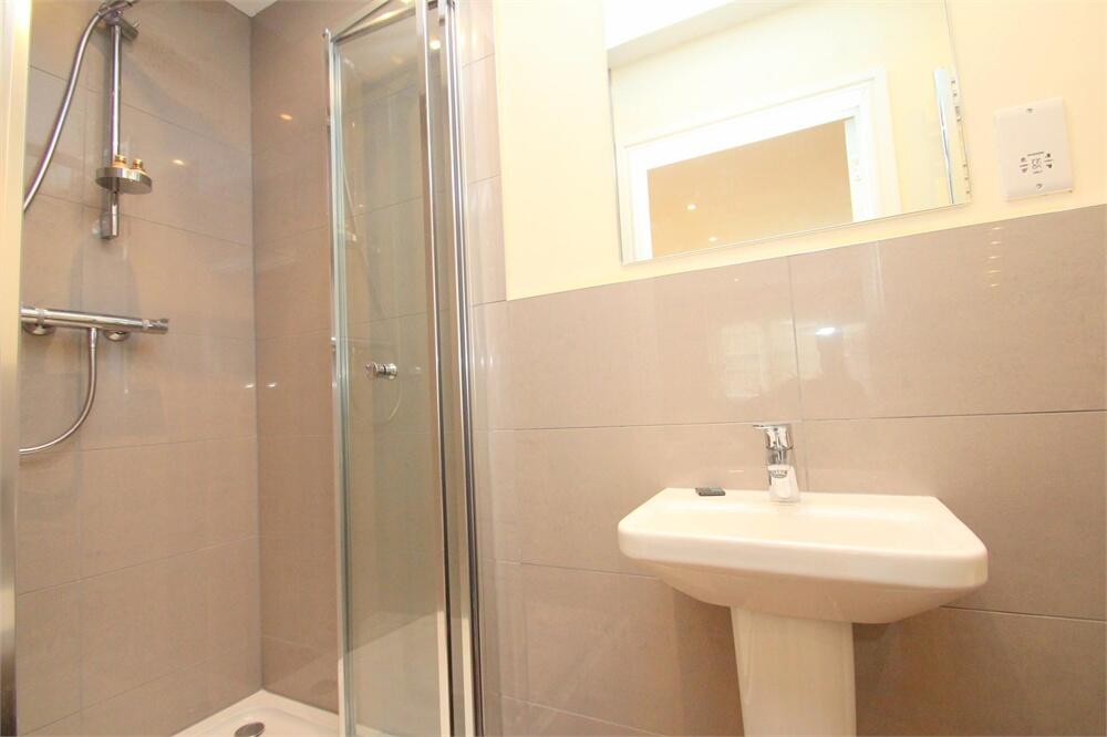
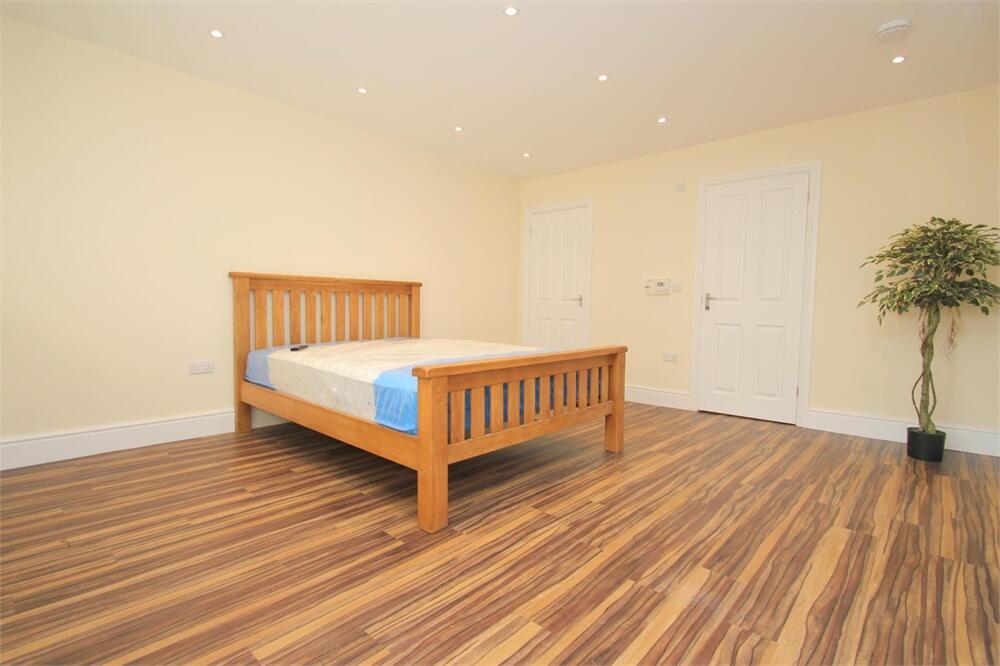
Images
Nearby Streets
| Name | Average Price | Average Sqft | Distance |
|---|---|---|---|
| High Street | £ 0 | 0 | 0.00 KM |
| Baldwin Road | £ 450,000 | 0 | 0.00 KM |
| Hamilton Gardens | £ 883,750 | 0 | 0.00 KM |
| Hall Meadow | £ 0 | 0 | 0.00 KM |
| St. Michael's Court | £ 458,333 | 0 | 0.00 KM |
Nearby Transport
| Name | NLC | TLC | Distance |
|---|---|---|---|
| Burnham | 3176 | BNM | 1.70 KM |
| Taplow | 3151 | TAP | 2.62 KM |
| Maidenhead | 3147 | MAI | 7.17 KM |
| Cookham | 3019 | COO | 7.51 KM |
| Bourne End | 3018 | BNE | 7.58 KM |
Nearby Listings
| Address | Price | Type | Score | Distance |
|---|---|---|---|---|
| Walpole Road, Burnham, SL1 | £ 1,400 | RENT | Unknown | 0.00 KM |
| High Street, Burnham, SL1 | £ 950 | RENT | Unknown | 0.00 KM |
| Priory Cottage, 3 Stomp Road, Bucks, SL1 | £ 1,895 | RENT | Unknown | 0.06 KM |
| Church Street, Burnham, SL1 | £ 655 | RENT | Unknown | 0.14 KM |
| Church Street, Burnham, SL1 | £ 1,030 | RENT | Unknown | 0.14 KM |
Nearby Properties
| Address | Price | Distance |
|---|---|---|
| 7 High Street | £ 81,000 | 0.06 KM |
| 3 High Street | £ 425,000 | 0.06 KM |
| 5 High Street | £ 72,000 | 0.08 KM |
| Walnut Tree Cottage | £ 845,000 | 0.12 KM |
| West Lodge | £ 850,000 | 0.12 KM |