FO
Burnt Ash Lane, Bromley, BR1
By Foxtons
£ 290,000
Foxtons says ..
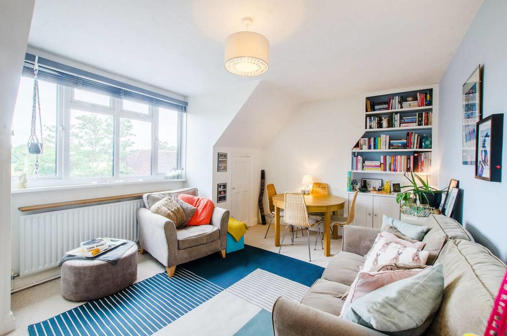
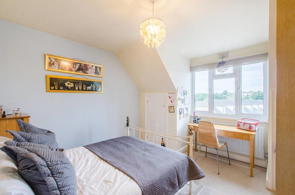
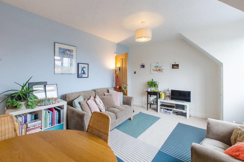
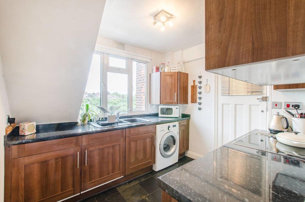
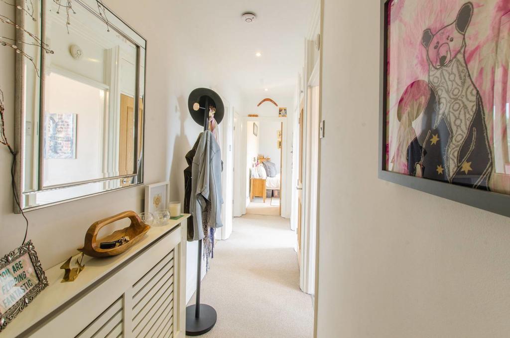
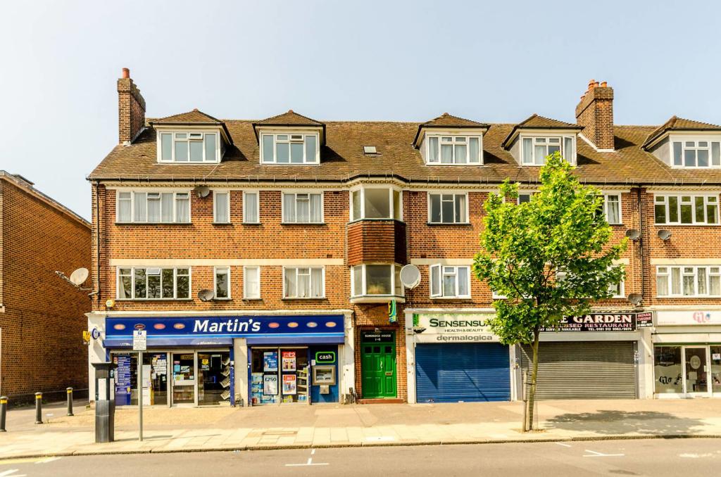
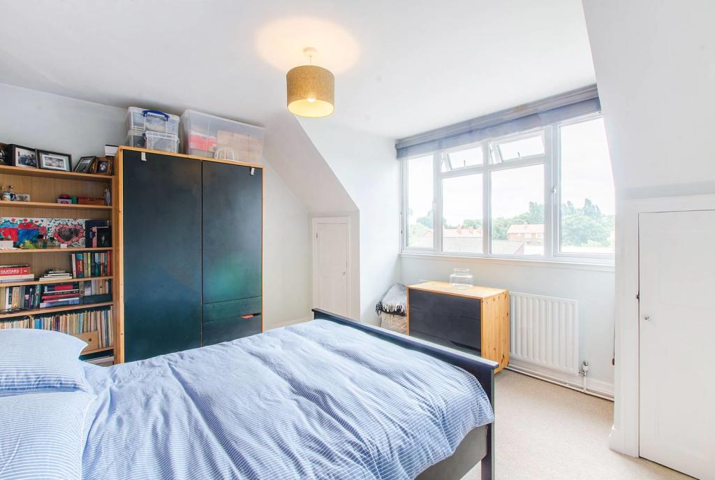
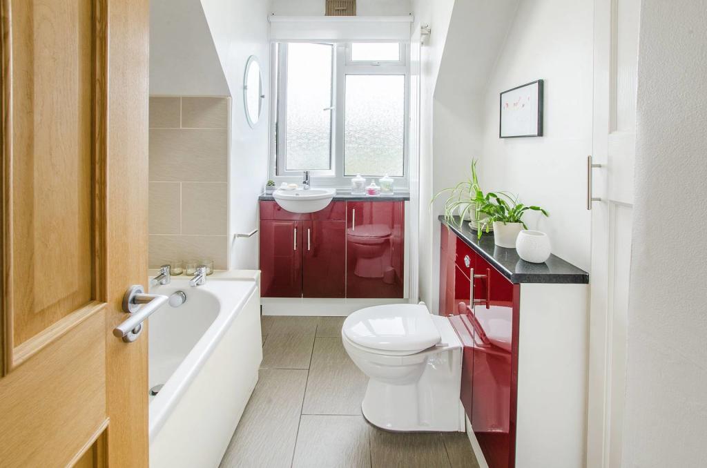
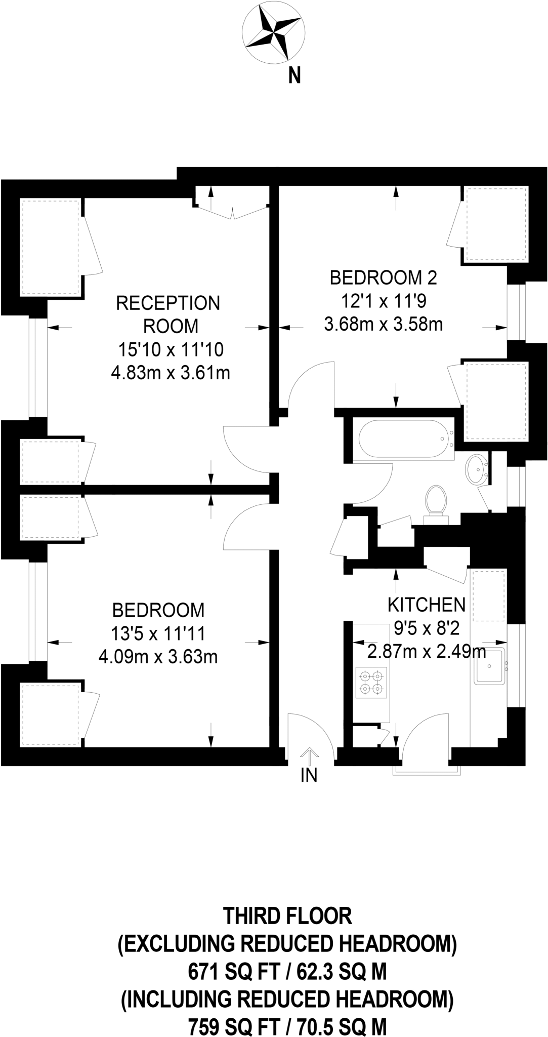
This superb 2 bedroom top-floor flat is beautifully presented throughout and boasts a large reception room with lovely bay window, 2 large double bedrooms and a well equipped kitchen.
- Bedrooms
- 2
- Bathrooms
- 1
The heatmap indicates the level of crime in the area. The color of the heatmap indicates the crime severity and recency.
Metrics Year-on-Year
- Average area value
- 616,250.00 £Increased by 3.00 %
- Average area rental value
- 1,730.00 £/moDecreased by 8.90 %
- Est rental Yield
- 3.37 %Decreased by 11.55 %
- Crime Rate
- 8.00 %Unchanged by 0.00 %
from 598,316.00 £
from 1,899.00 £/mo
from 3.81 %
from 8.00 %
Agent Activity
Foxtons created the listing.
Nearby Schools
| Name | Type | Ofsted | Distance |
|---|---|---|---|
| Parish Church Of England Primary School | Academy Converter | 0.82 KM | |
| Burnt Ash Primary School | Academy Converter | Outstanding | 0.84 KM |
| Launcelot Primary School | Community School | Good | 0.93 KM |
| Haberdashers' Aske'S Knights Academy | Academy Sponsor Led | Good | 0.95 KM |
| Burnt Ash Children And Family Centre | Children's Centre | 1.02 KM |
Images
Nearby Streets
| Name | Average Price | Average Sqft | Distance |
|---|---|---|---|
| Albany Mews | £ 285,000 | 0 | 0.00 KM |
| Pontefract Road | £ 387,500 | 0 | 0.00 KM |
| Dagonet Road | £ 425,000 | 0 | 0.00 KM |
| Riverbank Road | £ 0 | 0 | 0.00 KM |
| Merlinmead | £ 0 | 0 | 0.00 KM |
Nearby Transport
| Name | NLC | TLC | Distance |
|---|---|---|---|
| Sundridge Park | 5155 | SUP | 0.76 KM |
| Grove Park | 5139 | GRP | 1.16 KM |
| Bromley North | 5096 | BMN | 1.41 KM |
| Bromley South | 5064 | BMS | 2.31 KM |
| Shortlands | 5084 | SRT | 2.62 KM |
Nearby Listings
| Address | Price | Type | Score | Distance |
|---|---|---|---|---|
| Burnt Ash Lane, Bromley | £ 275,000 | BUY | 6 / 10 | 0.03 KM |
| Burnt Ash Lane, Bromley | £ 250,000 | BUY | 5 / 10 | 0.04 KM |
| Roslin Way, Bromley | £ 550,000 | BUY | 6 / 10 | 0.07 KM |
| Milk Street, BROMLEY, Kent, BR1 | £ 325,000 | BUY | 6 / 10 | 0.18 KM |
| Milk Street, Bromley, BR1 | £ 325,000 | BUY | 6 / 10 | 0.20 KM |
Nearby Properties
| Address | Price | Distance |
|---|---|---|
| 130 Burnt Ash Lane | £ 185,000 | 0.08 KM |
| 142b Burnt Ash Lane | £ 175,000 | 0.08 KM |
| 126 Burnt Ash Lane | £ 391,500 | 0.08 KM |
| 124 Burnt Ash Lane | £ 217,000 | 0.08 KM |
| 142c Burnt Ash Lane | £ 252,500 | 0.08 KM |