HA
Abrams Green, Southport, Merseyside, PR9
By Hashtag Estates
£ 195,000
Hashtag Estates says ..
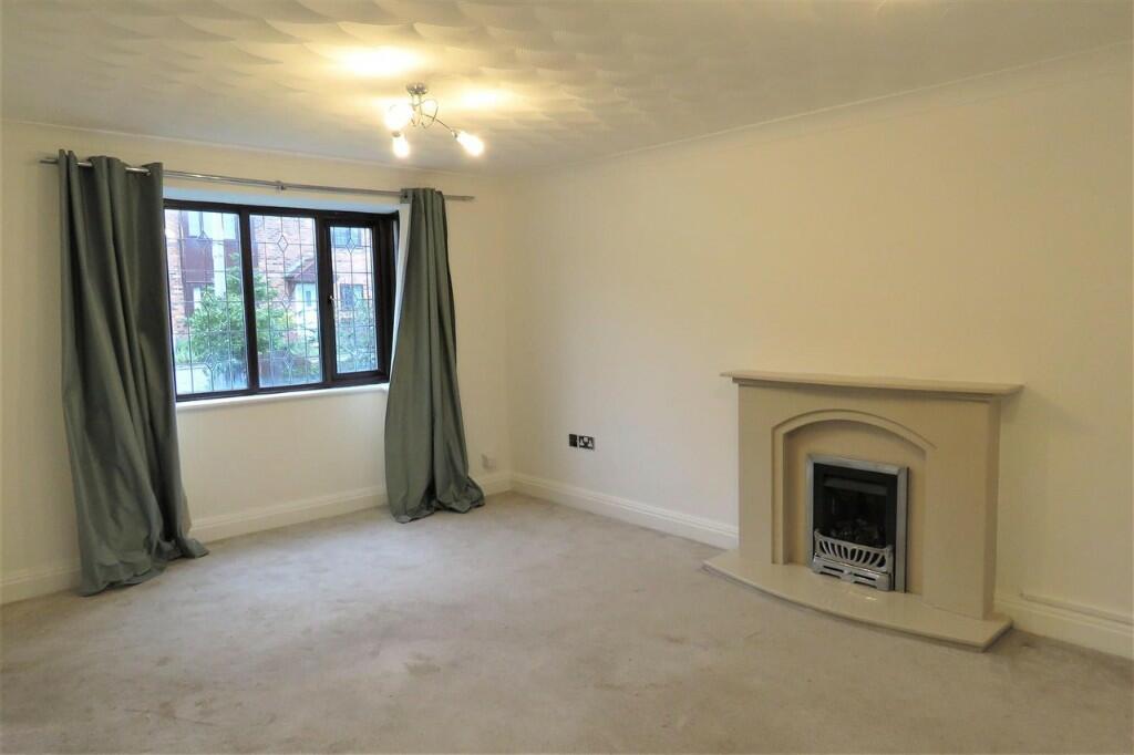
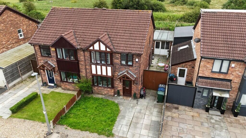
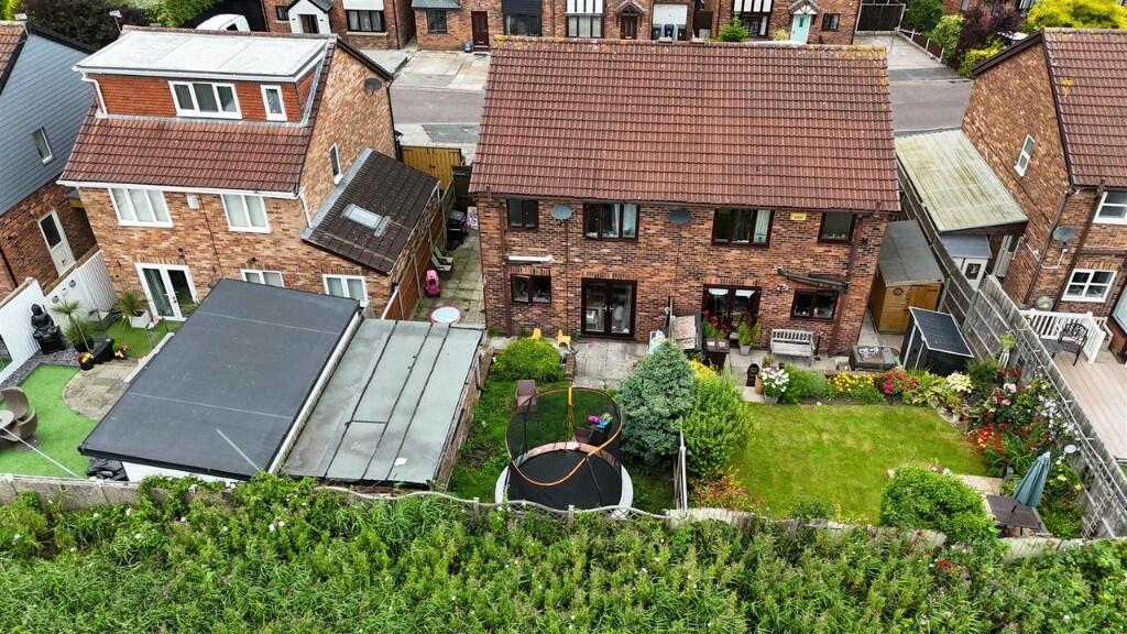
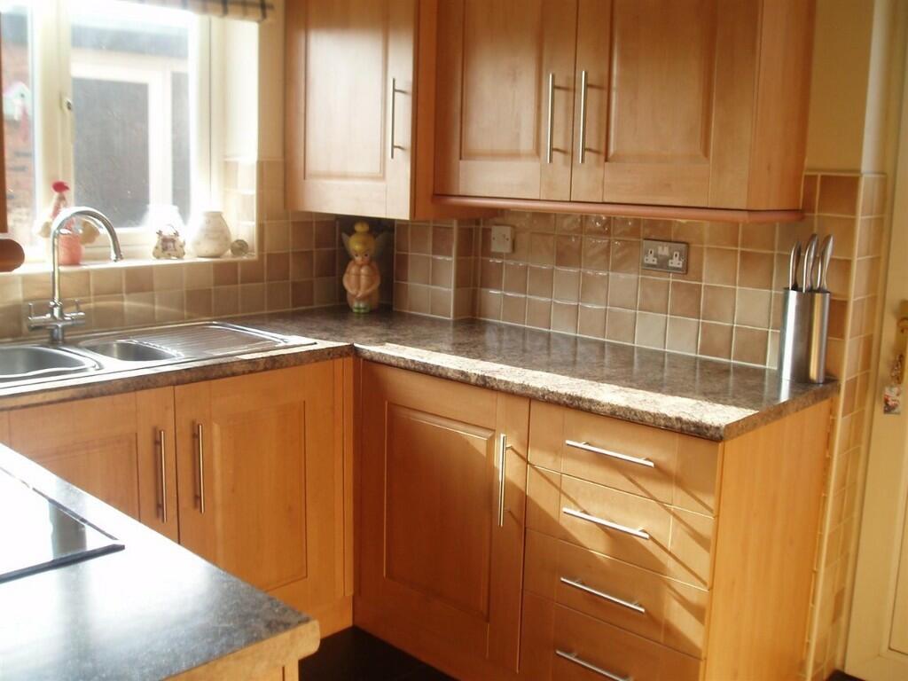
3 Bed Semi-Detached House Nested In a Beautiful Cul-de-sac, Banks
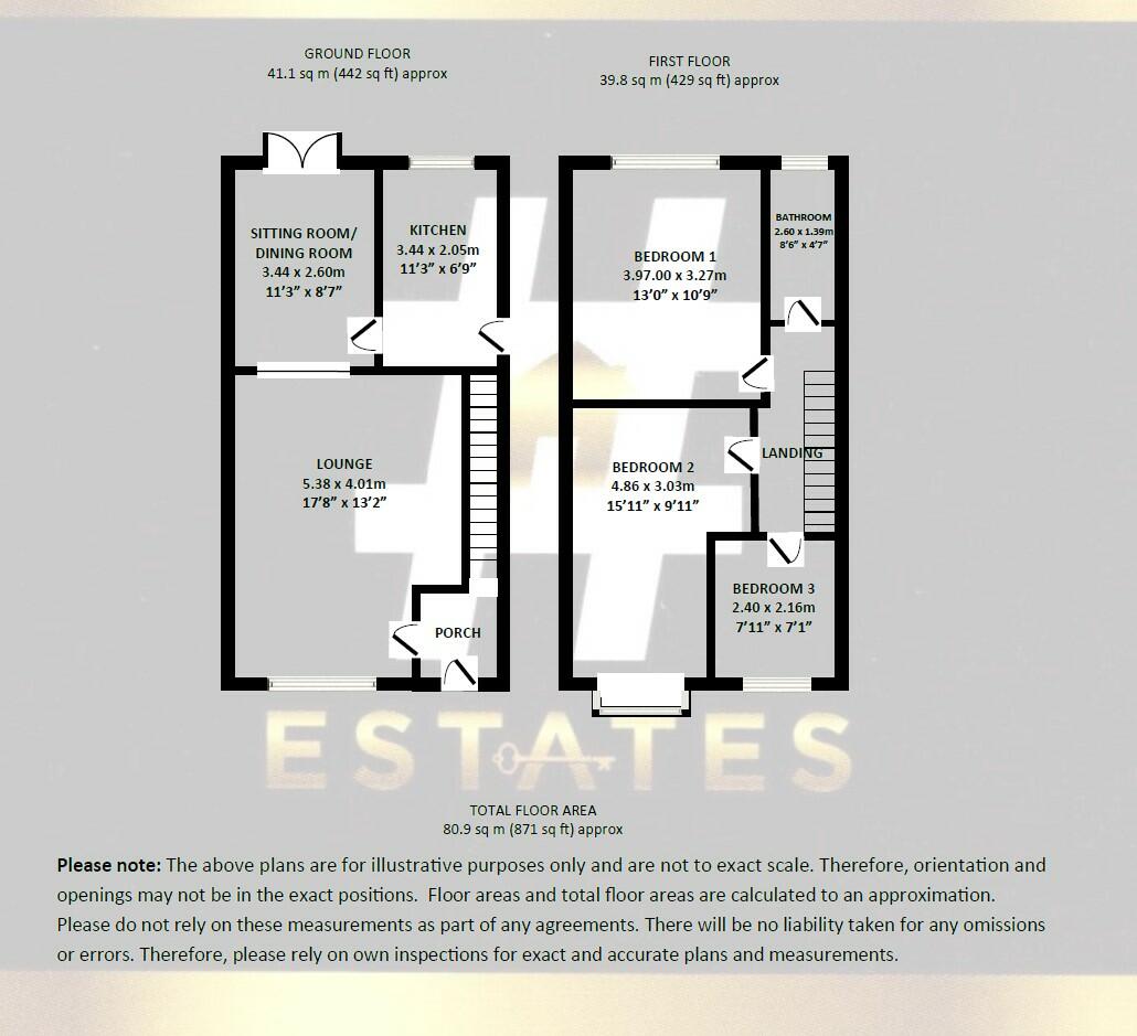
- Bedrooms
- 3
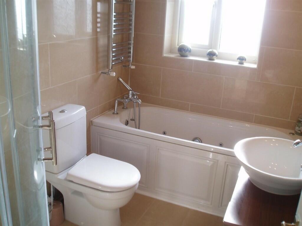
- Bathrooms
- 1
The heatmap indicates the level of crime in the area. The color of the heatmap indicates the crime severity and recency.
Metrics Year-on-Year
- Average area value
- 382,533.00 £Increased by 3.77 %
- Average area rental value
- 1,090.00 £/moDecreased by 17.67 %
- Est rental Yield
- 3.42 %Decreased by 20.65 %
- Crime Rate
- 18.00 %Unchanged by 0.00 %
from 368,645.00 £
from 1,324.00 £/mo
from 4.31 %
from 18.00 %
Agent Activity
Hashtag Estates created the listing.
Nearby Schools
| Name | Type | Ofsted | Distance |
|---|---|---|---|
| Banks St Stephen'S Cofe School | Voluntary Controlled School | Good | 1.11 KM |
| Banks Methodist School | Voluntary Controlled School | Good | 1.49 KM |
| St John'S Church Of England Primary School | Voluntary Controlled School | Good | 2.25 KM |
| Peterhouse School | Non-maintained Special School | Outstanding | 3.95 KM |
| Presfield High School And Specialist College | Community Special School | Good | 4.00 KM |
Images


Nearby Streets
| Name | Average Price | Average Sqft | Distance |
|---|---|---|---|
| Old School Close | £ 0 | 0 | 0.00 KM |
| Hesketh Avenue | £ 185,000 | 0 | 0.00 KM |
| Southport New Road | £ 248,120 | 0 | 0.00 KM |
| Grange Close | £ 108,000 | 0 | 0.00 KM |
Nearby Transport
| Name | NLC | TLC | Distance |
|---|---|---|---|
| Bescar Lane | 2351 | BES | 6.00 KM |
| Meols Cop | 2357 | MEC | 6.28 KM |
| Lytham | 2670 | LTM | 8.09 KM |
| Southport | 2262 | SOP | 8.90 KM |
| New Lane | 2358 | NLN | 9.77 KM |
Nearby Listings
| Address | Price | Type | Score | Distance |
|---|---|---|---|---|
| Abrams Green, Southport, Merseyside, PR9 | £ 195,000 | BUY | Unknown | 0.00 KM |
| Abrams Fold, Southport, Lancashire, PR9 | £ 185,000 | BUY | 6 / 10 | 0.13 KM |
| Abrams Fold, Southport, Lancashire, PR9 | £ 195,000 | BUY | 6 / 10 | 0.13 KM |
| Lancaster Drive, Southport, Lancashire, PR9 8AS | £ 200,000 | BUY | 5 / 10 | 0.14 KM |
| Station Road, Banks, Southport, Lancashire, PR9 | £ 230,000 | BUY | Unknown | 0.17 KM |
Nearby Properties
| Address | Price | Distance |
|---|---|---|
| 11 Abrams Green | £ 240,000 | 0.00 KM |
| 6 Abrams Green | £ 130,000 | 0.00 KM |
| 8 Abrams Green | £ 229,995 | 0.00 KM |
| 17 Abrams Green | £ 205,000 | 0.03 KM |
| 10 Abrams Green | £ 167,000 | 0.03 KM |