HA
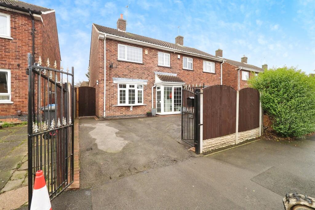
Copes Way, Chaddesden, Derby
By Hall & Benson
£ 240,000
Hall & Benson says ..
Copes Way is well situated for local schools including Cavendish Close and Lees Brook schools, shops and transport links together with excellent road links for the A52, M1 motorway, A50 and Nottingham East Midlands Airport.
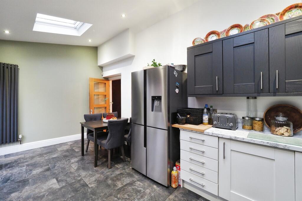
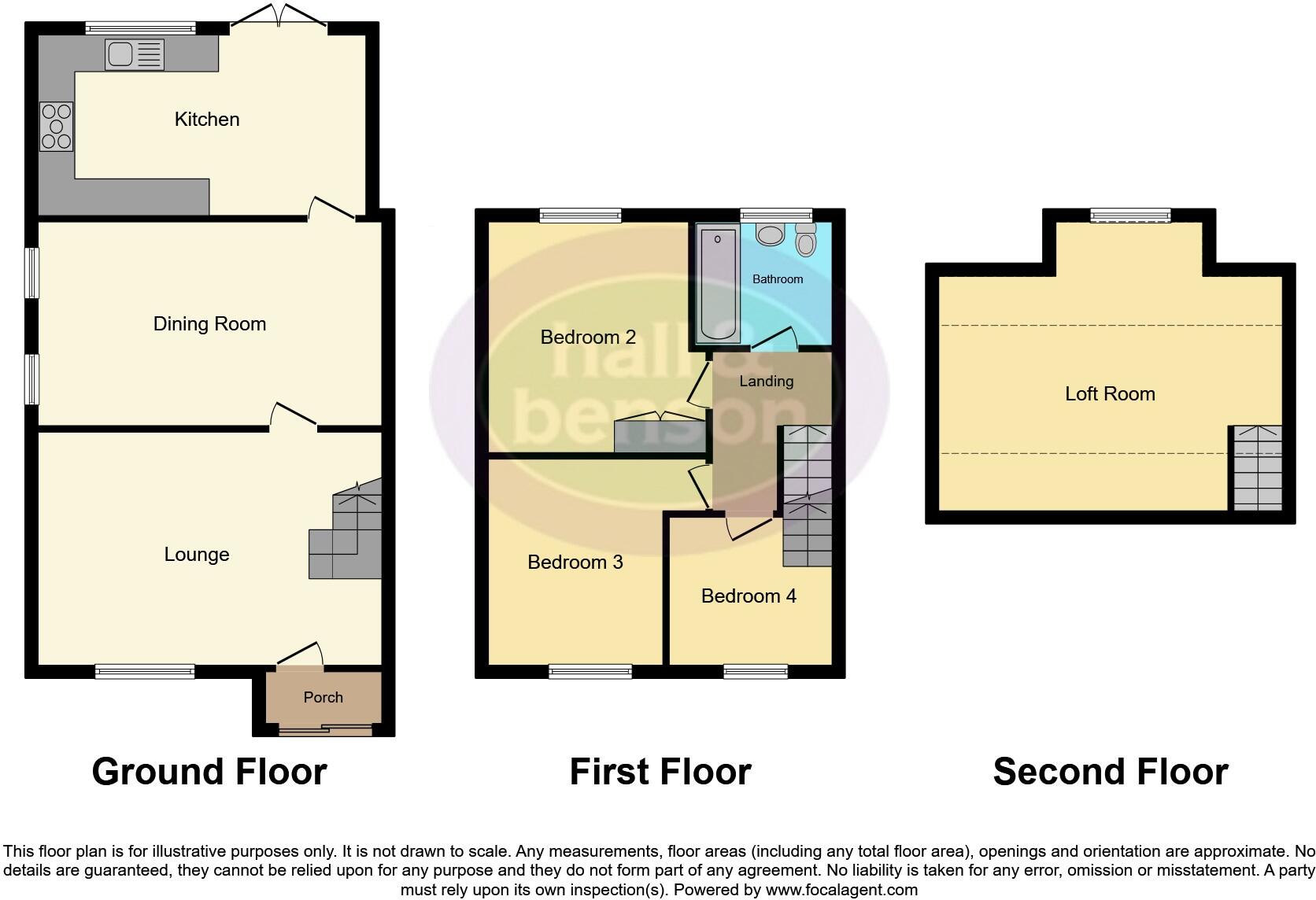
- Bedrooms
- 3
- Bathrooms
- 1
The heatmap indicates the level of crime in the area. The color of the heatmap indicates the crime severity and recency.
Metrics Year-on-Year
- Average area value
- 358,333.00 £Increased by 6.25 %
- Average area rental value
- 1,283.00 £/moDecreased by 3.24 %
- Est rental Yield
- 4.30 %Decreased by 8.90 %
- Crime Rate
- 11.00 %Unchanged by 0.00 %
from 337,265.00 £
from 1,326.00 £/mo
from 4.72 %
from 11.00 %
Agent Activity
Hall & Benson created the listing.
Nearby Schools
| Name | Type | Ofsted | Distance |
|---|---|---|---|
| Cavendish Close Junior Academy | Academy Sponsor Led | 0.25 KM | |
| Cavendish Close Infant School | Community School | Good | 0.35 KM |
| Lees Brook Community School | Academy Converter | Requires improvement | 0.45 KM |
| Audrey Drive Children'S Centre | Children's Centre | 0.48 KM | |
| Chaddesden Park Primary School | Academy Converter | 0.82 KM |
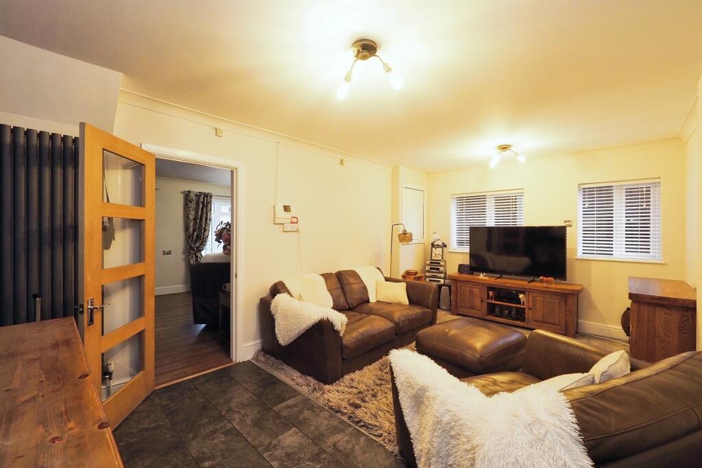
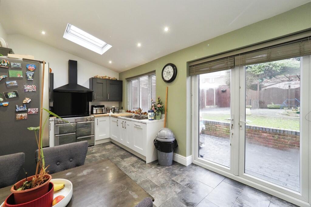
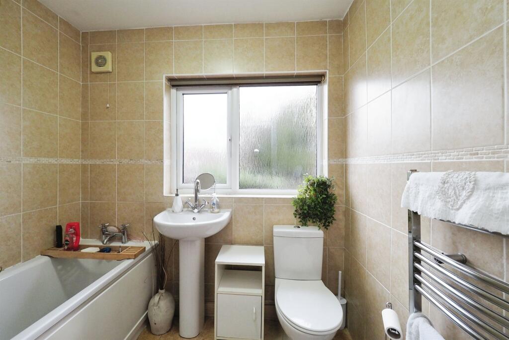
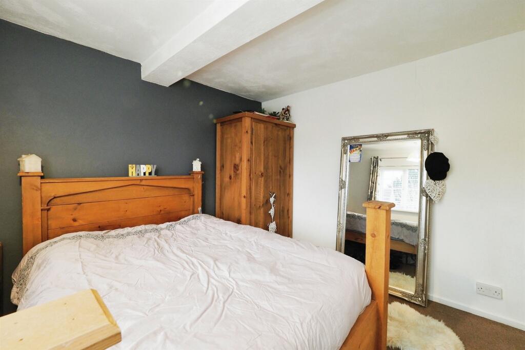
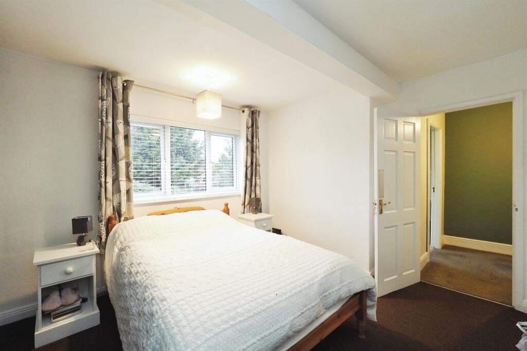
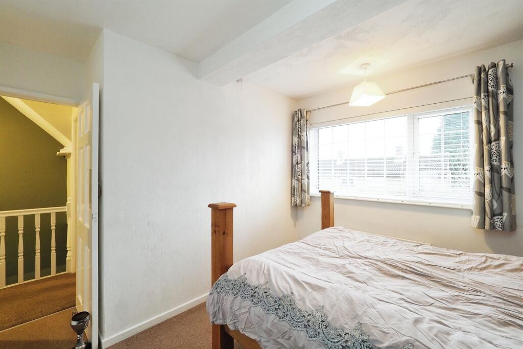
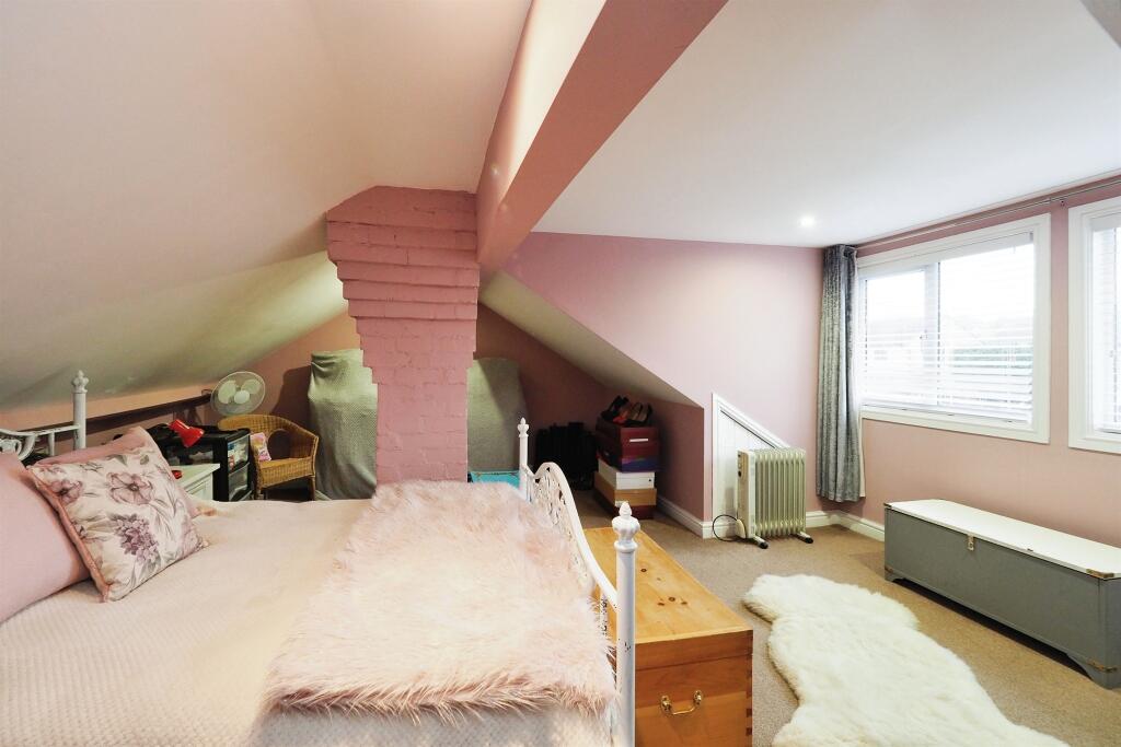
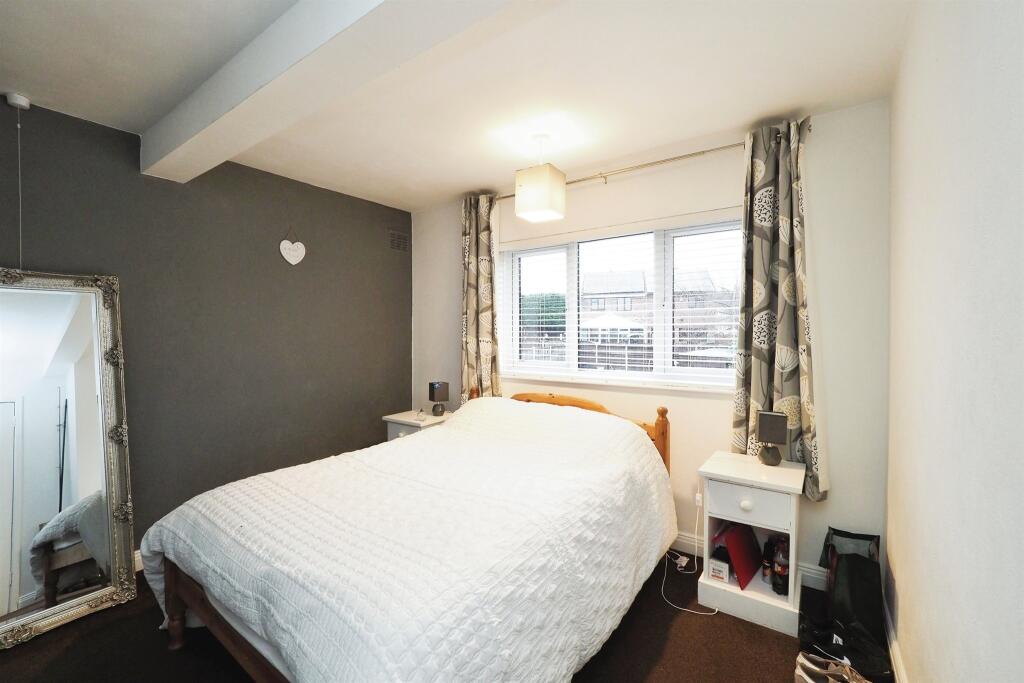
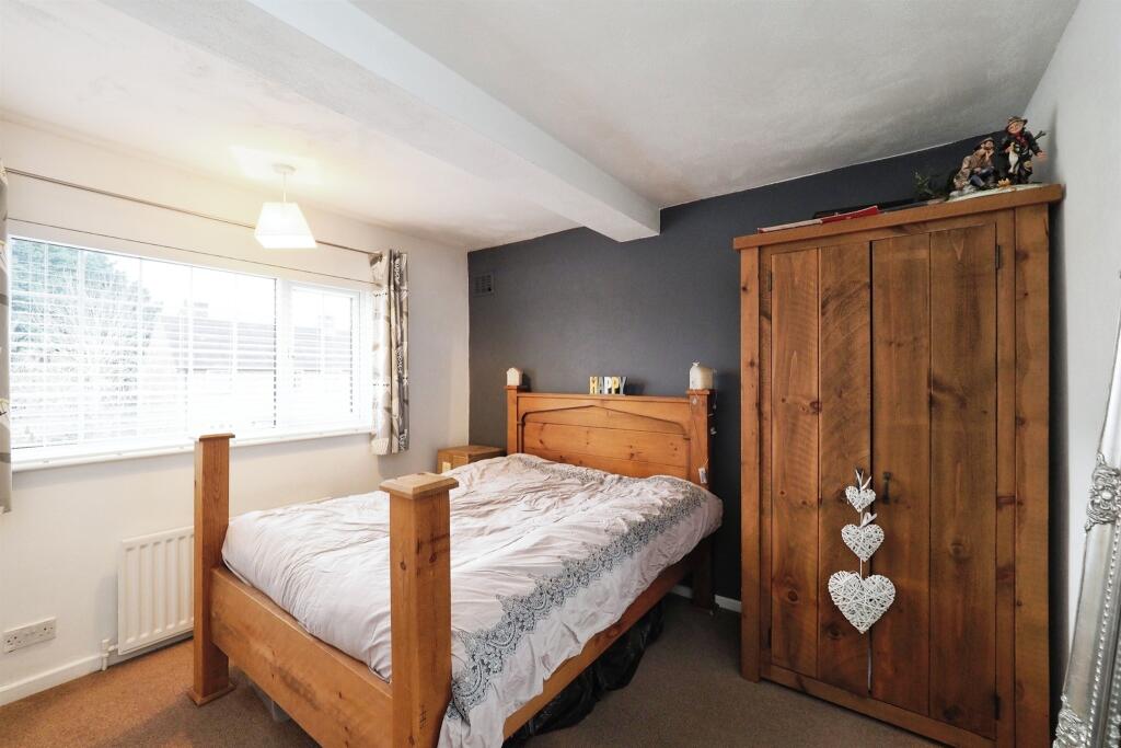
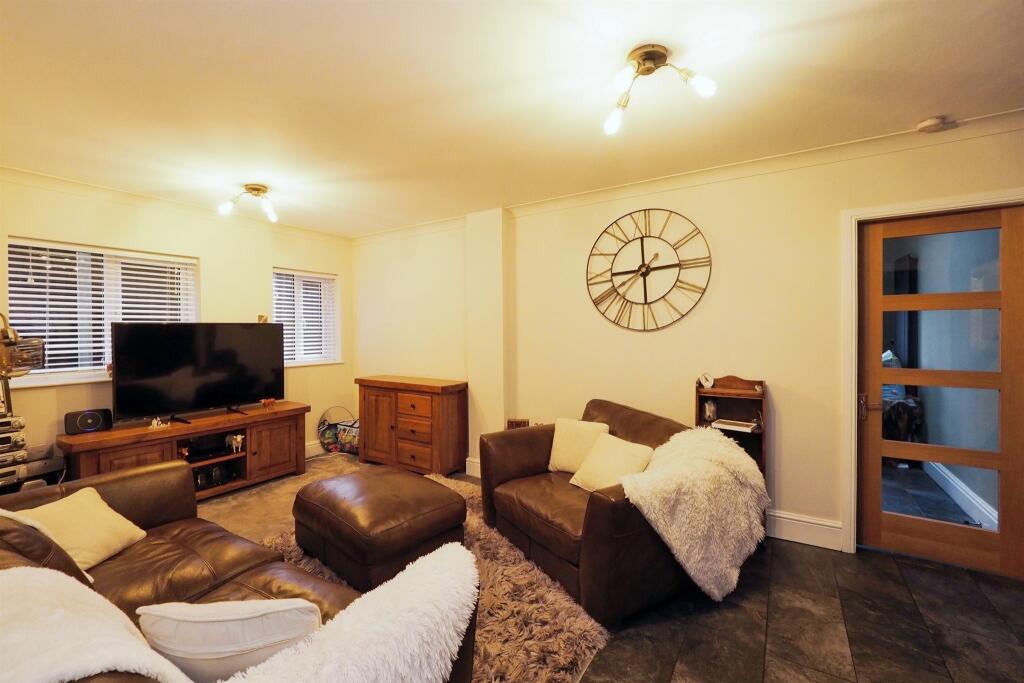
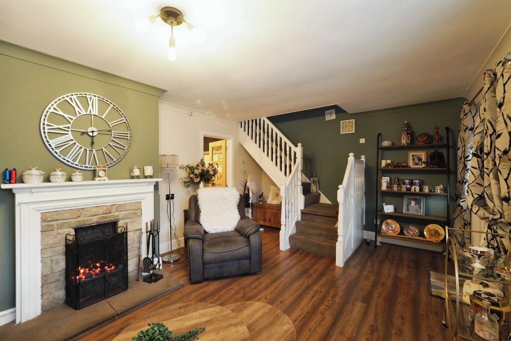
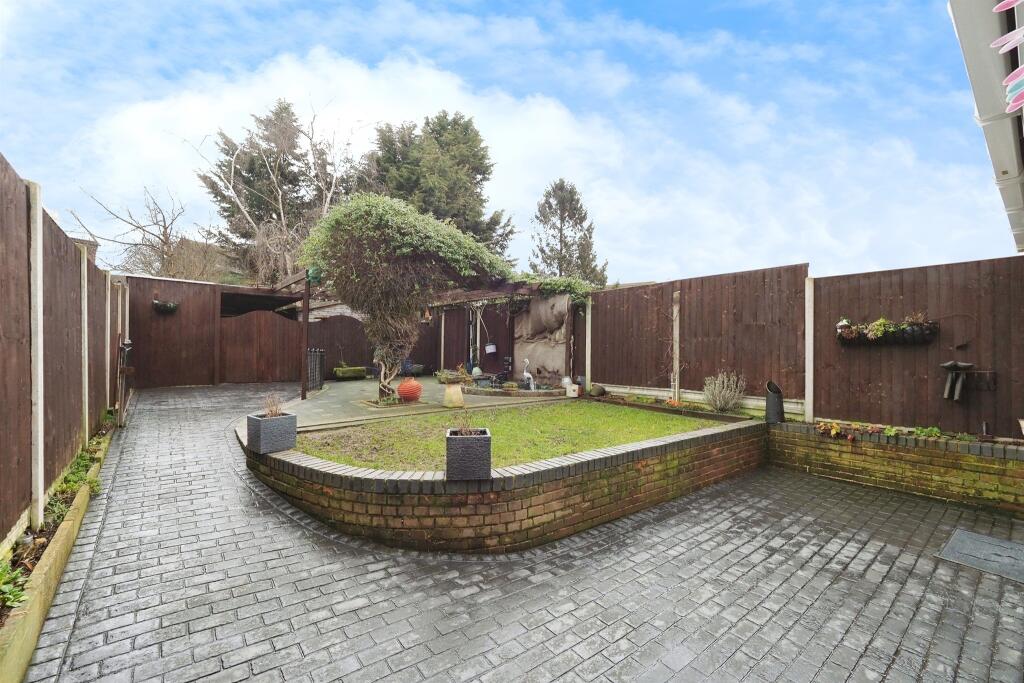
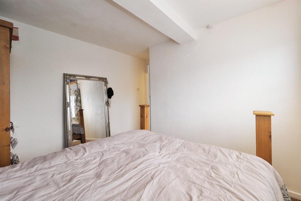
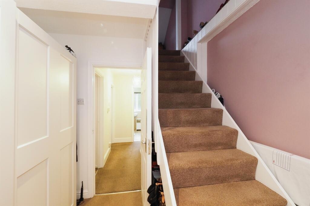
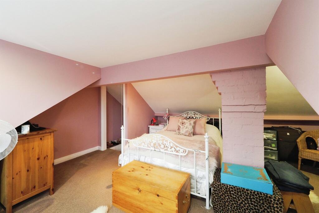
Images
Nearby Streets
| Name | Average Price | Average Sqft | Distance |
|---|---|---|---|
| Lawrence Avenue | £ 0 | 0 | 0.00 KM |
| Wardlow Avenue | £ 155,000 | 0 | 0.00 KM |
| Hassop Road | £ 0 | 0 | 0.00 KM |
| Ennis Close | £ 185,000 | 0 | 0.00 KM |
| Alderley Court | £ 0 | 1,252 | 0.00 KM |
Nearby Transport
| Name | NLC | TLC | Distance |
|---|---|---|---|
| Spondon | 1699 | SPO | 3.15 KM |
| Derby | 1823 | DBY | 4.57 KM |
| Peartree | 1687 | PEA | 6.70 KM |
| Duffield | 1691 | DFI | 8.78 KM |
Nearby Listings
| Address | Price | Type | Score | Distance |
|---|---|---|---|---|
| Copes Way, Chaddesden, Derby | £ 240,000 | BUY | Unknown | 0.00 KM |
| Seagrave Close, Oakwood | £ 225,000 | BUY | 7 / 10 | 0.10 KM |
| Seagrave Close, Oakwood | £ 230,000 | BUY | 7 / 10 | 0.12 KM |
| Seagrave Close, Oakwood | £ 210,000 | BUY | Unknown | 0.13 KM |
| Fiskerton Way, Oakwood | £ 290,000 | BUY | 6 / 10 | 0.14 KM |
Nearby Properties
| Address | Price | Distance |
|---|---|---|
| 119 Copes Way | £ 108,000 | 0.00 KM |
| 95 Copes Way | £ 101,000 | 0.00 KM |
| 80 Copes Way | £ 100,000 | 0.00 KM |
| 84 Copes Way | £ 145,000 | 0.00 KM |
| 105 Copes Way | £ 120,000 | 0.00 KM |