
FO
Burnham
By Focus
£ 1,000
Focus says ..
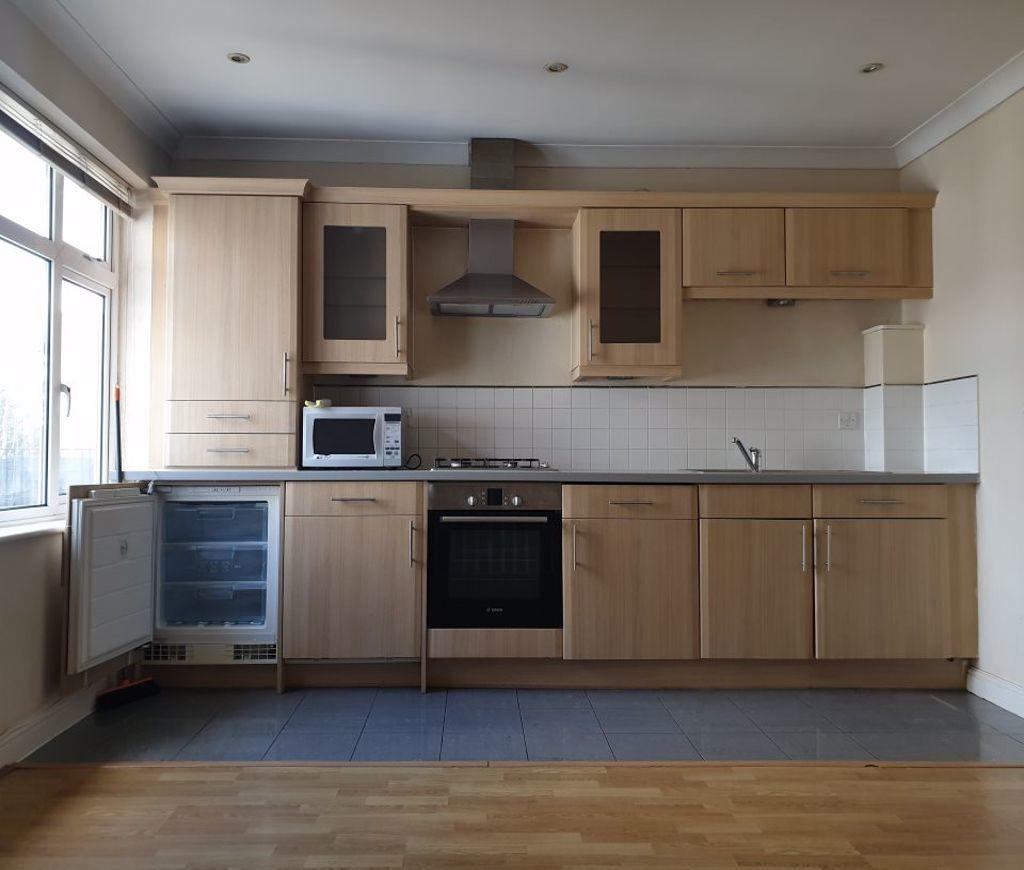
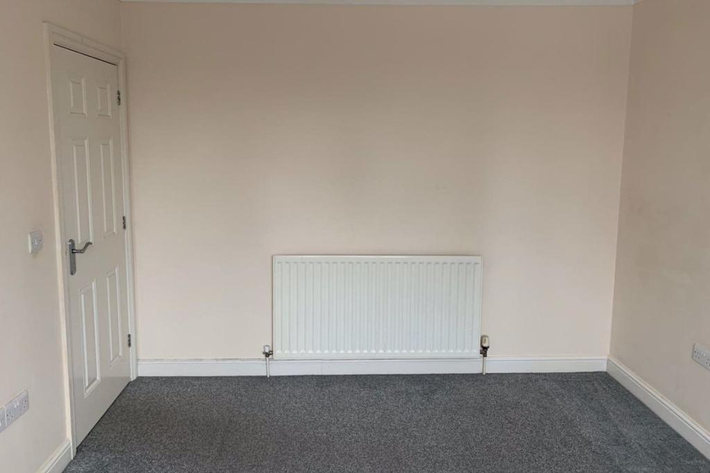
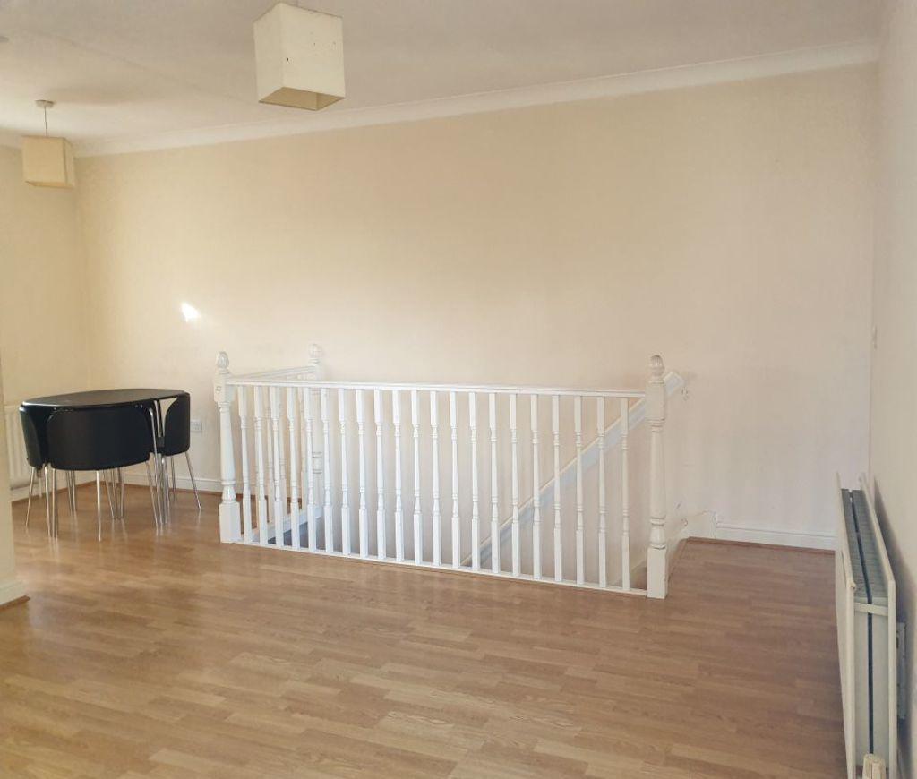
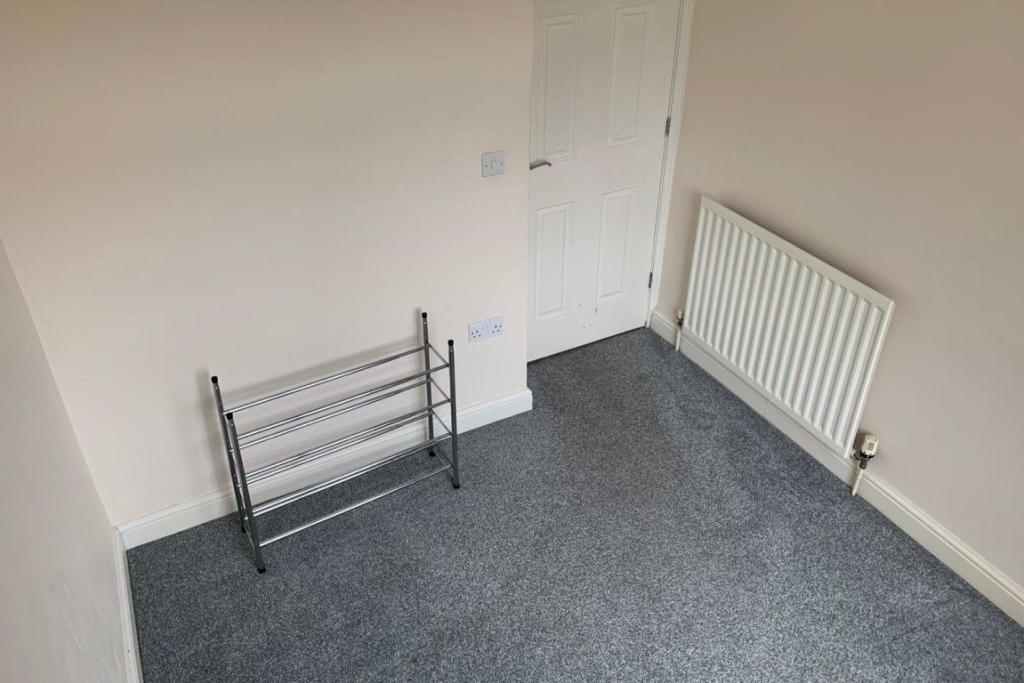
A well presented 2 bedroom aprtment situated within walking distance of station.
- Bedrooms
- 2
- Bathrooms
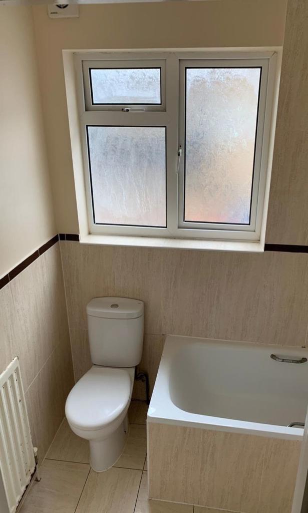
- 1
The heatmap indicates the level of crime in the area. The color of the heatmap indicates the crime severity and recency.
Metrics Year-on-Year
- Average area value
- 736,250.00 £Increased by 72.69 %
- Average area rental value
- 1,963.00 £/moIncreased by 6.51 %
- Est rental Yield
- 3.20 %Decreased by 38.34 %
- Crime Rate
- 7.00 %Unchanged by 0.00 %
from 426,349.00 £
from 1,843.00 £/mo
from 5.19 %
from 7.00 %
Agent Activity
Focus created the listing.
Nearby Schools
| Name | Type | Ofsted | Distance |
|---|---|---|---|
| Orchard Avenue Children'S Centre | Children's Centre | 0.23 KM | |
| Priory School | Foundation School | Good | 0.33 KM |
| Our Lady Of Peace Catholic Primary And Nursery School | Voluntary Aided School | Good | 0.51 KM |
| Haybrook College | Academy Alternative Provision Converter | Good | 0.56 KM |
| Burnham Grammar School | Academy Converter | Good | 0.57 KM |
Images
Nearby Streets
| Name | Average Price | Average Sqft | Distance |
|---|---|---|---|
| Lammas Road | £ 0 | 0 | 0.00 KM |
| St. Michael's Court | £ 458,333 | 0 | 0.00 KM |
| Haymill Park Nature Walk | £ 0 | 0 | 0.00 KM |
| Bath Road | £ 0 | 0 | 0.00 KM |
| St.Georges Crescent | £ 375,000 | 0 | 0.00 KM |
Nearby Transport
| Name | NLC | TLC | Distance |
|---|---|---|---|
| Burnham | 3176 | BNM | 0.62 KM |
| Taplow | 3151 | TAP | 3.50 KM |
| Windsor And Eton Central | 3175 | WNC | 6.61 KM |
| Slough | 3172 | SLO | 6.70 KM |
| Windsor And Eton Riverside | 5672 | WNR | 6.71 KM |
Nearby Listings
| Address | Price | Type | Score | Distance |
|---|---|---|---|---|
| Haymill Road, Burnham, SL1 | £ 1,800 | RENT | Unknown | 0.17 KM |
| Haymill Road, Slough, Berkshire, SL1 | £ 6,950 | RENT | Unknown | 0.23 KM |
| St Michaels Court, Slough | £ 1,700 | RENT | Unknown | 0.30 KM |
| Blumfield Court, SLOUGH | £ 2,100 | RENT | Unknown | 0.32 KM |
| Blumfield Crescent, Slough | £ 1,150 | RENT | Unknown | 0.33 KM |
Nearby Properties
| Address | Price | Distance |
|---|---|---|
| 210 Burnham Lane | £ 690,000 | 0.03 KM |
| 208 Burnham Lane | £ 375,000 | 0.03 KM |
| 192 Burnham Lane | £ 700,000 | 0.03 KM |
| 180 Burnham Lane | £ 88,000 | 0.03 KM |
| 202 Burnham Lane | £ 486,000 | 0.03 KM |