Beresfords says ..
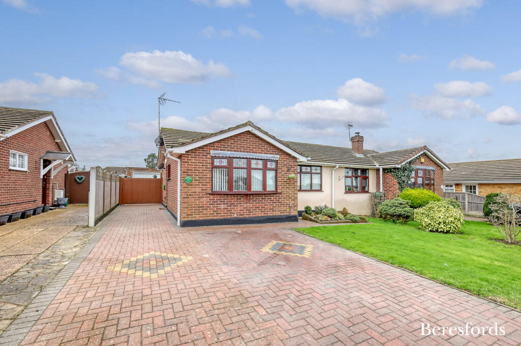
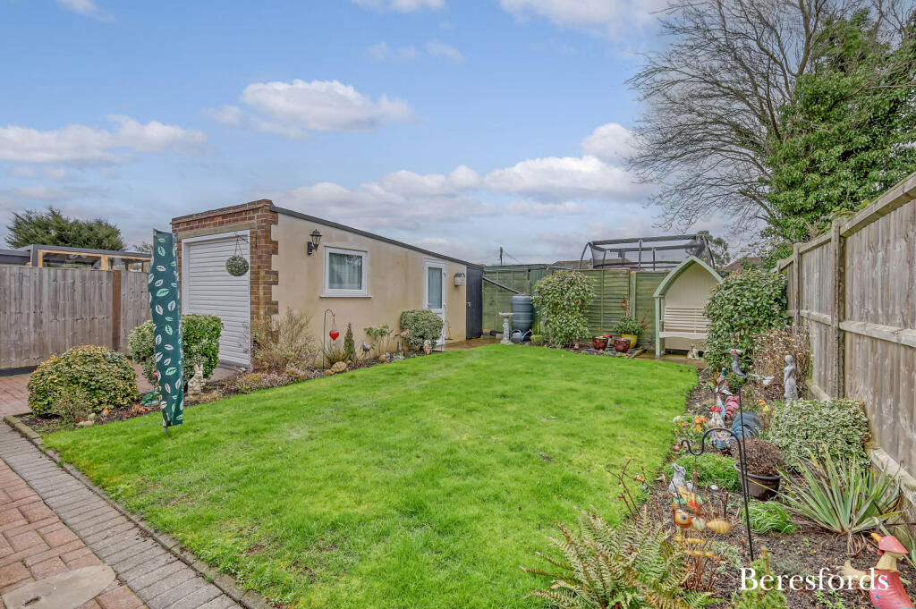
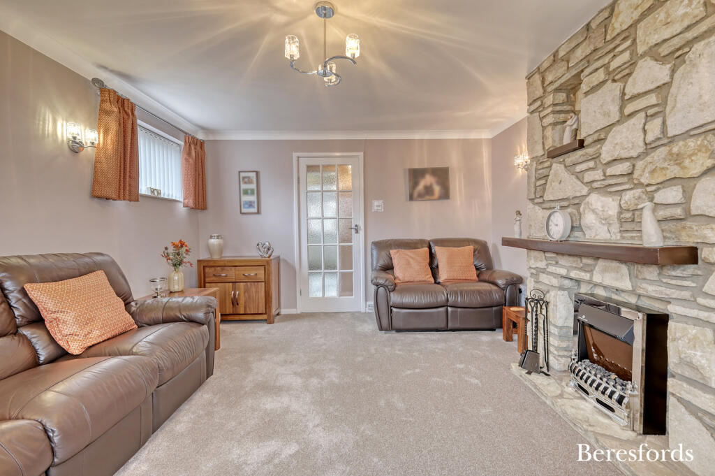
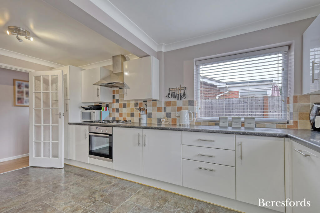
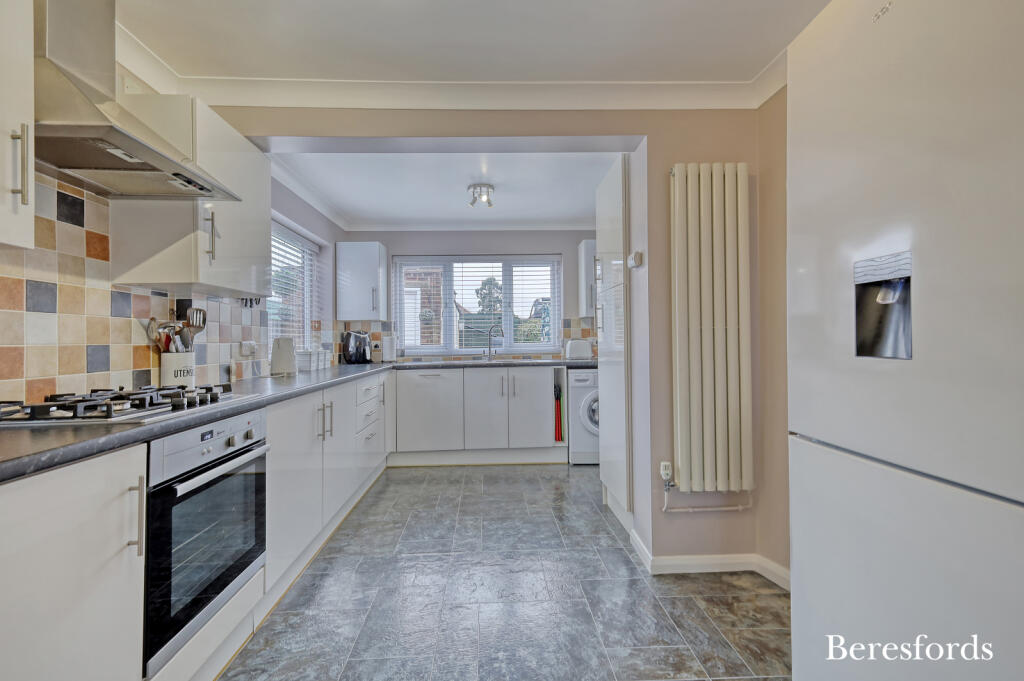
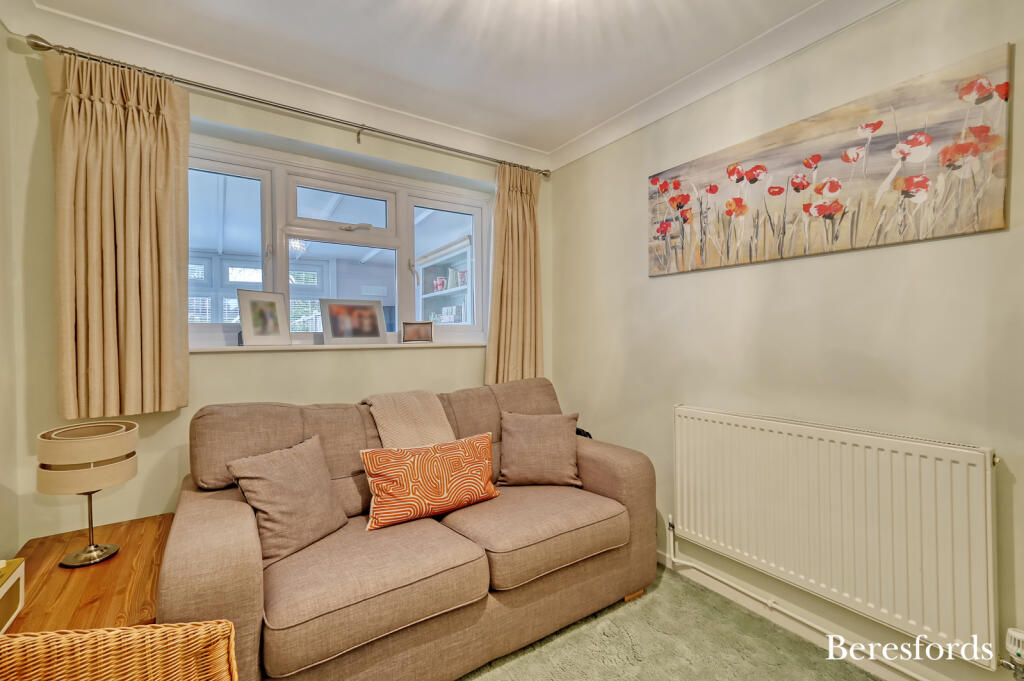
Beautifully presented from the very front of the bungalow right through to the end of the garden, this wonderful semi-detached bungalow offers the perfect blend of comfort and convenience. Situated close to local amenities, the Memorial Park and a short walk to Wickford railway station and high s...
Property Oracle says ..
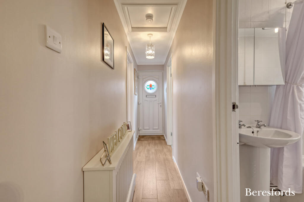
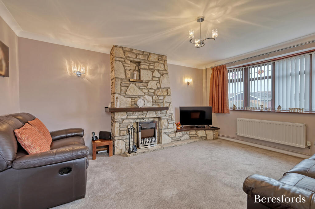
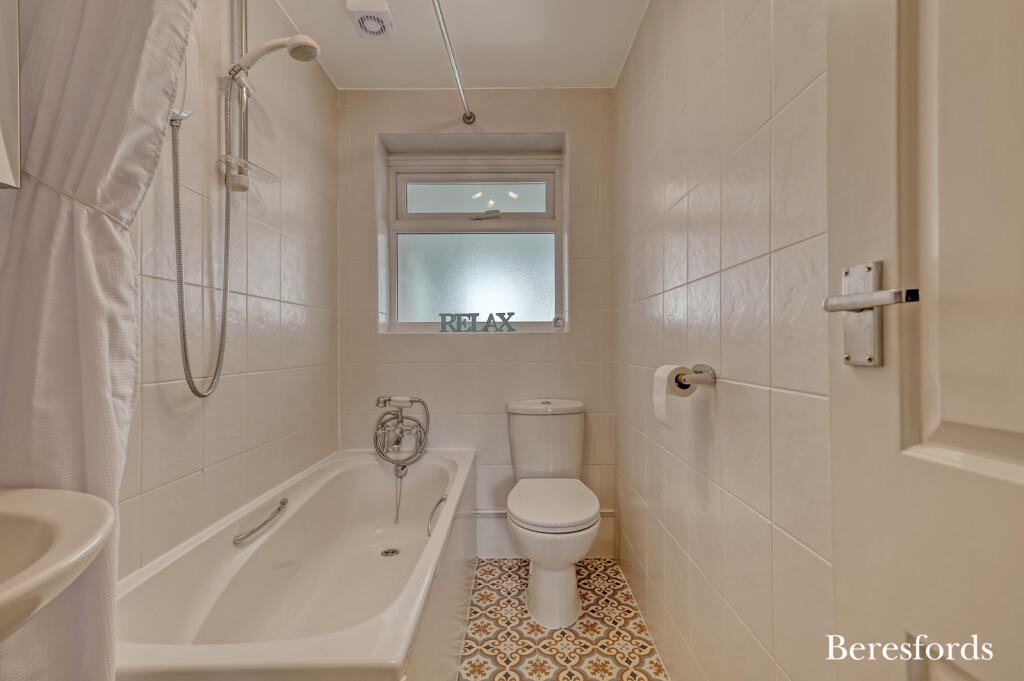
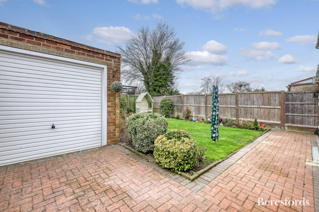
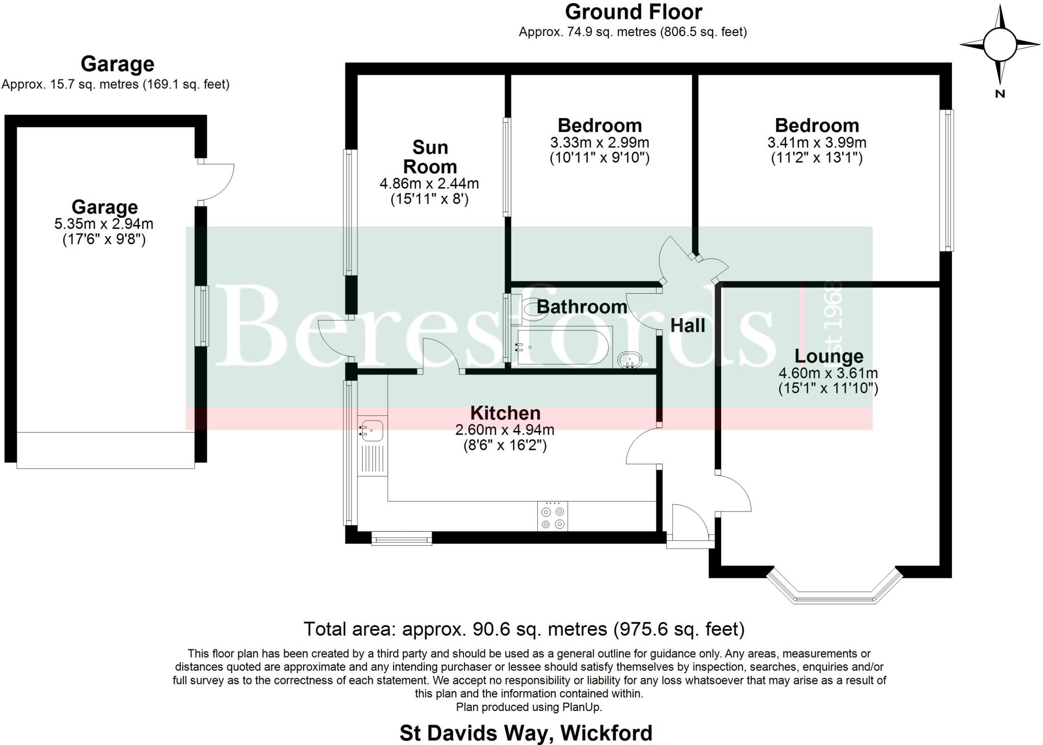
The property is a 2-bedroom, 1-bathroom bungalow situated in Wickford North, Basildon, Essex. It has a plot size of 975.21 sqft and an internal area of 979.52 sqft. The list price is £375,000. The property appears to be in good condition. Images show a well-maintained interior and exterior. The kitchen and bathroom seem recently updated, and the living areas are presented in a clean and tidy manner. There is evidence of a garden, which appears well-maintained. The location is positive, with nearby schools such as The Wickford Church of England School (Outstanding Ofsted rating) and Beauchamps High School (Outstanding Ofsted rating) within a reasonable distance. Wickford train station is also within close proximity, providing convenient access to London. The average house price in the area is £383,472, and the average price per square foot is £364. Considering the property’s condition, the presence of a garden, and its convenient location near good schools and transport links, the list price of £375,000 appears reasonable compared to the average house price and price per sqft in the area. The property is slightly smaller than the average property size in the area, which might justify the slightly lower price compared to the average. However, the nearby comparable properties show a range of prices, indicating some variability in the market.
Therefore, we give this property 7 / 10. *Disclaimer: This is our option and does constitute a recommendation or financial advice. Do your own research. *
- Price
- 7
- Condition
- 8
- Location
- 9
- Land
- 7
- Bedrooms
- 2
- Bathrooms
- 1
- Sqft (est)
- 979.52
- Lot (est)
- 975.21
The heatmap indicates the level of crime in the area. The color of the heatmap indicates the crime severity and recency.
Metrics Year-on-Year
- Average area value
- 407,536.00 £Decreased by 1.95 %
- Est sale value
- 496,616.64 £Increased by 71.28 %
- Average area rental value
- 1,217.00 £/moDecreased by 33.61 %
- Est letting value
- 979.52 £/moUnchanged by 0.00 %
- Est rental Yield
- 3.58 %Decreased by 32.33 %
- Crime Rate
- 5.00 %Unchanged by 0.00 %
Agent Activity
Beresfords created the listing.
Nearby Schools
| Name | Type | Ofsted | Distance |
|---|---|---|---|
| The Wickford Church Of England School | Academy Converter | Outstanding | 0.39 KM |
| Bas12 Highcliffe Family Hub Delivery Site | Children's Centre Linked Site | 0.75 KM | |
| Hilltop Infant School | Academy Converter | 1.00 KM | |
| Beauchamps High School | Foundation School | Outstanding | 1.10 KM |
| Oakfield Primary School | Community School | Good | 1.16 KM |
Images


Nearby Streets
| Name | Average Price | Average Sqft | Distance |
|---|---|---|---|
| Seven Acres | £ 309,167 | 0 | 0.00 KM |
| Radwinter Avenue | £ 0 | 0 | 0.00 KM |
| Merlin Way | £ 357,000 | 0 | 0.00 KM |
| Saxon Close | £ 0 | 0 | 0.00 KM |
| Johnson Close | £ 525,000 | 0 | 0.00 KM |
Nearby Transport
| Name | NLC | TLC | Distance |
|---|---|---|---|
| Wickford | 6891 | WIC | 1.52 KM |
| Battlesbridge | 6870 | BLB | 3.95 KM |
| Pitsea | 7452 | PSE | 6.34 KM |
| Rayleigh | 6884 | RLG | 7.86 KM |
| Benfleet | 7439 | BEF | 8.15 KM |
Nearby Listings
| Address | Price | Type | Score | Distance |
|---|---|---|---|---|
| St. Davids Way, Wickford, SS11 | £ 375,000 | BUY | 7 / 10 | 0.00 KM |
| St. Charles Drive, Wickford | £ 449,500 | BUY | Unknown | 0.08 KM |
| St. Charles Drive, Wickford, Essex | £ 400,000 | BUY | 6 / 10 | 0.08 KM |
| St. Charles Drive, Wickford, Essex, SS11 | £ 475,000 | BUY | 6 / 10 | 0.09 KM |
| Glebe Road, Wickford | £ 600,000 | BUY | 6 / 10 | 0.12 KM |
Nearby Properties
| Address | Price | Distance |
|---|---|---|
| 32 Glebe Road | £ 244,995 | 0.07 KM |
| 20 Glebe Road | £ 325,000 | 0.07 KM |
| 18 Glebe Road | £ 300,000 | 0.07 KM |
| 12 Glebe Road | £ 385,000 | 0.07 KM |
| 26 Glebe Road | £ 184,995 | 0.07 KM |