LY
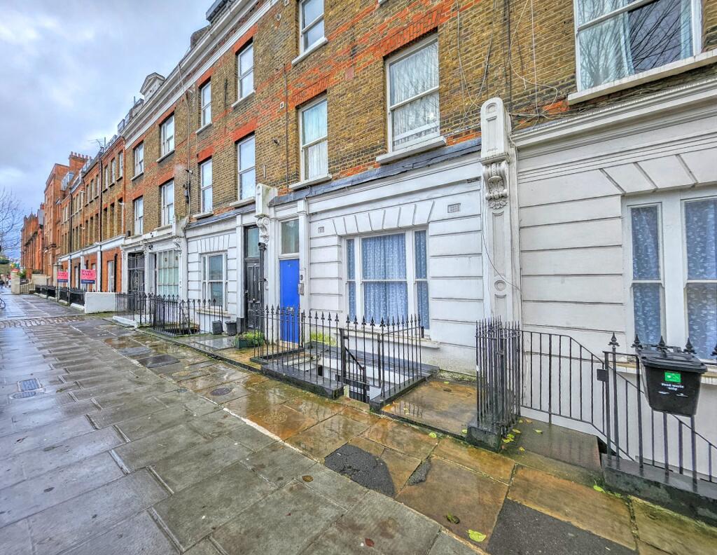
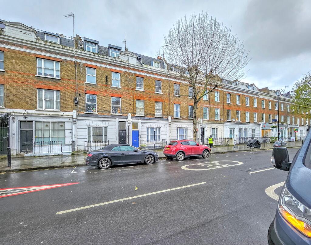
Shirland Road, London, W9
By Lyons London
£ 350,000
Lyons London says ..
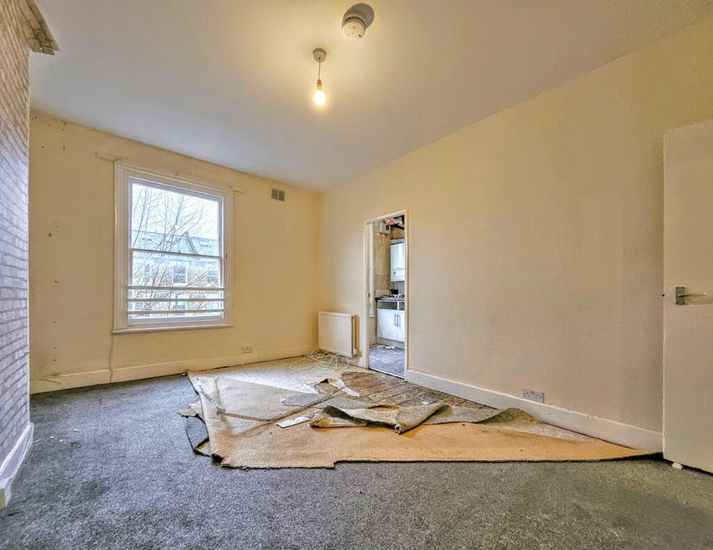
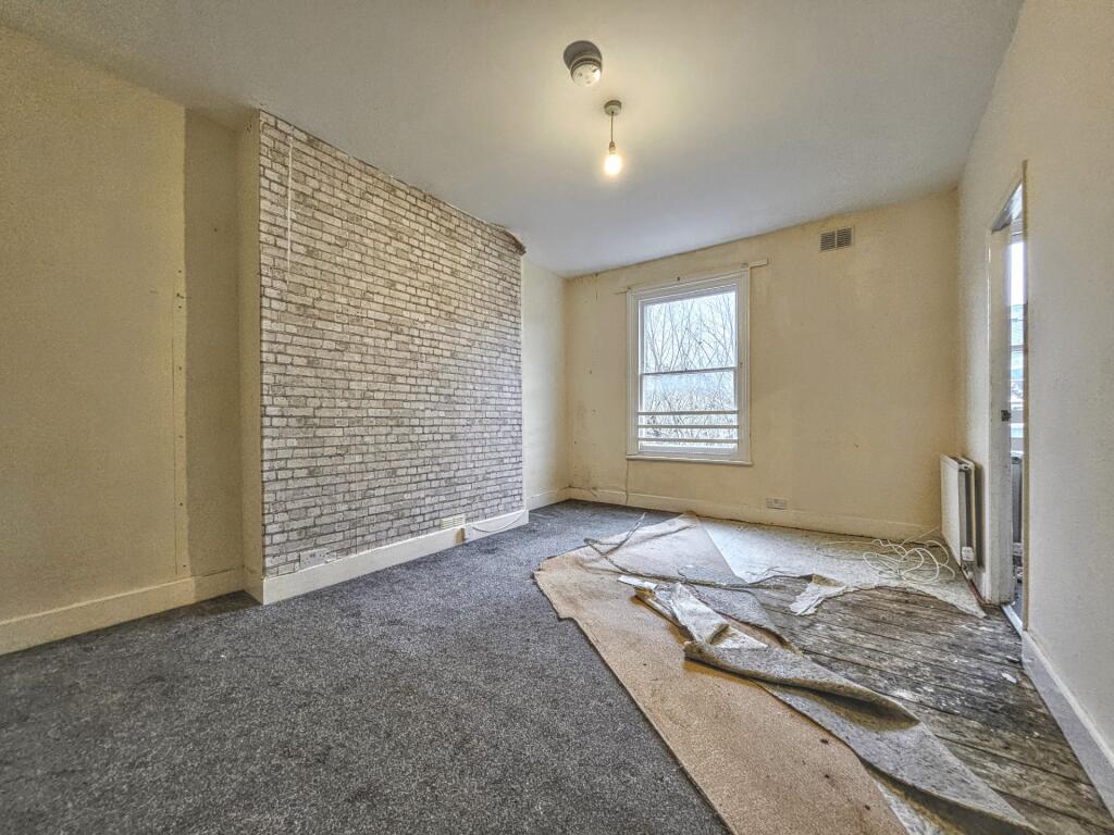
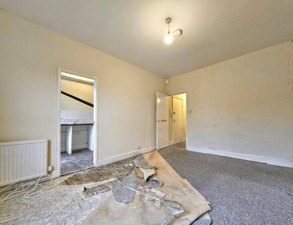
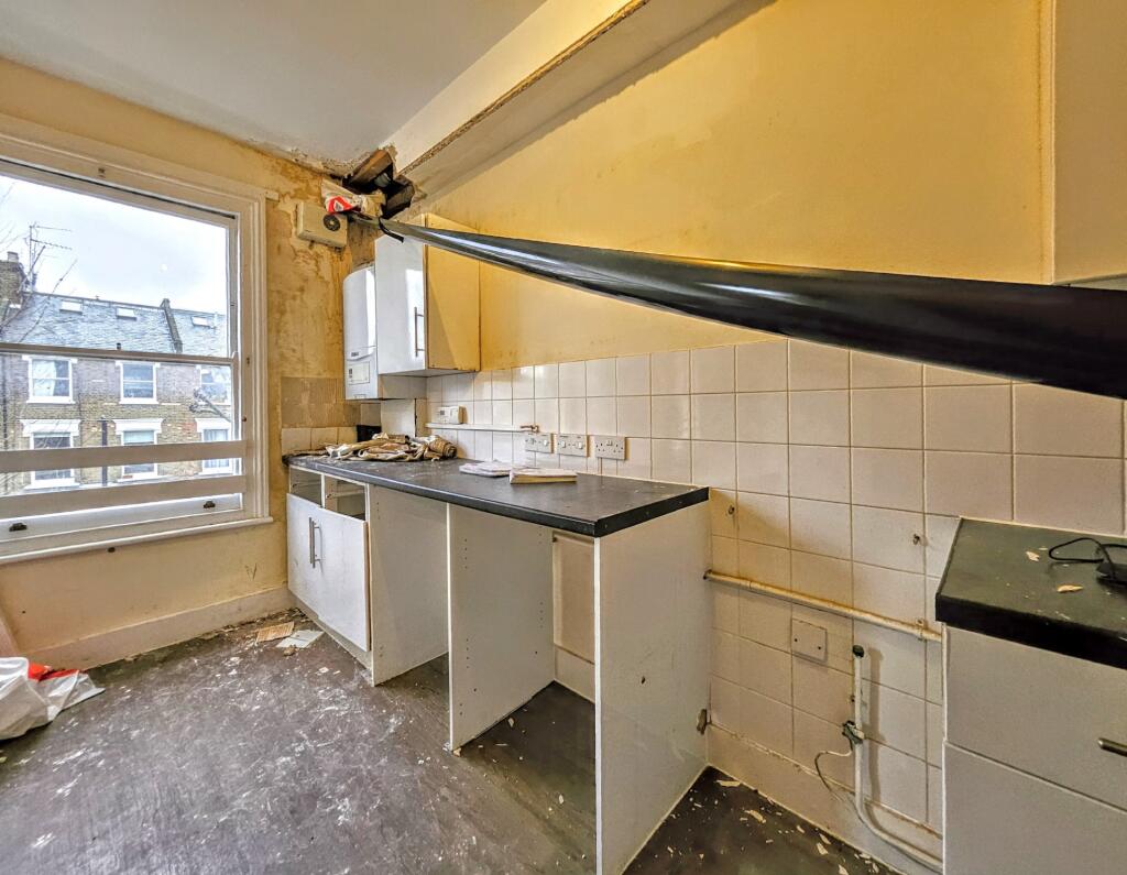
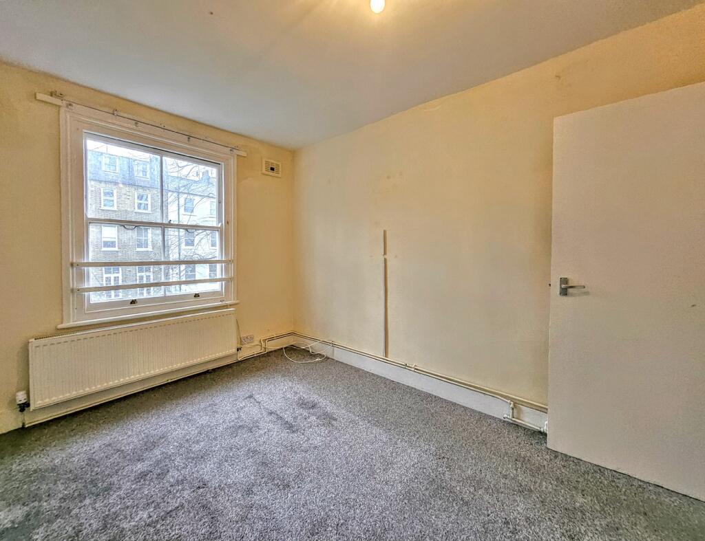
In need of MODERNISATION | Second Floor | Two double bedrooms | One Bathrooms | Bright Apartment | Superb Location | Close to Maida Vale Station (Bakerloo Line)
- Bedrooms
- 2
- Bathrooms
- 1
The heatmap indicates the level of crime in the area. The color of the heatmap indicates the crime severity and recency.
Metrics Year-on-Year
- Average area value
- 630,000.00 £Decreased by 29.87 %
- Average area rental value
- 2,249.00 £/moDecreased by 5.58 %
- Est rental Yield
- 4.28 %Increased by 34.59 %
- Crime Rate
- 6.00 %Unchanged by 0.00 %
from 898,380.00 £
from 2,382.00 £/mo
from 3.18 %
from 6.00 %
Agent Activity
Lyons London created the listing.
Nearby Schools
| Name | Type | Ofsted | Distance |
|---|---|---|---|
| Essendine Primary School | Community School | Good | 0.21 KM |
| Paddington Academy | Academy Sponsor Led | Outstanding | 0.23 KM |
| St Peter'S Cofe School | Voluntary Aided School | Good | 0.44 KM |
| Ark Atwood Primary Academy | Free Schools | Outstanding | 0.47 KM |
| St Mary Magdalene Cofe Primary School | Voluntary Aided School | Good | 0.63 KM |
Images


Nearby Streets
| Name | Average Price | Average Sqft | Distance |
|---|---|---|---|
| Thorngate Road | £ 800,000 | 0 | 0.00 KM |
| Shirland Road | £ 640,000 | 0 | 0.00 KM |
| Sutherland Avenue | £ 0 | 0 | 0.00 KM |
| Chippenham Mews | £ 800,000 | 0 | 0.00 KM |
| Woodfield Road | £ 0 | 0 | 0.00 KM |
Nearby Transport
| Name | NLC | TLC | Distance |
|---|---|---|---|
| Kilburn High Road | 1415 | KBN | 1.20 KM |
| Queens Park (London) | 1419 | QPW | 1.48 KM |
| Brondesbury | 1437 | BSY | 2.27 KM |
| Paddington | 3087 | PAD | 2.28 KM |
| South Hampstead | 1451 | SOH | 2.34 KM |
Nearby Properties
| Address | Price | Distance |
|---|---|---|
| 141 Shirland Road | £ 385,000 | 0.06 KM |
| 159d Shirland Road | £ 675,000 | 0.06 KM |
| 153a Shirland Road | £ 1,782,500 | 0.06 KM |
| 159c Shirland Road | £ 420,000 | 0.06 KM |
| 159b Shirland Road | £ 550,000 | 0.06 KM |