Berrys says ..
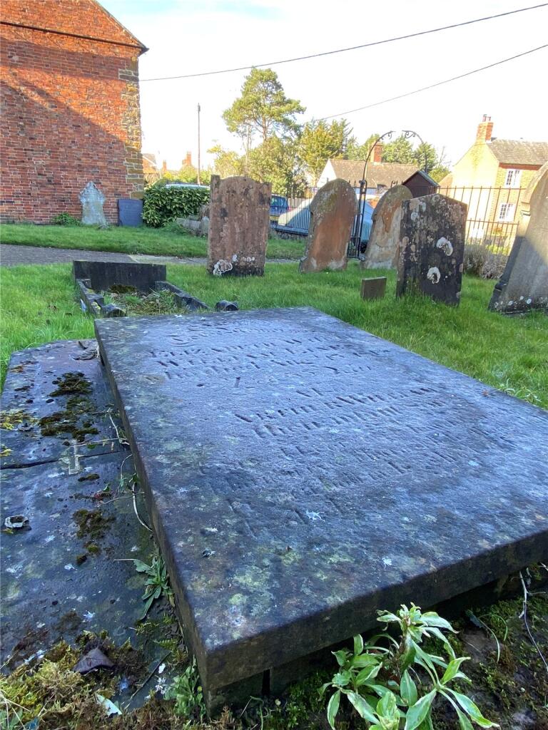
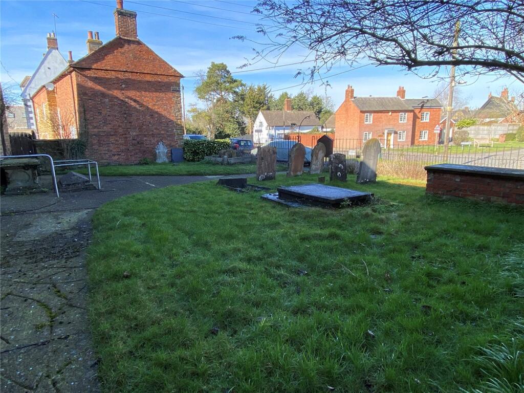
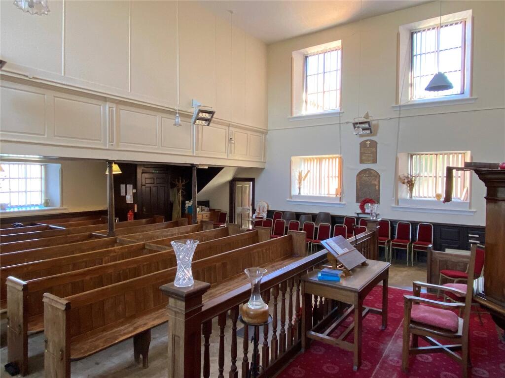
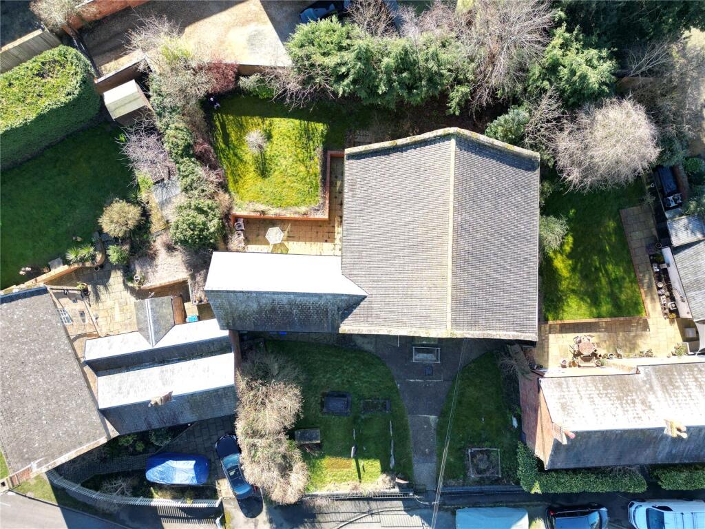
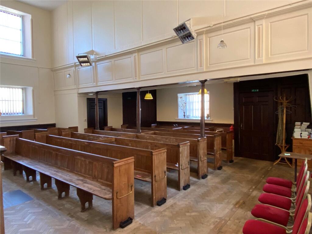
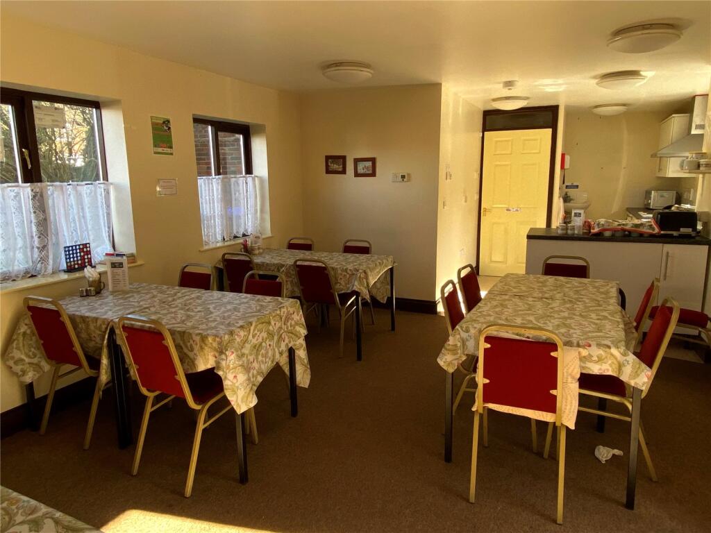
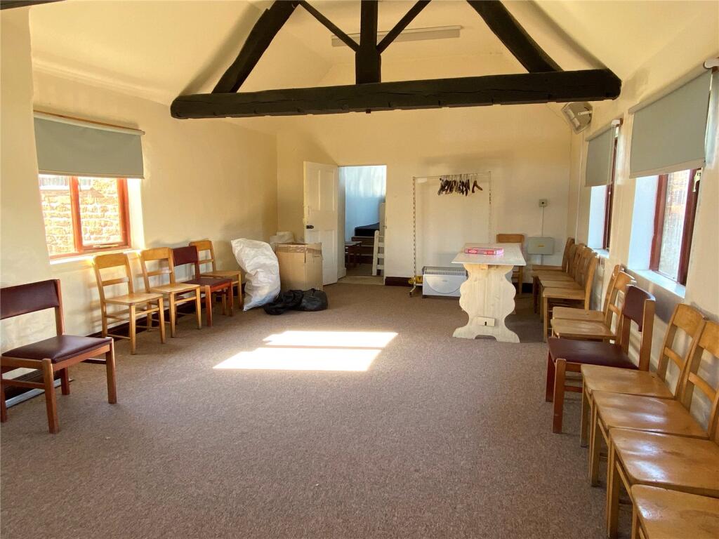
Dating back to circa 1784, this Grade II listed church has sat proudly in the middle of Kilsby community. A further brick and tile roof extension was added circa 1800. The brick built extension has previously been run as a cafe (up to December 2024). There are front and rear gardens, with the bac...
Property Oracle says ..
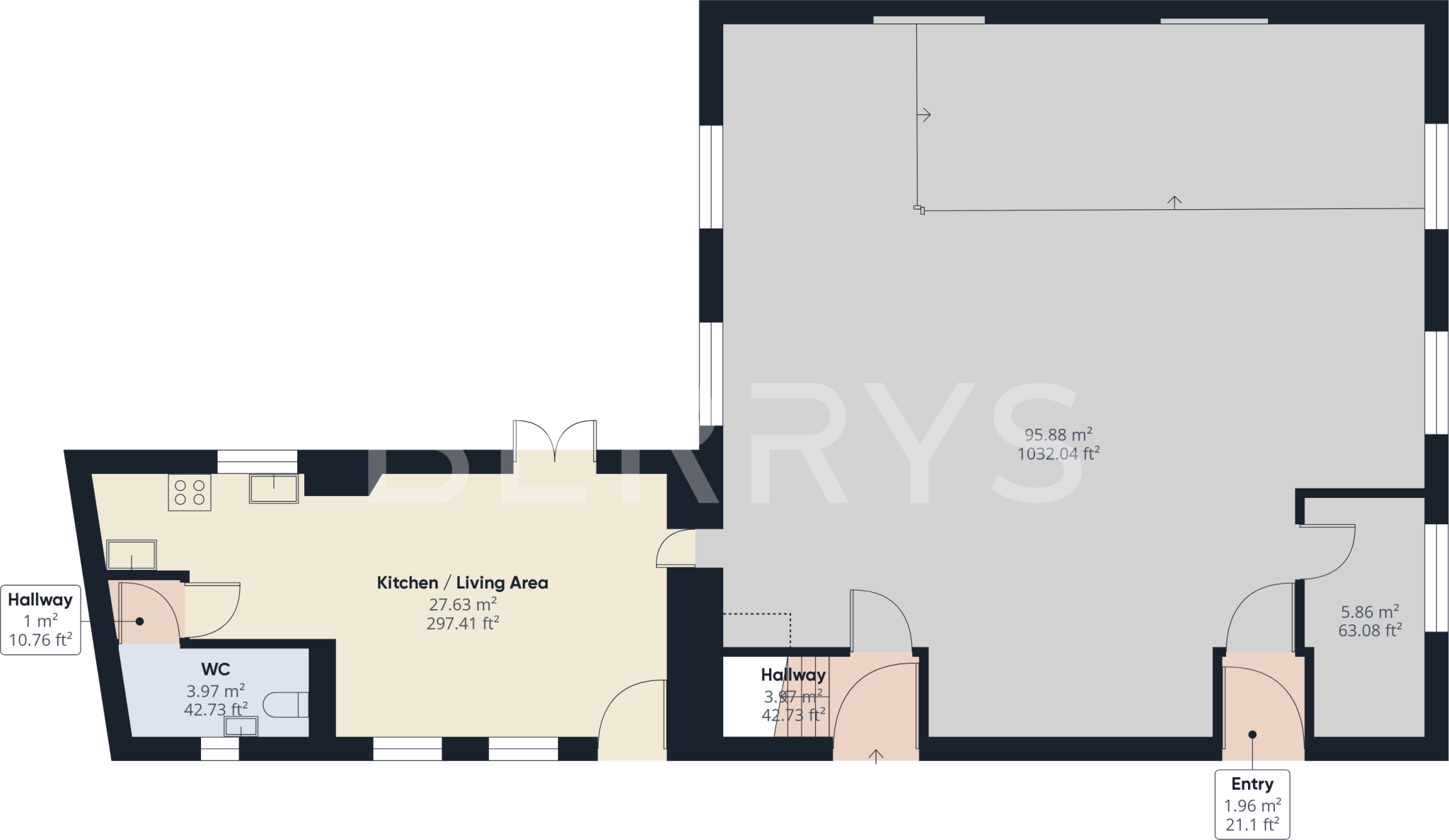
The property is a detached former United Reformed Church located in Kilsby, West Northamptonshire. The list price is £280,000, and the property has 767.36 sqft of space. Kilsby Church of England Primary School is 0.13km away and has a good Ofsted rating. Rugby train station is 9.61km away.
The property appears to be in good condition, though it is a former church building that has been converted. The conversion seems to have been completed to a reasonable standard, with a modern kitchen and various rooms suitable for different uses. The images show a clean and well-maintained interior. There is also some external space, though the exact size is not specified and appears to be limited.
Given the average house price in the area is £315,389 and the average price per sqft is £244, the list price of £280,000 for this 767.36 sqft property seems reasonable, particularly considering its unique character. However, the lack of bedrooms and bathrooms is a significant factor to consider, which would likely limit the potential buyer pool to those seeking a unique property for a specific purpose, such as conversion to residential use. The limited plot size is also a factor.
Nearby properties range in price from £165,000 to £800,000, reflecting a wide range of property types and sizes. The lack of sqft data for these properties makes direct comparison difficult.
Therefore, we give this property 6 / 10. *Disclaimer: This is our option and does constitute a recommendation or financial advice. Do your own research. *
- Price
- 7
- Condition
- 8
- Location
- 7
- Land
- 3
- Bedrooms
- 0
- Bathrooms
- 0
- Sqft (est)
- 767.36
The heatmap indicates the level of crime in the area. The color of the heatmap indicates the crime severity and recency.
Metrics Year-on-Year
- Average area value
- 418,457.00 £Increased by 12.54 %
- Est sale value
- 325,360.64 £Increased by 85.96 %
- Average area rental value
- 1,417.00 £/moIncreased by 5.59 %
- Est letting value
- 767.36 £/mo
- Est rental Yield
- 4.06 %Decreased by 6.24 %
- Crime Rate
- 34.00 %Unchanged by 0.00 %
Agent Activity
Berrys created the listing.
Nearby Schools
| Name | Type | Ofsted | Distance |
|---|---|---|---|
| Kilsby Church Of England Primary School | Academy Converter | Good | 0.13 KM |
| St Gabriel'S Cofe Academy | Free Schools | 2.75 KM | |
| Barby Church Of England Primary School | Academy Converter | Good | 3.45 KM |
| Houlton School | Free Schools | 3.91 KM | |
| Crick Primary School | Community School | Good | 4.73 KM |
Images


Nearby Transport
| Name | NLC | TLC | Distance |
|---|---|---|---|
| Rugby | 1087 | RUG | 9.61 KM |
Nearby Listings
| Address | Price | Type | Score | Distance |
|---|---|---|---|---|
| Chapel Street, Kilsby, CV23 | £ 280,000 | BUY | 6 / 10 | 0.00 KM |
| Daventry Road, KILSBY, Warwickshire, CV23 | £ 260,000 | BUY | 7 / 10 | 0.08 KM |
| Malt Mill Green, Kilsby | £ 300,000 | BUY | Unknown | 0.08 KM |
| Chapel Street, Kilsby, Rugby, CV23 | £ 759,000 | BUY | Unknown | 0.09 KM |
| Manor Road, Kilsby, Rugby, CV23 | £ 475,000 | BUY | Unknown | 0.12 KM |
Nearby Properties
| Address | Price | Distance |
|---|---|---|
| 26 Daventry Road | £ 325,000 | 0.11 KM |
| 7 Manor Road | £ 328,000 | 0.12 KM |
| 2 Manor Road | £ 165,000 | 0.12 KM |
| 5 Manor Road | £ 295,000 | 0.12 KM |
| 6 Manor Road | £ 229,950 | 0.12 KM |