Sandersons says ..
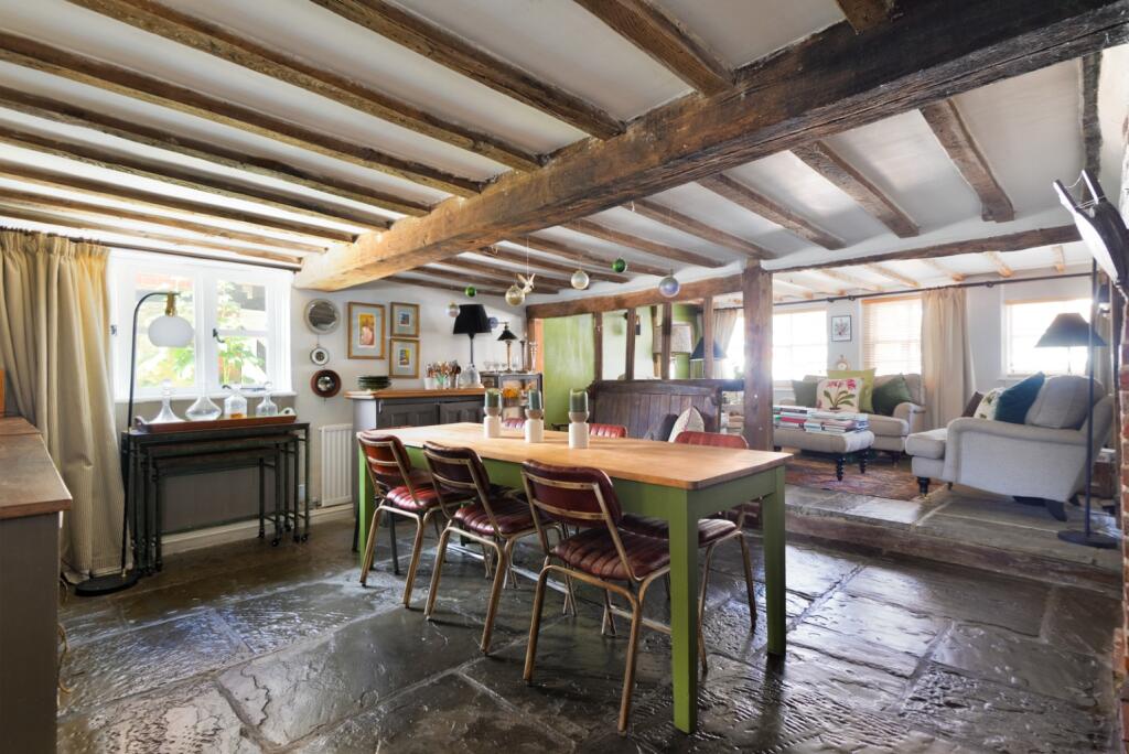
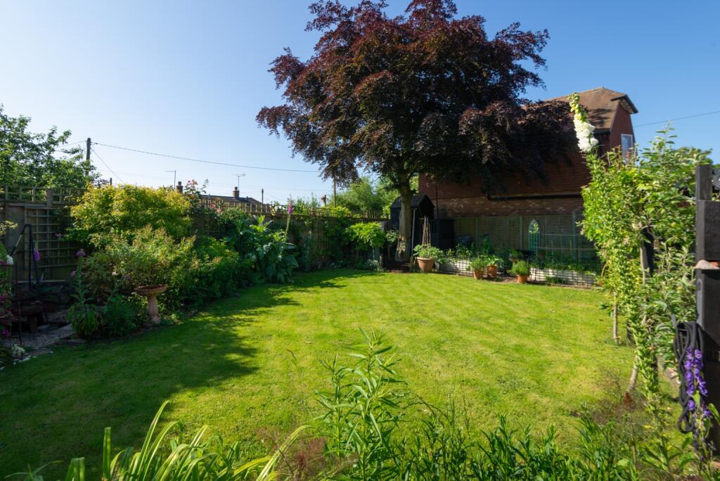
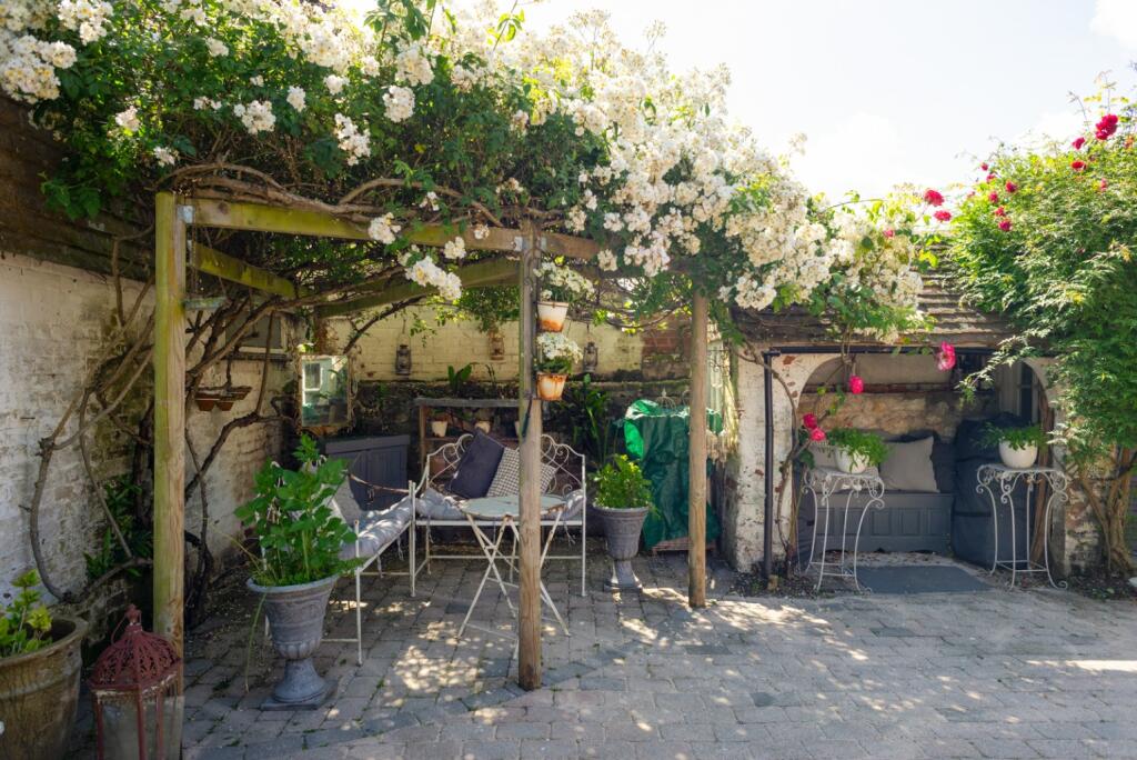
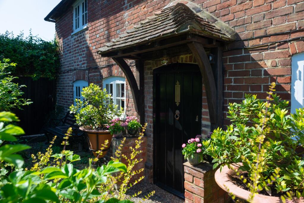
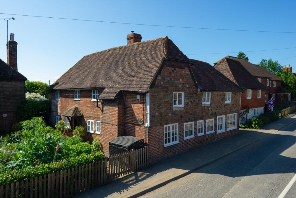
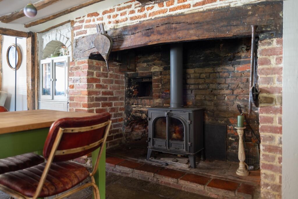
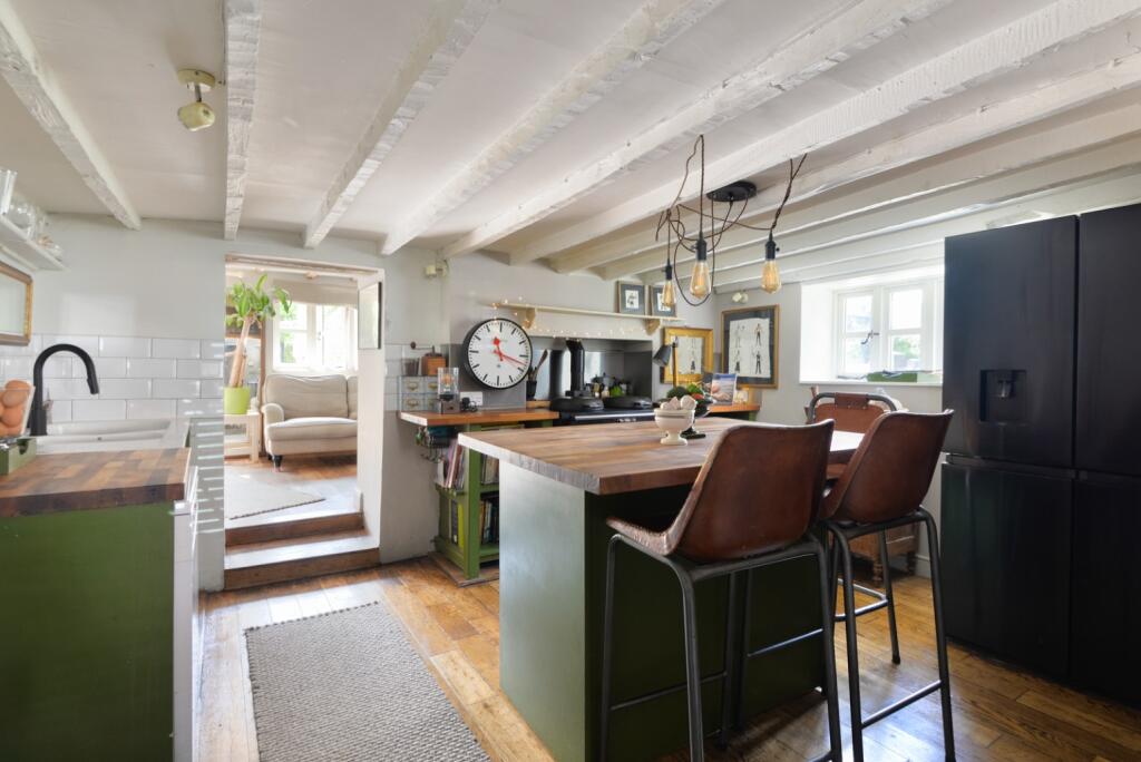
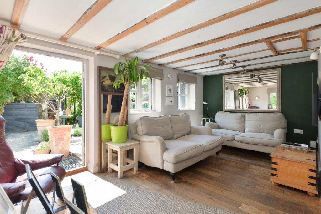
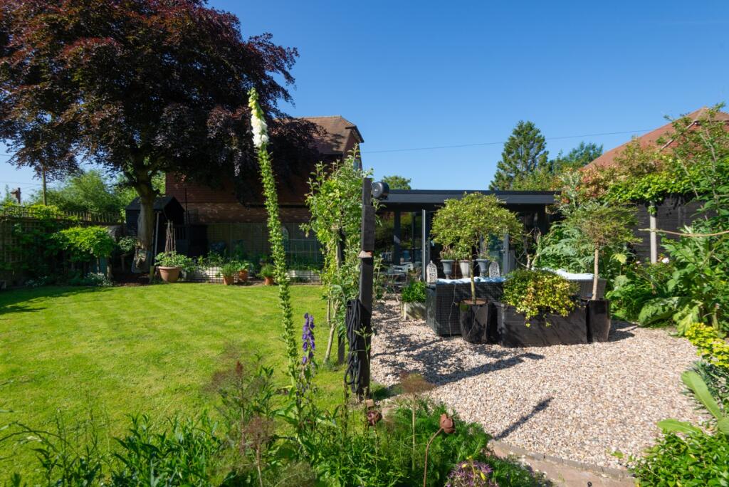
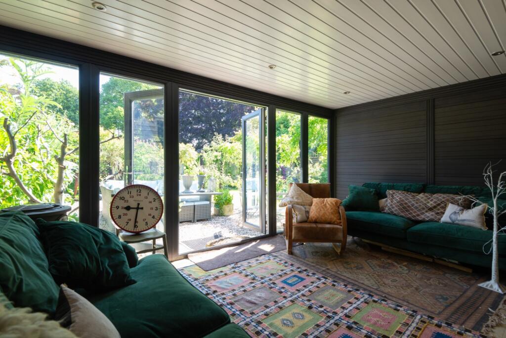
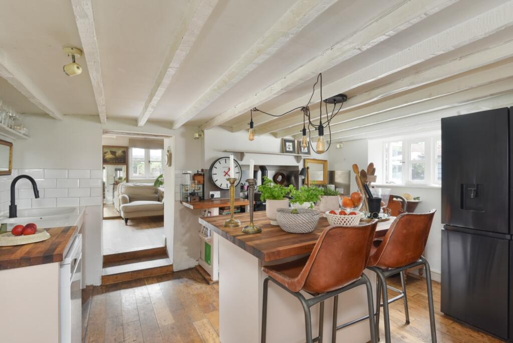
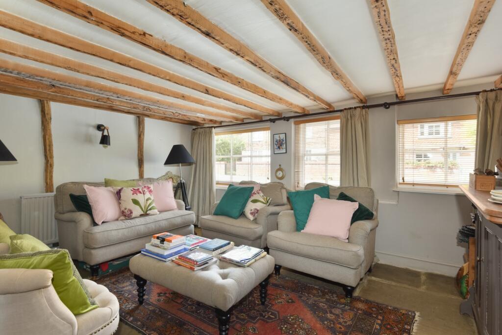
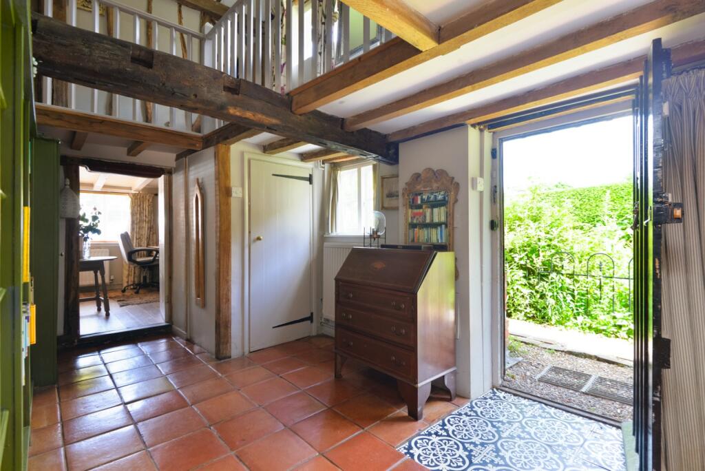
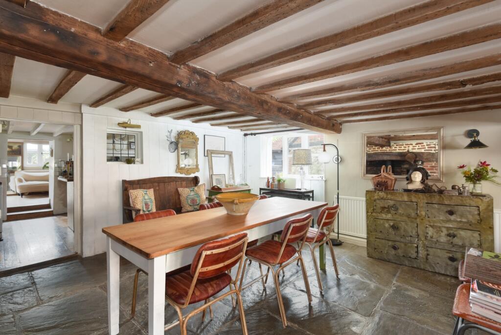
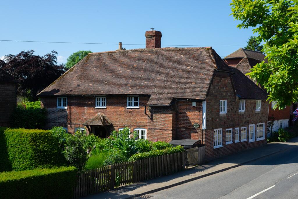
Guide Price £700,000 - £750,000. Charming 17th-century home with original beams, fireplaces & bakery ovens. 5 beds, 4 reception rooms & enchanting garden with cabin. Station just over 2 miles & nearby primary & secondary schools
Property Oracle says ..
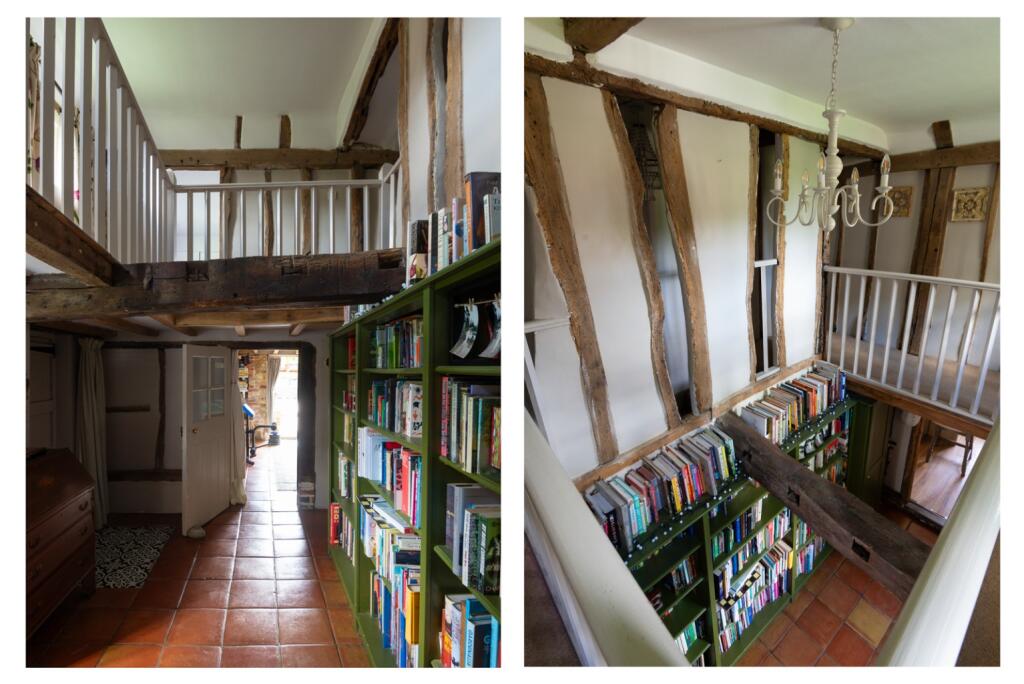
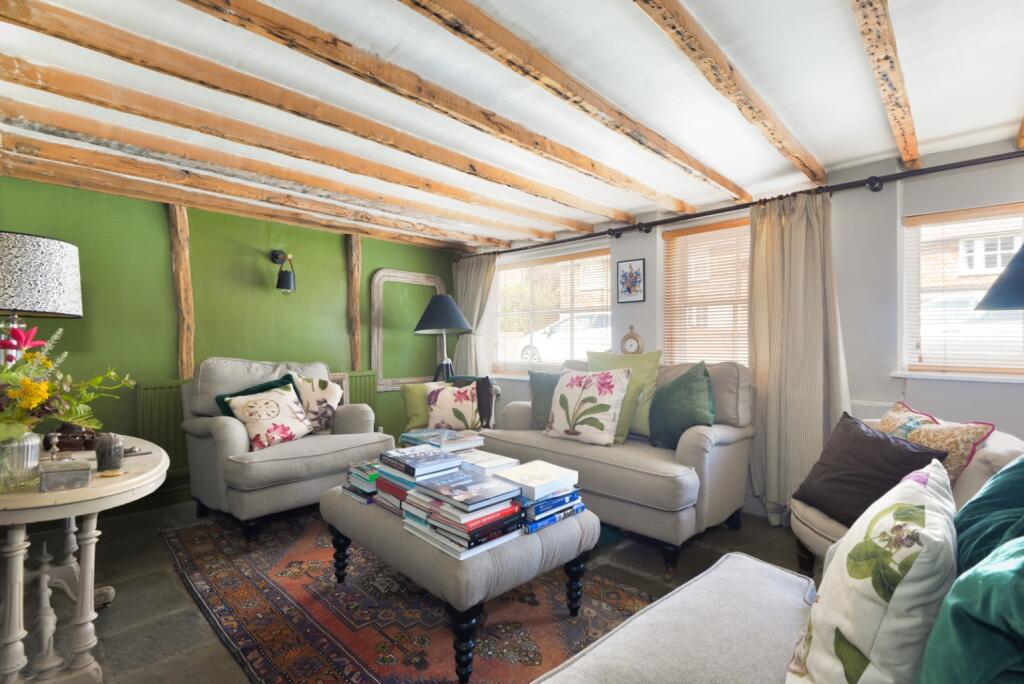
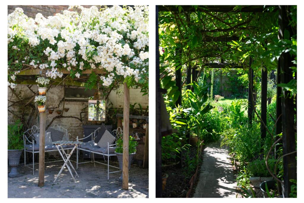
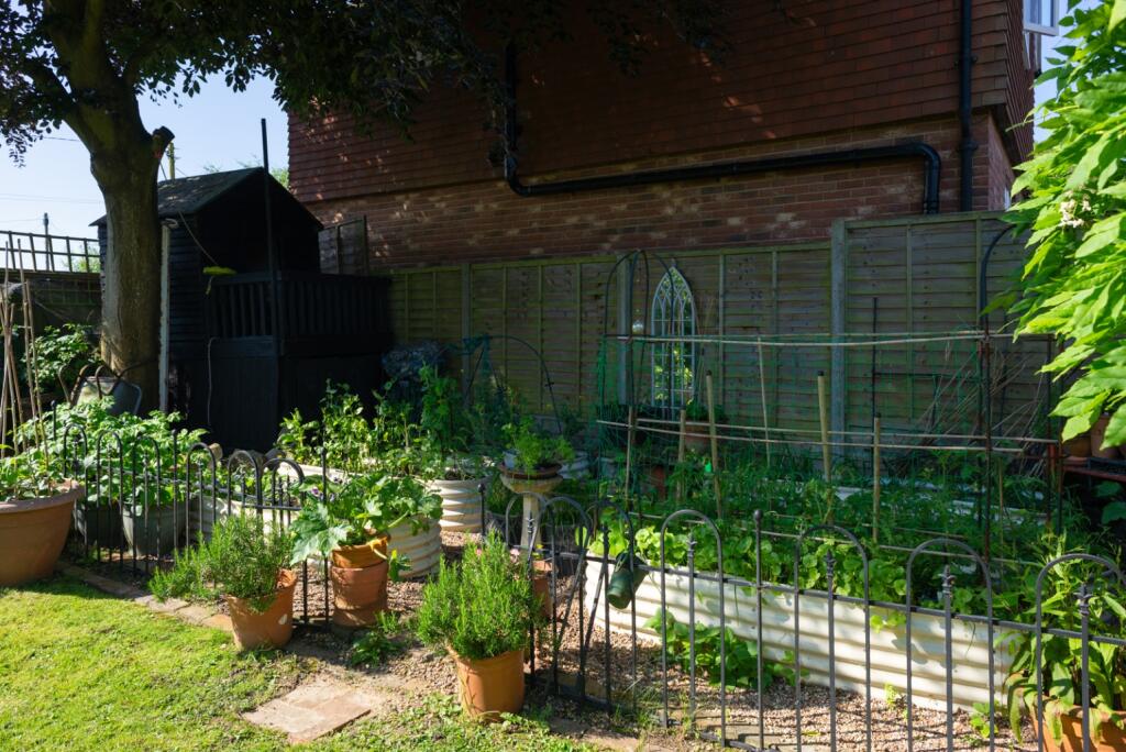
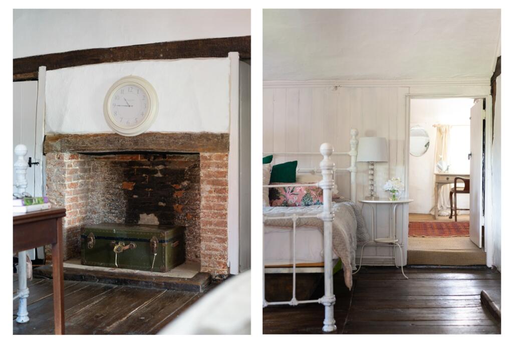
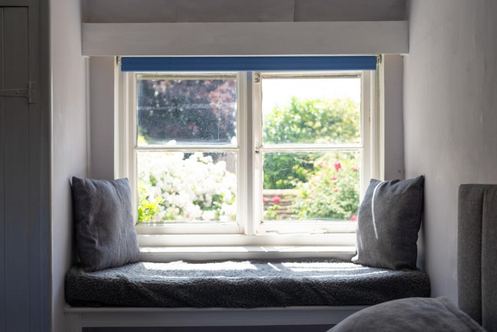
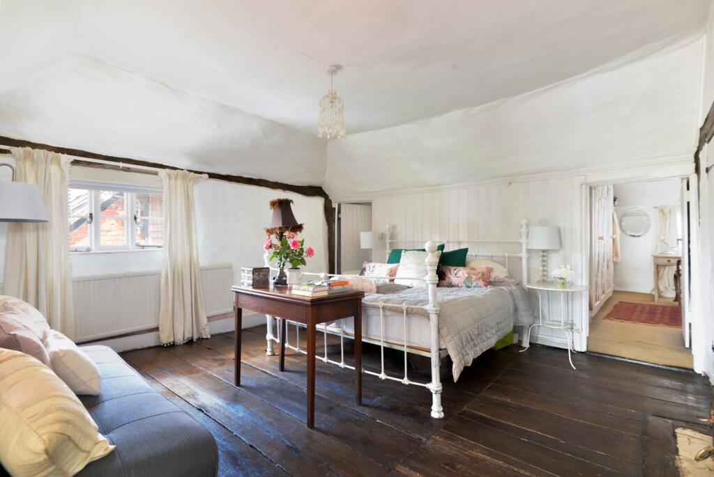
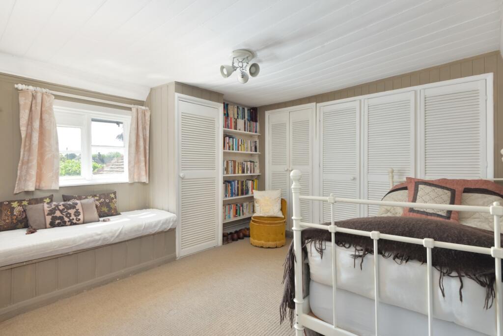
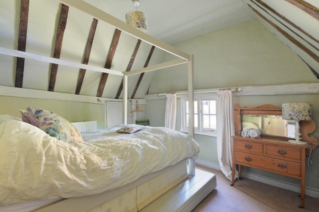
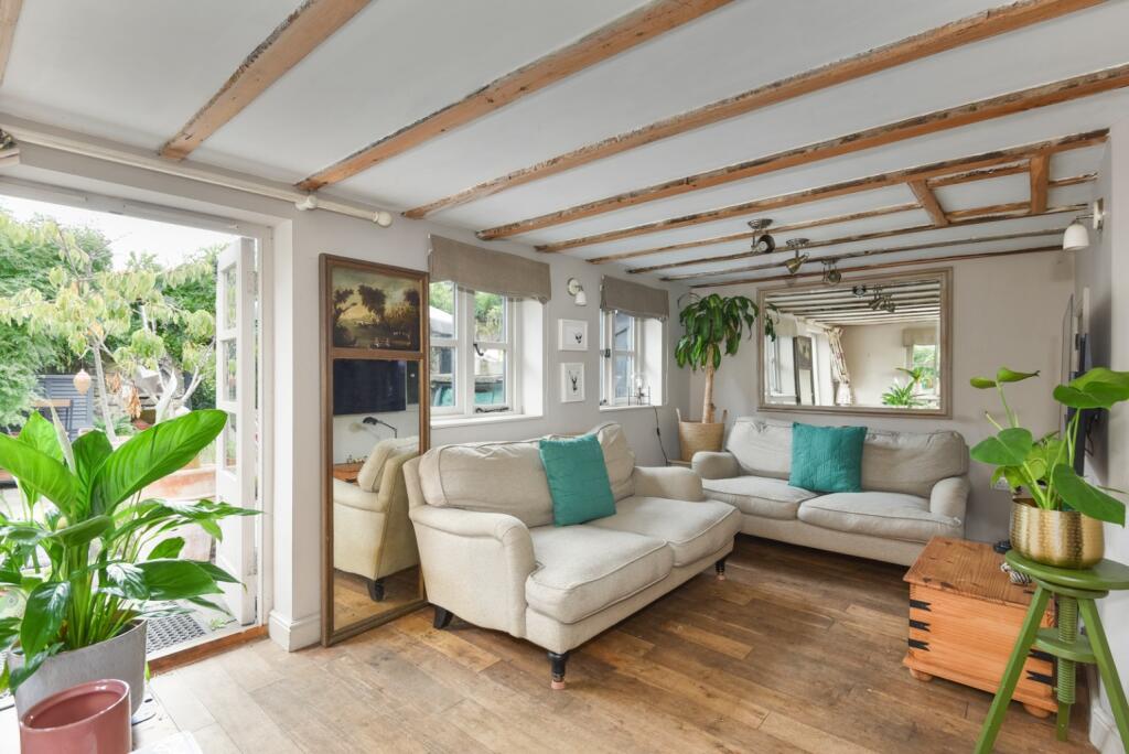
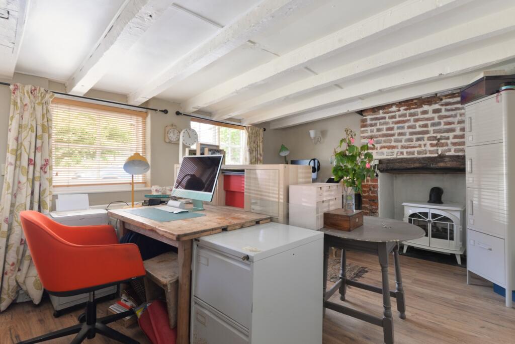
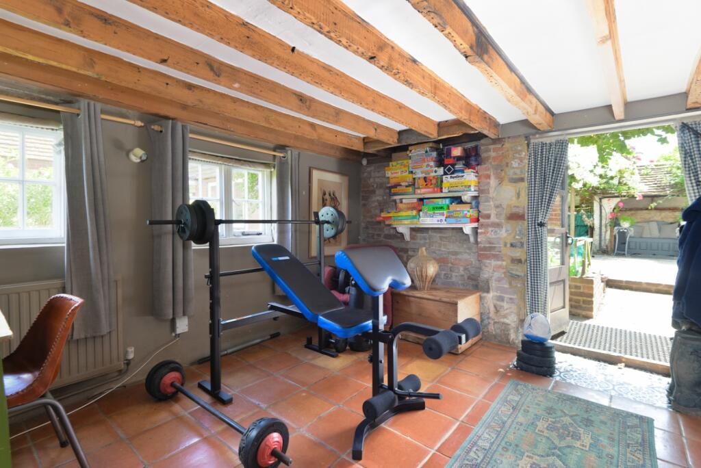
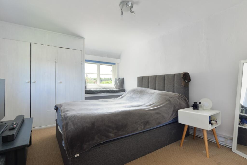
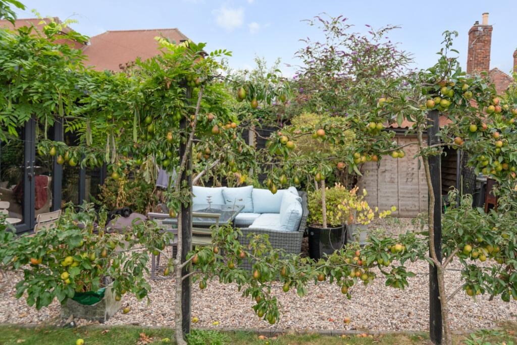
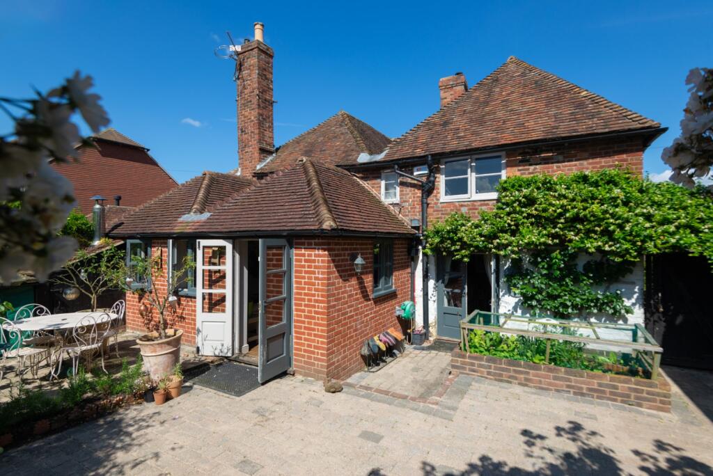
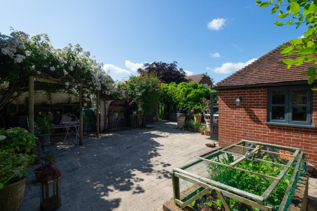
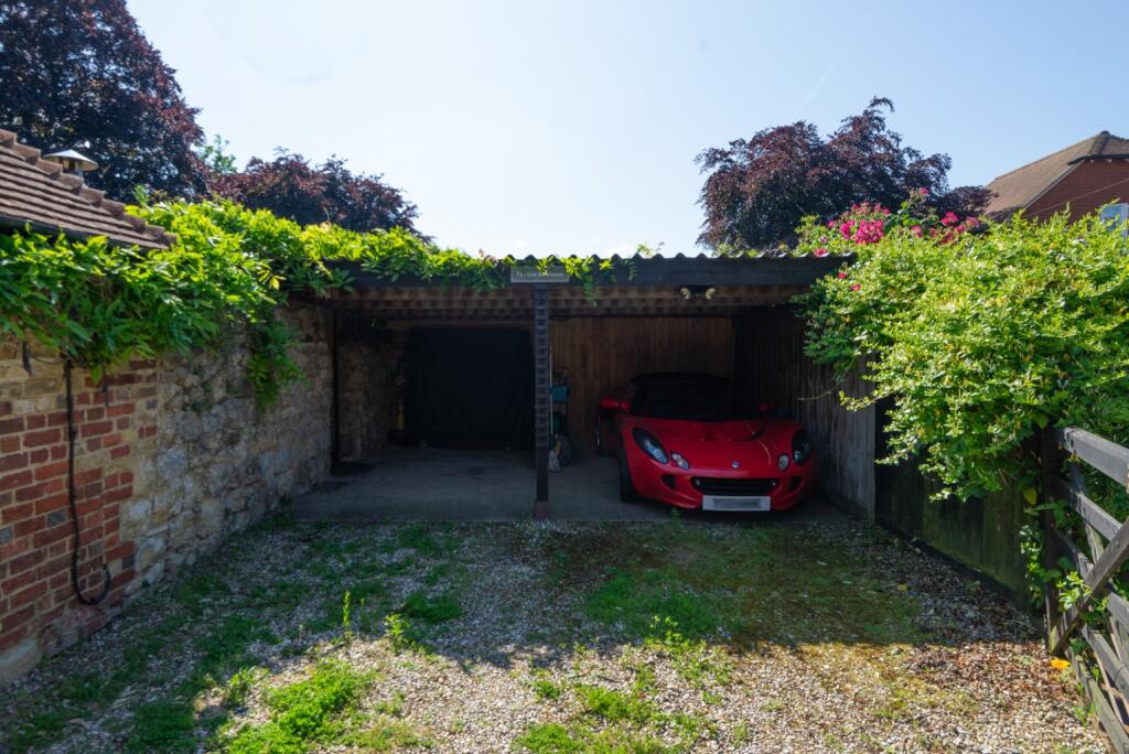
The property is a 4-bedroom, 2-bathroom cottage located in Great Chart, Ashford, Kent. It has a list price of £700,000 and a plot size of 2,724.35 sqft. The property is a period property with exposed beams and character features throughout. It appears to be in good condition, well-maintained, and tastefully decorated. The garden is a significant feature, offering a substantial outdoor space.
The location in Great Chart benefits from being relatively close to several highly-rated primary schools, including Great Chart Primary School and Goldwyn School, both rated as Outstanding by Ofsted. Ashford International train station is within a reasonable commuting distance, providing access to London and other major cities.
Considering the average house price in the area is £278,019, and the average price per sqft is £315, this property’s price per sqft is significantly higher. However, the larger plot size, the period features, and the overall condition of the property justify a higher price than the average. The property is larger than average, at 2,080.66 sqft, compared to the average of 880 sqft. The additional land and desirable features contribute to the higher list price. While some comparable properties are listed at lower prices, they lack the size, condition, and features of this cottage. The higher price reflects the premium associated with a well-maintained period property with a substantial garden in a desirable location.
Therefore, we give this property 8 / 10. *Disclaimer: This is our option and does constitute a recommendation or financial advice. Do your own research. *
- Price
- 7
- Condition
- 9
- Location
- 8
- Land
- 8
- Bedrooms
- 4
- Bathrooms
- 2
- Sqft (est)
- 2,080.66
- Lot (est)
- 2,724.35
The heatmap indicates the level of crime in the area. The color of the heatmap indicates the crime severity and recency.
Metrics Year-on-Year
- Average area value
- 257,097.00 £Decreased by 8.25 %
- Est sale value
- 686,617.80 £Increased by 14.98 %
- Average area rental value
- 956.00 £/moIncreased by 1.92 %
- Est letting value
- 2,080.66 £/mo
- Est rental Yield
- 4.46 %Increased by 10.95 %
- Crime Rate
- 23.00 %Unchanged by 0.00 %
Agent Activity
Sandersons created the listing.
Nearby Schools
| Name | Type | Ofsted | Distance |
|---|---|---|---|
| Great Chart Primary School | Community School | Outstanding | 1.10 KM |
| The Wyvern School (Buxford) | Foundation Special School | Good | 1.25 KM |
| The John Wesley Church Of England Methodist Voluntary Aided Primary School | Voluntary Aided School | Good | 1.42 KM |
| Godinton Primary School | Academy Converter | Good | 1.57 KM |
| Goldwyn School | Foundation Special School | Outstanding | 1.81 KM |
Images


Nearby Streets
| Name | Average Price | Average Sqft | Distance |
|---|---|---|---|
| Great Chart Bypass | £ 0 | 0 | 0.00 KM |
| Rowan Close | £ 0 | 0 | 0.00 KM |
| Honeyfield | £ 0 | 0 | 0.00 KM |
| Aspen Drive | £ 0 | 0 | 0.00 KM |
| Bay Side | £ 402,778 | 0 | 0.00 KM |
Nearby Transport
| Name | NLC | TLC | Distance |
|---|---|---|---|
| Ashford International | 5004 | AFK | 4.75 KM |
| Charing (Kent) | 5097 | CHG | 8.52 KM |
| Ham Street | 5037 | HMT | 8.80 KM |
| Pluckley | 5225 | PLC | 9.58 KM |
Nearby Listings
| Address | Price | Type | Score | Distance |
|---|---|---|---|---|
| The Street, Great Chart | £ 700,000 | BUY | 8 / 10 | 0.00 KM |
| The Street, Great Chart, Ashford, Kent, TN23 | £ 230,000 | BUY | Unknown | 0.07 KM |
| Waterside Terrace, Great Chart, Ashford, TN23 | £ 625,000 | BUY | 7 / 10 | 0.15 KM |
| Singleton Road, Great Chart, TN23 3BA | £ 900,000 | BUY | 7 / 10 | 0.25 KM |
| Singleton Road,Great Chart,Ashford,Kent,TN23 3BA | £ 350,000 | BUY | Unknown | 0.26 KM |
Nearby Properties
| Address | Price | Distance |
|---|---|---|
| 3 Forge Cottages | £ 255,000 | 0.02 KM |
| 2 Forge Cottages | £ 160,000 | 0.02 KM |
| 12 The Street | £ 118,000 | 0.04 KM |
| Grove Cottage | £ 247,500 | 0.04 KM |
| 29 Coronation Drive | £ 168,000 | 0.15 KM |