eXp UK says ..
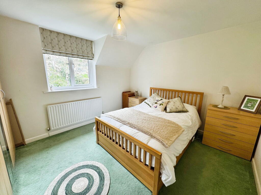
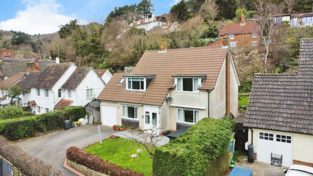
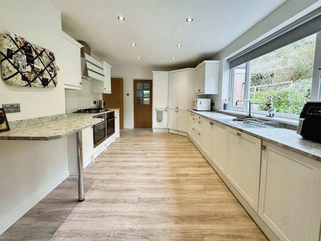
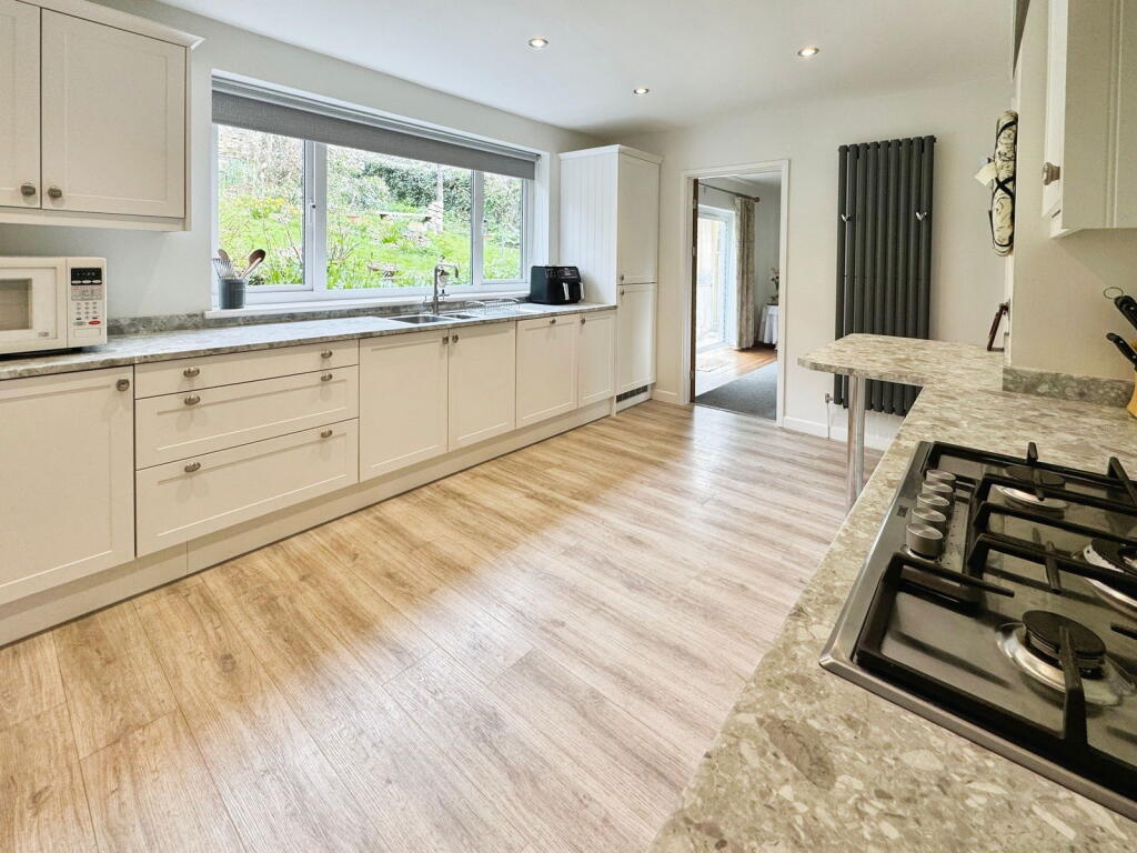
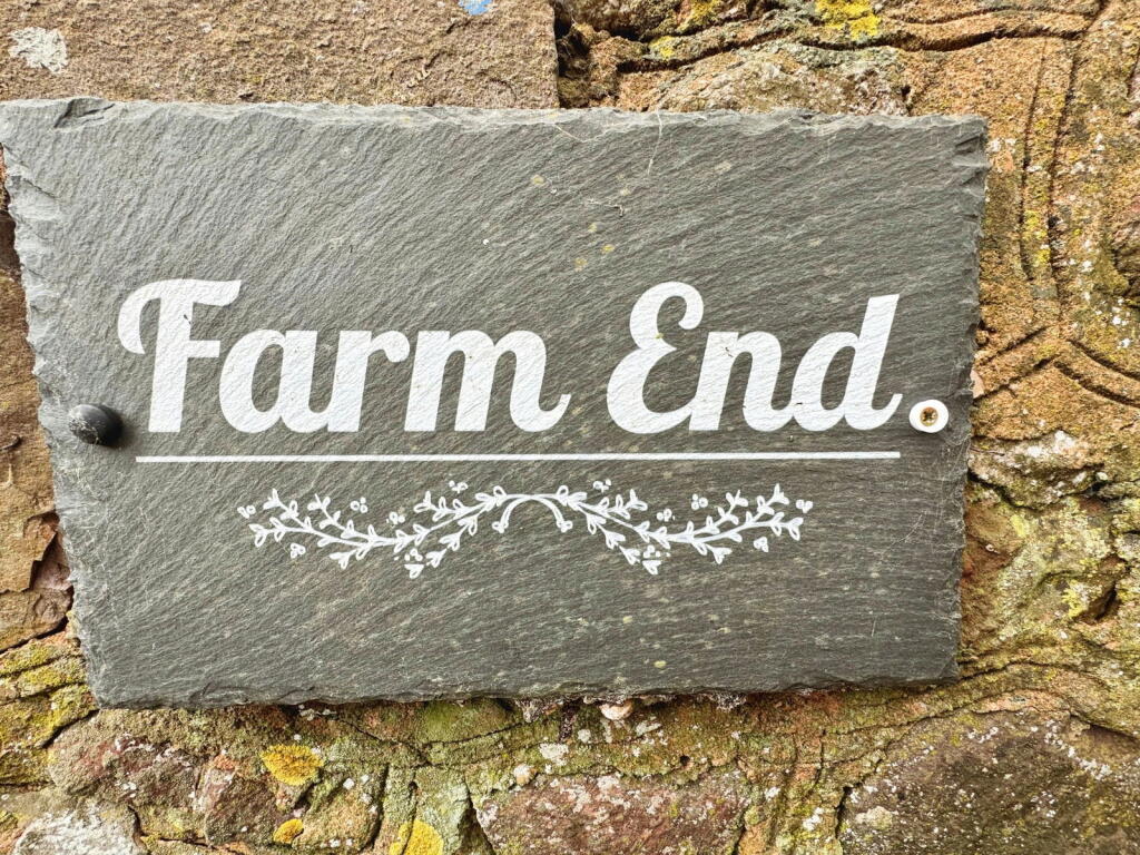
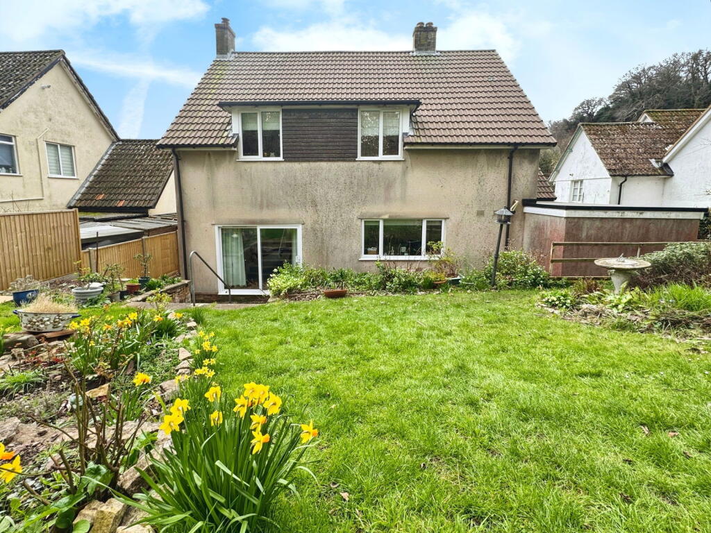
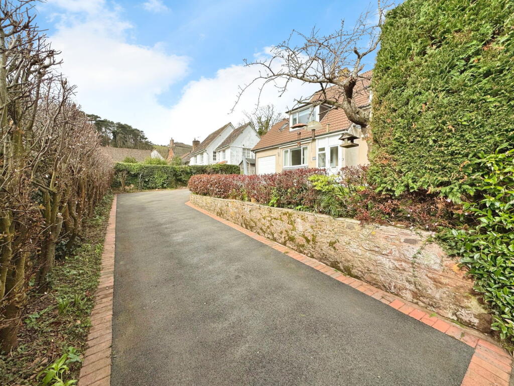
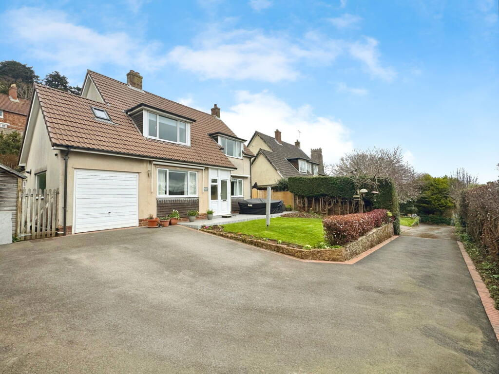
Reference Number: RS0802 Positioned in the highly sought-after North Hill area of Minehead, this beautifully modernised four-bedroom detached home offers breathtaking countryside views and a perfect balance of style, comfort, and practicality. Featuring spacious living areas, a stunning k...
Property Oracle says ..
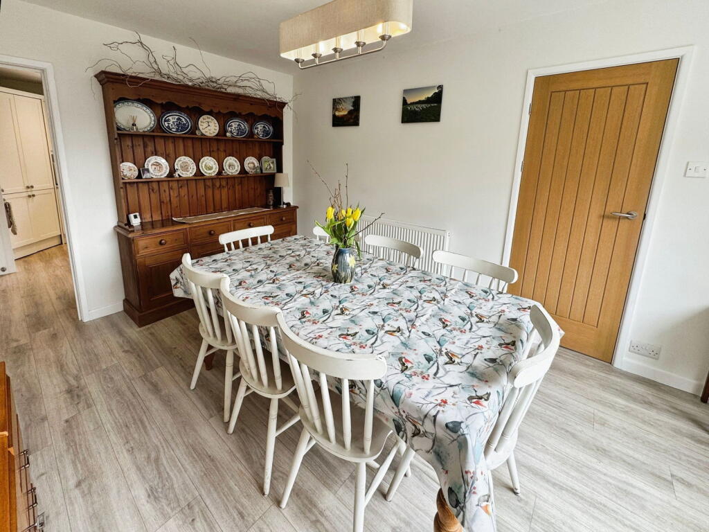
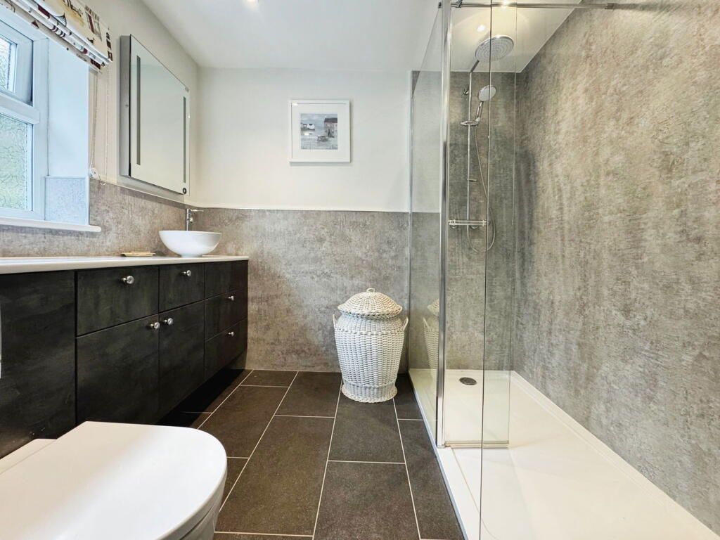
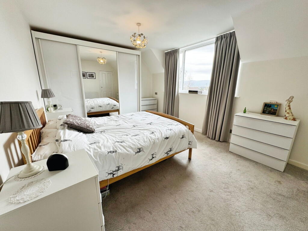
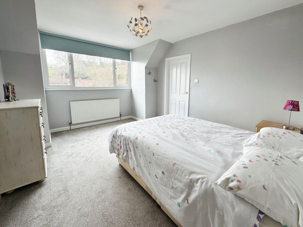
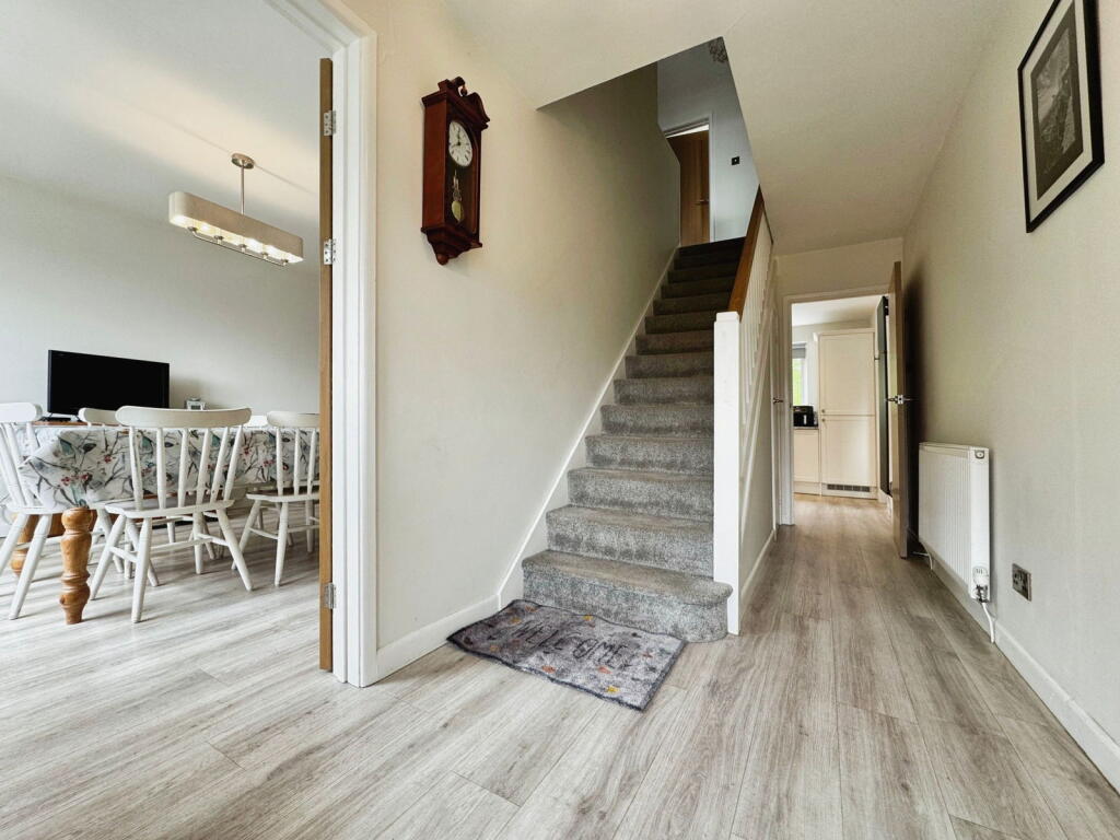
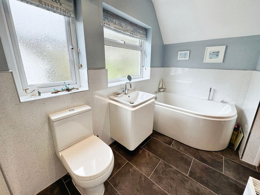
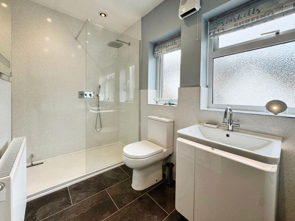
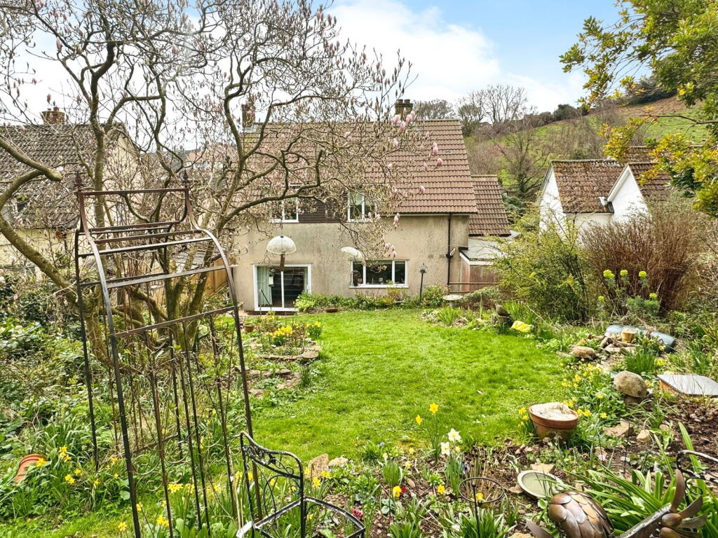
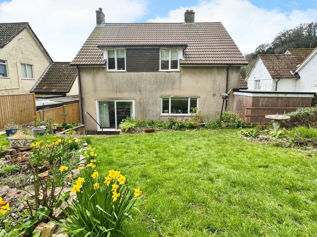
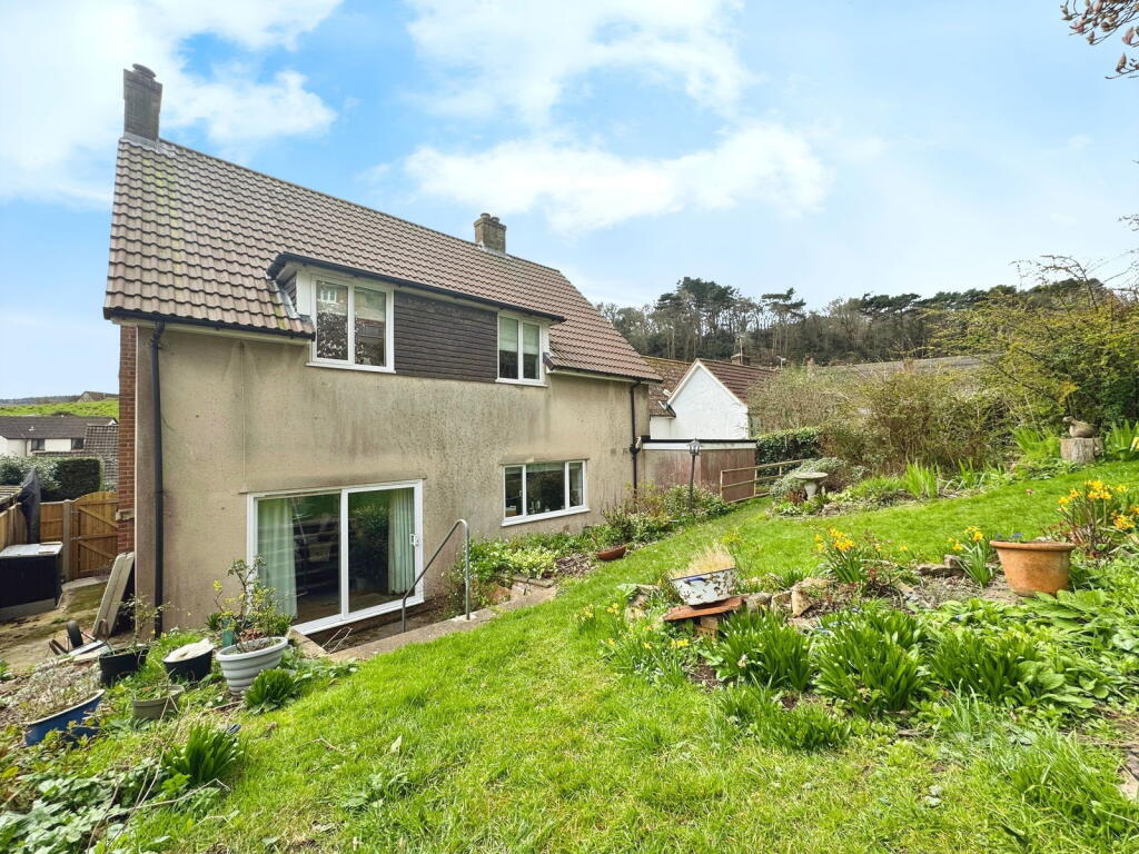
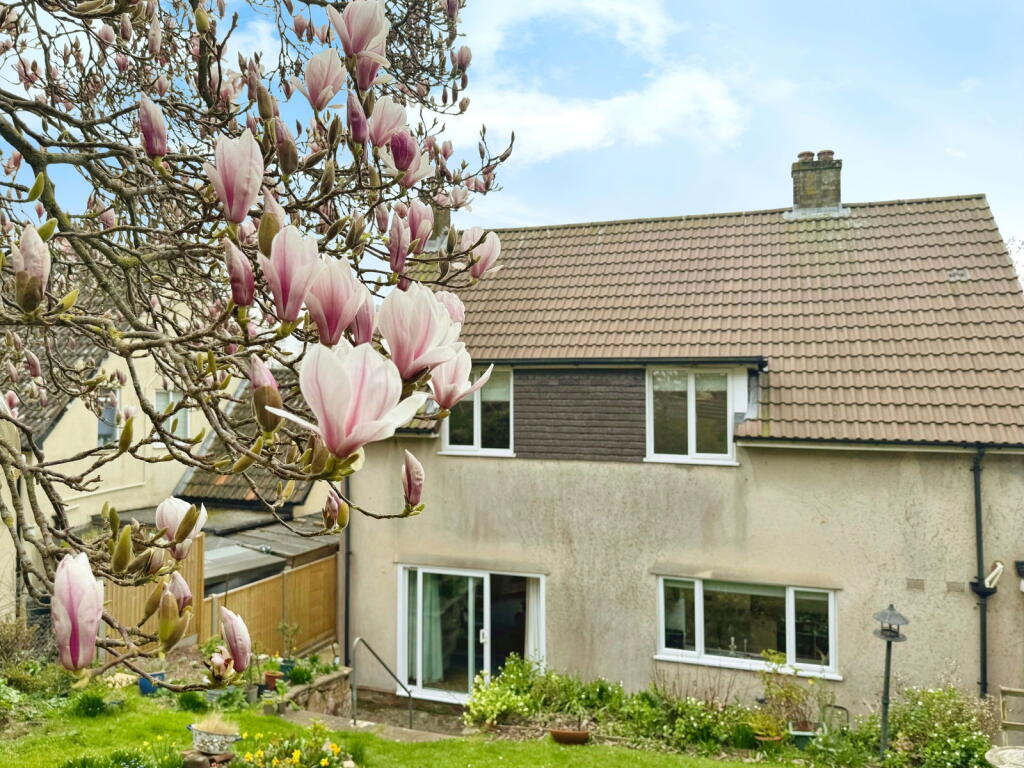
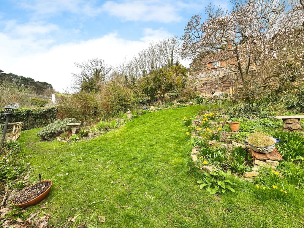
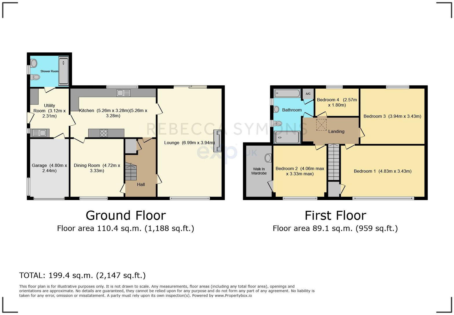
Farm End is a four-bedroom, two-bathroom detached house located in Minehead North, Somerset. The property is listed at £595,000 and has a floor area of 2,147 sqft. The property appears to be in good condition. The interior is presented well with modern fixtures and fittings in the kitchen and bathrooms. The exterior also looks well-maintained. There is a garden to the rear of the property, which appears to be well-established and has a good size. The average house price in the area is £410,536, and the average price per sqft is £317. Given that Farm End is a larger property than average (2,147 sqft compared to 1,292 sqft), and appears to be in good condition with a garden, the asking price of £595,000 seems reasonable, although slightly higher than some comparable properties in the area. Nearby properties with similar characteristics have sold for prices ranging from £305,000 to £596,000. Further analysis of comparable properties and local market conditions would be beneficial to determine the precise value. The location is within proximity to several schools, including St Michael’s Church of England First School (rated ‘Good’ by Ofsted) which is only 0.45km away. The presence of nearby schools is a positive attribute for families. However, information on nearby transportation links is not available.
Therefore, we give this property 7 / 10. *Disclaimer: This is our option and does constitute a recommendation or financial advice. Do your own research. *
- Price
- 7
- Condition
- 9
- Location
- 7
- Land
- 7
- Bedrooms
- 4
- Bathrooms
- 2
- Sqft (est)
- 2,147.00
The heatmap indicates the level of crime in the area. The color of the heatmap indicates the crime severity and recency.
Metrics Year-on-Year
- Average area value
- 277,751.00 £Decreased by 18.45 %
- Est sale value
- 629,071.00 £Decreased by 33.71 %
- Average area rental value
- 695.00 £/moDecreased by 16.57 %
- Est letting value
- 0.00 £/moDecreased by 100.00 %
- Est rental Yield
- 3.00 %Increased by 2.39 %
- Crime Rate
- 1.00 %Unchanged by 0.00 %
Agent Activity
eXp UK created the listing.
Nearby Schools
| Name | Type | Ofsted | Distance |
|---|---|---|---|
| St Michael'S Church Of England First School | Academy Sponsor Led | Good | 0.45 KM |
| Foxes Academy | Special Post 16 Institution | Outstanding | 0.94 KM |
| Minehead First School | Academy Converter | Requires improvement | 1.06 KM |
| Minehead Middle School | Academy Converter | Good | 1.64 KM |
| West Coast & Exmoor | Children's Centre | 2.29 KM |
Images


Nearby Streets
| Name | Average Price | Average Sqft | Distance |
|---|---|---|---|
| Middle Street | £ 285,000 | 0 | 0.00 KM |
| Church Street | £ 531,990 | 0 | 0.00 KM |
| Post Office Lane | £ 147,500 | 0 | 0.00 KM |
| Wellington Square | £ 0 | 0 | 0.00 KM |
| Culvercliffe Roundabout | £ 0 | 0 | 0.00 KM |
Nearby Listings
| Address | Price | Type | Score | Distance |
|---|---|---|---|---|
| Pemswell Road, Minehead, TA24 | £ 395,000 | BUY | 6 / 10 | 0.00 KM |
| Pemswell Road, Minehead, Somerset, TA24 | £ 385,000 | BUY | 6 / 10 | 0.01 KM |
| Pemswell Road, Minehead, Somerset, TA24 | £ 575,000 | BUY | 7 / 10 | 0.01 KM |
| Pemswell Road, Minehead, Somerset, TA24 | £ 550,000 | BUY | Unknown | 0.01 KM |
| St. Michaels Road, Minehead, TA24 | £ 127,000 | BUY | 5 / 10 | 0.06 KM |
Nearby Properties
| Address | Price | Distance |
|---|---|---|
| Farm End | £ 330,000 | 0.01 KM |
| The Patch | £ 305,000 | 0.01 KM |
| Pemswell Lodge | £ 596,000 | 0.01 KM |
| High Rise | £ 112,000 | 0.07 KM |
| Medina | £ 395,000 | 0.07 KM |