

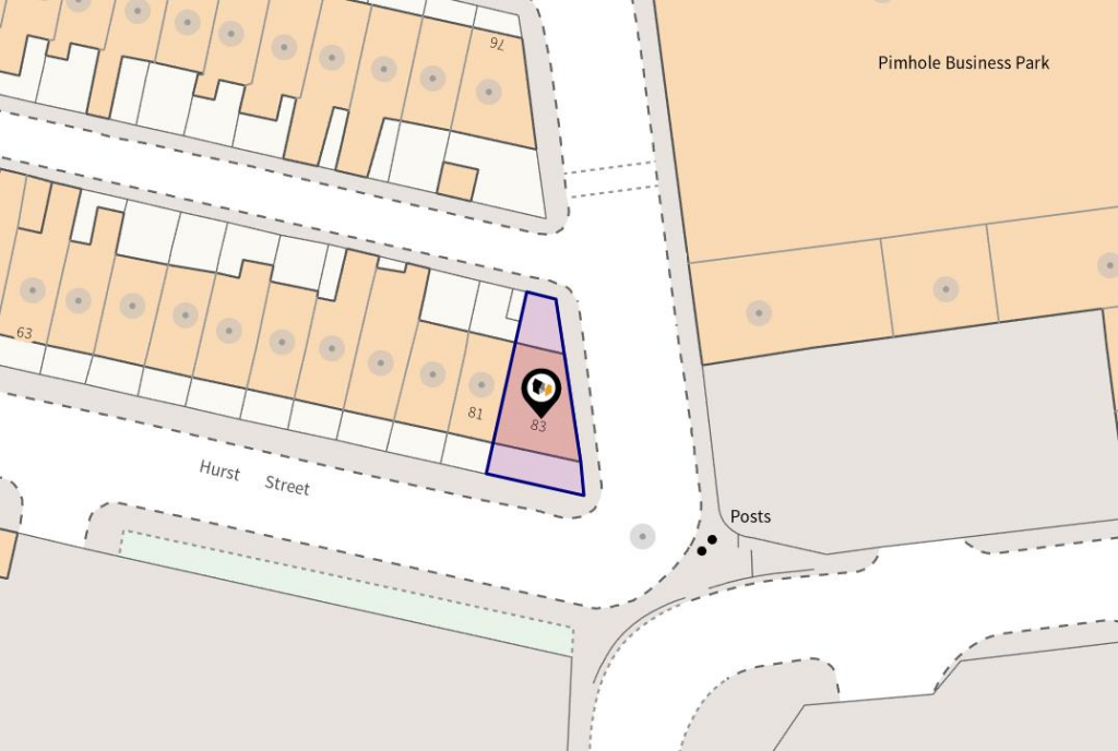
Hurst Street, Bury
By Pearson Ferrier
£ 100,000
Pearson Ferrier says ..
Tenure - Leasehold (Residue of 999 years remaining from 1884) Council Tax Banding - A EPC Rating - TBC
- Bedrooms
- 3
- Bathrooms
- 1
The heatmap indicates the level of crime in the area. The color of the heatmap indicates the crime severity and recency.
Metrics Year-on-Year
- Average area value
- 248,661.00 £Decreased by 6.33 %
- Average area rental value
- 943.00 £/moDecreased by 1.87 %
- Est rental Yield
- 4.55 %Increased by 4.84 %
- Crime Rate
- 0.00 %
from 265,463.00 £
from 961.00 £/mo
from 4.34 %
from 0.00 %
Agent Activity
Pearson Ferrier created the listing.
Nearby Schools
| Name | Type | Ofsted | Distance |
|---|---|---|---|
| St Thomas Church Of England Primary School | Academy Converter | 0.16 KM | |
| Bury East Children'S Centre Spoke | Children's Centre | 0.82 KM | |
| East Ward Community Primary School | Academy Converter | 0.94 KM | |
| Hazel Wood High School | Academy Sponsor Led | 0.97 KM | |
| Bury East Children'S Centre Hub | Children's Centre | 0.97 KM |
Images


Nearby Streets
| Name | Average Price | Average Sqft | Distance |
|---|---|---|---|
| Back Andrew Street | £ 185,000 | 0 | 0.00 KM |
| Back Benson Street | £ 210,000 | 0 | 0.00 KM |
| Back James Street | £ 0 | 0 | 0.00 KM |
| School Street | £ 1,800,000 | 0 | 0.00 KM |
| Back Wash Lane South | £ 0 | 0 | 0.00 KM |
Nearby Transport
| Name | NLC | TLC | Distance |
|---|---|---|---|
| Clifton (Manchester) | 2795 | CLI | 8.38 KM |
Nearby Listings
| Address | Price | Type | Score | Distance |
|---|---|---|---|---|
| Hurst Street, Bury | £ 100,000 | BUY | Unknown | 0.00 KM |
| Saleses Farmhouse, Off Pimhole Road, School Street, Bury, Greater Manchester, BL9 | £ 595,000 | BUY | 7 / 10 | 0.15 KM |
| Andrew Street, Bury, BL9 | £ 160,000 | BUY | 6 / 10 | 0.26 KM |
| Benson Street, Bury | £ 230,000 | BUY | 6 / 10 | 0.28 KM |
| Benson Street, Bury, BL9 | £ 98,000 | BUY | 8 / 10 | 0.28 KM |
Nearby Properties
| Address | Price | Distance |
|---|---|---|
| 48 Hurst Street | £ 65,000 | 0.09 KM |
| 79 Hurst Street | £ 75,000 | 0.09 KM |
| 77 Hurst Street | £ 65,000 | 0.09 KM |
| 59 Hurst Street | £ 68,000 | 0.09 KM |
| 73 Hurst Street | £ 35,000 | 0.09 KM |