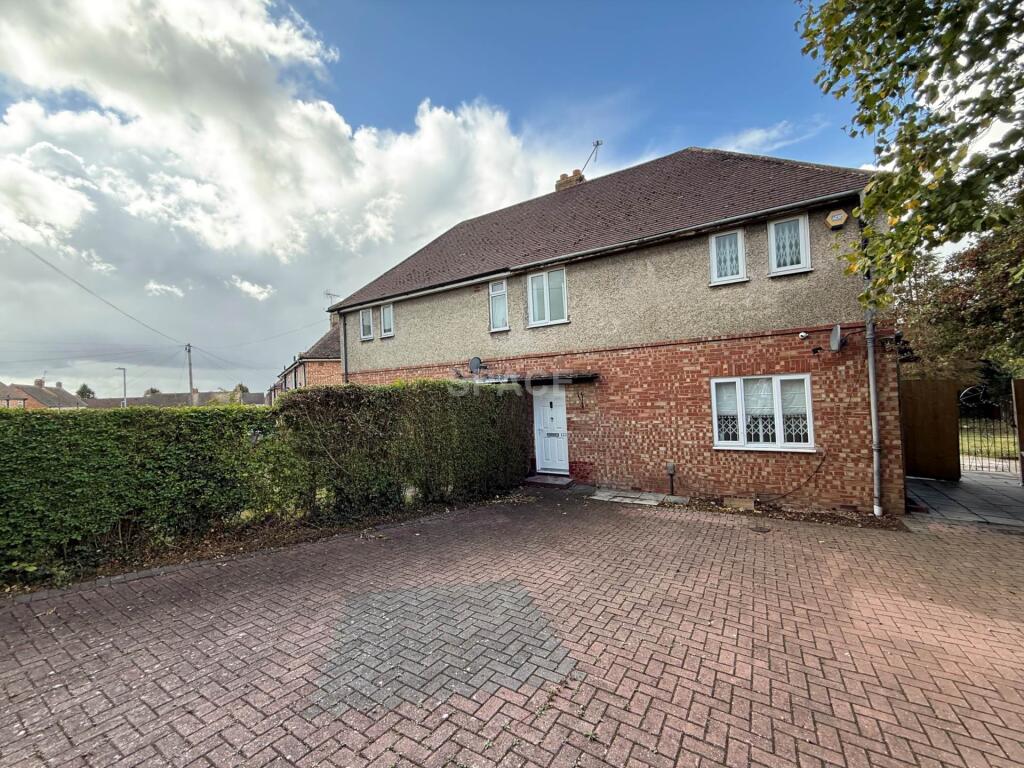

Ambrook Road, Reading
By SPACE
£ 1,500
SPACE says ..
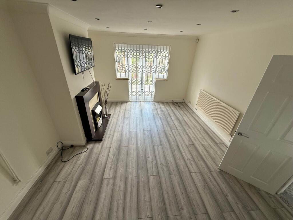
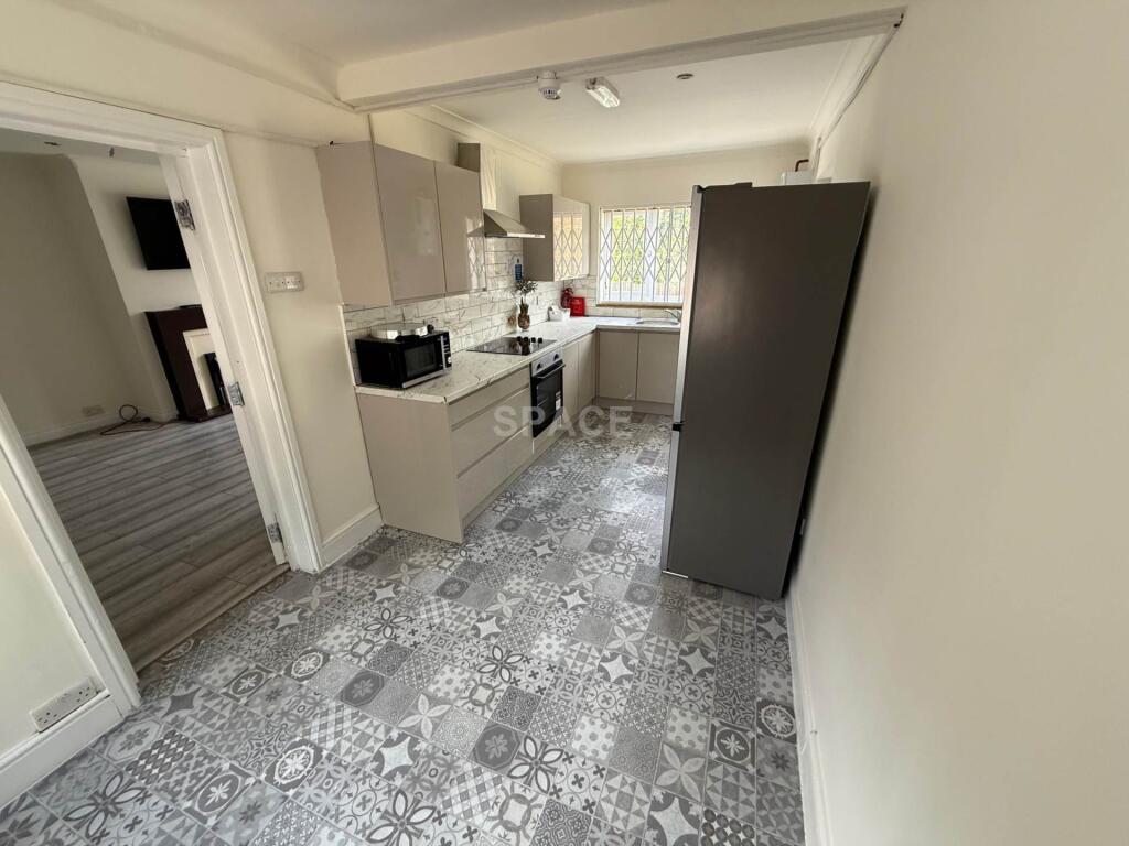
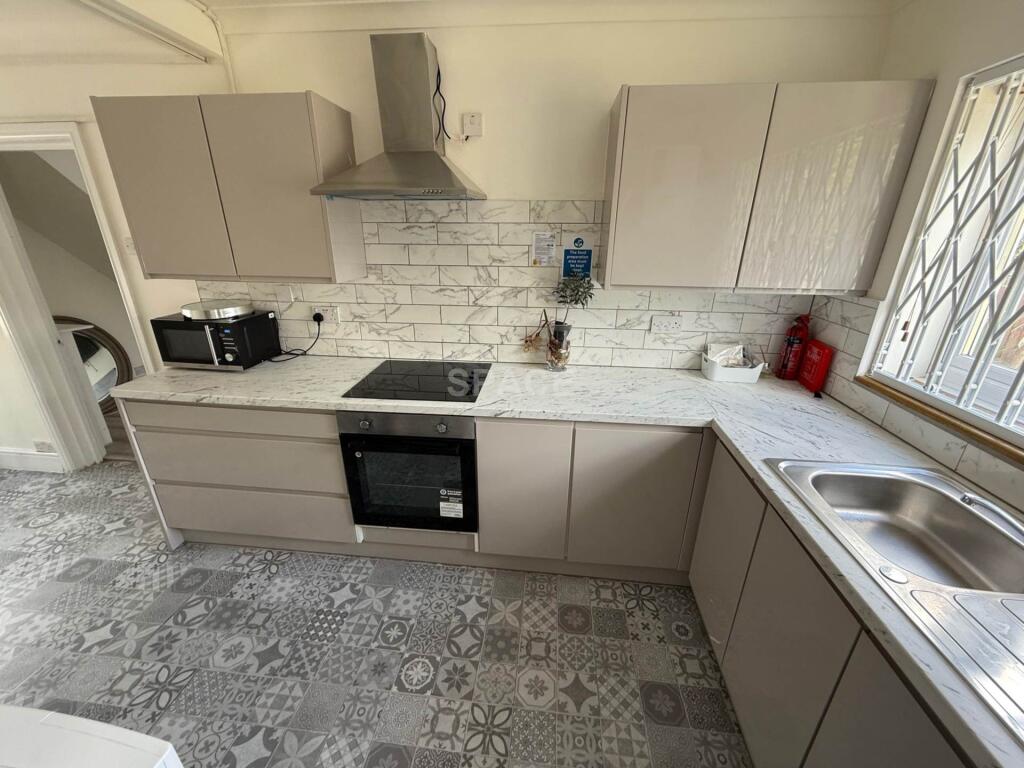
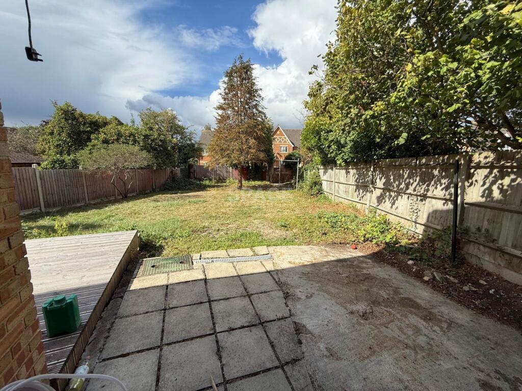
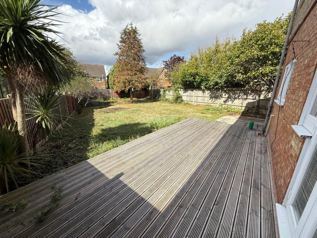
Spacious 2 Bedroom End of Terrace with Private Gated Driveway & Large Garden
- Bedrooms
- 2
- Bathrooms
- 1
The heatmap indicates the level of crime in the area. The color of the heatmap indicates the crime severity and recency.
Metrics Year-on-Year
- Average area value
- 312,014.00 £Increased by 7.46 %
- Average area rental value
- 1,599.00 £/moDecreased by 0.87 %
- Est rental Yield
- 6.15 %Decreased by 7.80 %
- Crime Rate
- 9.00 %Unchanged by 0.00 %
from 290,359.00 £
from 1,613.00 £/mo
from 6.67 %
from 9.00 %
Agent Activity
SPACE created the listing.
Nearby Schools
| Name | Type | Ofsted | Distance |
|---|---|---|---|
| John Madejski Academy | Academy Sponsor Led | Requires improvement | 0.41 KM |
| Geoffrey Field Junior School | Community School | Good | 0.49 KM |
| Geoffrey Field Infant School | Community School | Outstanding | 0.49 KM |
| Christ The King Catholic Primary School | Voluntary Aided School | Requires improvement | 0.54 KM |
| Whitley Park Primary And Nursery School | Community School | Requires improvement | 0.78 KM |
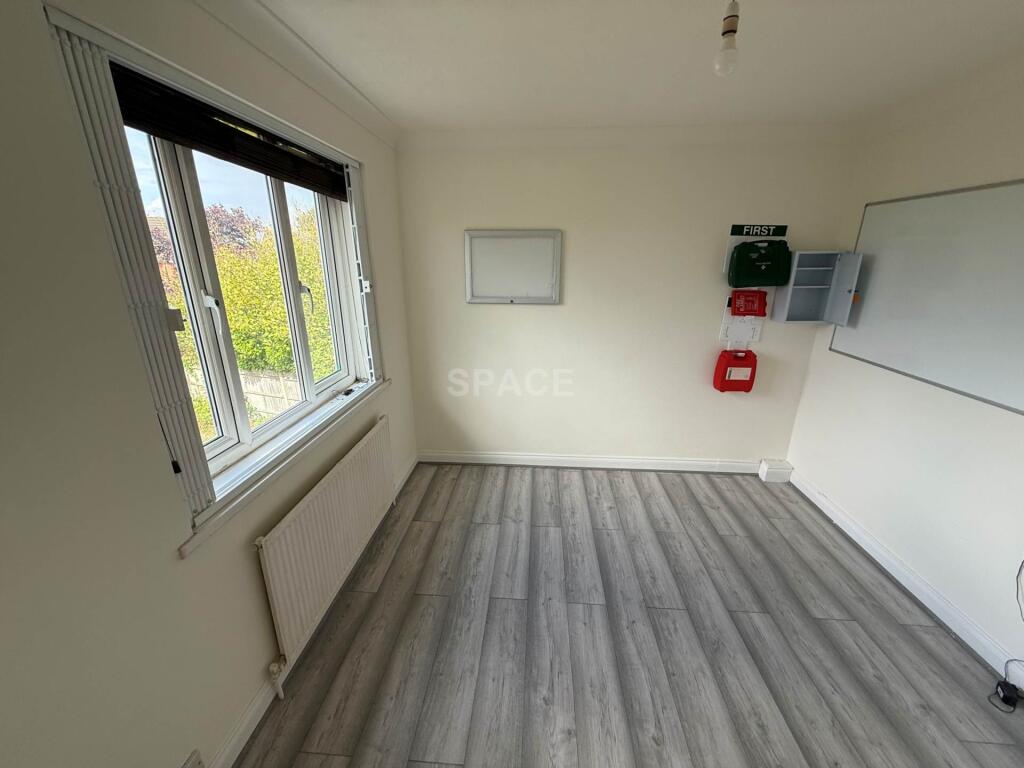
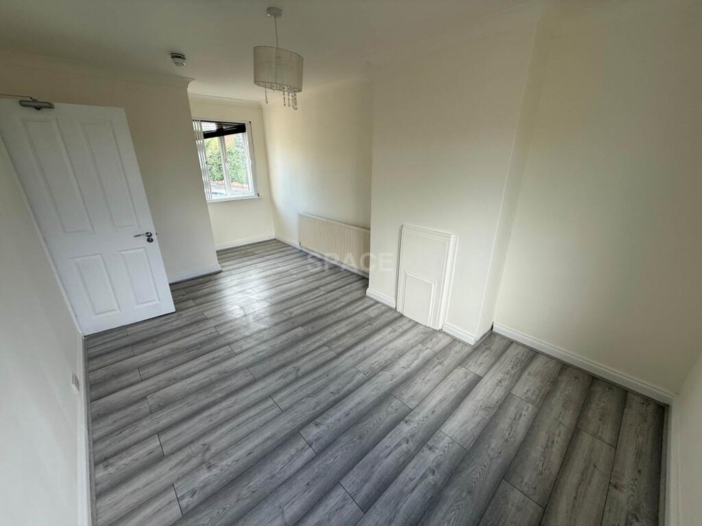
Images
Nearby Streets
| Name | Average Price | Average Sqft | Distance |
|---|---|---|---|
| Merrivale Gardens | £ 0 | 0 | 0.00 KM |
| Poldark Place | £ 0 | 0 | 0.00 KM |
| Vernon Crescent | £ 0 | 0 | 0.00 KM |
| Hatchway | £ 84,000 | 0 | 0.00 KM |
| Honiton Road | £ 0 | 0 | 0.00 KM |
Nearby Transport
| Name | NLC | TLC | Distance |
|---|---|---|---|
| Reading | 3149 | RDG | 3.99 KM |
| Reading West | 3160 | RDW | 4.46 KM |
| Earley | 5694 | EAR | 5.66 KM |
| Winnersh Triangle | 5698 | WTI | 8.39 KM |
| Tilehurst | 3154 | TLH | 8.86 KM |
Nearby Listings
| Address | Price | Type | Score | Distance |
|---|---|---|---|---|
| Ambrook Road, Reading | £ 1,500 | RENT | Unknown | 0.00 KM |
| Hartland Road, Reading, RG2 | £ 1,650 | RENT | Unknown | 0.23 KM |
| Greenfields Road, Reading | £ 1,400 | RENT | Unknown | 0.30 KM |
| Hartland Road, Reading, RG2 | £ 1,350 | RENT | Unknown | 0.36 KM |
| Corinne Close, Reading, Berkshire, RG2 | £ 1,900 | RENT | Unknown | 0.37 KM |
Nearby Properties
| Address | Price | Distance |
|---|---|---|
| 82 Ambrook Road | £ 272,000 | 0.00 KM |
| 101 Ambrook Road | £ 230,000 | 0.00 KM |
| 89 Ambrook Road | £ 173,000 | 0.00 KM |
| 99 Ambrook Road | £ 345,000 | 0.00 KM |
| 110 Ambrook Road | £ 270,000 | 0.00 KM |