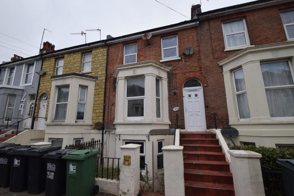
HU
Langney Road, Eastbourne
By Hunt Frame
£ 725
Hunt Frame says ..
No summary available.
- Bedrooms
- 1
- Bathrooms
- 1
The heatmap indicates the level of crime in the area. The color of the heatmap indicates the crime severity and recency.
Metrics Year-on-Year
- Average area value
- 238,995.00 £Decreased by 14.36 %
- Average area rental value
- 991.00 £/moDecreased by 9.99 %
- Est rental Yield
- 4.98 %Increased by 5.29 %
- Crime Rate
- 68.00 %Unchanged by 0.00 %
from 279,071.00 £
from 1,101.00 £/mo
from 4.73 %
from 68.00 %
Agent Activity
Hunt Frame created the listing.
Nearby Schools
| Name | Type | Ofsted | Distance |
|---|---|---|---|
| Bourne Primary School | Community School | Good | 0.41 KM |
| Devonshire Children'S Centre | Children's Centre | 0.61 KM | |
| Anderida Learning Centre | Other Independent Special School | Good | 0.68 KM |
| Roselands Infants' School | Academy Converter | 1.22 KM | |
| Eastbourne College | Other Independent School | 1.34 KM |
Images
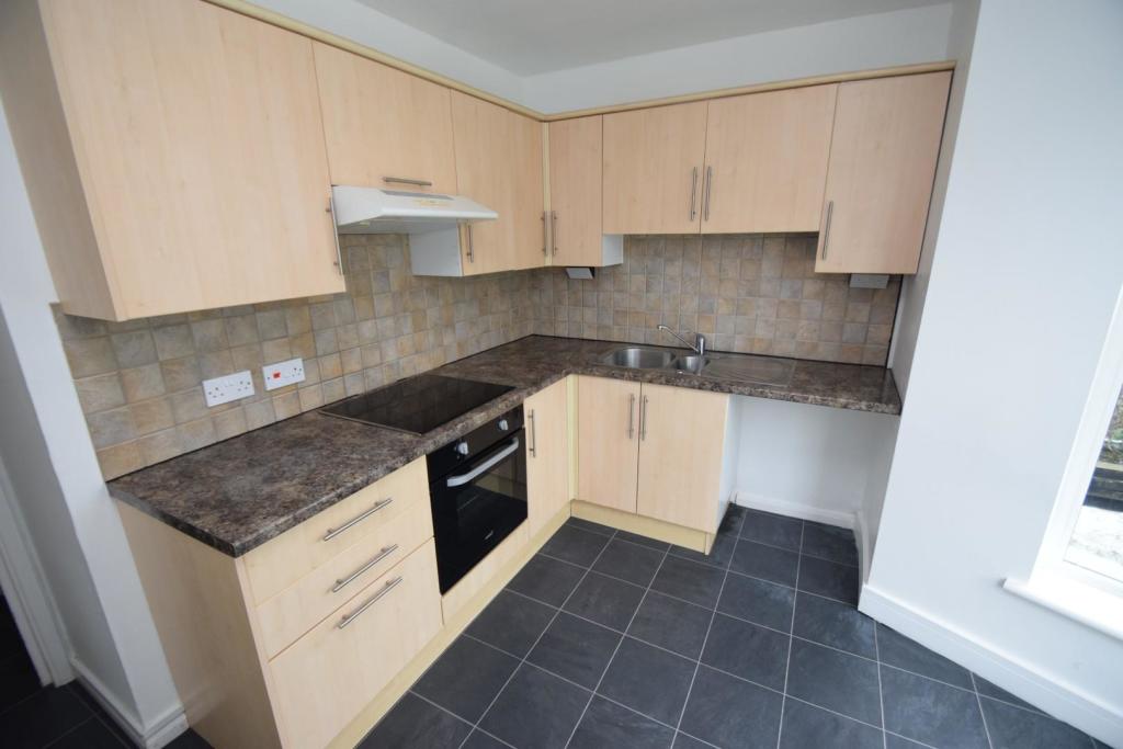
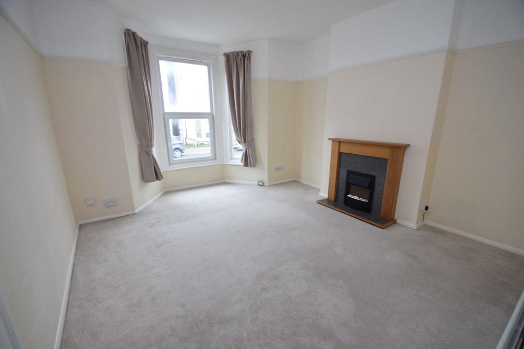
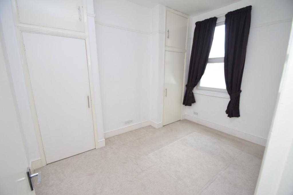

Nearby Streets
| Name | Average Price | Average Sqft | Distance |
|---|---|---|---|
| Junction Road | £ 0 | 0 | 0.00 KM |
| Upper Avenue Roundabout | £ 0 | 0 | 0.00 KM |
| Manifold Mews | £ 0 | 0 | 0.00 KM |
| Abbotts Close | £ 250,000 | 0 | 0.00 KM |
| Connaught Road | £ 0 | 0 | 0.00 KM |
Nearby Transport
| Name | NLC | TLC | Distance |
|---|---|---|---|
| Eastbourne | 5448 | EBN | 0.90 KM |
| Hampden Park (Sussex) | 5450 | HMD | 3.17 KM |
| Pevensey And Westham | 5461 | PEV | 6.45 KM |
| Polegate | 5455 | PLG | 7.54 KM |
| Pevensey Bay | 5462 | PEB | 7.95 KM |
Nearby Listings
| Address | Price | Type | Score | Distance |
|---|---|---|---|---|
| 55 Langney Road, Eastbourne | £ 725 | RENT | Unknown | 0.01 KM |
| Langney Road, Eastbourne | £ 1,100 | RENT | Unknown | 0.01 KM |
| Langney Road, Town | £ 700 | RENT | Unknown | 0.01 KM |
| Langney Road, Eastbourne, East Sussex, BN21 | £ 1,100 | RENT | Unknown | 0.01 KM |
| Langney Road, EASTBOURNE | £ 925 | RENT | Unknown | 0.04 KM |
Nearby Properties
| Address | Price | Distance |
|---|---|---|
| 43b Langney Road | £ 105,950 | 0.02 KM |
| 45 Langney Road | £ 385,000 | 0.02 KM |
| 61a Langney Road | £ 85,000 | 0.02 KM |
| 43a Langney Road | £ 124,600 | 0.02 KM |
| 30 Langney Road | £ 290,000 | 0.04 KM |