MC
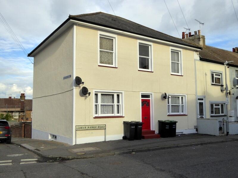
Lower Range Road, DA12 2QL
By McConnells
£ 775
McConnells says ..
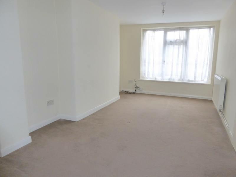
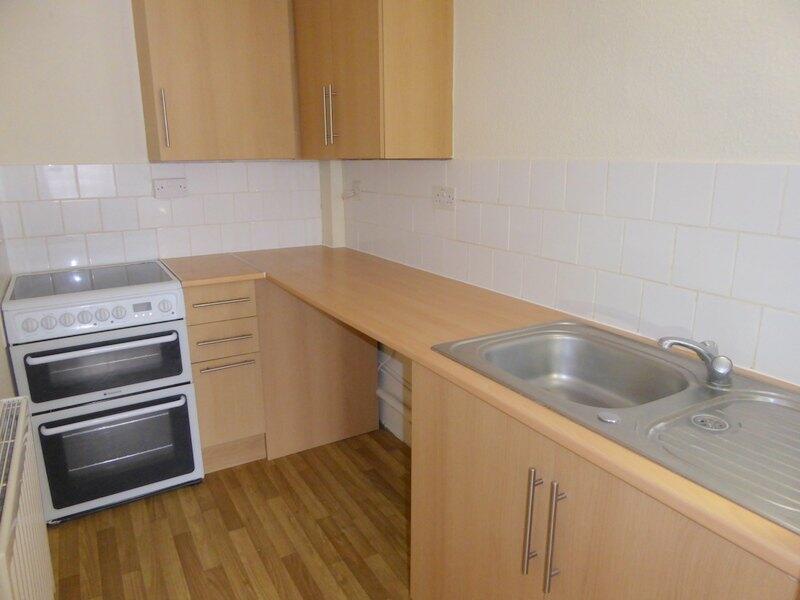
Ground floor studio flat.
- Bedrooms
- 0
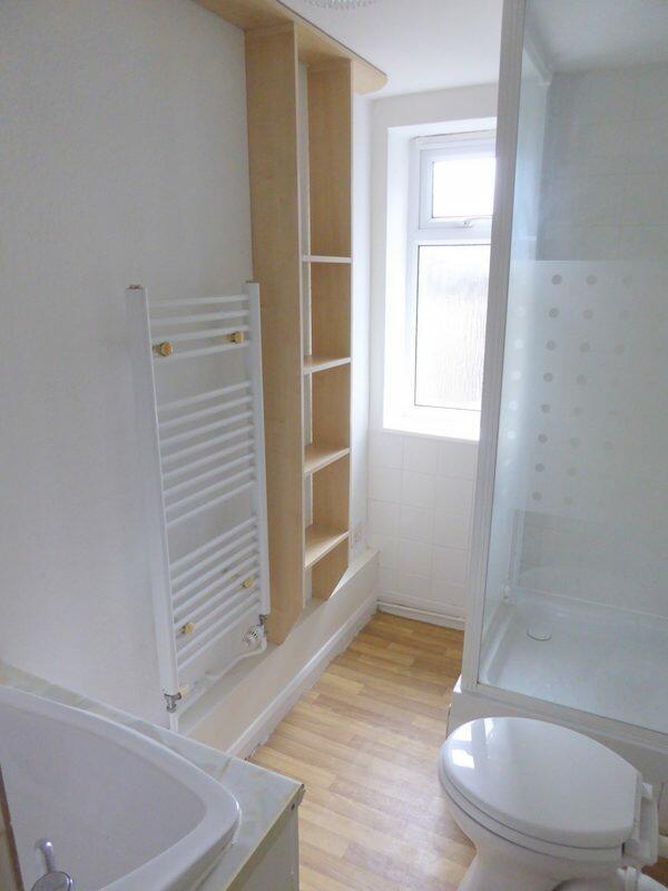
- Bathrooms
- 1
The heatmap indicates the level of crime in the area. The color of the heatmap indicates the crime severity and recency.
Metrics Year-on-Year
- Average area value
- 277,018.00 £Decreased by 9.31 %
- Average area rental value
- 1,179.00 £/moIncreased by 1.11 %
- Est rental Yield
- 5.11 %Increased by 11.57 %
- Crime Rate
- 15.00 %Unchanged by 0.00 %
from 305,441.00 £
from 1,166.00 £/mo
from 4.58 %
from 15.00 %
Agent Activity
McConnells created the listing.
Nearby Schools
| Name | Type | Ofsted | Distance |
|---|---|---|---|
| St John'S Catholic Primary School, Gravesend | Academy Converter | Good | 0.39 KM |
| Riverside Children'S Centre (Gravesend) | Children's Centre | 0.56 KM | |
| Gravesend Grammar School | Academy Converter | Outstanding | 0.62 KM |
| St John'S Catholic Comprehensive | Voluntary Aided School | Good | 0.71 KM |
| Link19 College | Special Post 16 Institution | 0.97 KM |
Images

Nearby Streets
| Name | Average Price | Average Sqft | Distance |
|---|---|---|---|
| East Milton Road | £ 0 | 0 | 0.00 KM |
| Copper Beech Close | £ 0 | 0 | 0.00 KM |
| Canal Basin | £ 0 | 0 | 0.00 KM |
| Milton Road | £ 610,000 | 0 | 0.00 KM |
| West Court Lane | £ 500,000 | 0 | 0.00 KM |
Nearby Transport
| Name | NLC | TLC | Distance |
|---|---|---|---|
| Gravesend | 5172 | GRV | 2.49 KM |
| Tilbury Town | 7462 | TIL | 4.66 KM |
| East Tilbury | 7471 | ETL | 5.73 KM |
| Sole Street | 5126 | SOR | 6.35 KM |
| Meopham | 5116 | MEP | 6.86 KM |
Nearby Listings
| Address | Price | Type | Score | Distance |
|---|---|---|---|---|
| Lower Range Road, DA12 2QL | £ 800 | RENT | Unknown | 0.00 KM |
| Lower Range Road, Gravesend, Kent, DA12 | £ 1,300 | RENT | Unknown | 0.04 KM |
| Gravesend, Kent, DA12 | £ 1,600 | RENT | Unknown | 0.14 KM |
| Lower Range Road, Gravesend | £ 900 | RENT | Unknown | 0.17 KM |
| Range Road, Gravesend, Kent, DA12 | £ 1,600 | RENT | Unknown | 0.22 KM |
Nearby Properties
| Address | Price | Distance |
|---|---|---|
| 3 Lower Range Road | £ 177,000 | 0.01 KM |
| 28 Lower Range Road | £ 223,500 | 0.01 KM |
| 25 Lower Range Road | £ 126,000 | 0.01 KM |
| 52 Lower Range Road | £ 103,000 | 0.01 KM |
| 6 Lower Range Road | £ 169,000 | 0.01 KM |