HA
smiths Lane, Swindon
By haart
£ 1,150
haart says ..
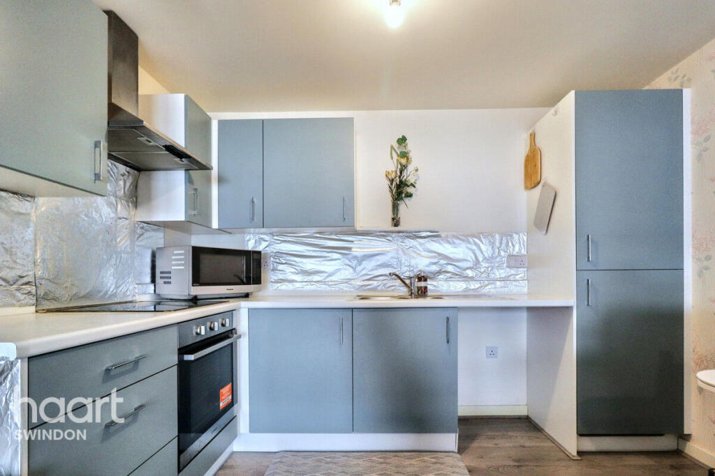
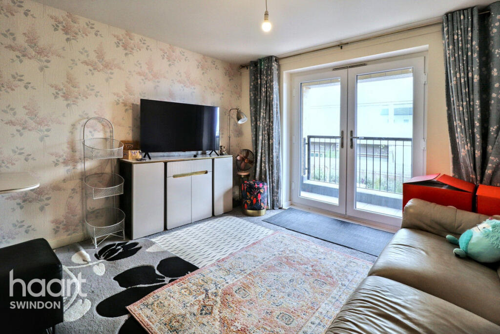
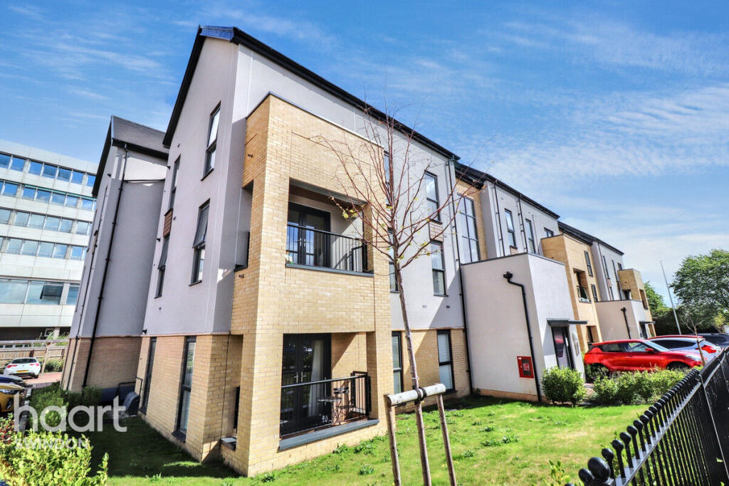
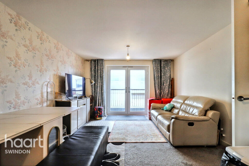
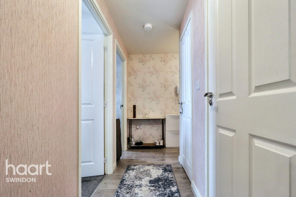
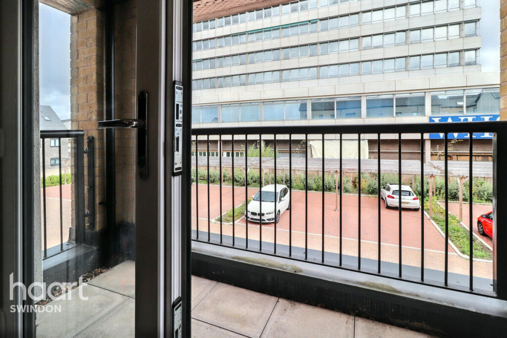
East Swindon Modern Two Bedroom Furnished Apartment with Ensuite & Balcony
- Bedrooms
- 2
- Bathrooms
- 1
The heatmap indicates the level of crime in the area. The color of the heatmap indicates the crime severity and recency.
Metrics Year-on-Year
- Average area value
- 279,444.00 £Decreased by 15.29 %
- Average area rental value
- 1,200.00 £/moDecreased by 2.83 %
- Est rental Yield
- 5.15 %Increased by 14.70 %
- Crime Rate
- 4.00 %Unchanged by 0.00 %
from 329,896.00 £
from 1,235.00 £/mo
from 4.49 %
from 4.00 %
Agent Activity
haart created the listing.
Nearby Schools
| Name | Type | Ofsted | Distance |
|---|---|---|---|
| Nyland School | Academy Special Converter | Good | 1.01 KM |
| Horizons College | Special Post 16 Institution | Requires improvement | 1.02 KM |
| Nythe Primary School | Academy Converter | 1.04 KM | |
| Goddard Park Community Primary School | Academy Converter | Good | 1.05 KM |
| Mountford Manor Primary School | Academy Converter | Good | 1.07 KM |
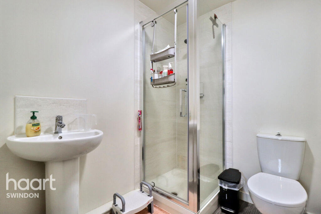
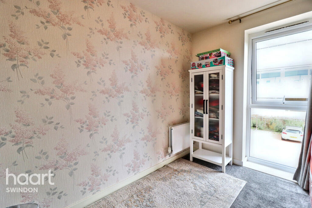
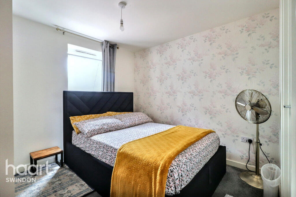
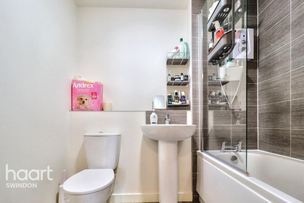
Images
Nearby Streets
| Name | Average Price | Average Sqft | Distance |
|---|---|---|---|
| Smiths Lane | £ 195,000 | 0 | 0.00 KM |
| Crampton Square | £ 370,000 | 0 | 0.00 KM |
| Crampton Mews | £ 0 | 0 | 0.00 KM |
| Dorcan Way | £ 0 | 0 | 0.00 KM |
| Heath Way | £ 0 | 0 | 0.00 KM |
Nearby Transport
| Name | NLC | TLC | Distance |
|---|---|---|---|
| Swindon (Wilts) | 3333 | SWI | 3.97 KM |
Nearby Listings
| Address | Price | Type | Score | Distance |
|---|---|---|---|---|
| smiths Lane, Swindon | £ 1,150 | RENT | Unknown | 0.00 KM |
| Twickenham Close, SWINDON | £ 1,000 | RENT | Unknown | 0.42 KM |
| Railton Way, SWINDON | £ 1,600 | RENT | Unknown | 0.47 KM |
| Egerton Close, Swindon | £ 1,350 | RENT | Unknown | 0.48 KM |
| OAKFIELD, EAST SWINDON | £ 2,000 | RENT | Unknown | 0.51 KM |
Nearby Properties
| Address | Price | Distance |
|---|---|---|
| 58 Weedon Road | £ 128,000 | 0.47 KM |
| 72 Weedon Road | £ 210,000 | 0.47 KM |
| 66 Weedon Road | £ 176,000 | 0.47 KM |
| 84 Weedon Road | £ 295,000 | 0.47 KM |
| 90 Weedon Road | £ 282,500 | 0.47 KM |